Best Hikes in Arizona: Top Trails Across the State
Hiking in Arizona
Arizona is one of the most beautiful states in the U.S., filled with some of the Southwest’s most iconic natural wonders. Here you’ll find an incredible variety of landscapes—from narrow slot canyons to the vast Grand Canyon, from the red rock formations of Sedona to the towering Ponderosa Pines of the High Country, and from desert lakes to forests of giant saguaro cacti. Many of these sights are best experienced on foot, and Arizona’s hiking trails provide the perfect way to see what makes this state so unique.
The hikes we’ve included in this guide are among the best hikes in Arizona that don’t require winning a lottery or securing an advance permit, though some may require a parking pass or entrance fee.
Before hitting the trail, remember to Practice the Leave No Trace Principles. Arizona’s rugged terrain, intense sun, and remote backcountry make preparation essential. Carry plenty of water, wear sun protection, and know your limits. Drones are not permitted in National Forest Wilderness areas or any National Park Service sites, and it’s also proper trail etiquette to avoid flying drones over people.
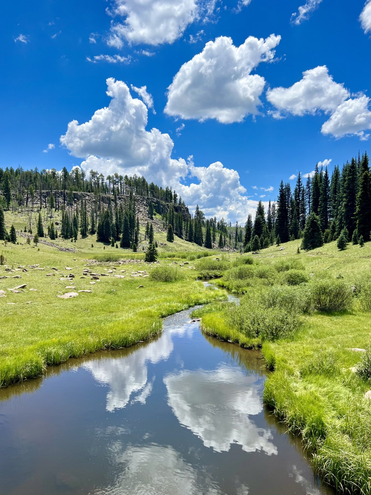
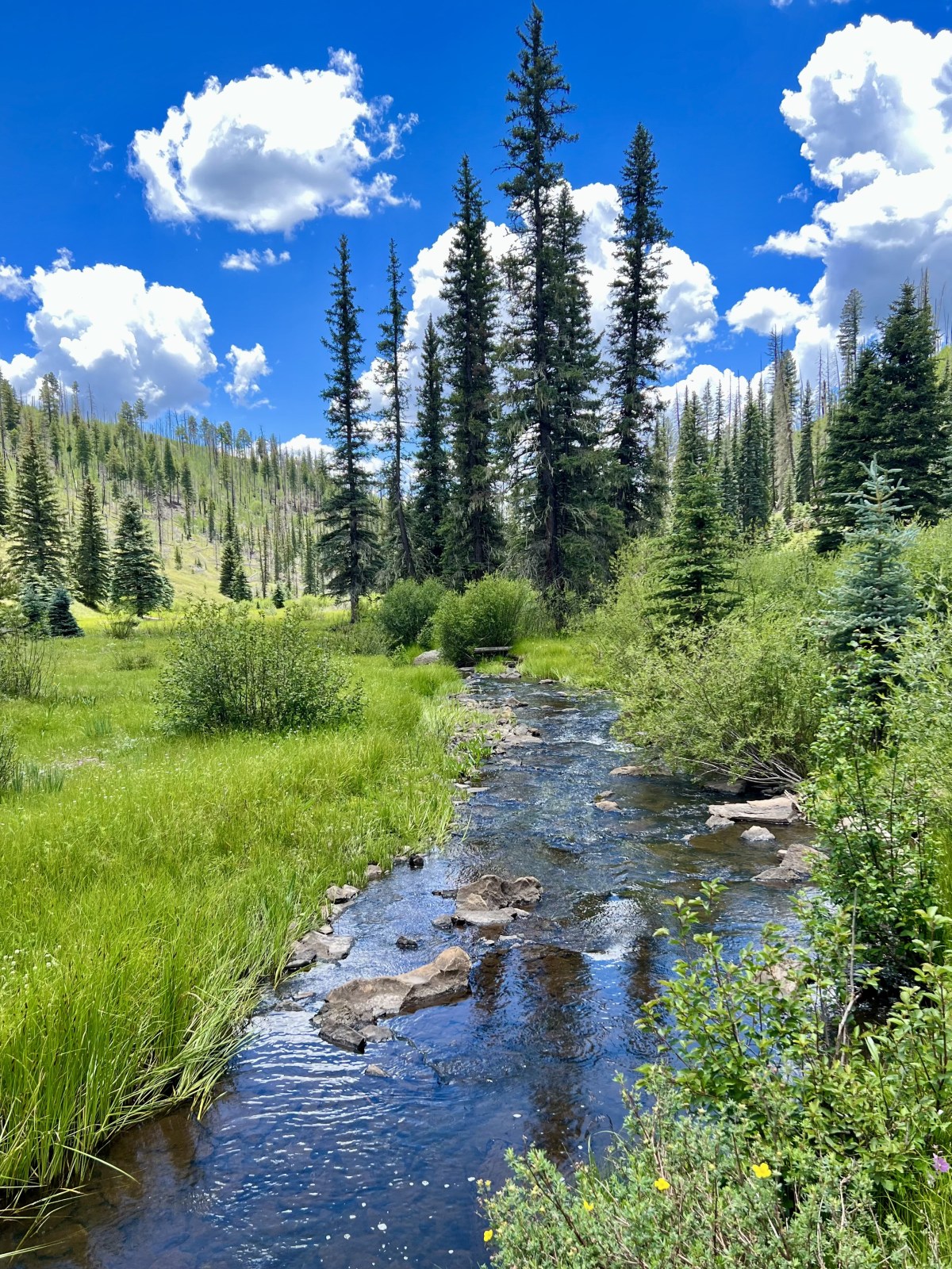
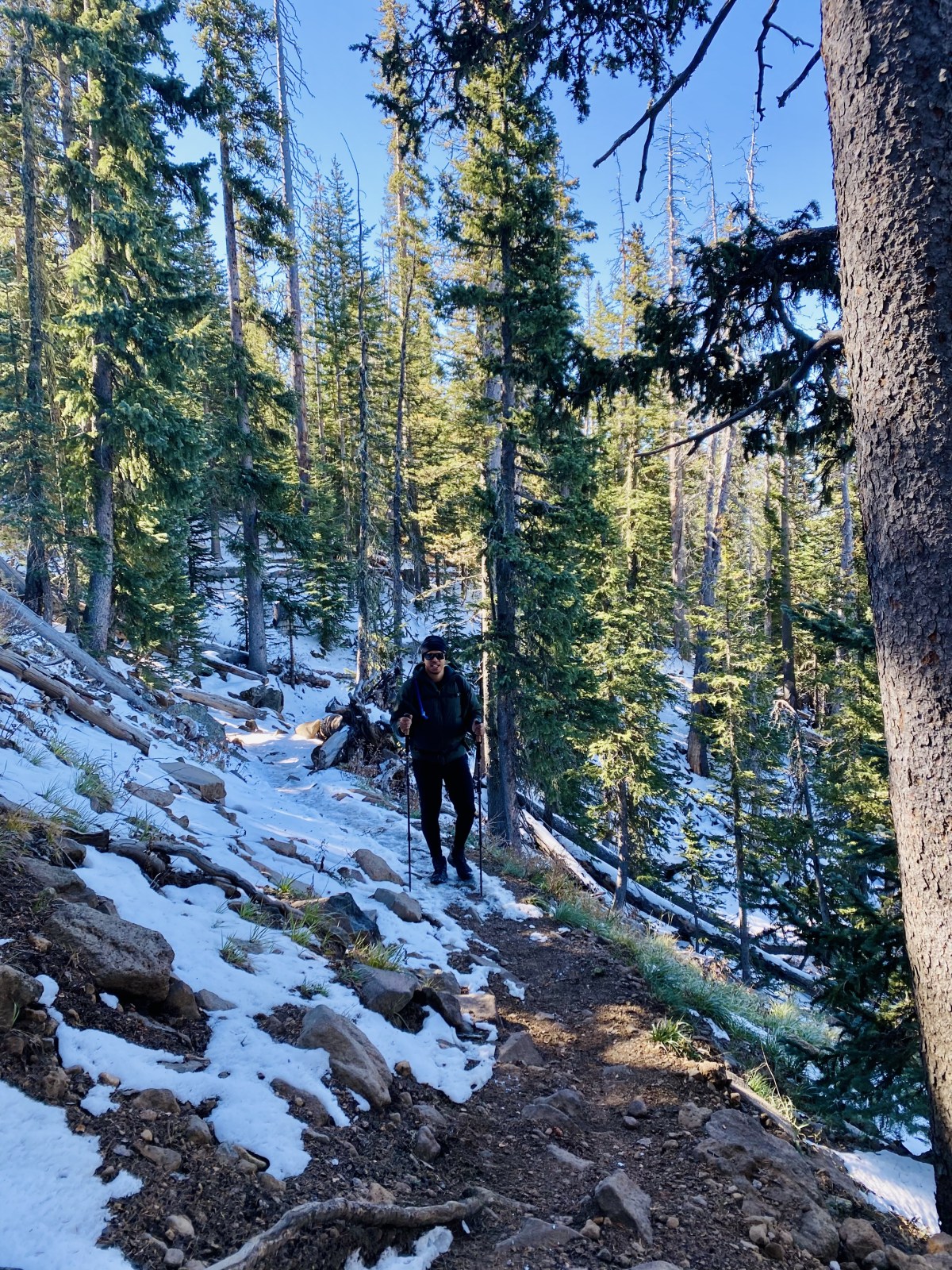
Thompson Trail
Located in the White Mountains of eastern Arizona within the Apache-Sitgreaves National Forest, the Thompson Trail is a scenic hike best enjoyed from late spring through early fall. The trail follows the Black River, winding through peaceful meadows and dense forest, making it a great escape from Arizona’s desert heat.
Check out the Thompson Trail on AllTrails for maps and details. And if you’re planning more time in the area, don’t miss our full guide to The White Mountains with additional hikes and things to do.
Quick Stats:
Length:
5 miles
Route Type:
Out and back
Elevation Gain:
288 ft
Vaulted Toilets:
No
Dog Friendly:
Yes
Fee:
No
Difficulty:
Easy
Water:
No water at trailhead
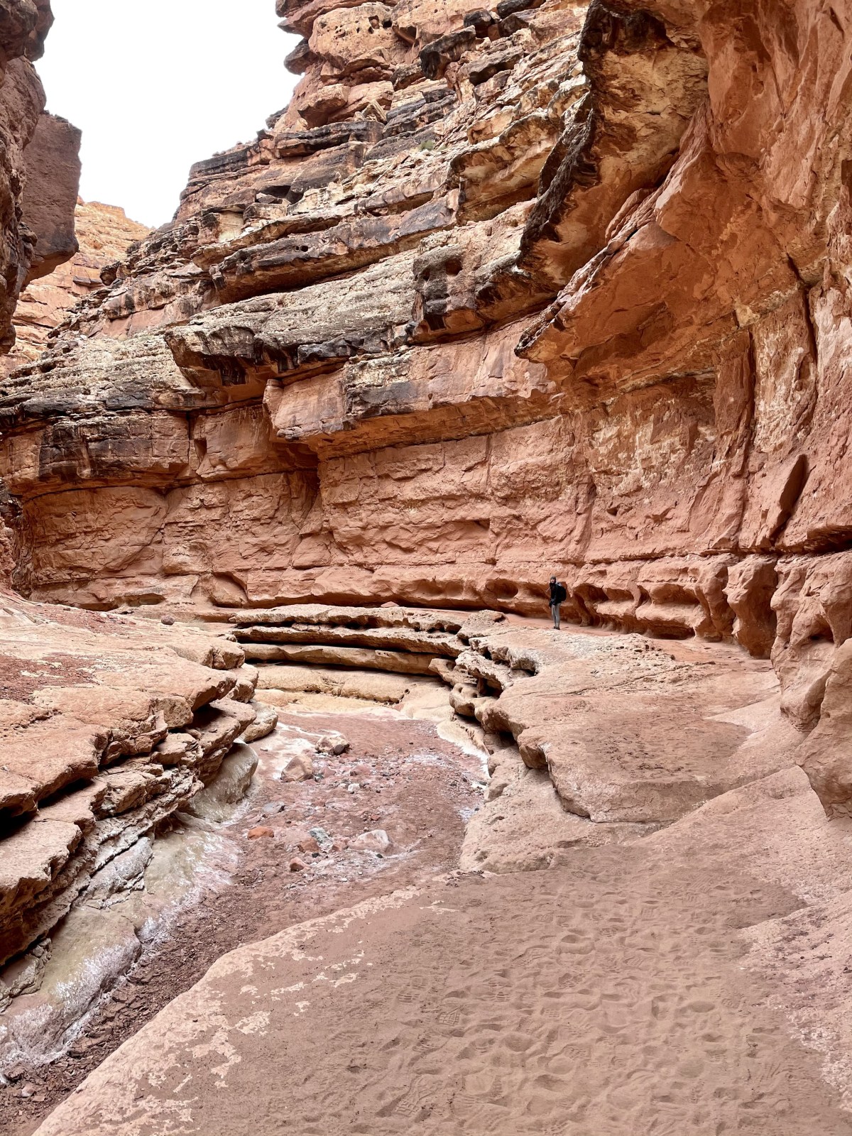
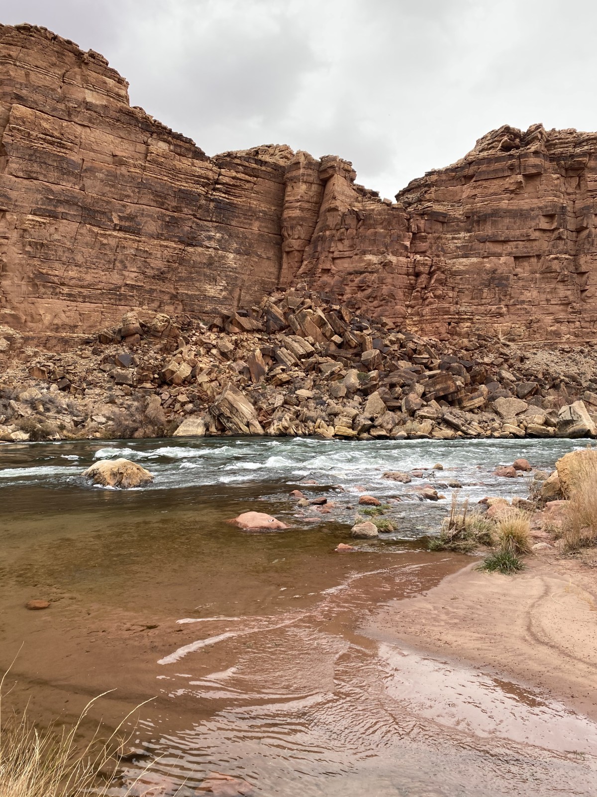
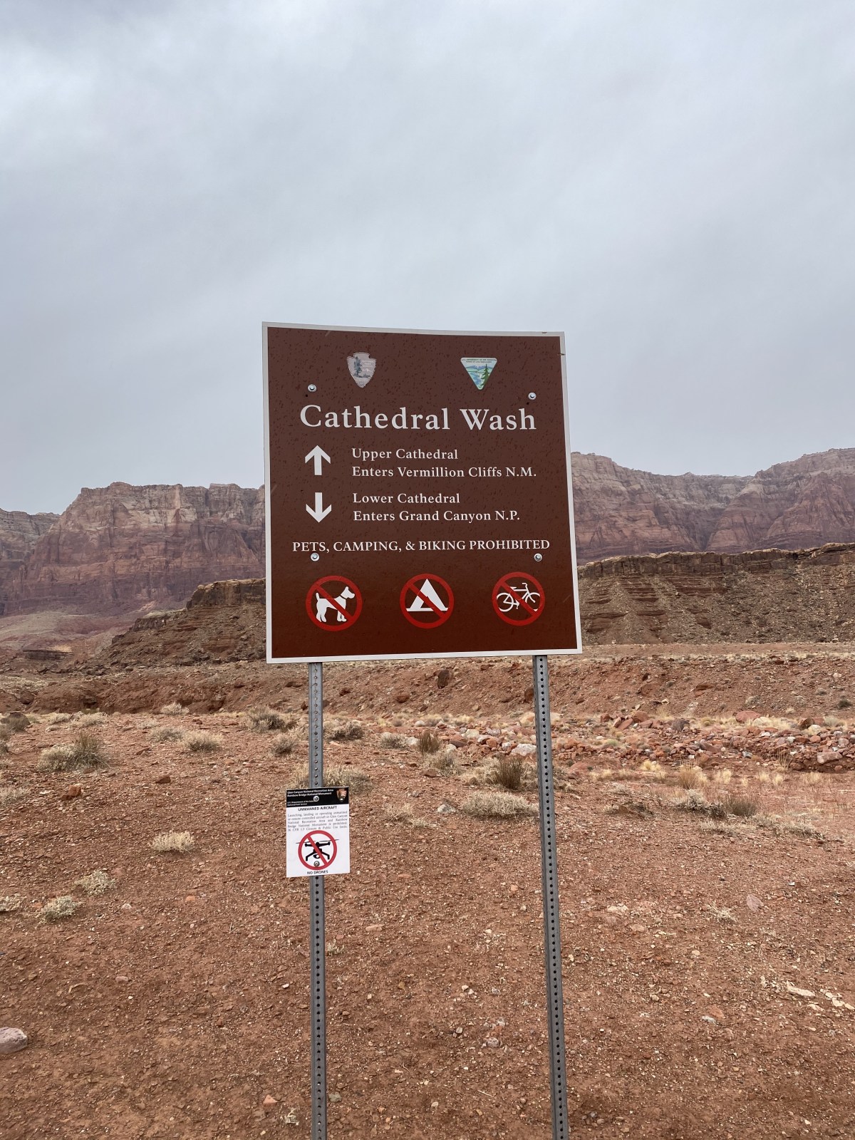
Cathedral Wash Trail
Part slot canyon, part desert wash, Cathedral Wash is one of the most unique hikes in northern Arizona. Each turn reveals dramatic rock formations shaped by centuries of erosion, making this trail both stunning and adventurous. Follow it all the way to the Colorado River at Lees Ferry in Glen Canyon National Recreation Area, but be prepared for uneven footing and watch your step carefully.
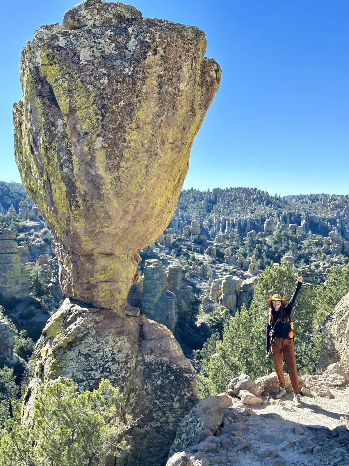
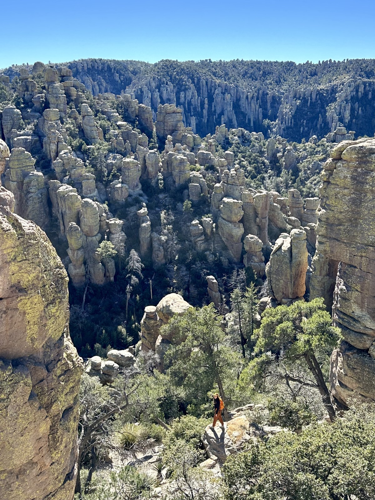
The Big Loop Trail at Chiricahua National Monument is truly out of this world! Hiking here is the best way to experience the monument’s otherworldly landscape of towering hoodoos, spires, and rock formations that feel like a geological wonderland. The trail winds through the sky island of the Chiricahua Mountains, where cooler high-elevation forests contrast with the surrounding desert. It’s an unforgettable hike that showcases why this national monument is often called a “Wonderland of Rocks.”
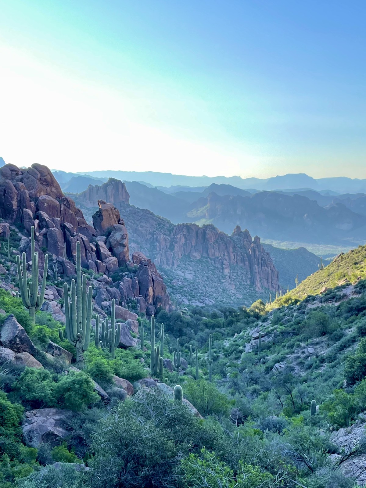
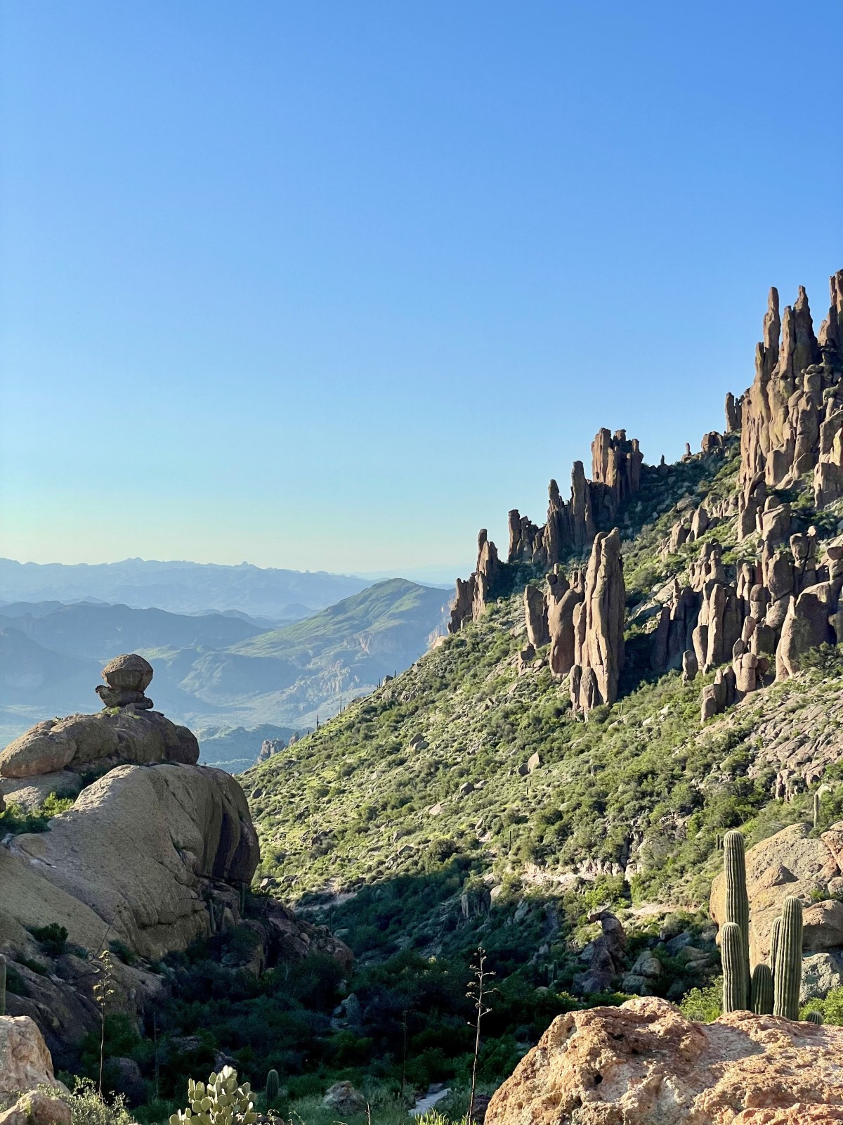
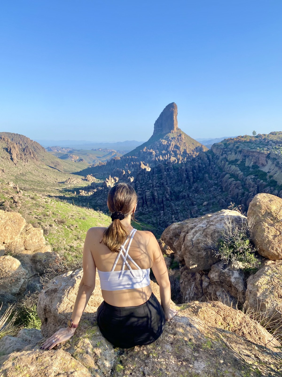
Weavers Needle is one of the most recognizable landmarks in the Superstition Wilderness, just outside the greater Phoenix area. This towering spire of rock rises dramatically above the rugged canyons and mountains, creating a view that feels both iconic and timeless. The best way to see it is from Fremont Saddle, reached by hiking the Peralta Trail through scenic desert landscapes filled with saguaros and rocky cliffs.
This hike is a local favorite, especially in the cooler months of winter, spring, and late fall. Check out the Peralta Trail to Fremont Saddle on AllTrails for maps and reviews.
If you’re planning more time in the area, be sure to explore some of the other best hikes in the Superstition Mountains, which include challenging climbs, slot canyons, and hidden desert gems.
Quick Stats:
Length:
4.6 miles
Route Type:
Out and Back
Elevation Gain:
1,400 ft
Vaulted Toilets:
Yes
Dog Friendly:
Yes
Fee:
No
Difficulty:
Hard
Water:
No water at trailhead
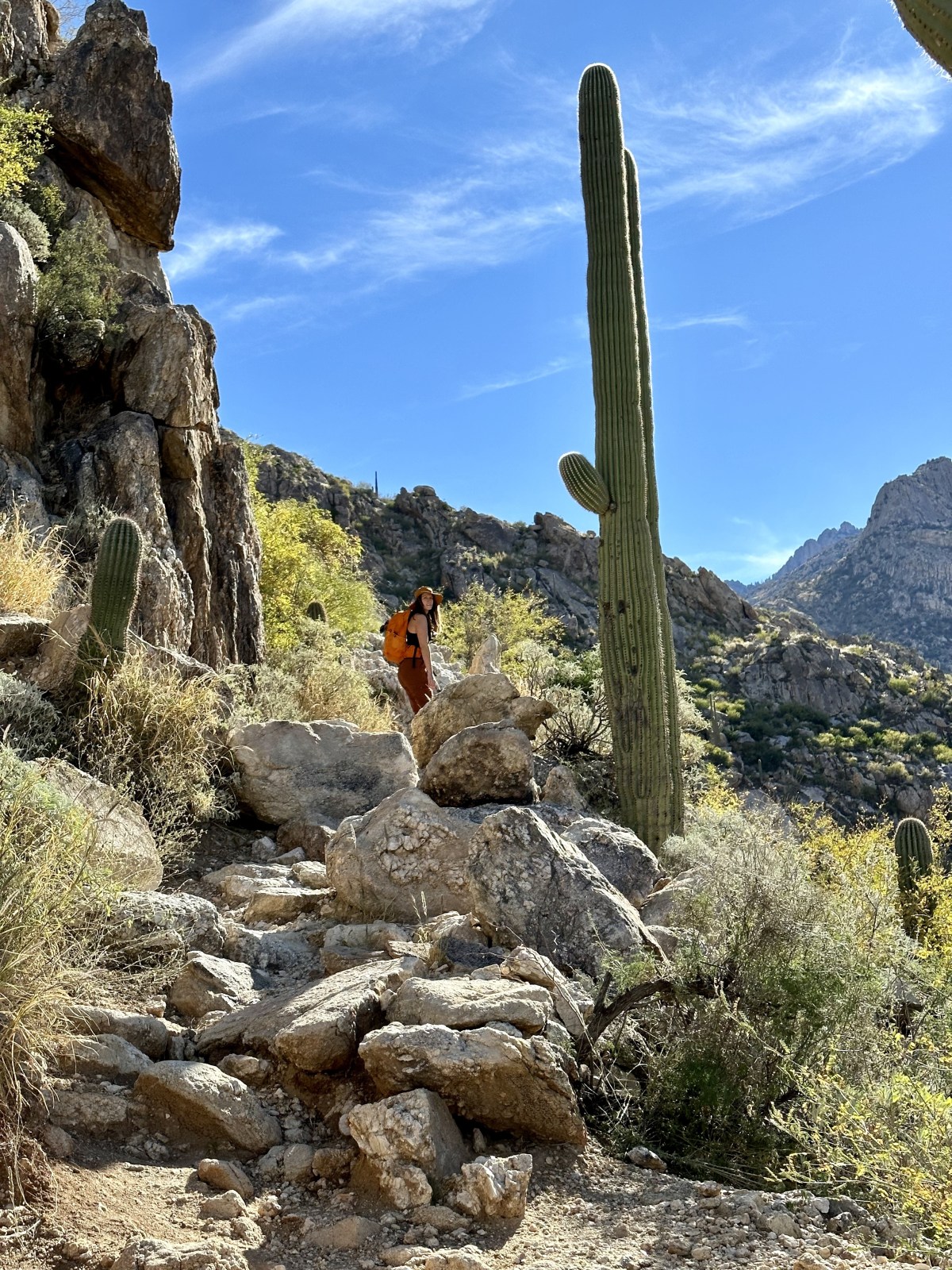
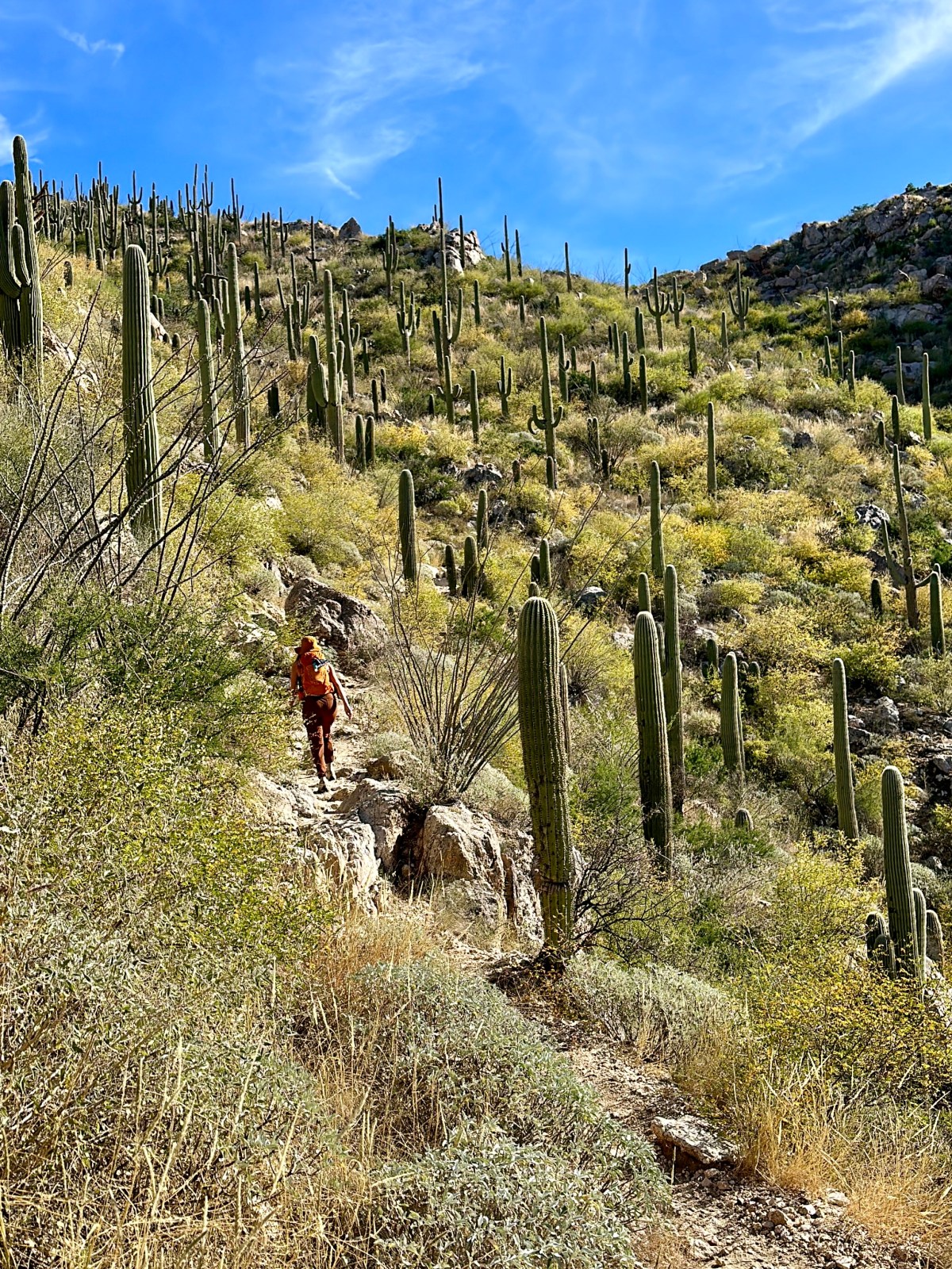
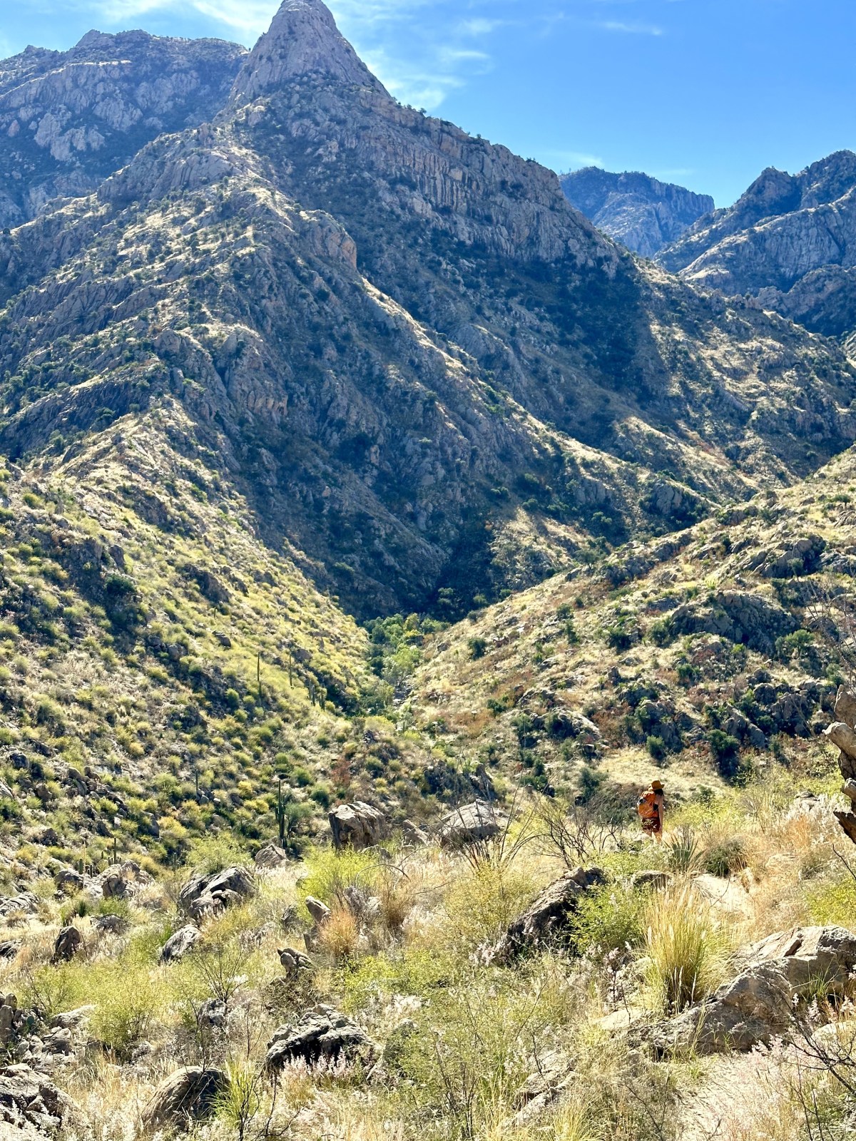
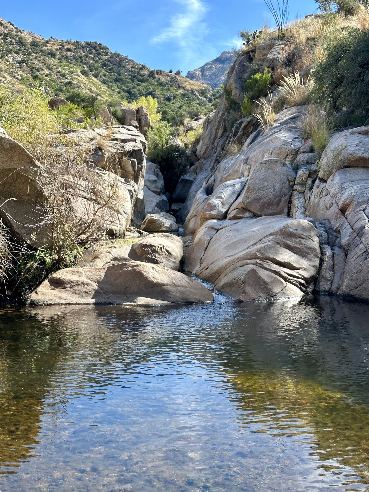
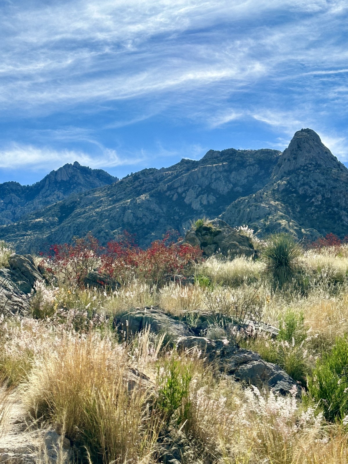
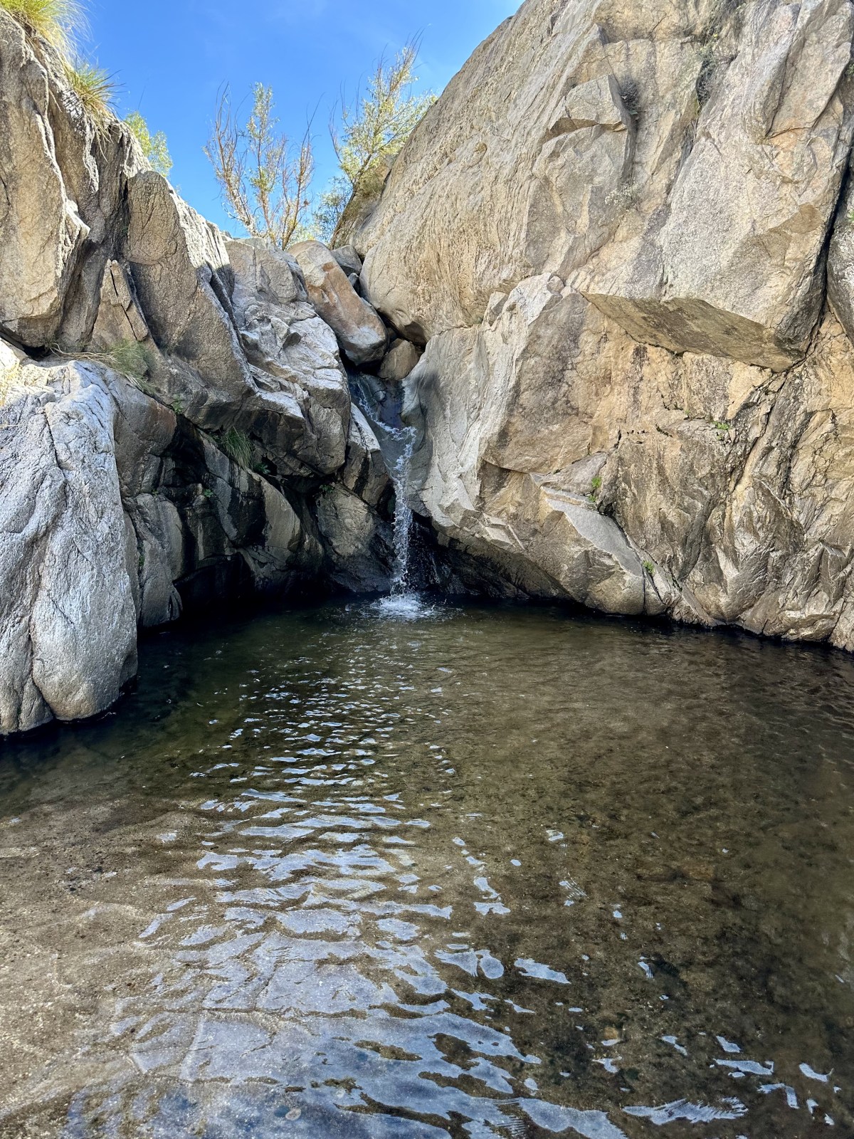
Romero Canyon Trail to Romero Pools
The hike to Romero Pools perfectly captures the beauty of the Santa Catalina Mountains and the Tucson outdoor scene. This trail is both challenging and rewarding, leading you through towering stands of saguaro cactus, up into rugged mountain terrain, and finally to a seasonal creek and refreshing pools. The dramatic canyon walls make you feel small against the vast landscape, and it’s easy to forget that the city is only a short drive away.
For more adventures nearby, don’t miss our full Tucson hiking guide with the best trails, places to explore, and tips for visiting the area.
Quick Stats:
Length:
6.1 miles
Route Type:
Out and Back
Elevation Gain:
1,318 ft
Vaulted Toilets:
Yes
Dog Friendly:
No
Fee:
Yes, $7/vehicle or AZ State Parks Pass
Difficulty:
Hard
Water:
No water at trailhead
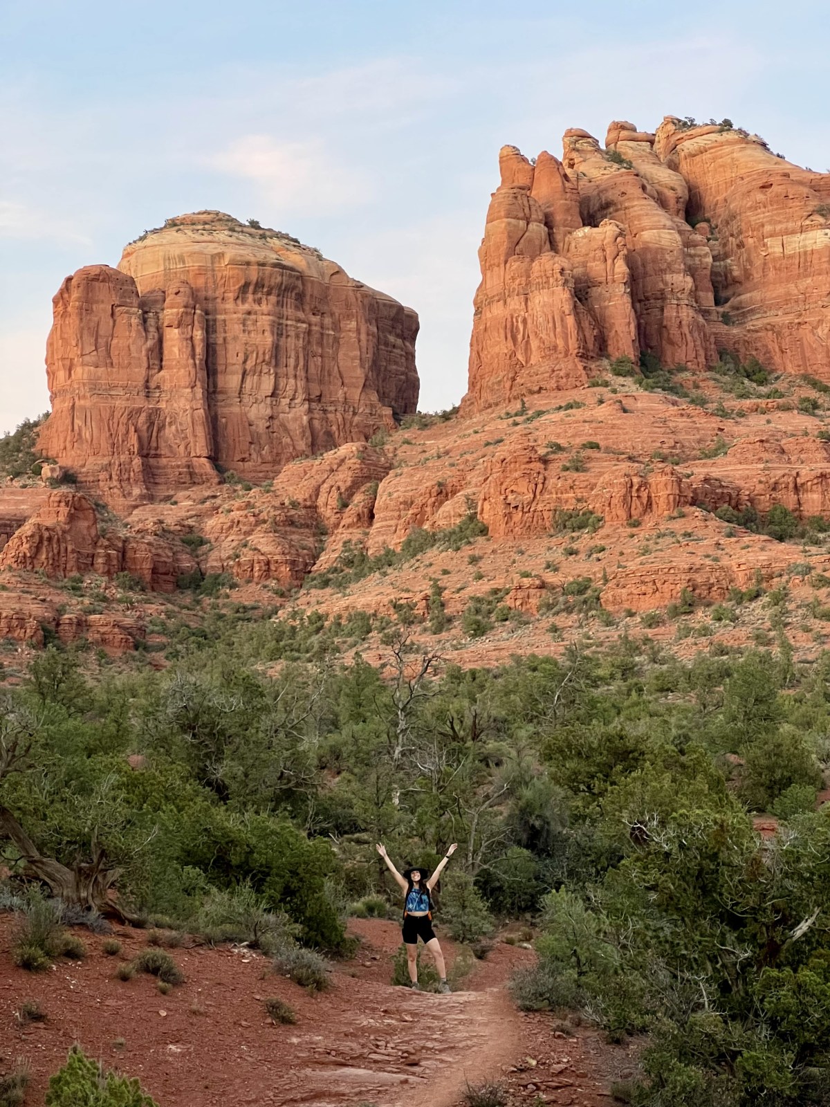
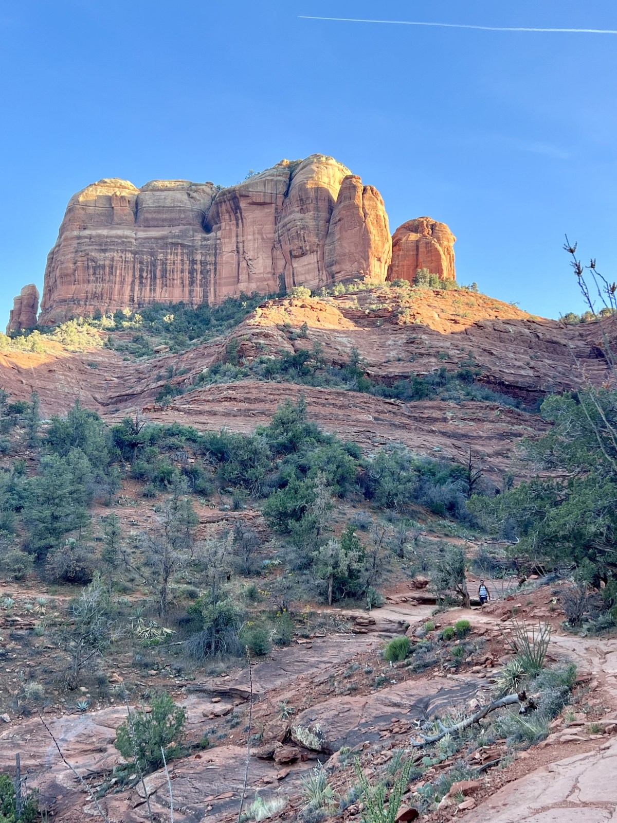
Baldwin Loop
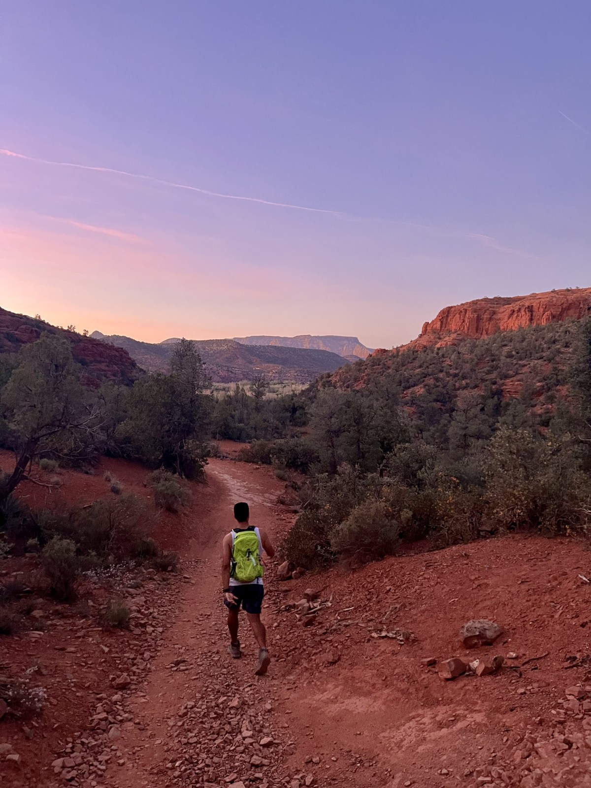
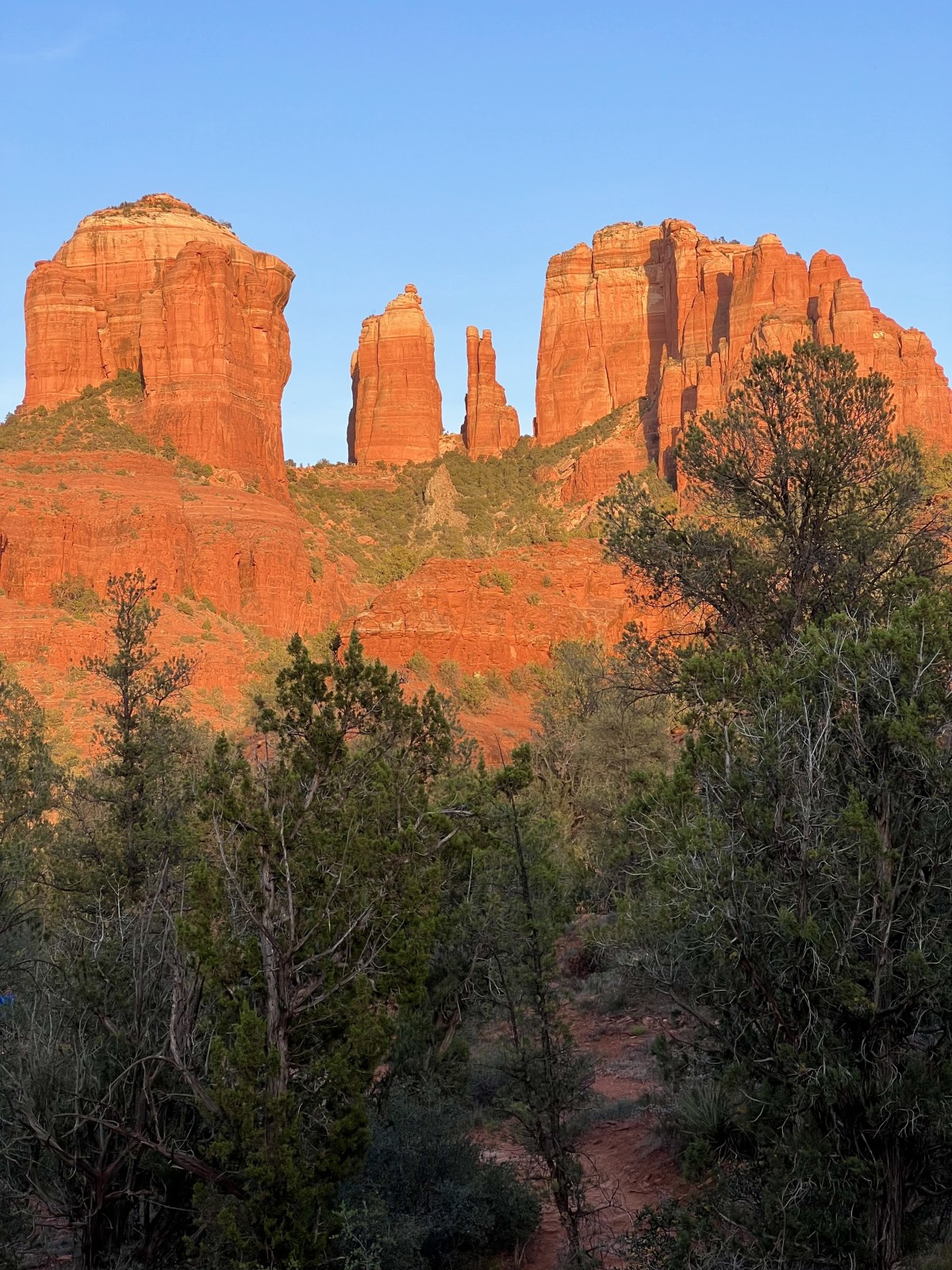
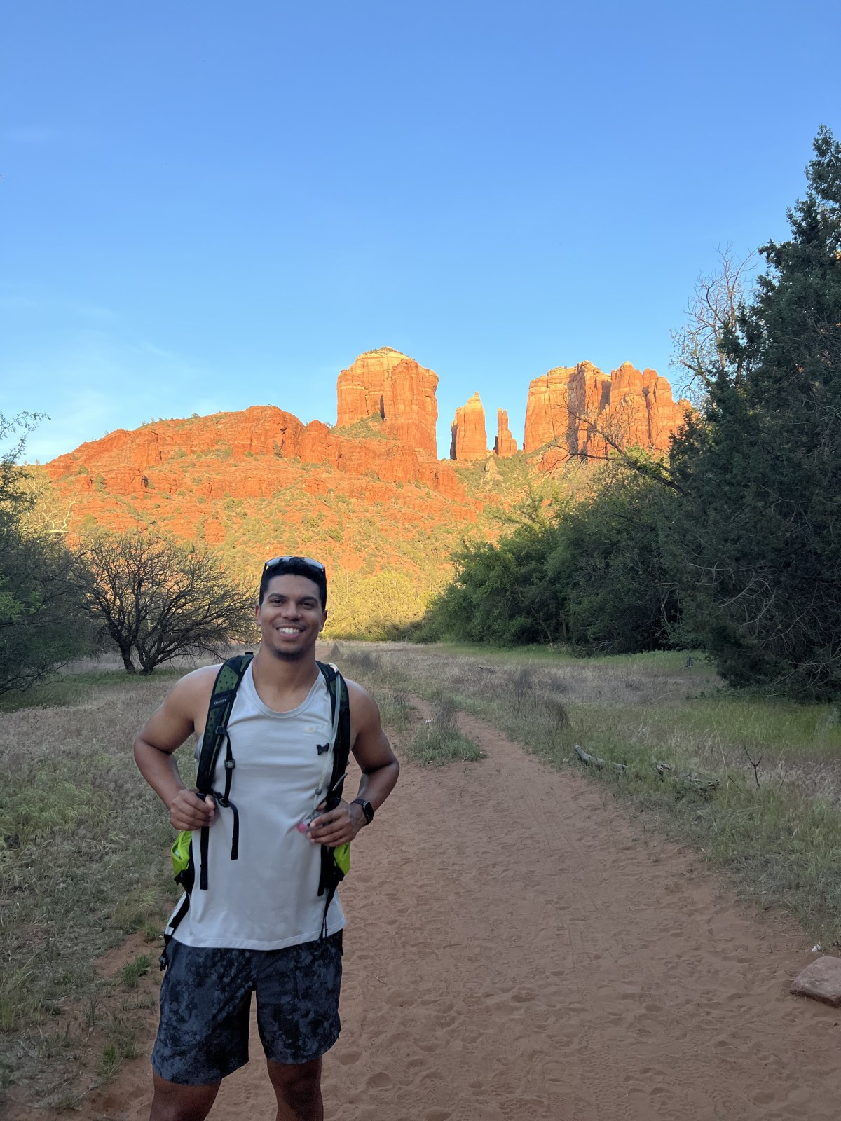
Sedona is world-famous for its red rock scenery, and it’s hard to find a bad hike in the area. The Baldwin Loop is one of our favorites because it’s a little outside the main hiking corridor and takes a bit longer to reach, which means fewer crowds. We especially love this loop in the evening—sunset gives the red rocks an incredible golden glow.
For longer hikes and even more spectacular views of Cathedral Rock, you can connect to nearby trails like Templeton and Hiline. We usually park a little farther down the road than where AllTrails suggests, which tends to be easier. Check out the Baldwin Loop on AllTrails for maps and details.
Planning a trip to Sedona? Don’t miss our full Sedona Itinerary with hikes, places to stay, dining, and everything you need to plan your trip.
Quick Stats:
Length:
3 miles
Route Type:
Out and Back
Elevation Gain:
285 ft
Vaulted Toilets:
Yes
Dog Friendly:
Yes
Fee:
Yes: Red Rock Pass or other Interagency pass
Difficulty:
Easy
Water:
No water at trailhead
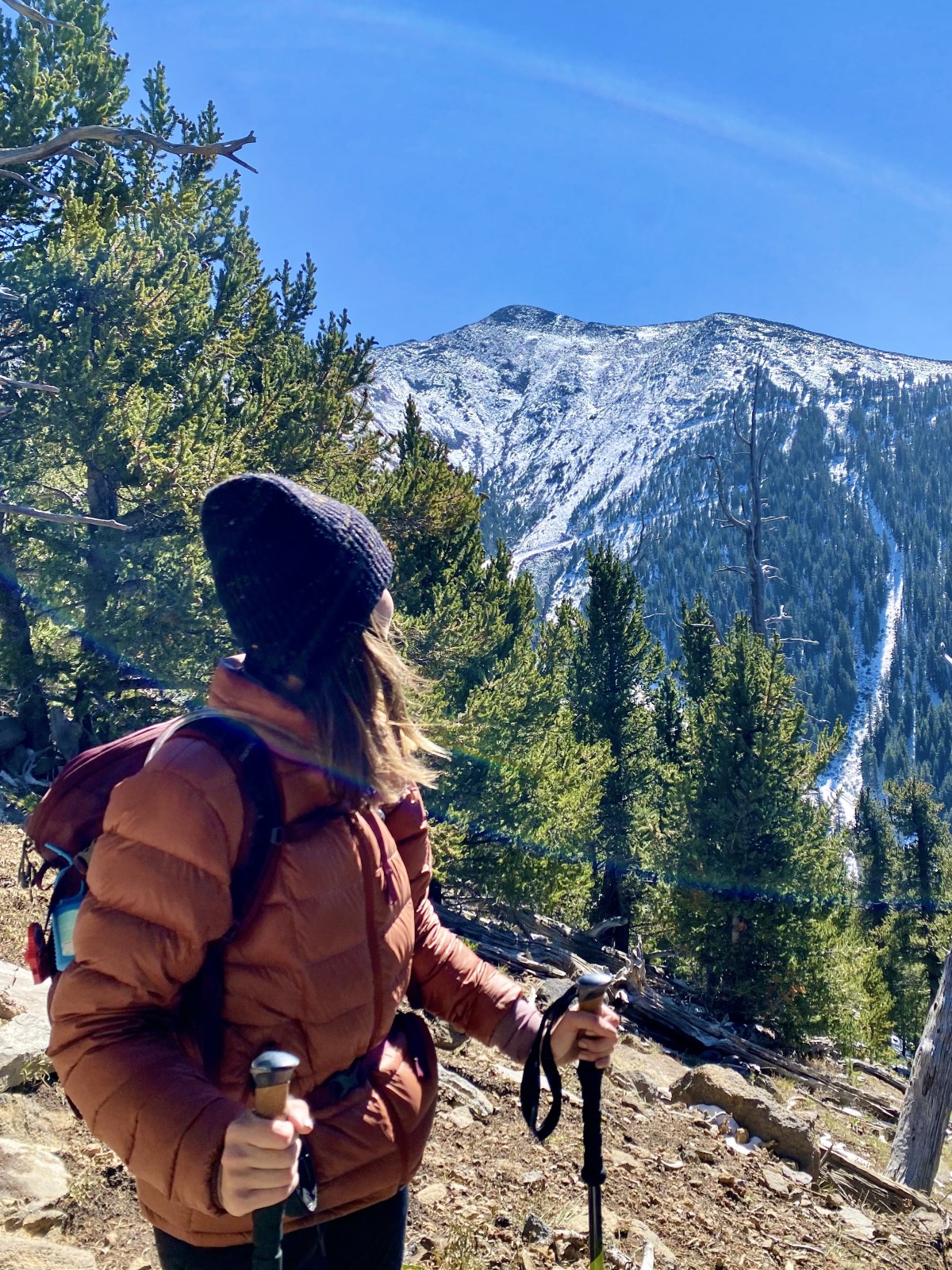
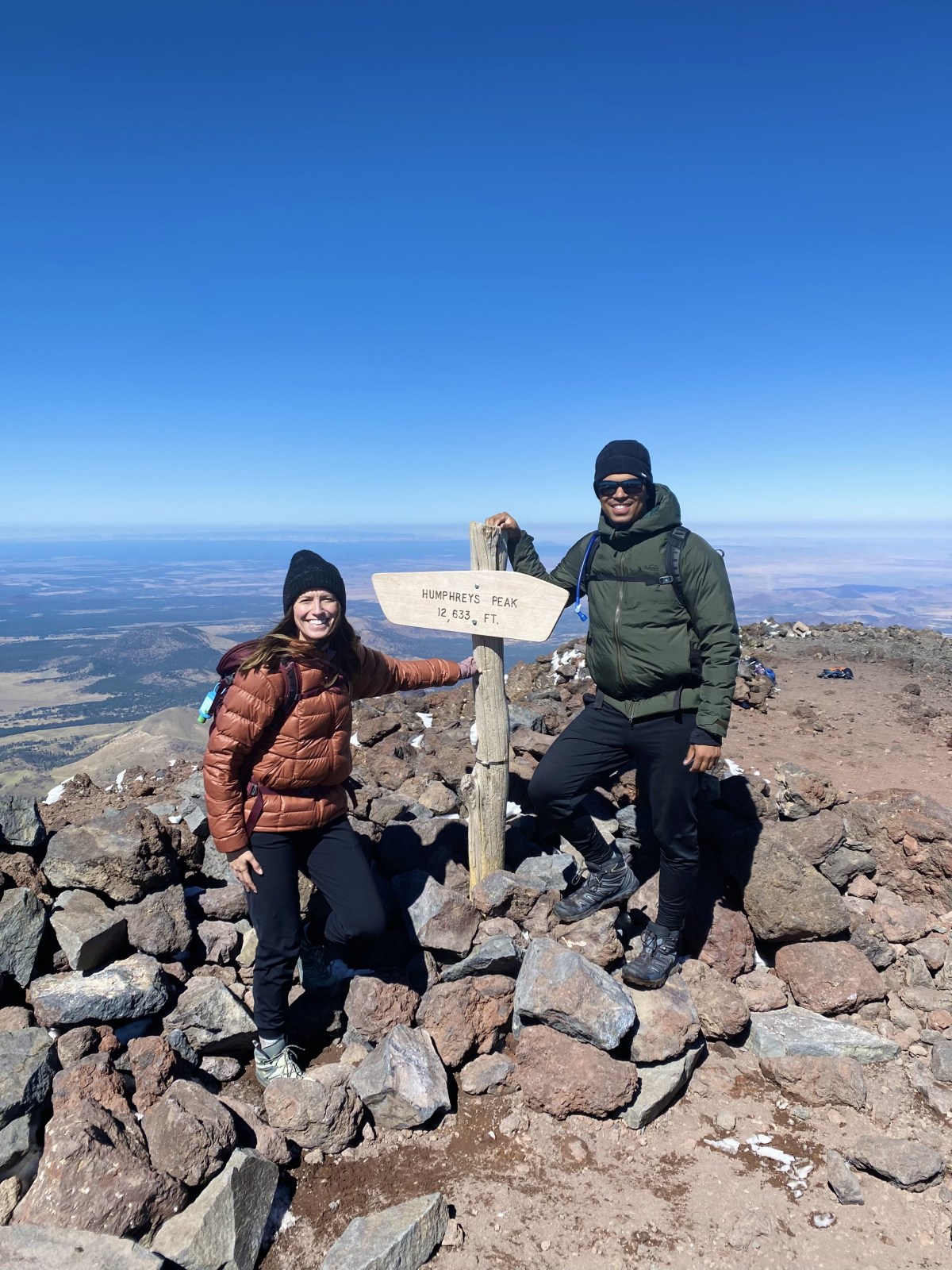
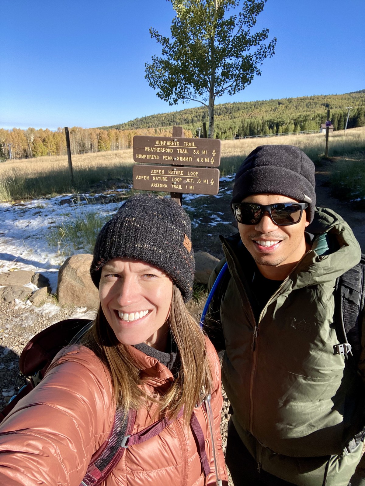
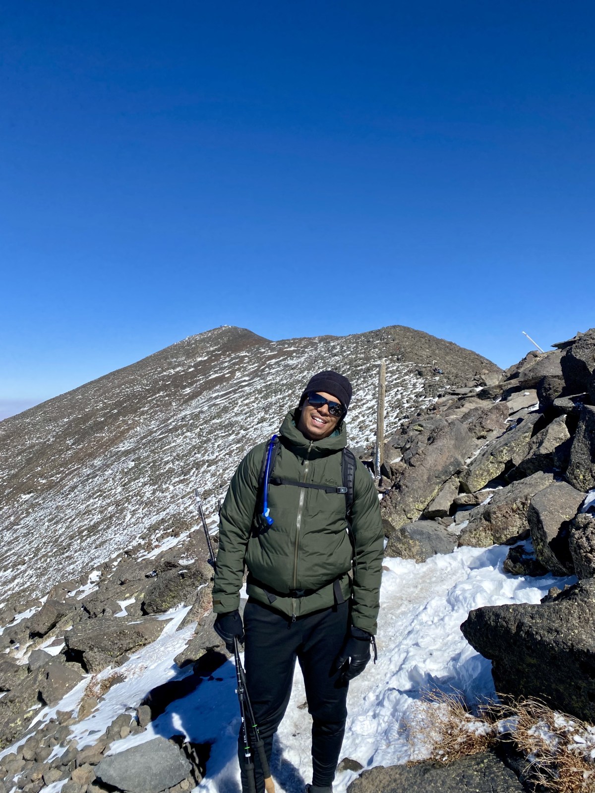
Humphreys Peak
Reaching the summit of Humphreys Peak means standing on the tallest point in Arizona at about 12,635 feet above sea level. This trail is considered challenging due to its length, steep elevation gain, and high altitude, but there’s something unforgettable about saying you’ve hiked to the state’s highest peak.
The best time to hike Humphreys Peak is from late May through June before Arizona’s summer monsoon season, and again from mid-September through early November before winter snow makes the trail difficult. Check out the Humphreys Peak Trail on AllTrails for maps, reviews, and up-to-date conditions.
For a more detailed breakdown of this hike, see our full Humphreys Peak guide, and if you’re planning a trip to the area, don’t miss our Flagstaff Guide with hikes, food, and things to do in town.
Quick Stats:
Length:
11 miles
Route Type:
Out and Back
Elevation Gain:
3,400 ft
Vaulted Toilets:
Yes
Dog Friendly:
Yes
Fee:
No
Difficulty:
Hard
Water:
No water at trailhead
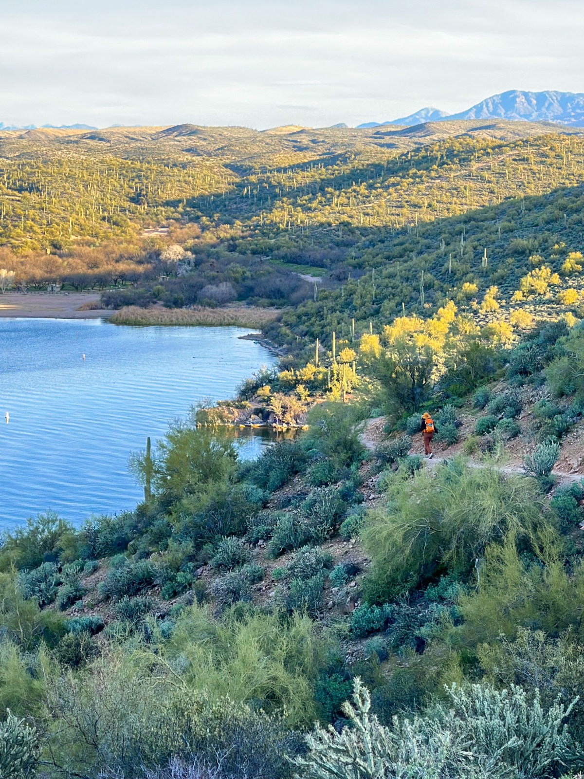
Butcher Jones
The Butcher Jones Trail showcases some of the best desert scenery in Arizona. Along the way, you’ll enjoy sweeping views of the Four Peaks, Saguaro Lake, rugged canyons carved by the Salt River, the dramatic Bulldog Cliffs, and countless towering saguaros. It’s a hike that perfectly captures the beauty of Arizona’s desert landscapes.
This trail can get quite busy during peak hiking season, so we recommend starting early in the morning or visiting on a weekday to avoid crowds. The best time to hike is from late fall through spring, when the weather is cooler and more enjoyable. Check out the Butcher Jones Trail on AllTrails for maps and trail details.
Quick Stats:
Length:
6 miles
Route Type:
Out and Back
Elevation Gain:
640 ft
Vaulted Toilets:
Yes
Dog Friendly:
Yes
Fee:
No
Difficulty:
Moderate
Water:
No water at trailhead
Bonus
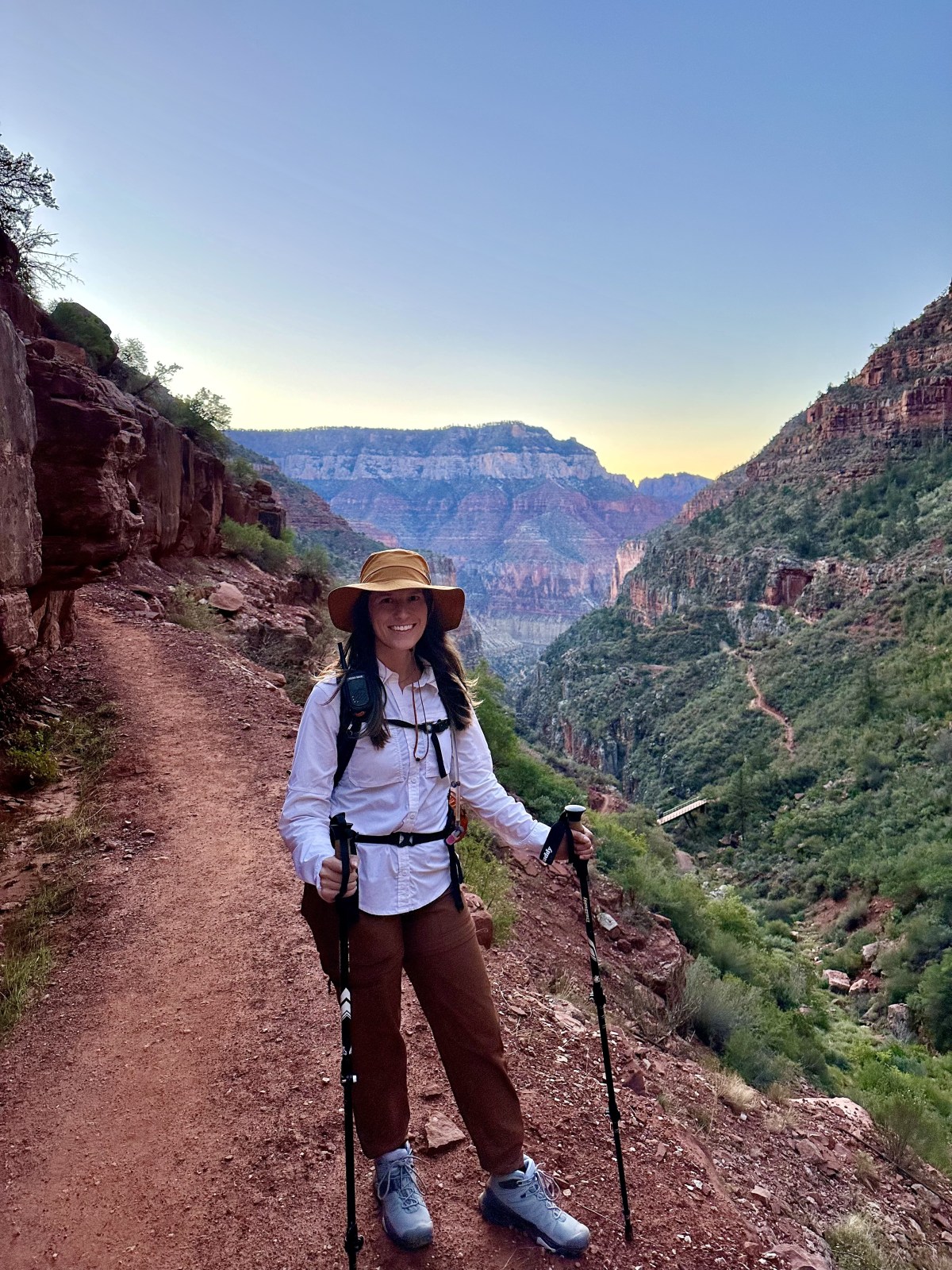
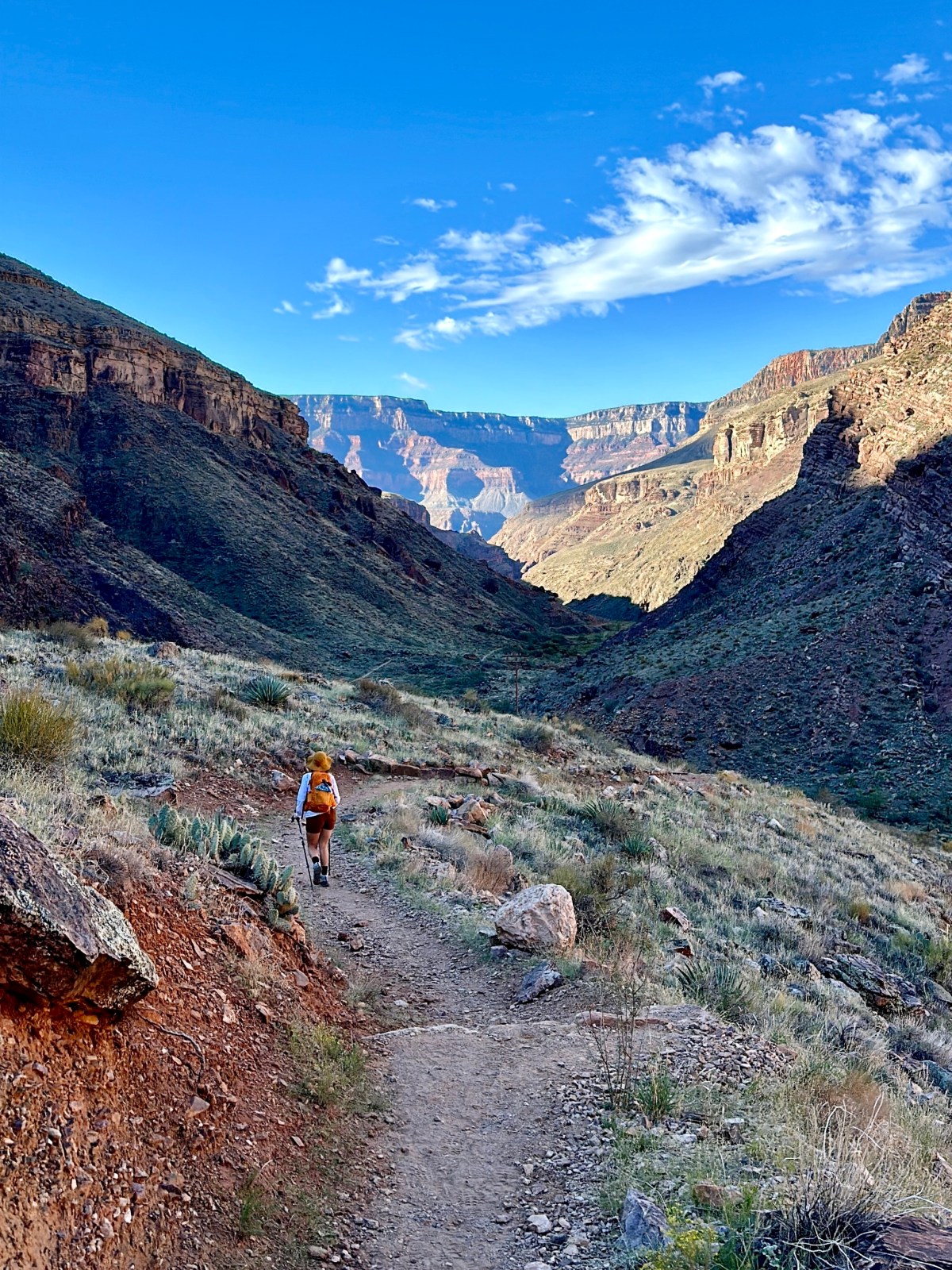
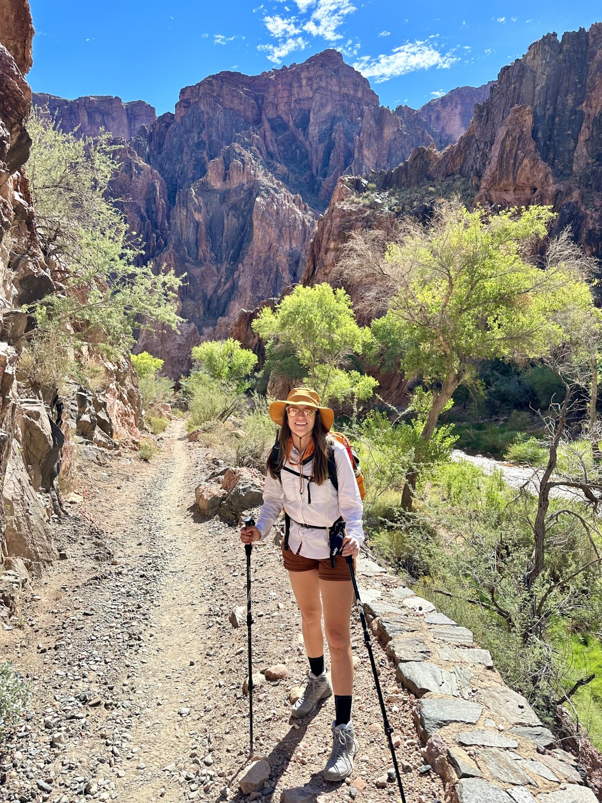
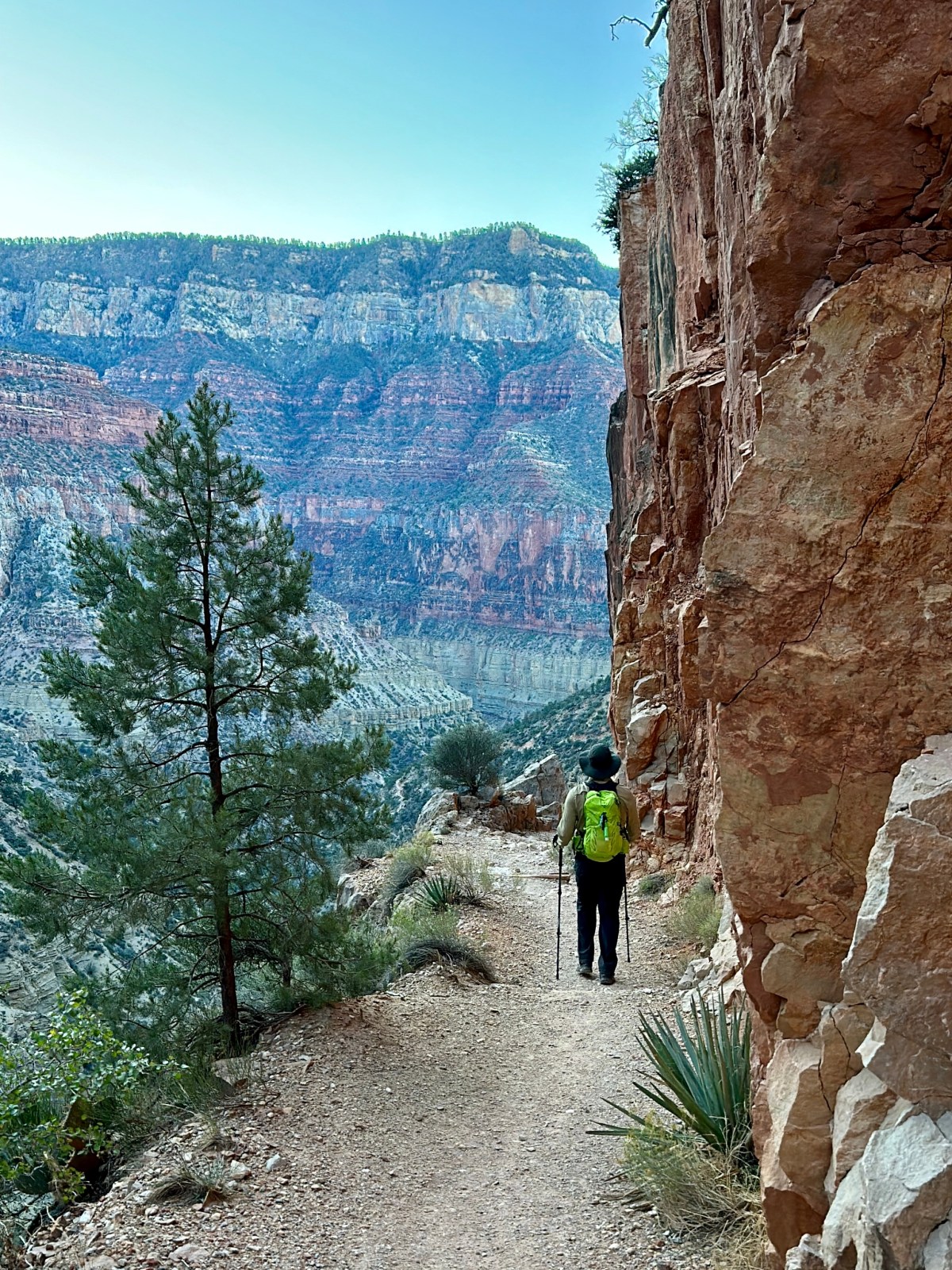
North Kaibab Trail
The North Kaibab Trail is the main route from the North Rim of the Grand Canyon down to the Colorado River, starting at over 8,000 feet above sea level. The trail descends through Roaring Springs Canyon and Bright Angel Canyon, following Bright Angel Creek toward Phantom Ranch. Along the way, there are multiple water spigots and designated campgrounds, though camping requires an advance permit from the National Park Service.
For most visitors with only a day, we don’t recommend attempting the entire trail—the climb back out is extremely strenuous. Instead, hike a portion of the trail for stunning canyon views, or save the full experience for a Rim to Rim hike. The North Rim is open seasonally, usually from May 15 through October 15. Check out the North Kaibab Trail on AllTrails for maps and details.
If you’re interested in tackling the Rim to Rim, don’t miss our full Rim to Rim hiking guide where we share how to plan and what to expect on this bucket-list adventure.
Quick Stats:
Length:
28 miles (full length)
Route Type:
Out and Back to Colorado River
Elevation Gain:
6,620 ft
Vaulted Toilets:
Yes
Dog Friendly:
No
Fee:
Yes $35/vehicle or America the Beautiful Pass
Difficulty:
Hard
Water:
Yes, and along trail
Final Thoughts on the Best Hikes in Arizona
From the red rocks of Sedona to the depths of the Grand Canyon, Arizona is filled with trails that showcase the state’s incredible variety of landscapes. Whether you’re looking for a short desert stroll, a challenging summit, or an unforgettable canyon trek, these hikes highlight why Arizona is one of the best states in the country for outdoor adventure.
If you’re planning a trip, be sure to check out our regional guides for more details on hiking in Sedona, Flagstaff, Tucson, and beyond.
Hi There!
We're Lauren and Owen -
We started The AZ Hikeaholics as a way to share our adventures with an audience that was interested. It soon grew into a community and we were all in! The more we learned about the history, geology, culture, biology etc, of the places we were exploring, the more we wanted to know.