


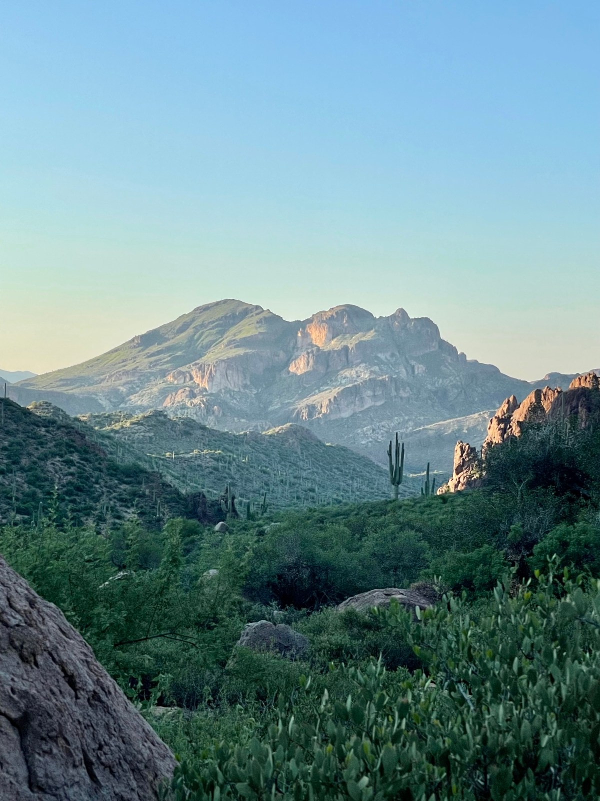


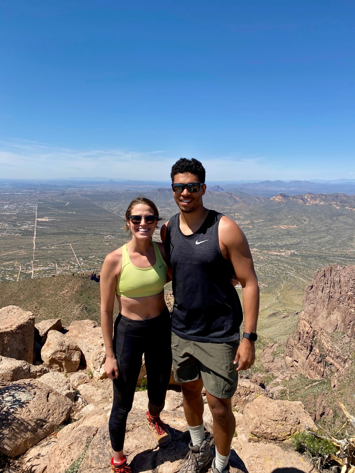


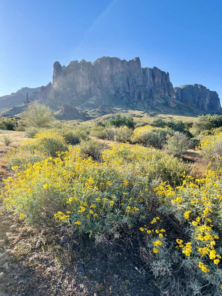
Superstition Ridgeline Trail: Superstition Mountains
The Superstition Ridgeline Trail in Tonto National Forest is an unofficial but popular 11.25-mile hike with challenging sections and stunning views. It’s mostly exposed, so be prepared for little shade and some tricky scrambles. Don’t forget your hiking poles for the descent and watch out for wildlife!
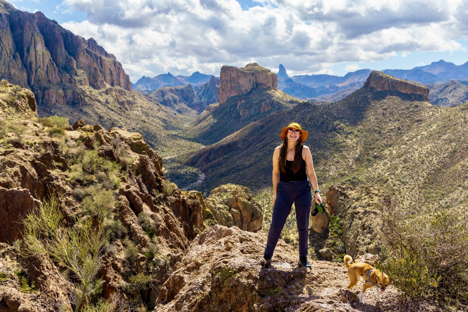
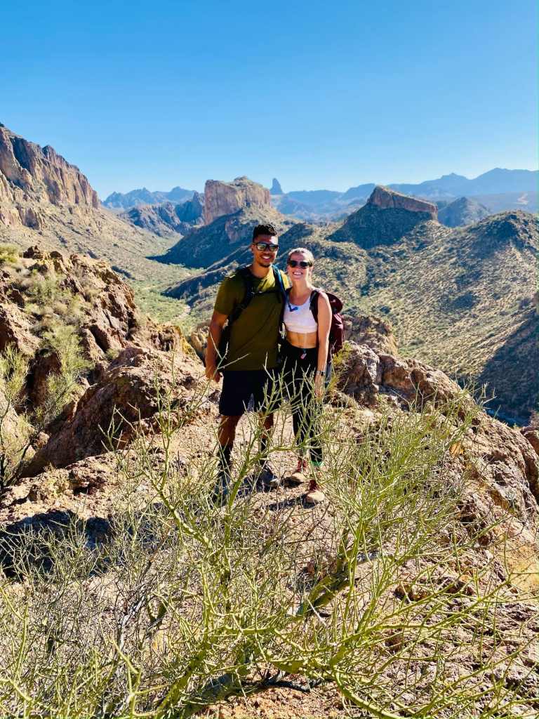
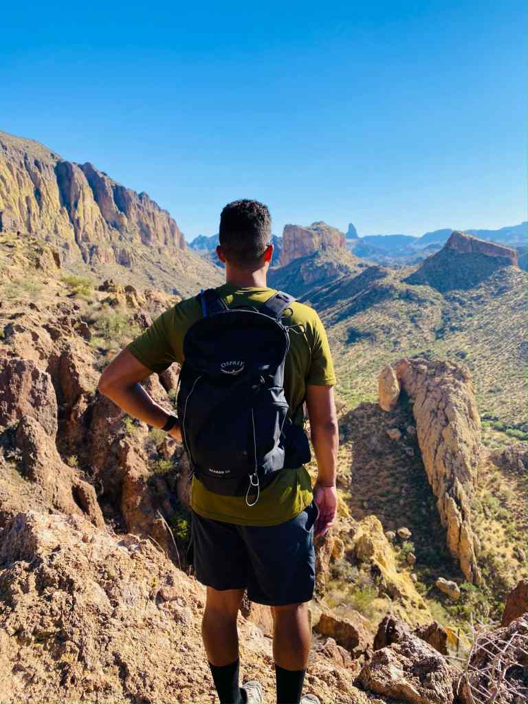
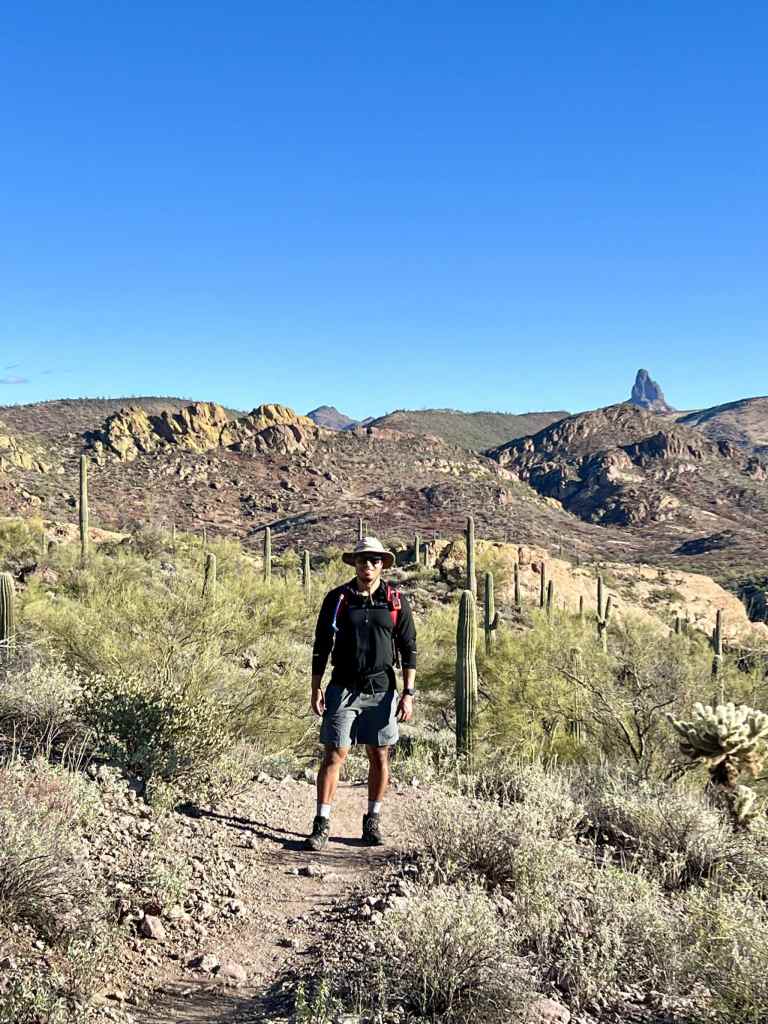
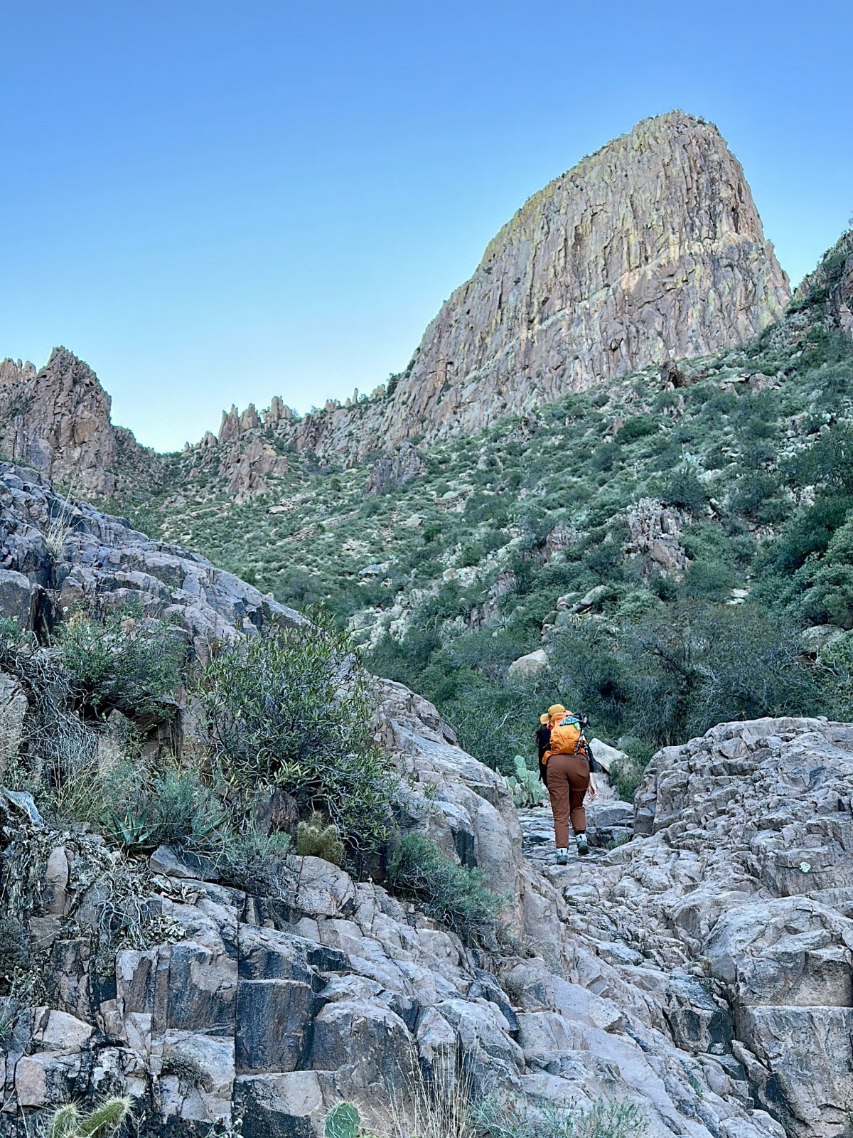
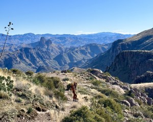
Peralta Trail to Canyon Lake: Superstition Wilderness Hike
Peralta Trail to Canyon Lake Trail across the Superstition Wilderness of Tonto National Forest is a 15 mile hike in one direction that uses multiple connecting trails. This hike is often completed as a point-to-point hike in a single day, requiring some logistical planning, or an overnight backpack camping hike. We completed the hike in a single day and below get into how we planned to hike and our experience traversing the stunning Superstition Wilderness.

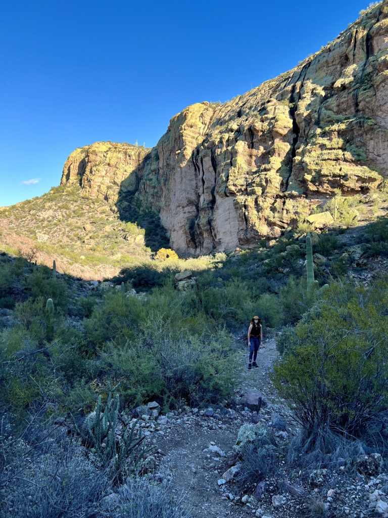
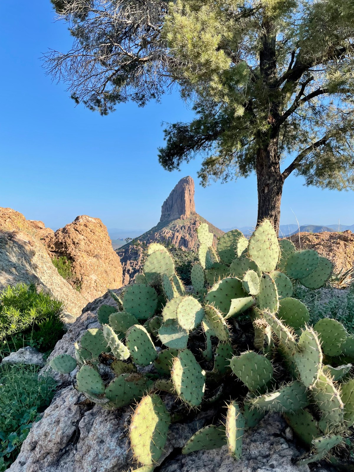
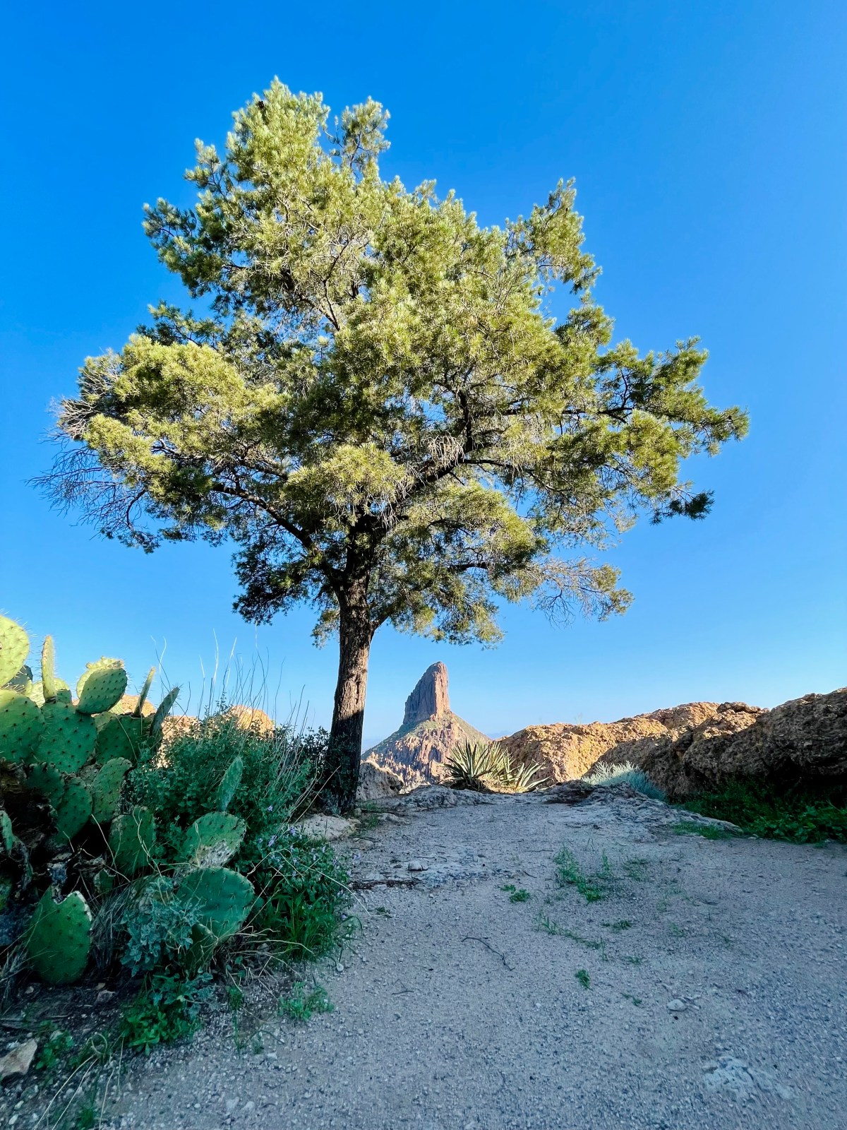
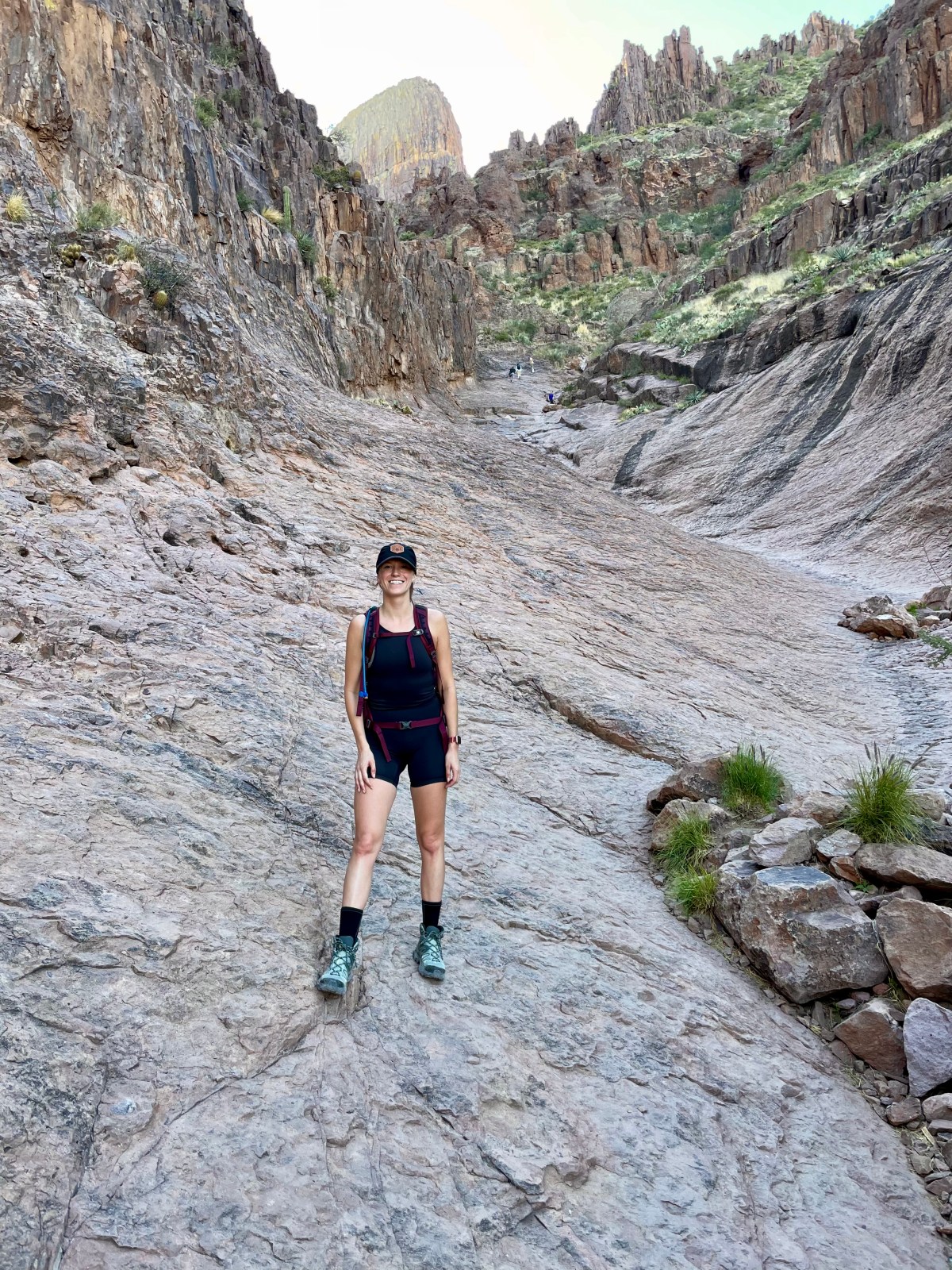
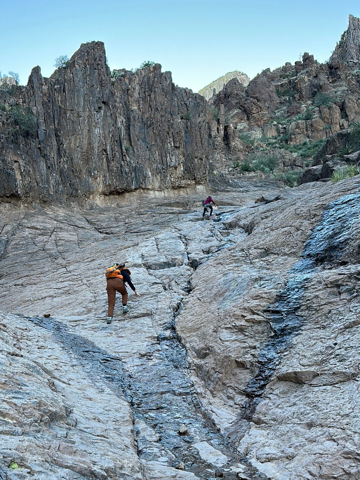
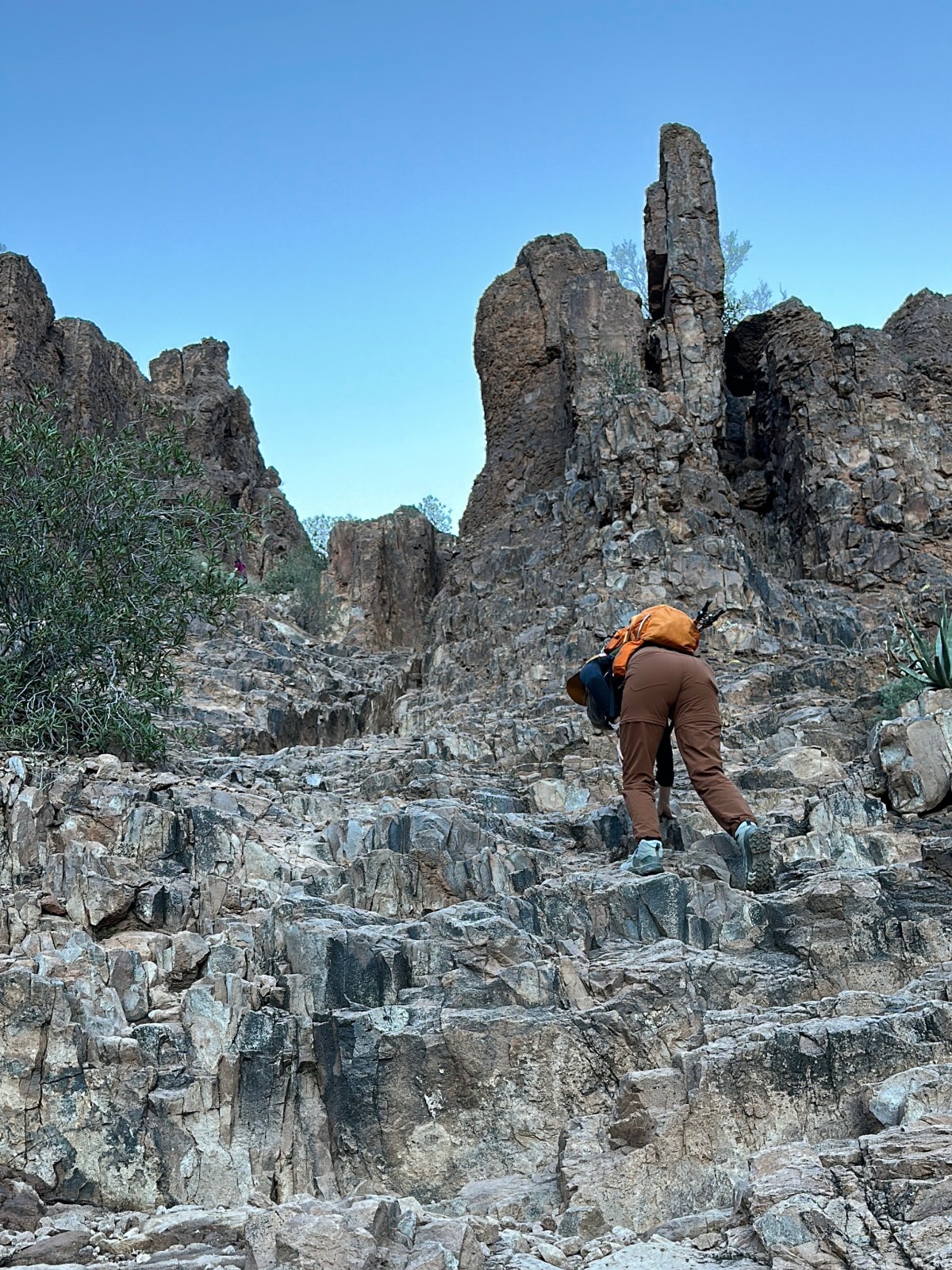
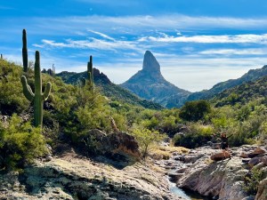
Siphon Draw to Peak 5024: Superstition Wilderness Hiking Guide
Hike Siphon Draw to Peak 5024: Superstition Wilderness Getting to Siphon Draw Trailhead The easiest and shortest route to Peak 5024 is via the Siphon

