Portal, Arizona: The Yosemite of Arizona

Portal, Arizona

Portal, Arizona

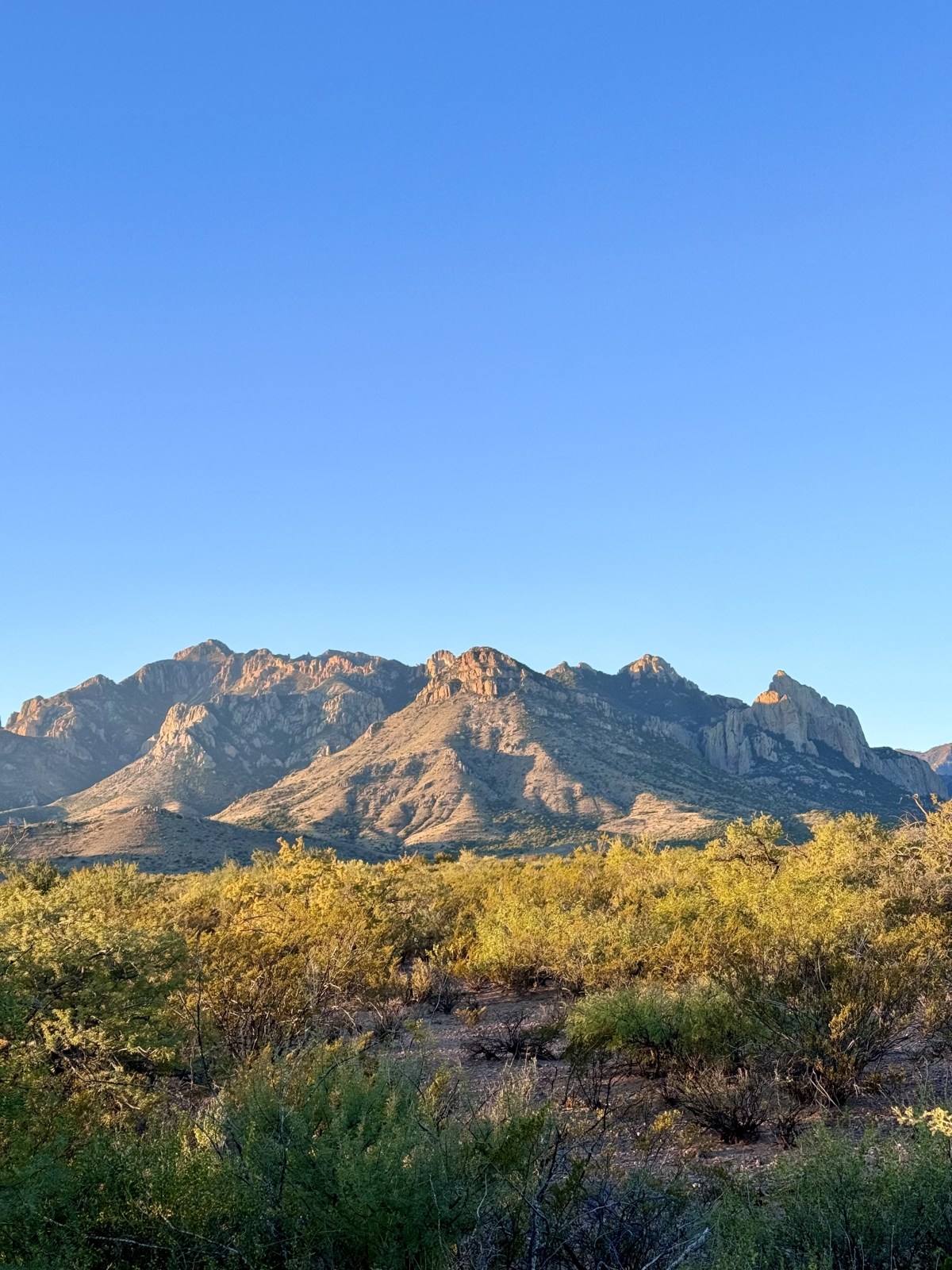
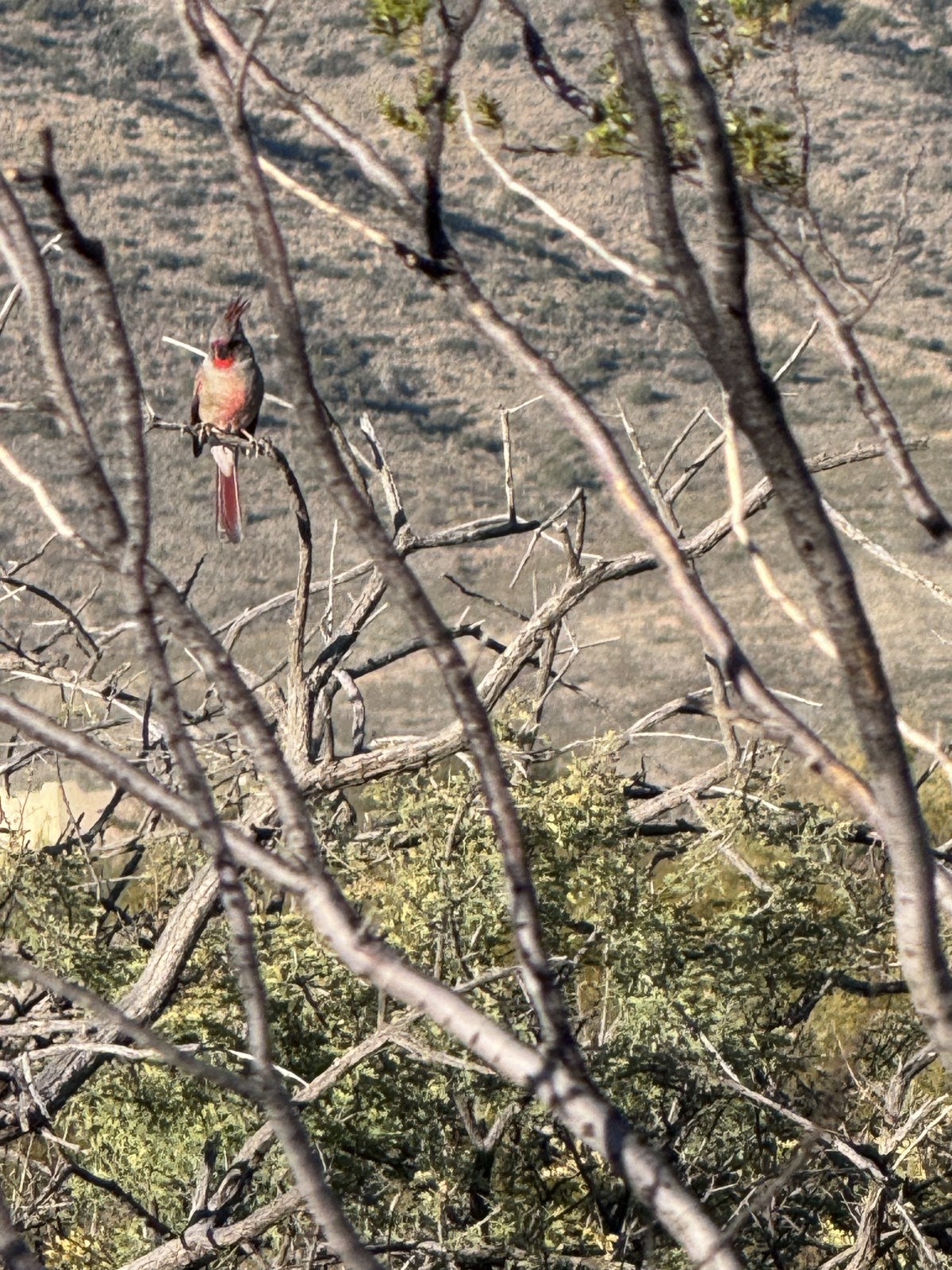
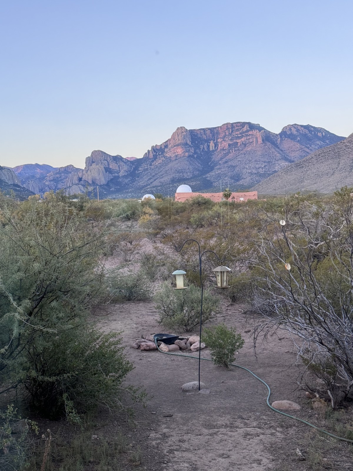
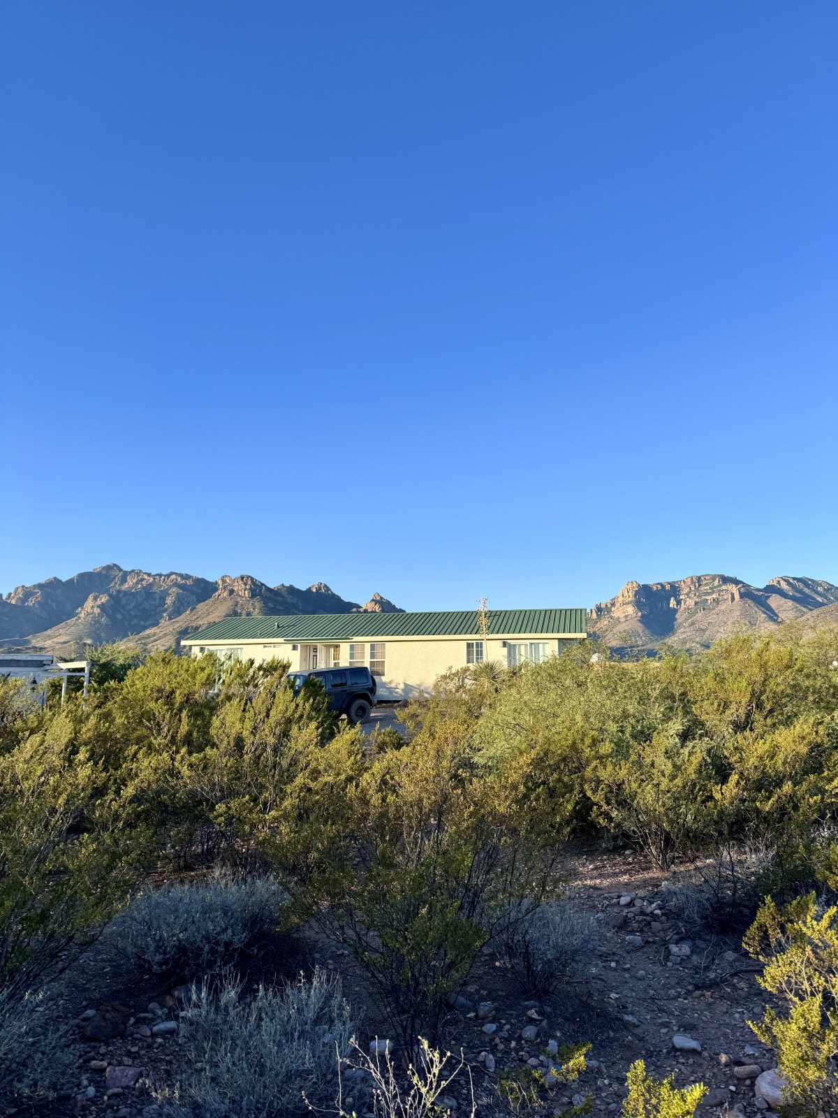
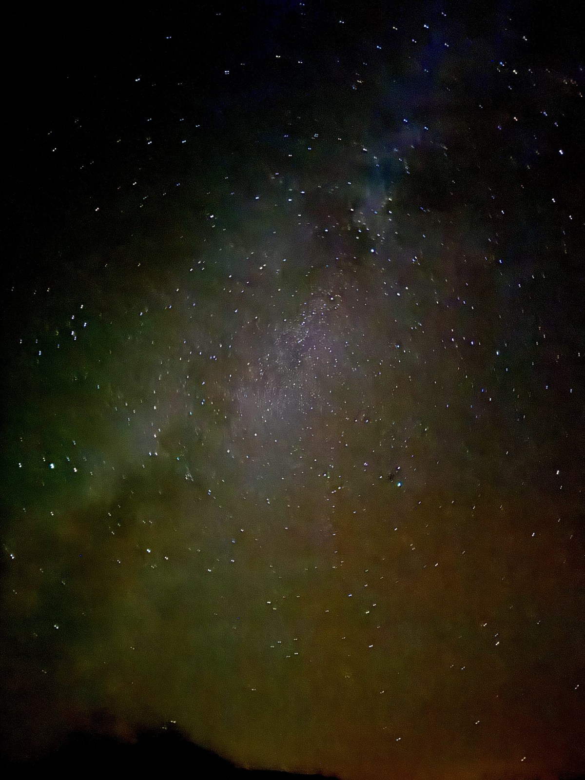
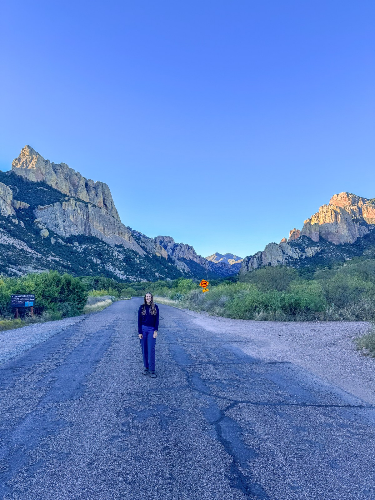
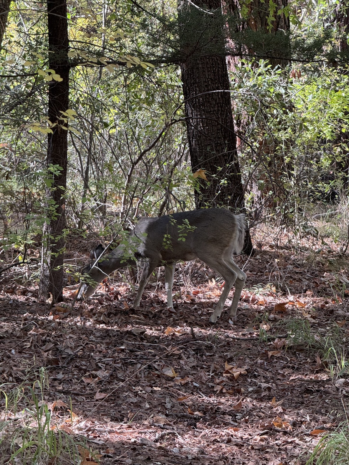
Portal is located in southeastern Arizona in Cochise County near the state line with New Mexico. The small unincorporated community sits just east of the Coronado National Forest and the Chiricahua Mountains, one of Arizona’s epic Sky Islands. In Portal you won’t find a grocery store, gas station, or many restaurant options. The quaint little community is known for its proximity to the outdoors, birding, wildlife, and epic night time skies. In fact many of the homes have their own telescope domes. Portal, Arizona sits at the entrance to Cave Creek Canyon as the eastern portal or gateway to the Chiricahuas.

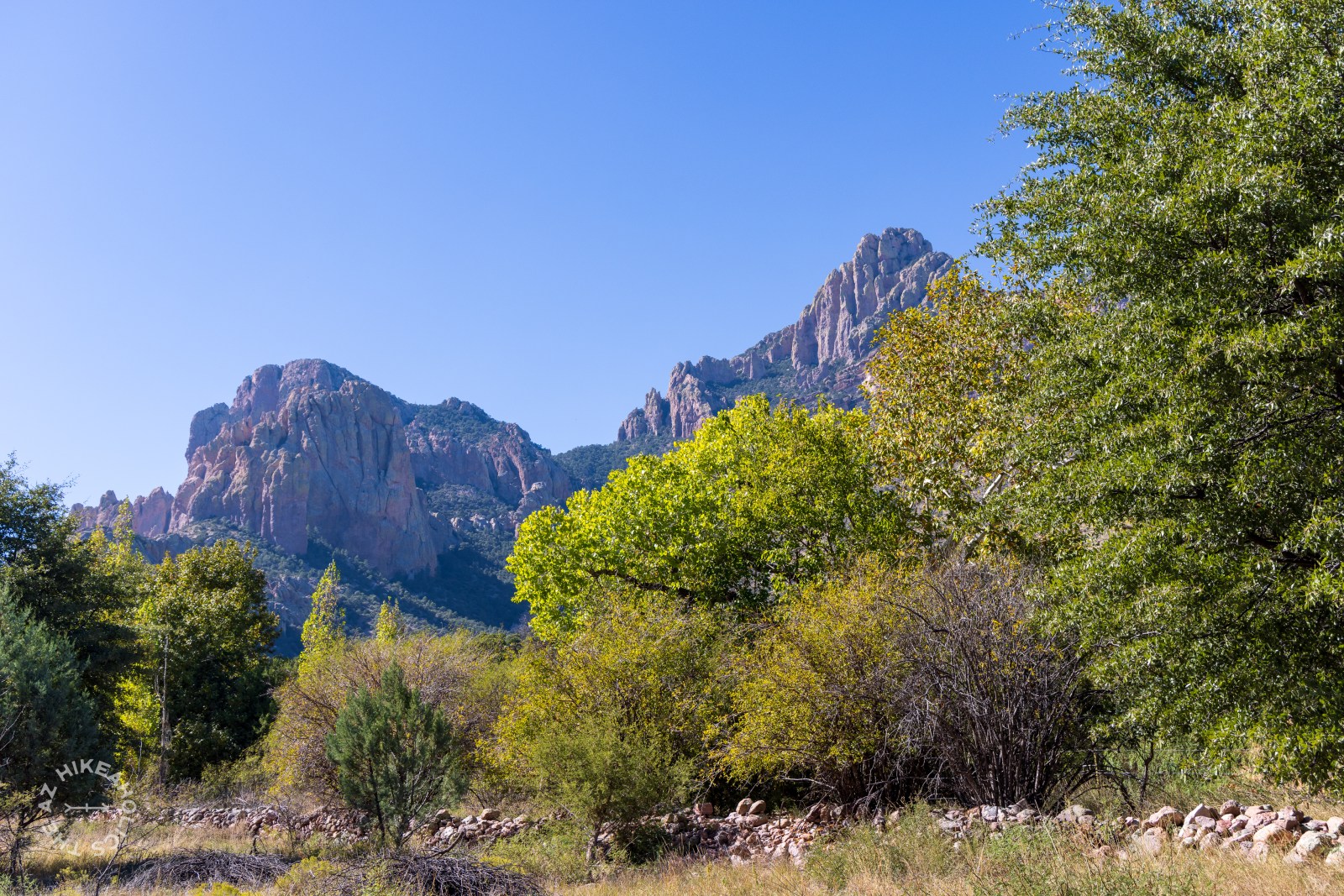
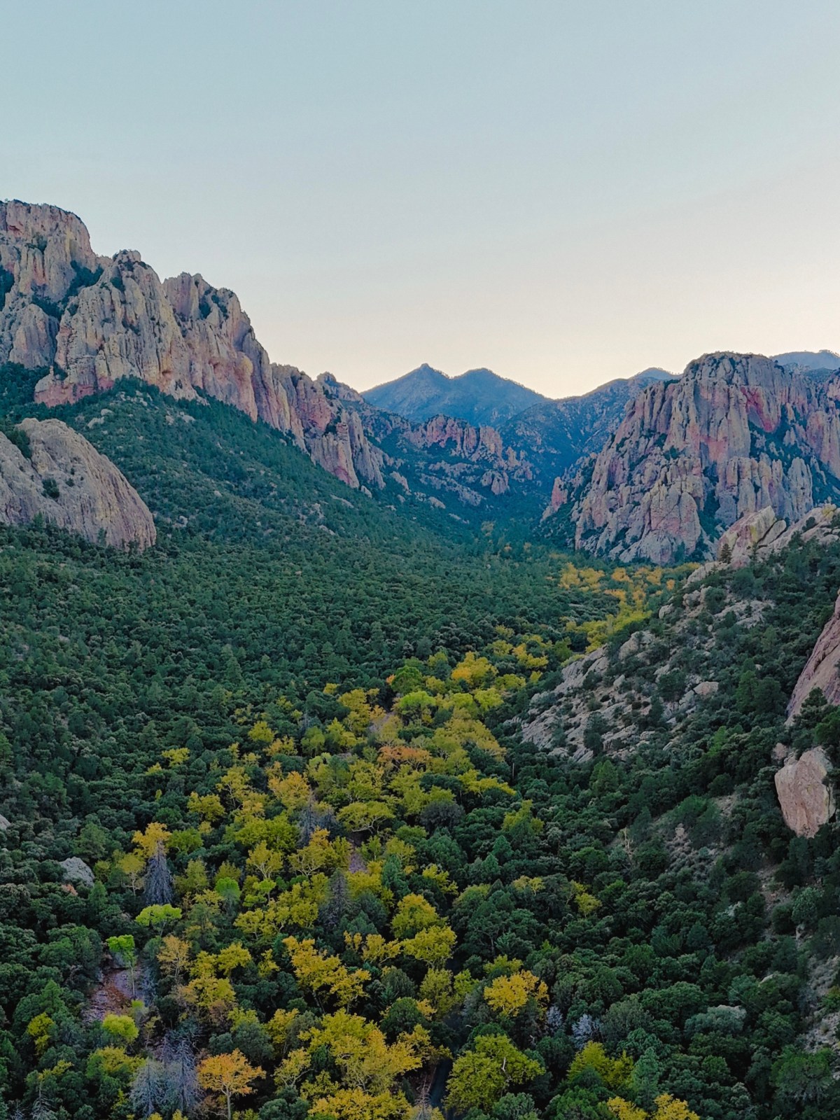
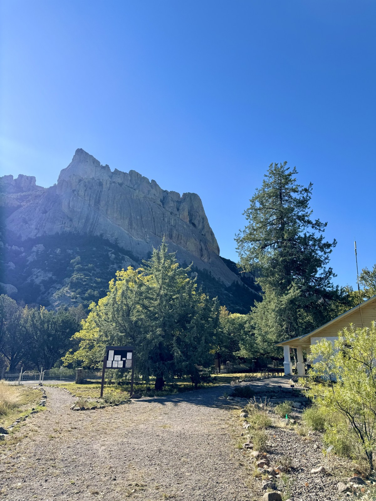
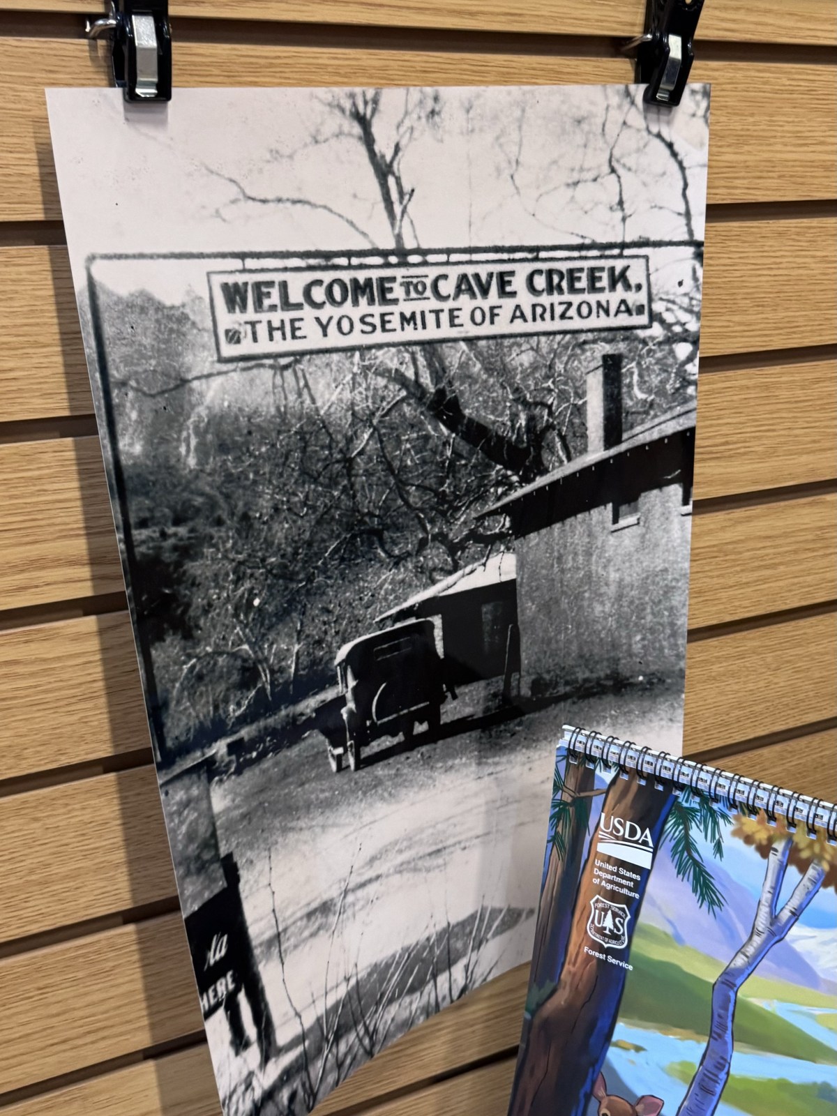
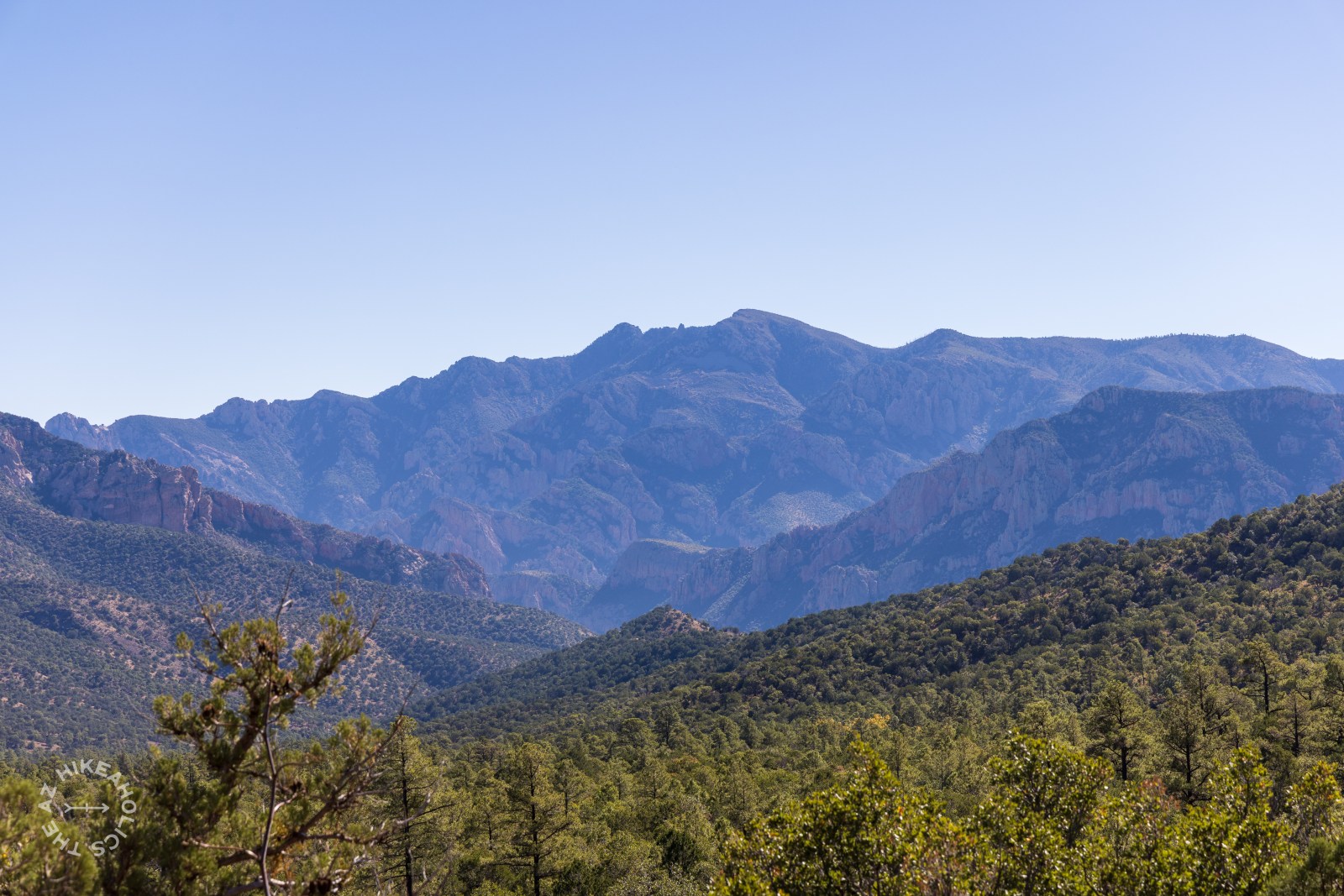
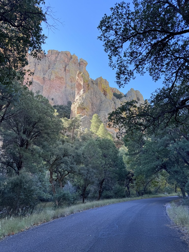
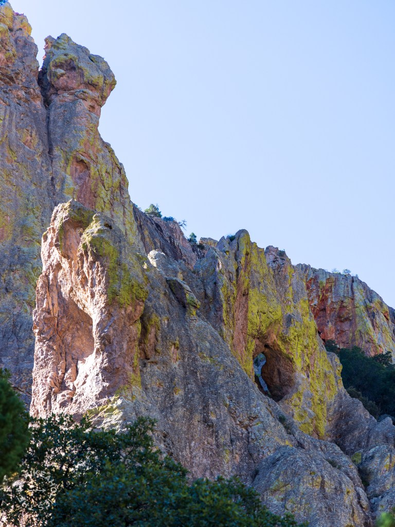
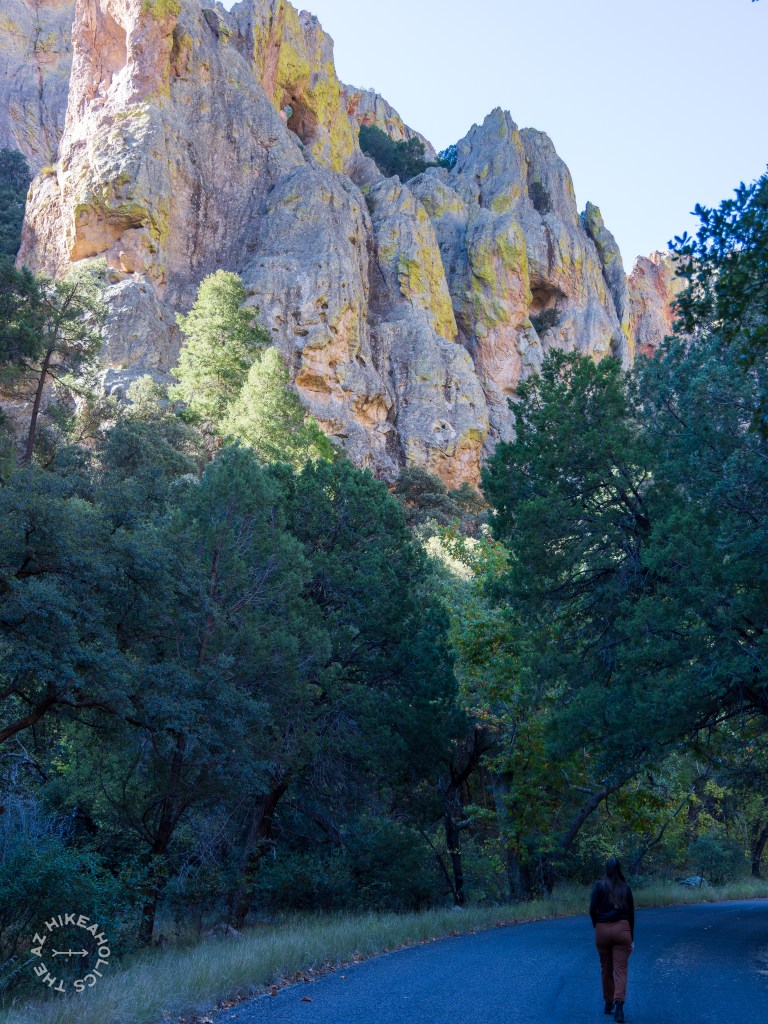
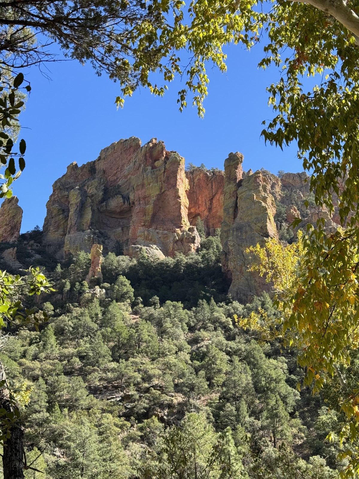
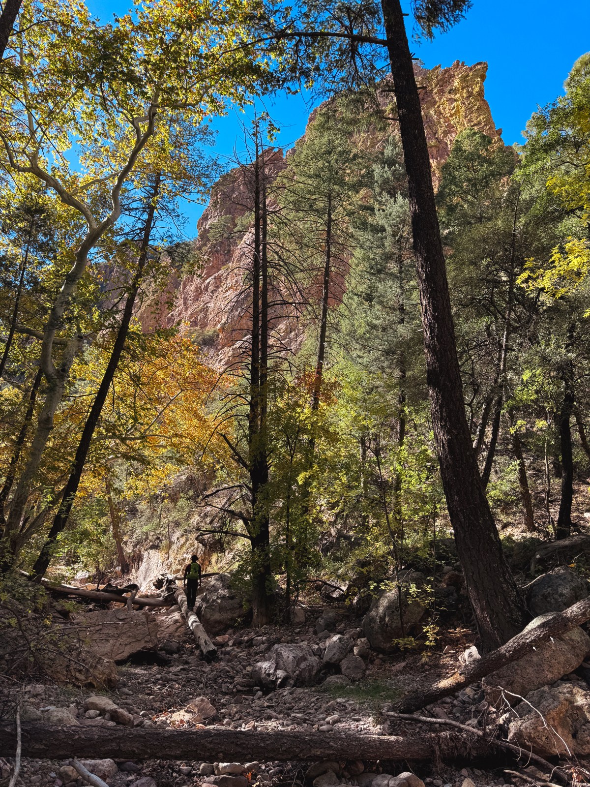
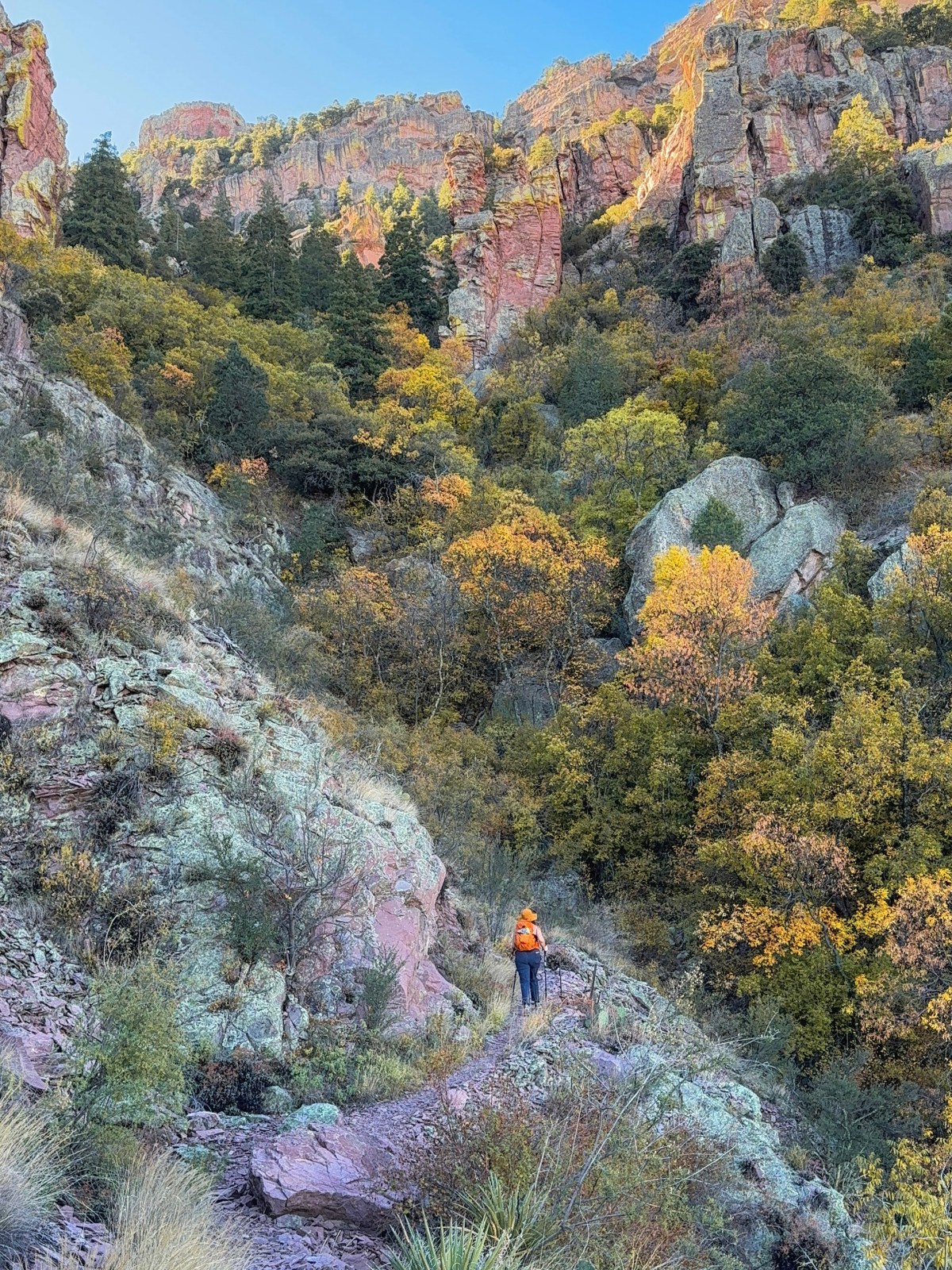
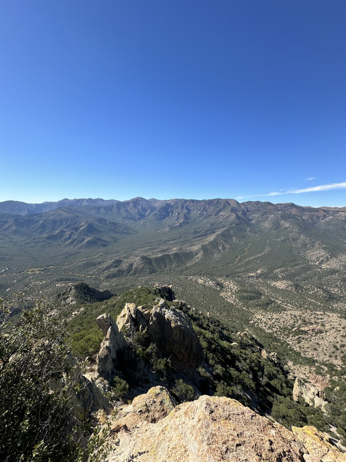
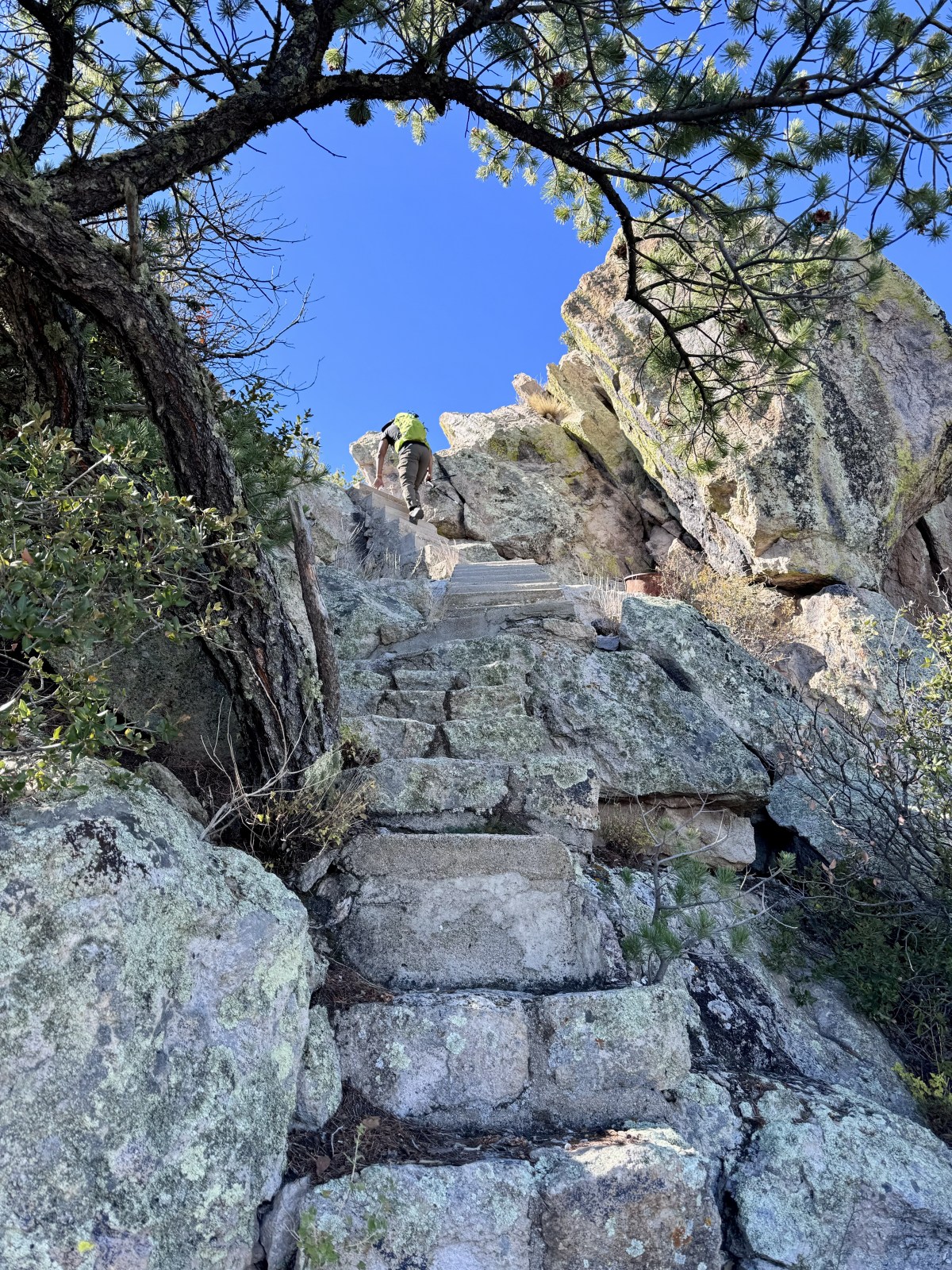
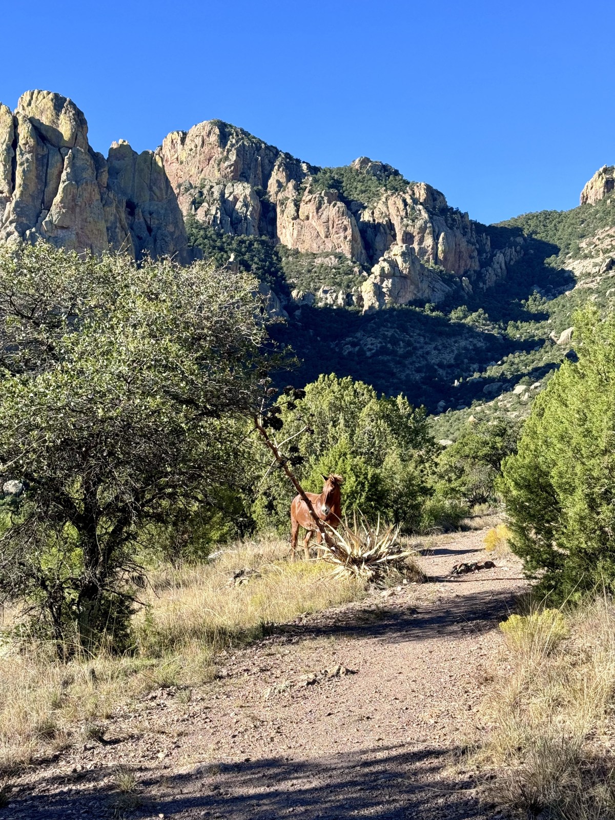
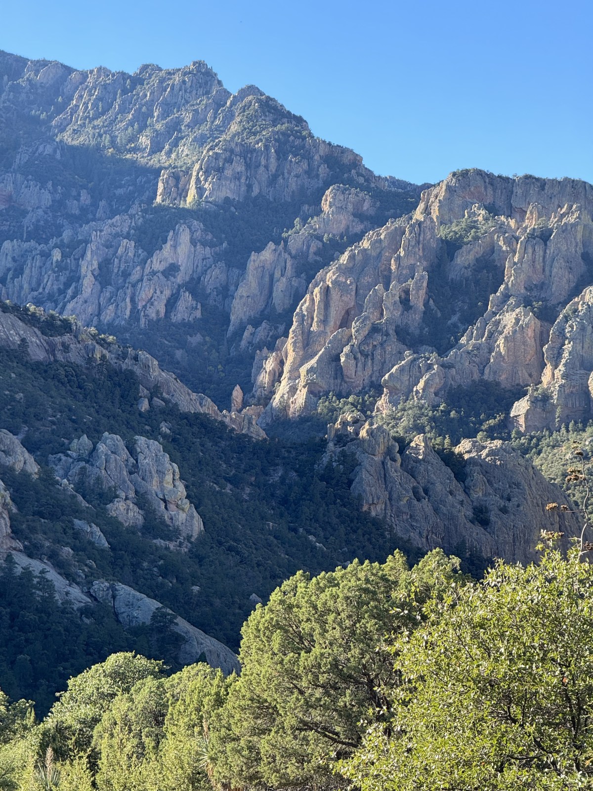
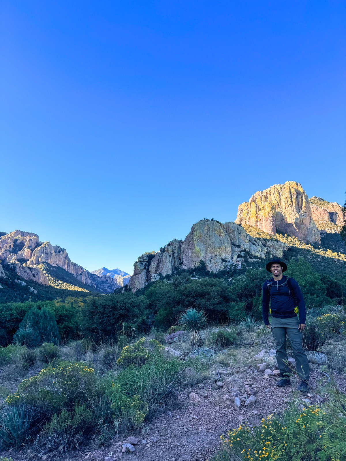
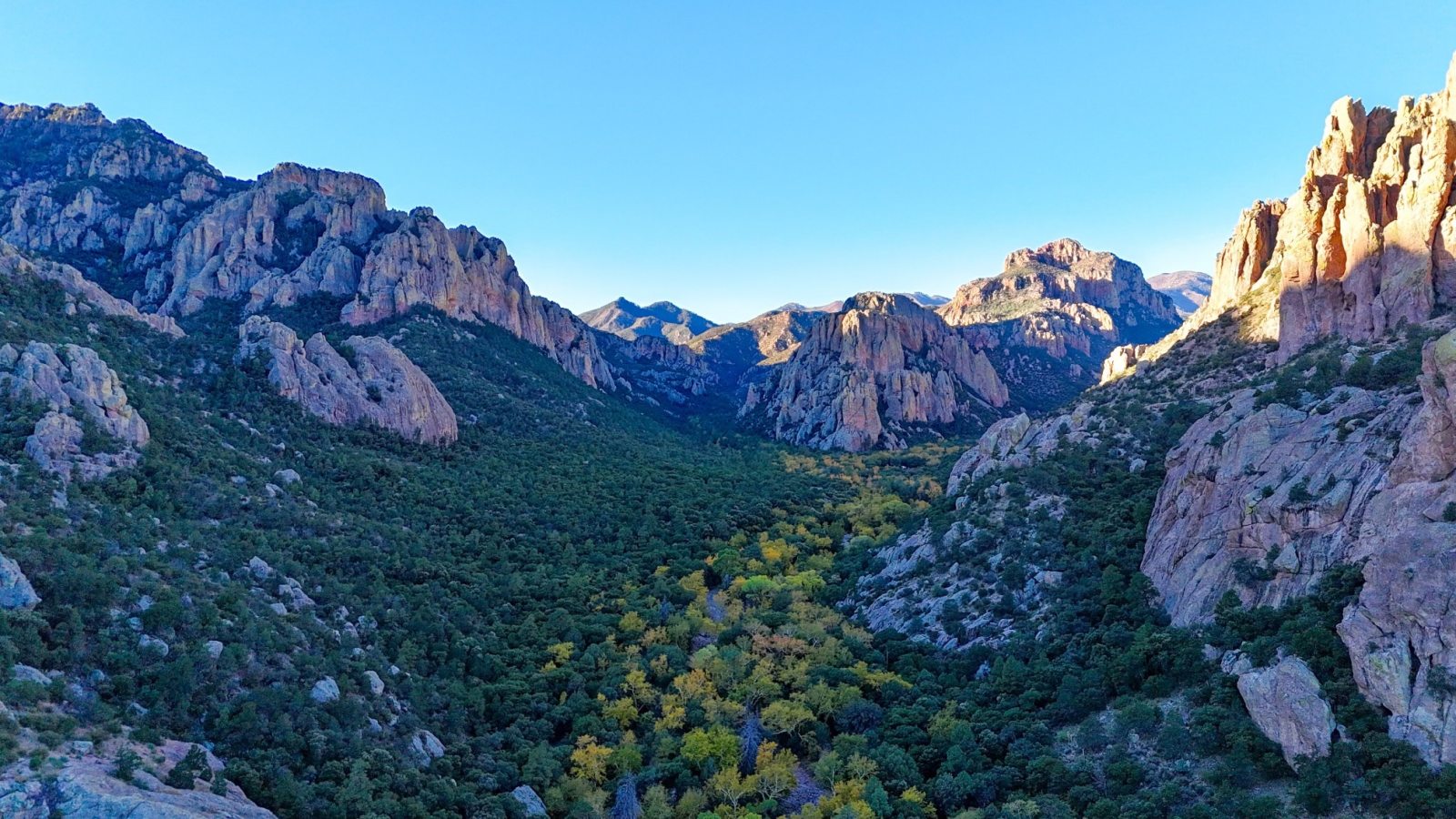
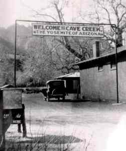
Cave Creek Canyon is sometimes referred to as the “Yosemite of Arizona” and once you’ve been in person, it’s easy to understand why. The towering rhyolite canyon walls and cliffs resemble some scenery of Yosemite, but not quite as large. This nickname goes back to the 1930s. During that decade, the Civilian Conservation Corps (CCC) worked hard in the area to build roads, trails, campgrounds, and fire lookouts. Cave Creek Canyon gets it’s name from the sheer amount of caves they’ve discovered in the canyon walls. As you drive through or walk around on trail, look to the cliffs for caves.

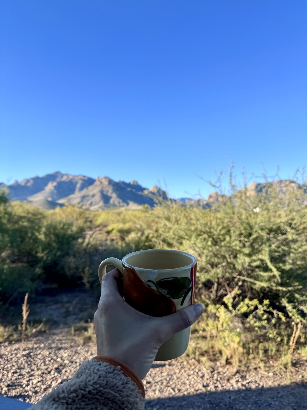
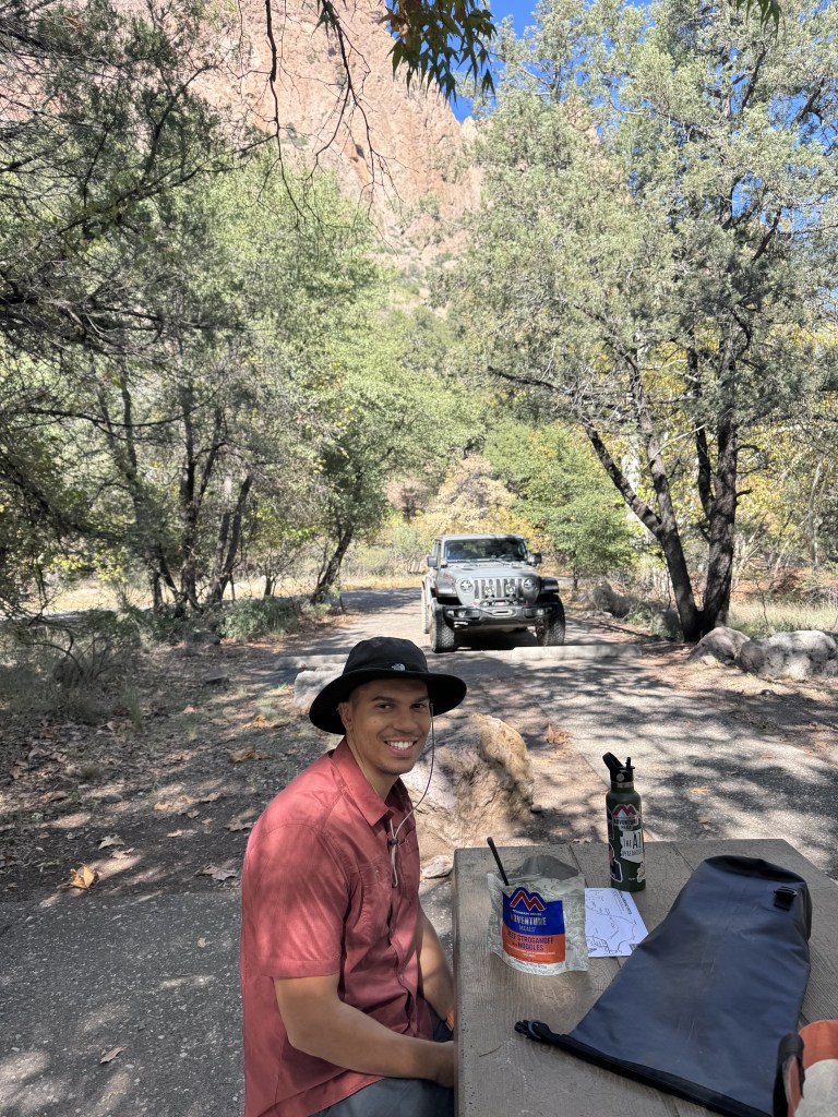
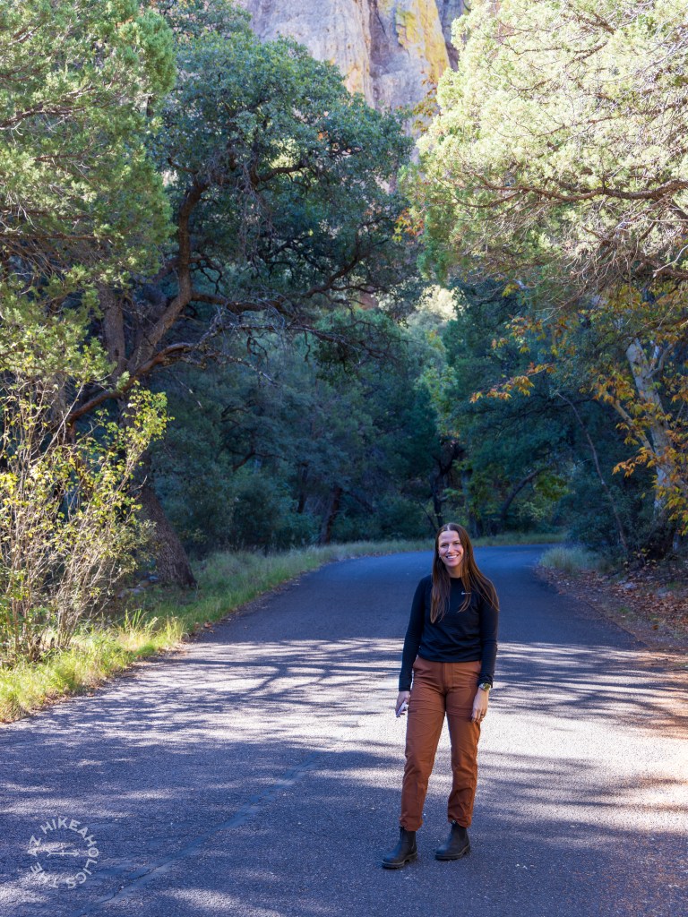
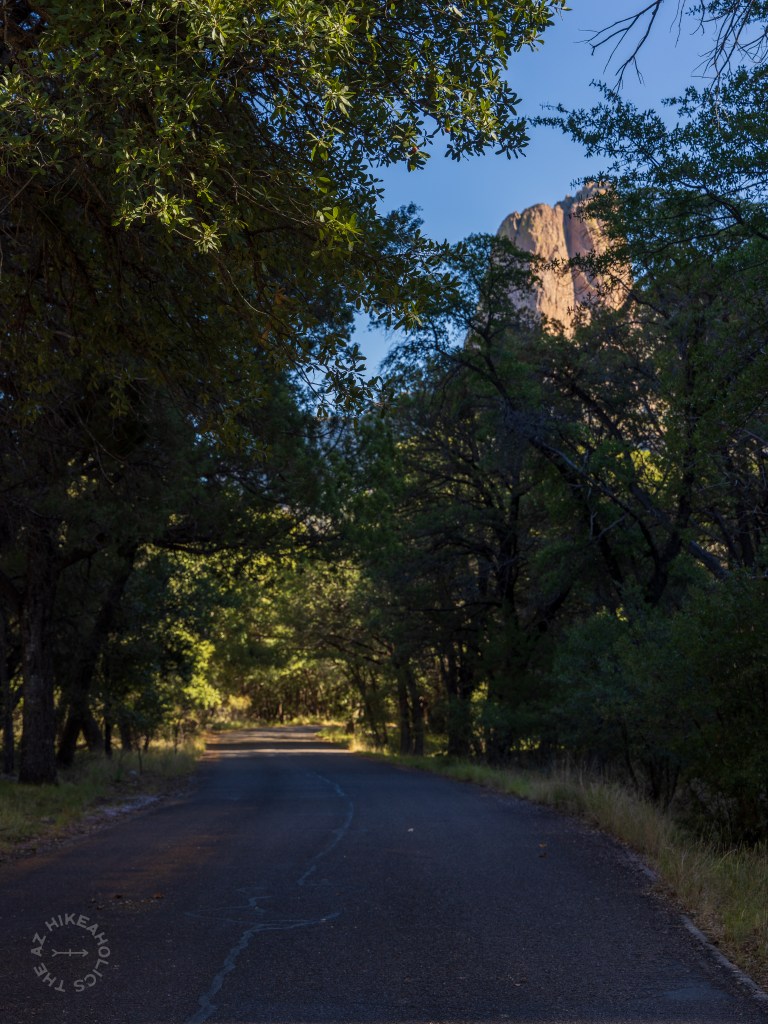
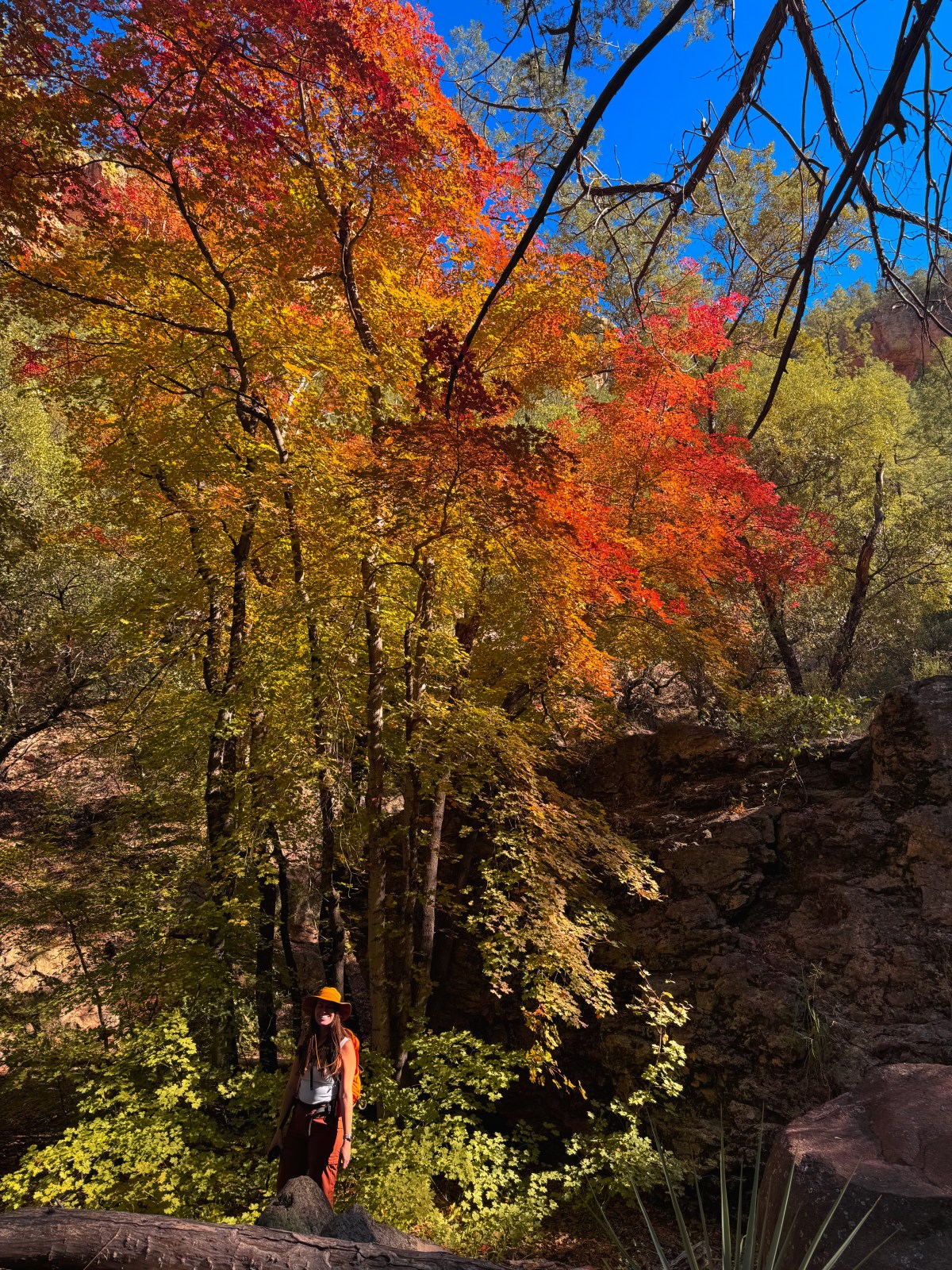
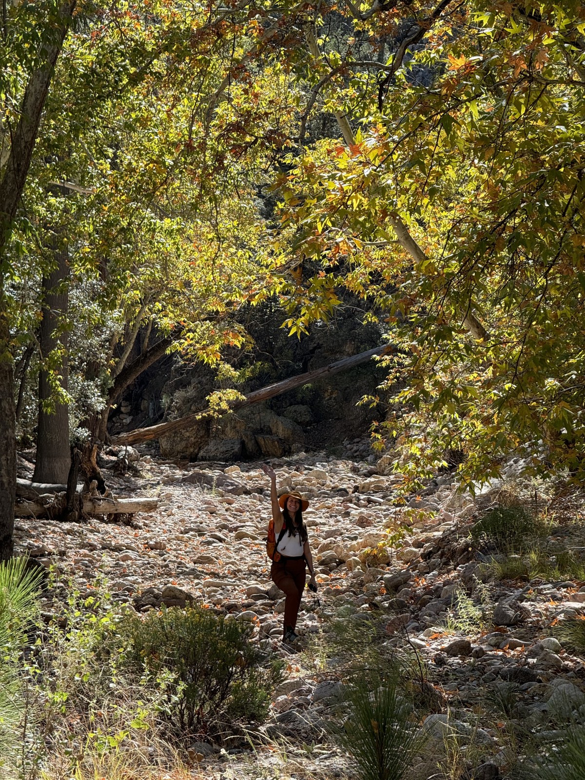
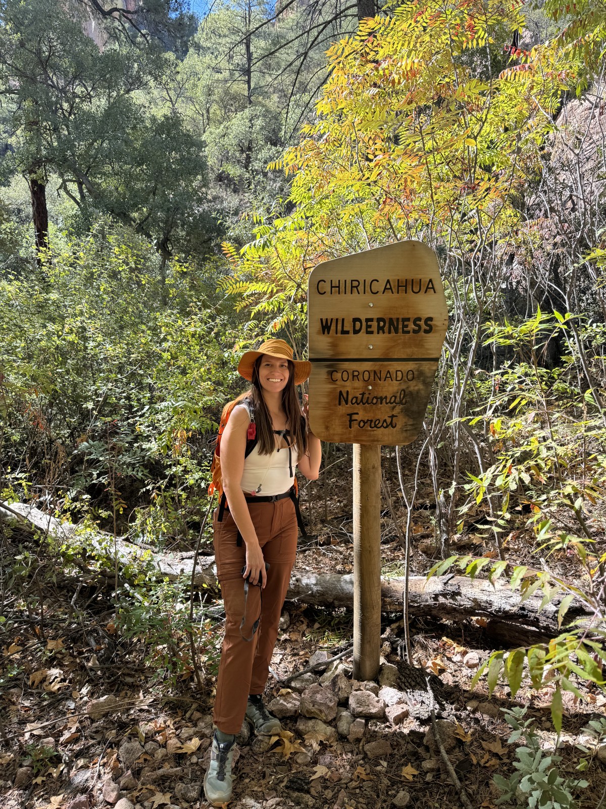
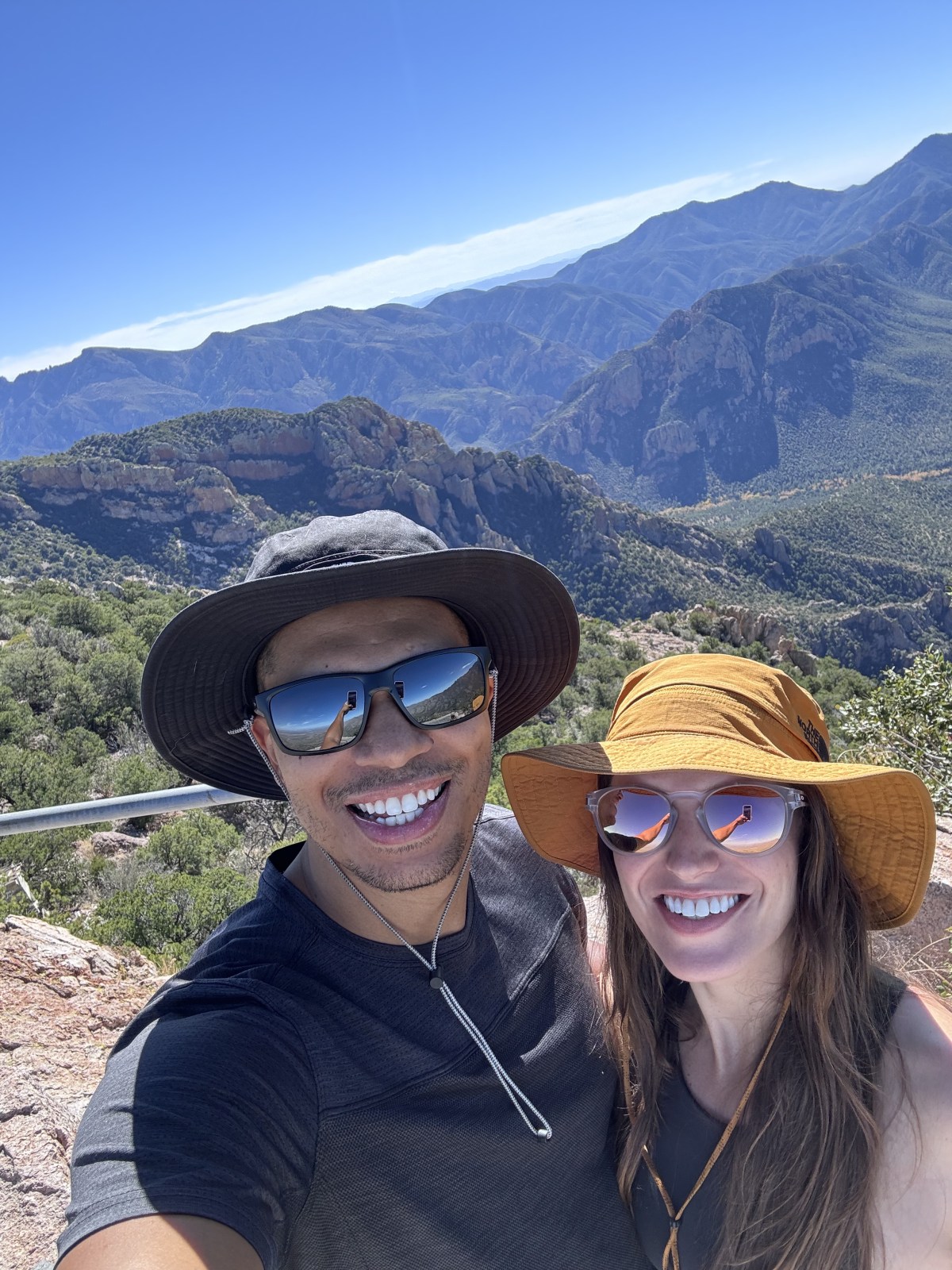
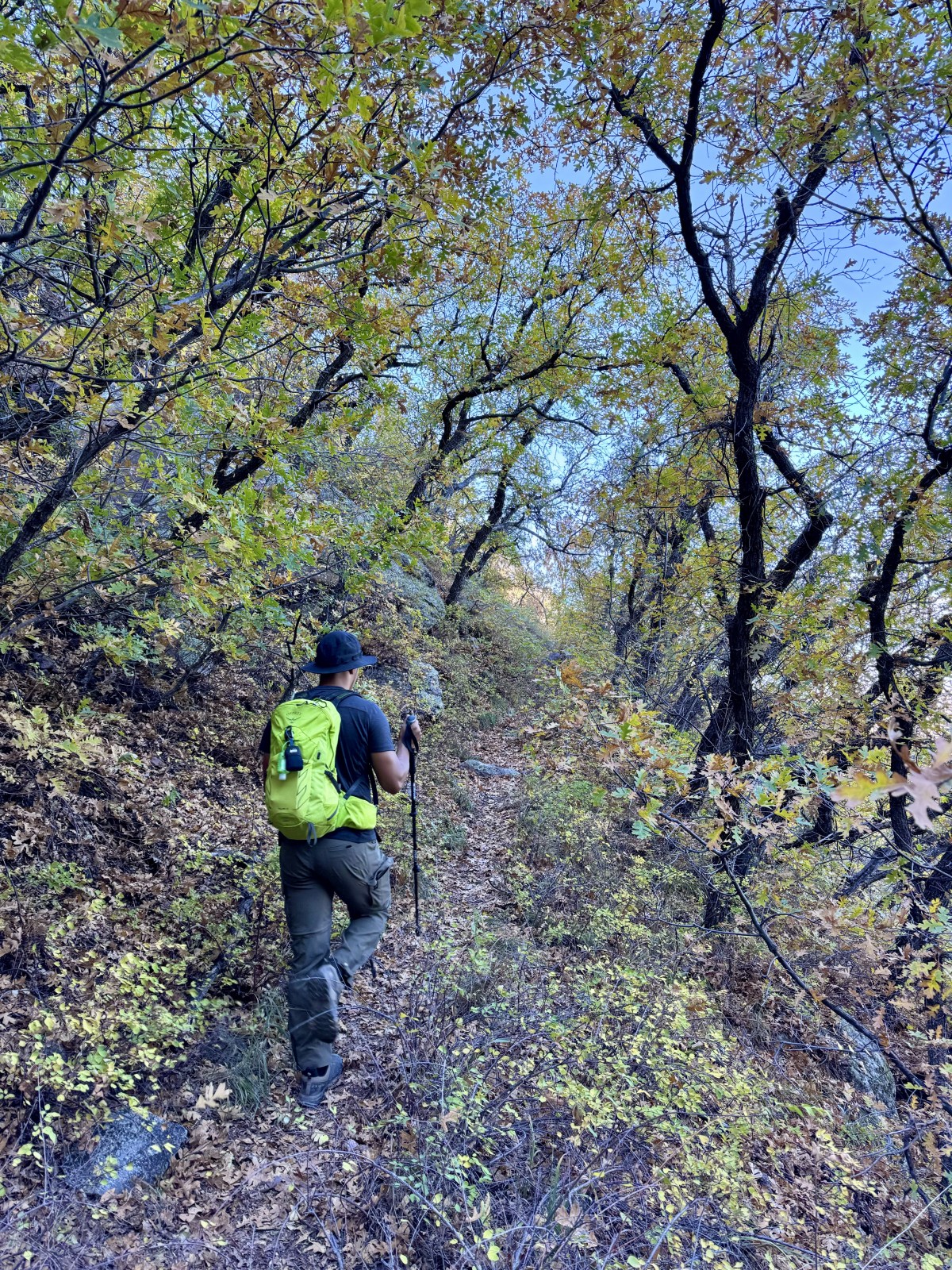
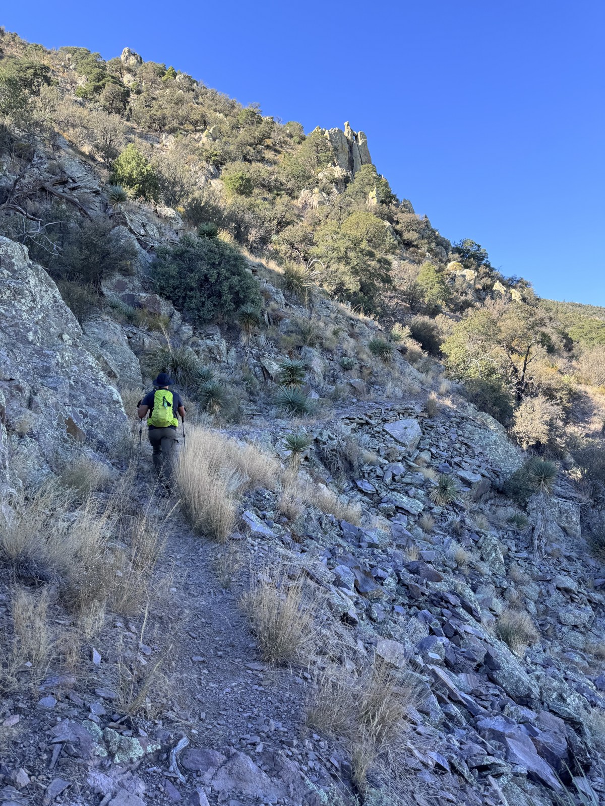
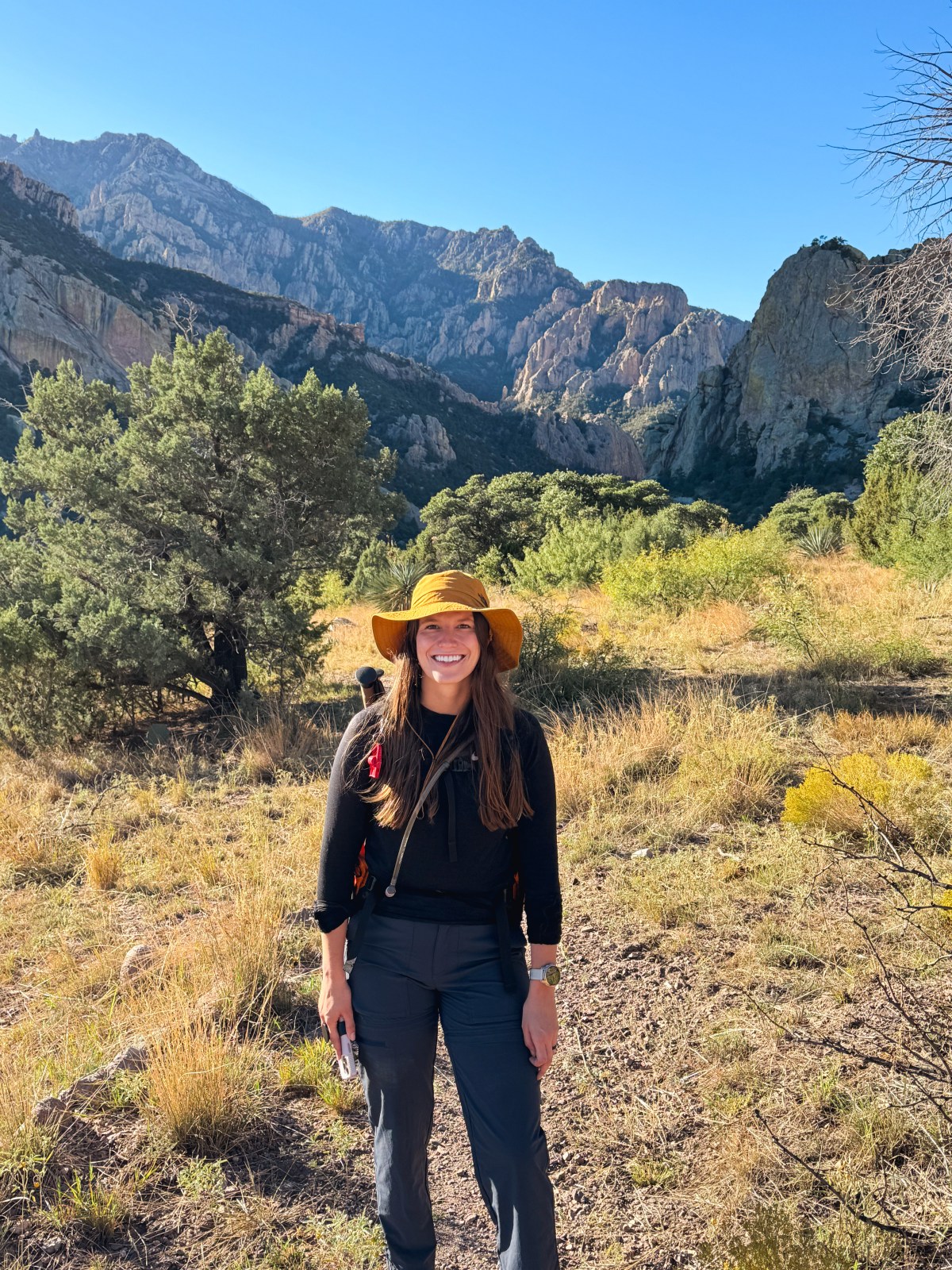
Portal is located about 4 hours from the Phoenix area and 2.5 hours from Tucson. We visited in early November of 2023 and there were some fall colors lighting up in Cave Creek Canyon along Cave Creek. During our trip we took the scenic drive through the canyon, hiked, and stargazed. 

Map of Portal
Cave Creek Canyon, Portal, AZ - Coronado National Forest

Leave No Trace

Please remember to Leave No Trace when exploring. Pack out all trash and plan ahead. Check out our hiking tips for more information. 

The 7 principles of Leave No Trace

1) Plan ahead and prepare 

2) Travel & camp on durable surfaces 

3) Dispose of waste properly 

4) Leave what you find 

5) Minimize campfire impacts

6) Respect wildlife 

7) Be considerate of others

What to know before you visit:

Portal is extremely remote. The nearest city with a grocery store is Willcox (1.5 hours) and the nearest gas station is in San Simon (55 mins). It’s important to plan ahead! We stopped in San Simon to fill up before we drove into Portal. On the map above you can see where Willcox and San Simon are compared to Portal. The only route to get to Portal from Arizona is to drive on dirt roads. Overall, the dirt road is not bad and you don’t need high clearance and 4WD in good conditions. However, you can go around and into New Mexico to enter on paved roads. 

There is only one restaurant in town called the Portal Cafe and it closes relatively early. We ate here for dinner on Saturday night but brought Mountain House meals (use code OS24Q2 for 10% Mountain House) for most of our other meals since we were on the go a lot. Additionally, on our way to Portal, we stopped at the grocery store in Willcox for breakfast items for Saturday morning. We didn’t eat here, but Sky Islands Grill & Grocery is 7 miles east of Portal in New Mexico.

Portal sits at 4,760 ft at elevation and is cooler than Phoenix. However, the area does get warm in the summer and cold in the winter. The best time to visit is in the fall and spring when temperatures are more mild. To check the weather for Portal use “Portal San Simon” in your app. Portal is a popular birding spot and if you’re lucky you could see the rate Elegant Trogon bird. If you’re interested in visiting for the birds we recommend to visit in March to May! Stargazing is also incredible in Portal and the best time of year to see the Milky Way is from late March to late September, while the Milky Way season goes from early February to late October or early November.

Milky Way seen from Portal, AZ

Where to Stay in Portal

We had planned to stay in a National Forest Service cabin in Cave Creek Canyon, but there was a plumbing issue and they had to cancel our reservation. There are two cabins, Portal CCC House and Portal Bunkhouse bookable through recreation.gov. Instead, we stayed in an Airbnb. There aren’t a ton of options in Portal, but there are a few Airbnbs. However, there are multiple campgrounds in Cave Creek Canyon and the Coronado National Forest! Some of the higher elevation campgrounds are only open seasonally. If you plan to camp we highly recommend checking the weather ahead of time. The highs and lows can be drastic. The Green Witch House at Sky Village was perfect for us. It’s only a short drive to Cave Creek Canyon and we loved that there was a bird feeder in the front. The view from the house was also amazing! 

Cave Creek Canyon

Cave Creek Canyon is located on the eastern slope of the Chiricahua Mountains in Coronado National Forest. The Canyon sits at 5,000 ft in elevation with the highest peak rising above 8,000 ft, making for incredible biodiversity known as sky islands. Since the mountains raise above 8,000 ft they do get snow. Be prepared before you hike! The more west you continue up the mountains, the taller the peaks with the highest peaks above 9,000 ft.

There is a National Forest visitor center with information and maps at the start of Cave Creek Canyon, and restrooms that are open seasonally. There are many animals in Cave Creek Canyon including bears, mountain lions, bobcats, coyotes, deer, and more. Please be cautious when driving! We saw a lot of deer. And while on trail, we saw mountain lion scat and bear poop. Below we highlight how we explored Cave Creek Canyon by vehicle and by foot.

Scenic Drive

Cave Creek Canyon in the Chiricahua Mountains of Coronado National Forest in Portal, Arizona

On our first day, we checked out the visitor center before we took a drive up Cave Creek Canyon on Forest Road 42. We drove up to Rustler Park, but could only go so far because the top was closed for the season. At the top there is a first come first come campground at Rustler Park that was rebuilt after a lightning caused forest fire in 2011. From there we drove back down the mountain and through Paradise. We then completed the loop by heading back to Cave Creek Canyon from Portal and had lunch at an empty campsite. This drive is beautiful! Watch out for animals on the drive. We saw a lot of deer! 

Hikes

There are a lot of hikes to do in the area! Much of the south and southwestern section of the mountain range is within the Chiricahua Wilderness, meaning no motorized equipment or mountain bikes are allowed. Service is quite limited and we suggest downloading the area on Google Maps for offline use and also looking at AllTrails in advance for trails and trail downloads. 

South Fork Trail #242

After the drive, we hiked South Fork Trail, which is a beautiful hike along a South Fork Creek that had some fall colors still hanging on. The full hike is 4.1 miles out-and-back with over 419 ft in elevation gain; however, because of time, we cut our hike a little short. The hike is considered easy to moderate depending on your hiking level. The trail is dog-friendly. There are no vault toilets at the trailhead and you do enter the Chiricahua Wilderness area where there are no motorized vehicles are allowed, including drones. Listen closely as there are a lot of birds on this hike! Additionally, we saw compelling evidence that bears frequent the area based on the droppings they left behind.

Sliver Peak Trail #280

We originally wanted to hike to Silver Peak on Saturday, but after getting a late start we decided to push it to Sunday, and we’re glad we did. This hike is long and definitely challenging. AllTrails says 8.8 miles out-and-back while the pamphlet from the visitor center said 10 miles. We recorded about 10.5 miles out-and-back. We recorded 2,880 ft in elevation gain and AllTrails claims 3,024 ft in elevation gain. The hike has multiple switch back sections with one near the bottom and the other near the top of the trail. On trail we saw a rancher’s horses that we carefully went around, some deer, and and scat from mountain lions and bears.

Although quite taxing, this hike was beautiful! The trail follows climbs up to the edge of the mountain where it hugs the contour for quite a while as it wraps around to the back side from where you park. Once on the backside the change in vegetation is quite apparent. We continued to climb and took note of our changing environment throughout. As we got closer to the peak we were in pine forest after starting in a more chaparral type terrain. At the top are remnants of an old fire lookout tower. The tower burned down in a storm and was never rebuilt. Some of the concrete stairs and foundation are still there. 

Check Out Our Reels

Hi There!

We're Lauren and Owen -

We started The AZ Hikeaholics as a way to share our adventures with an audience that was interested. It soon grew into a community and we were all in! The more we learned about the history, geology, culture, biology etc, of the places we were exploring, the more we wanted to know.

You may also like -

Join our mailing list!

Never miss an update

Stay up to date by subscribing to our mailing list to receive our monthly newsletter and other important updates!