


Sierra Vista, Arizona: Best Hikes, Bird Watching, and More
The Hummingbird Capital: Sierra Vista, Arizona Sierra Vista, Arizona, known as the hummingbird capital of the United States, is home to 15 different hummingbird species

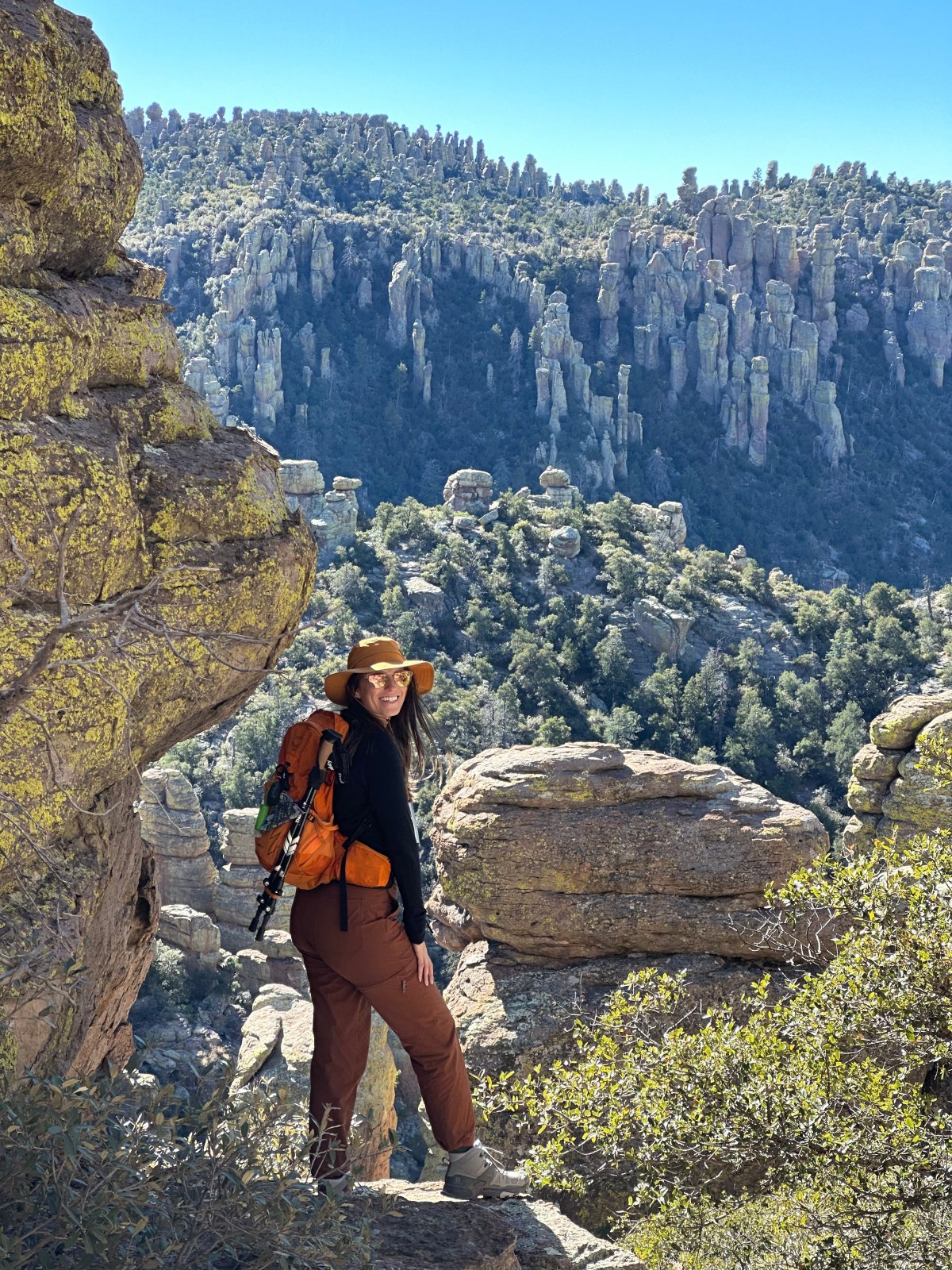
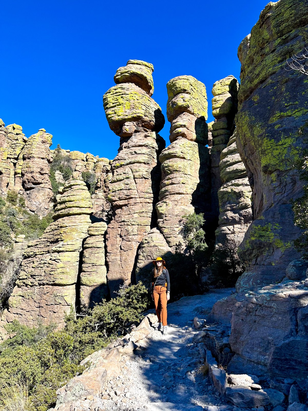
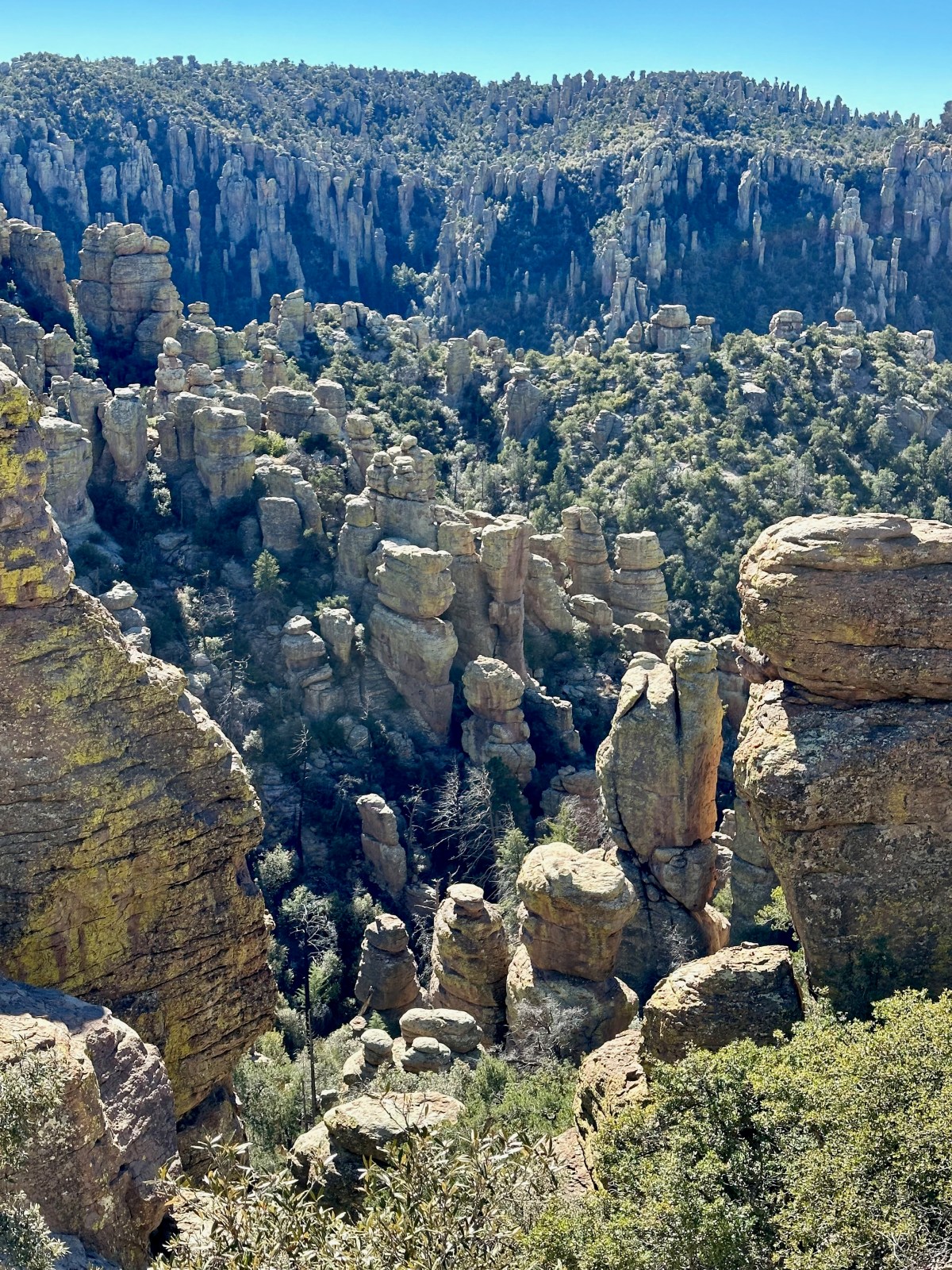
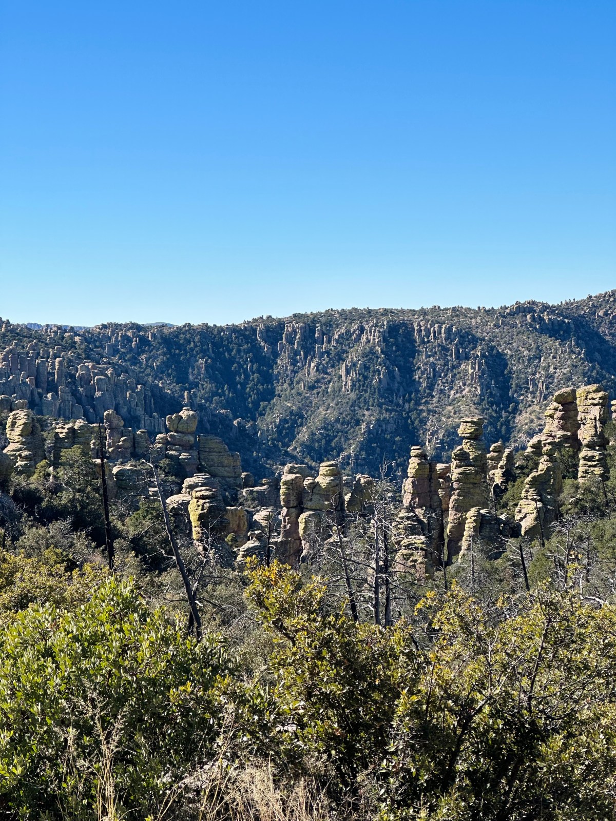
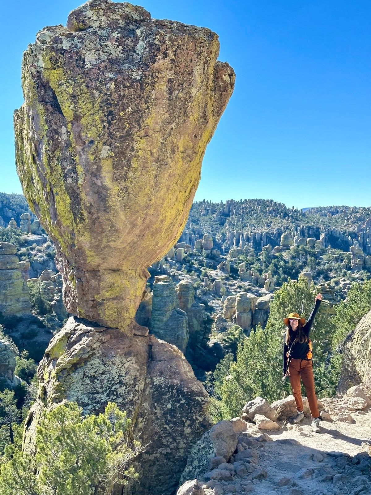
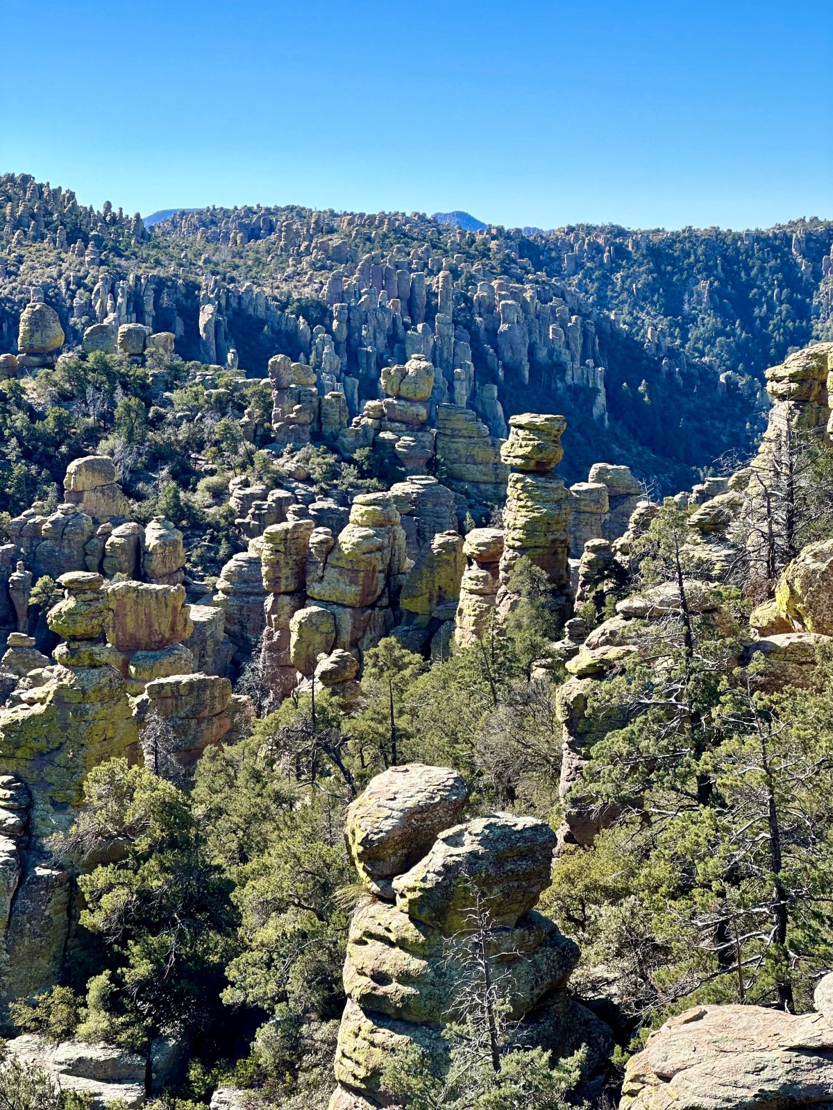
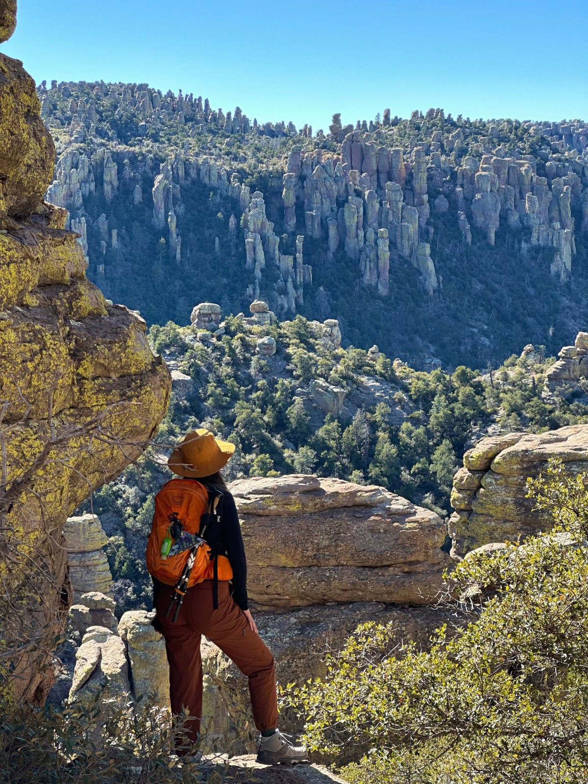
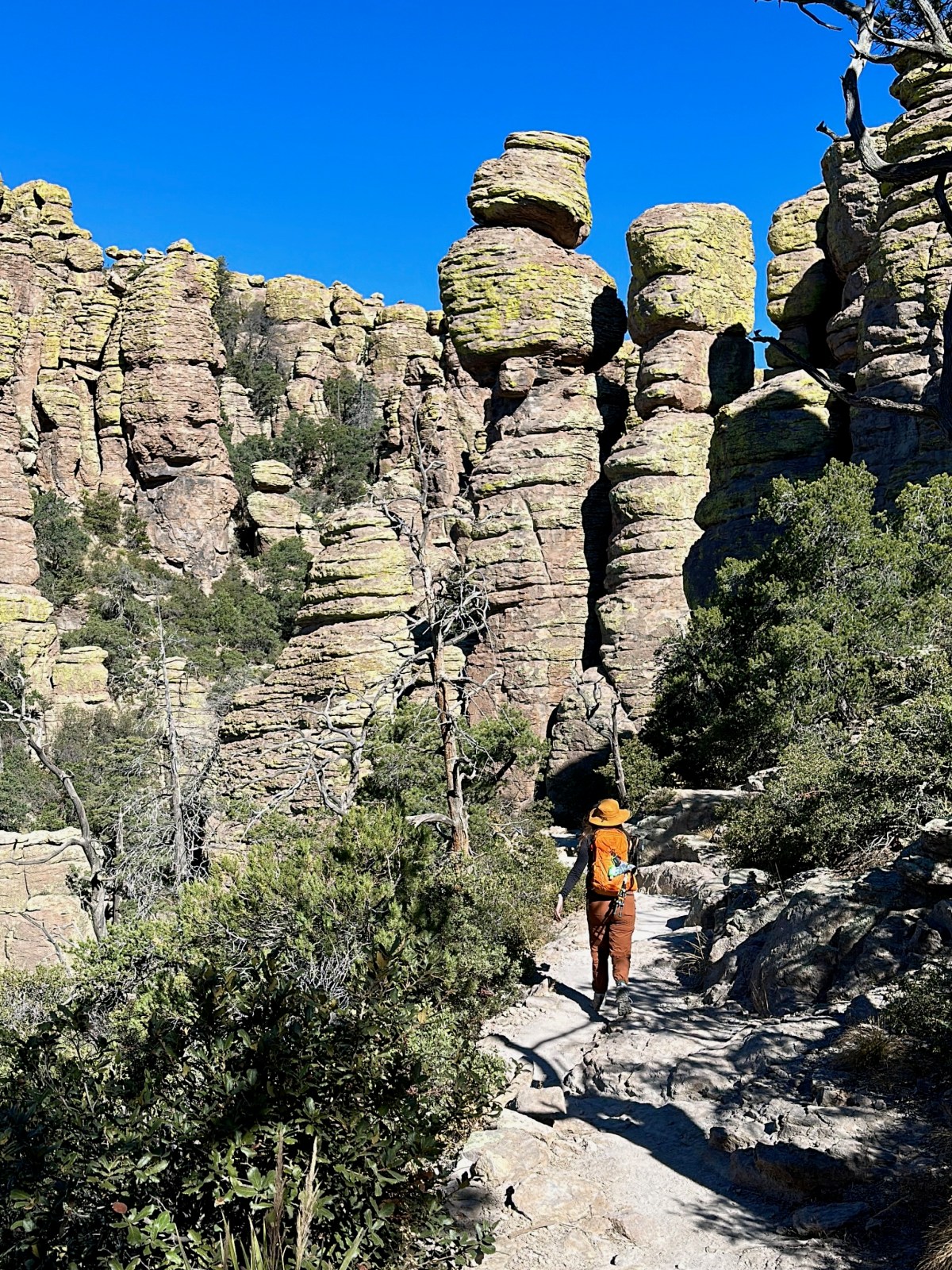
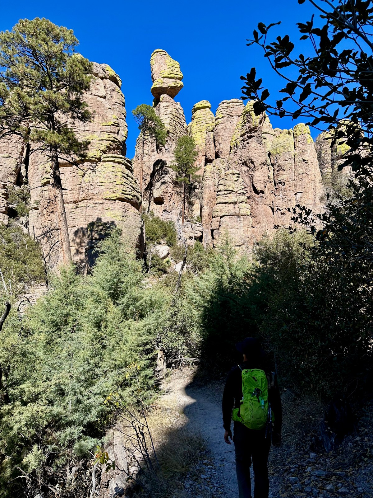
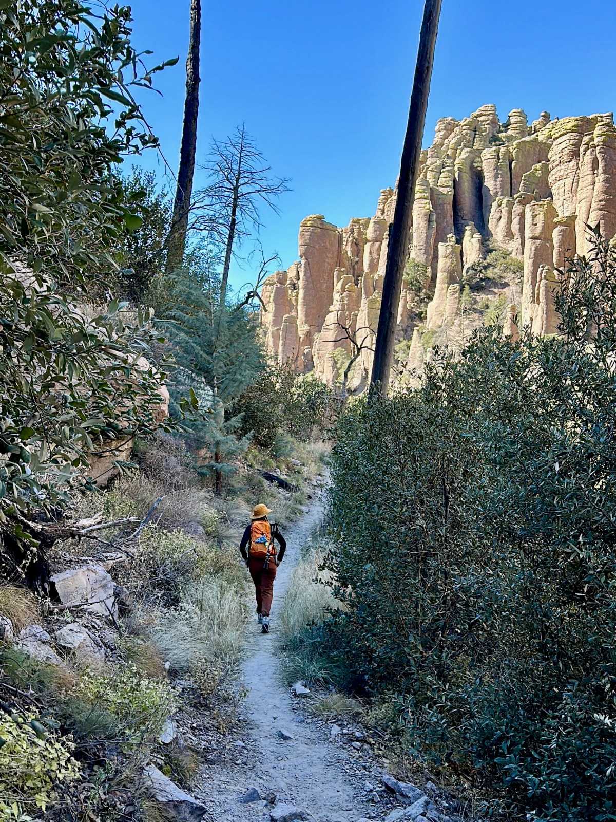
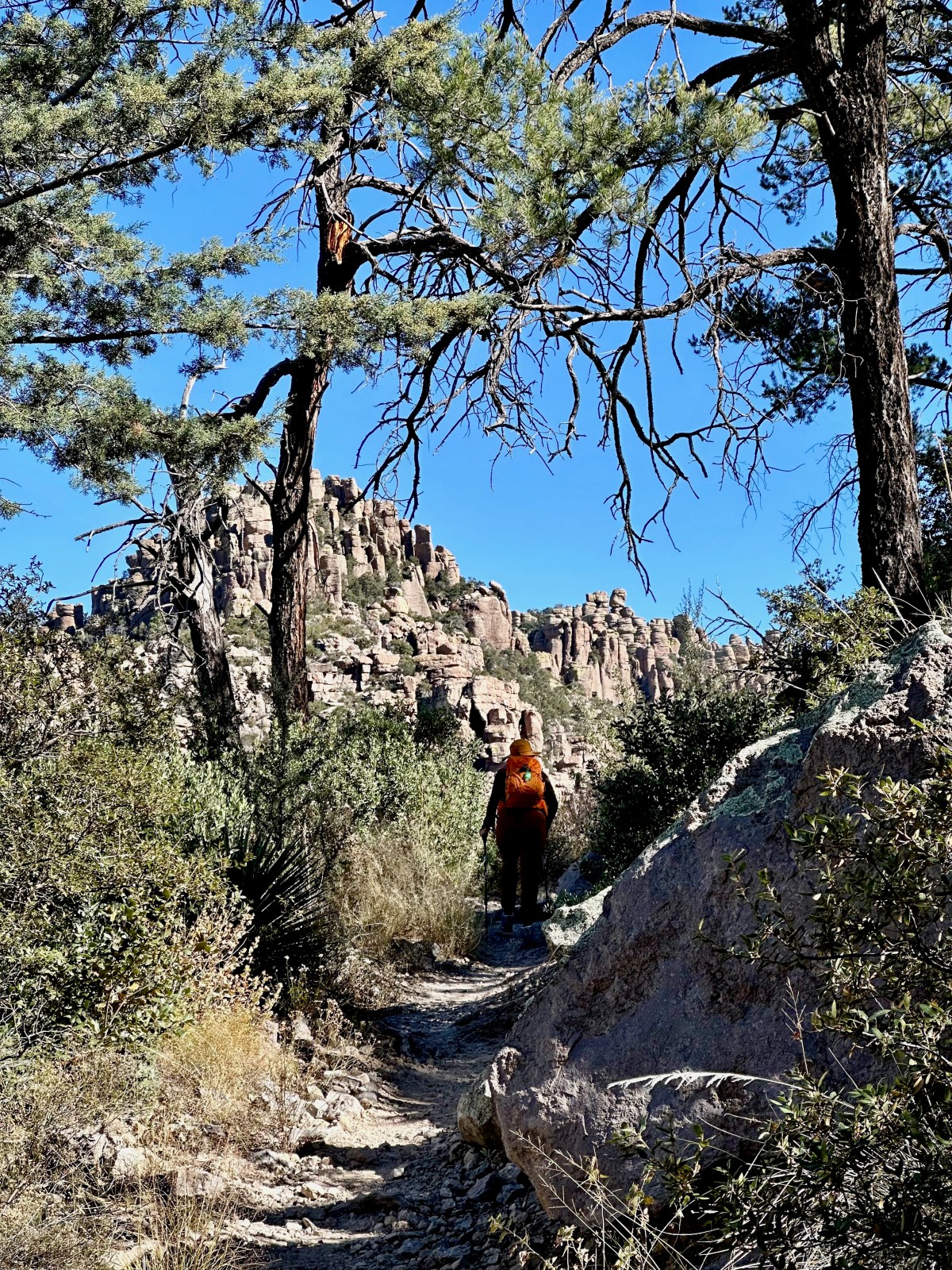
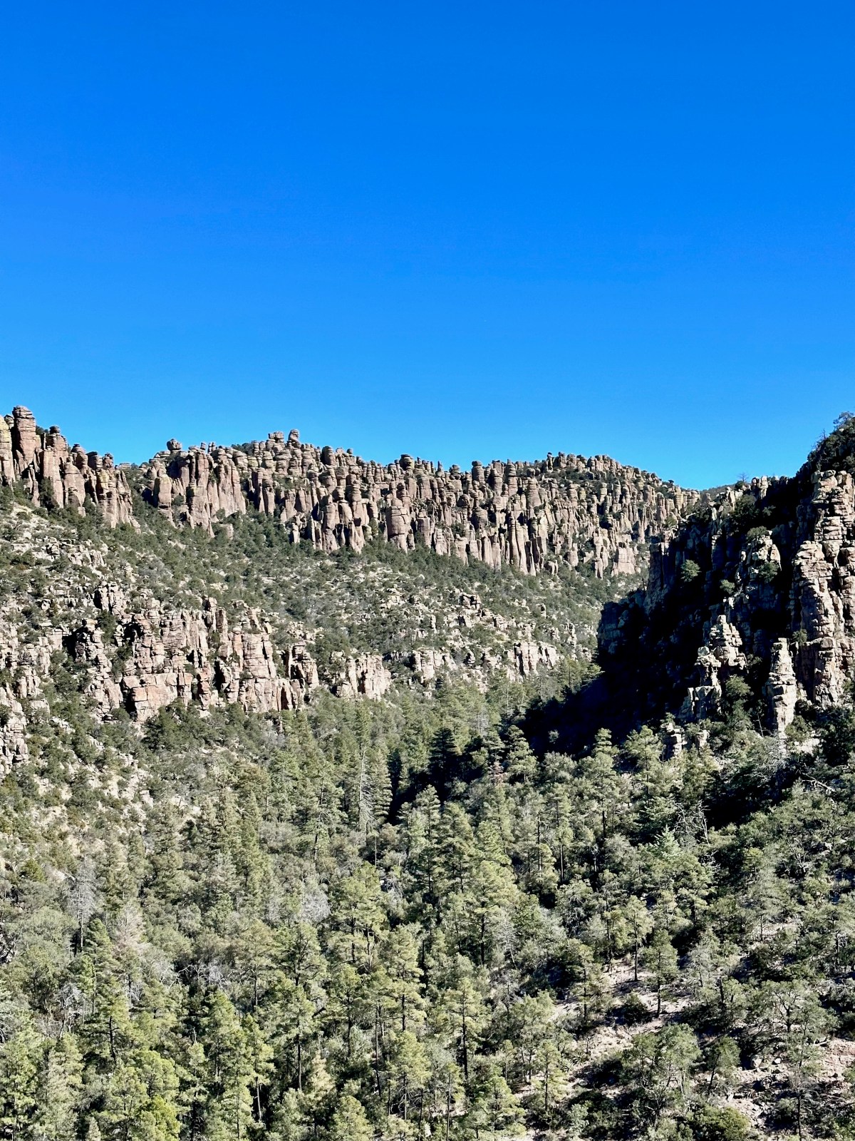
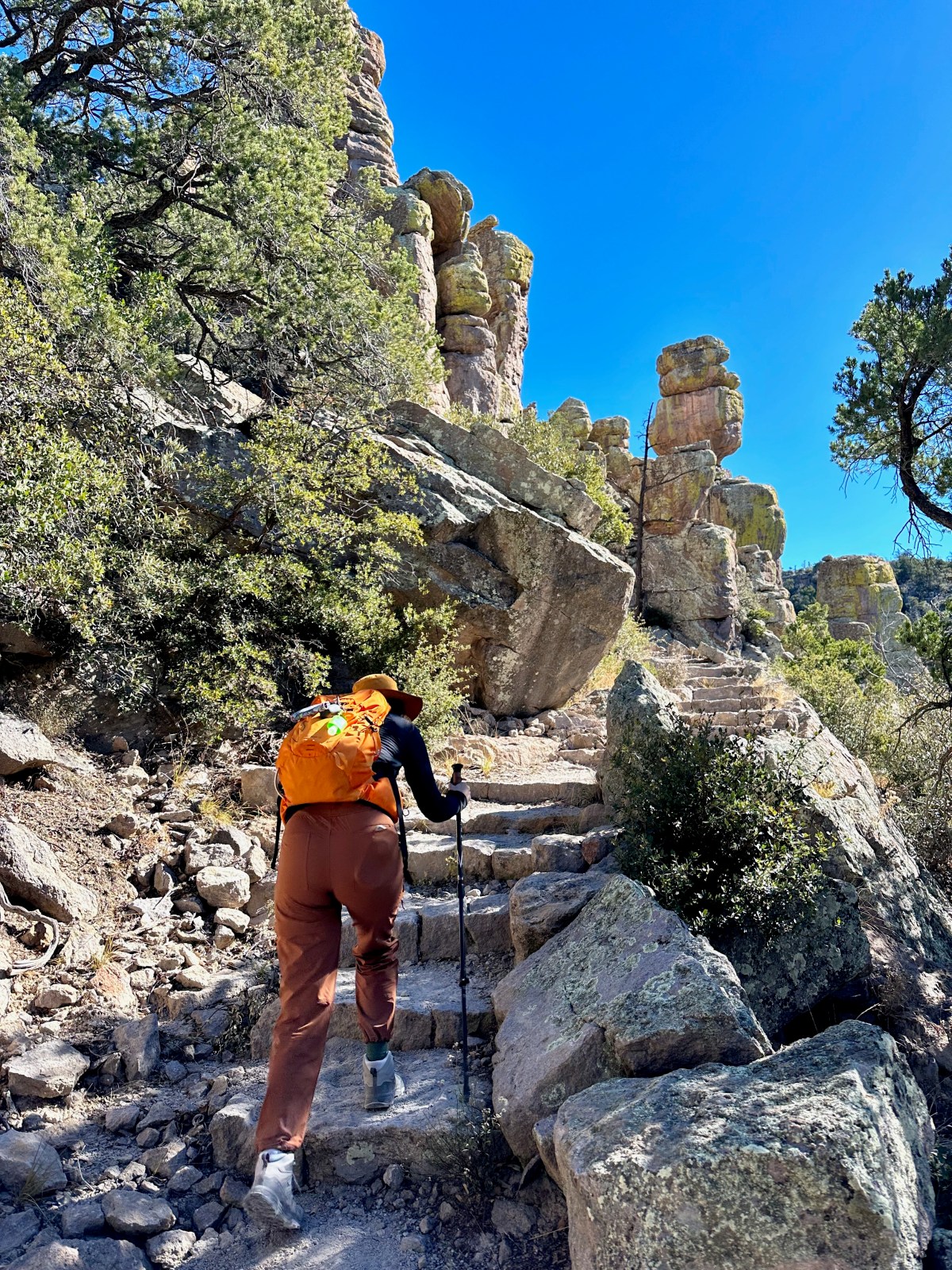
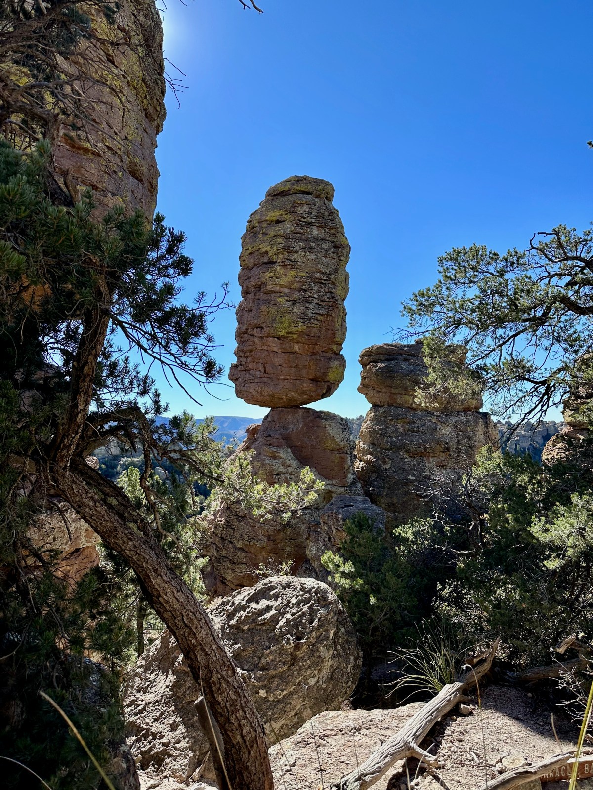
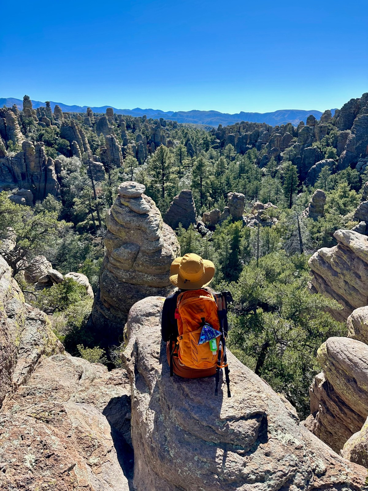
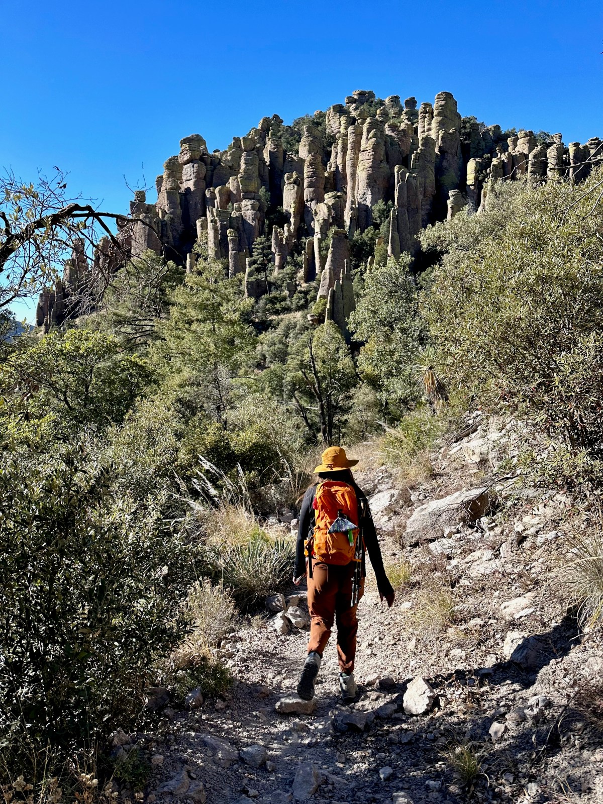
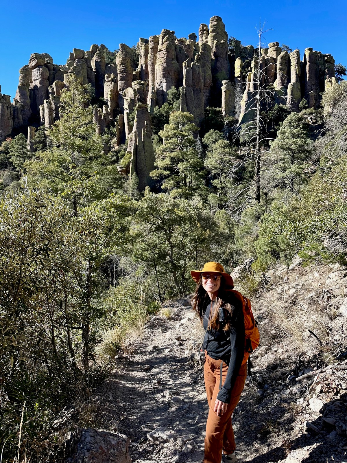
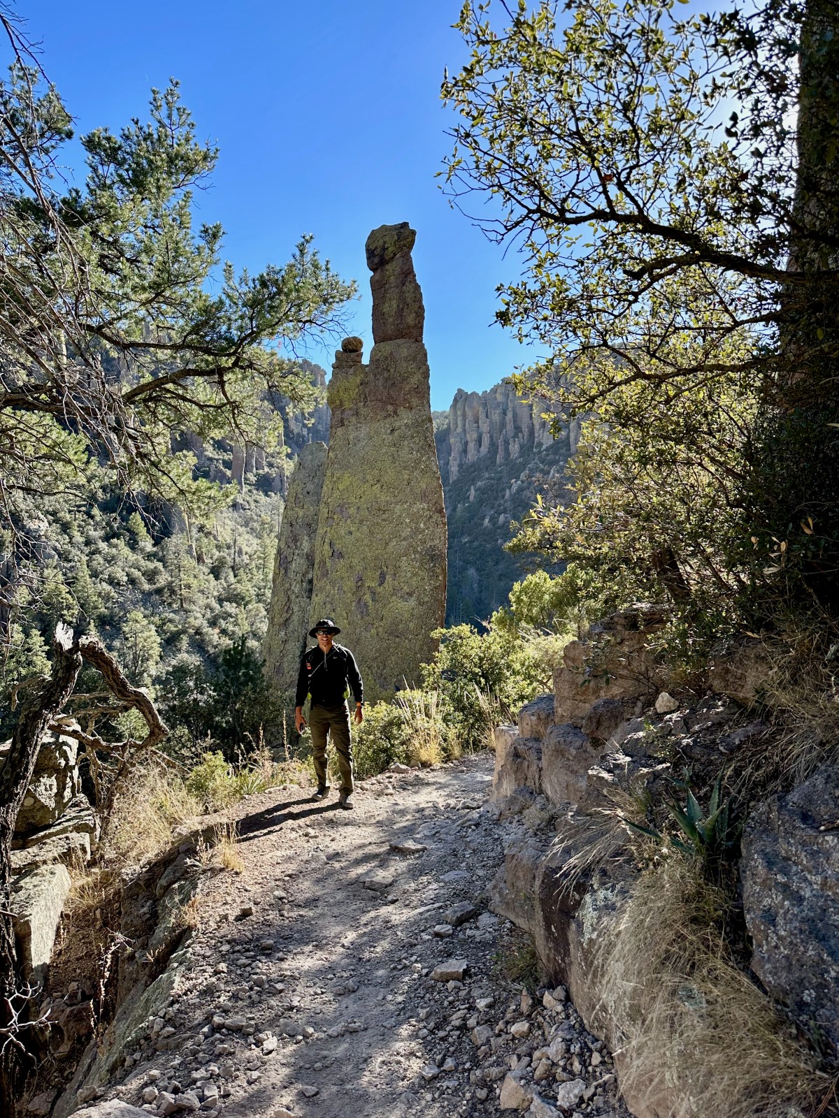
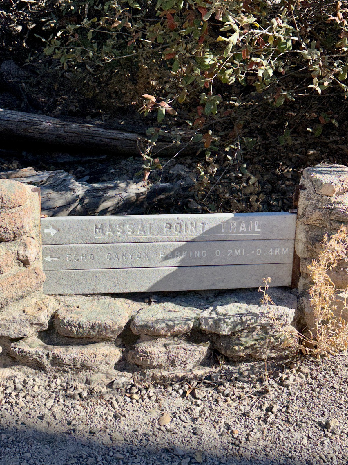
Portal, Arizona: The Yosemite of Arizona
Portal, Arizona Portal is located in southeastern Arizona in Cochise County near the state line with New Mexico. The small unincorporated community sits just east
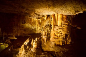
Kartchner Caverns State Park: Tours, Camping, and Tips
Kartchner Caverns: History and Preservation Kartchner Caverns State Park is home to one of the best preserved, publicly accessible caves in the world. The cave

