Arizona’s fall colors transform the state into a mix of golden aspens, fiery maples, and crisp mountain views. From Flagstaff’s high country to the scenic drives of Oak Creek Canyon and the White Mountains, autumn is one of the best times to explore. In this guide, we’ll share the top spots to see fall colors in Arizona, when to visit for peak foliage, and the hikes and drives you won’t want to miss.
Arizona Fall Colors & Leave No Trace
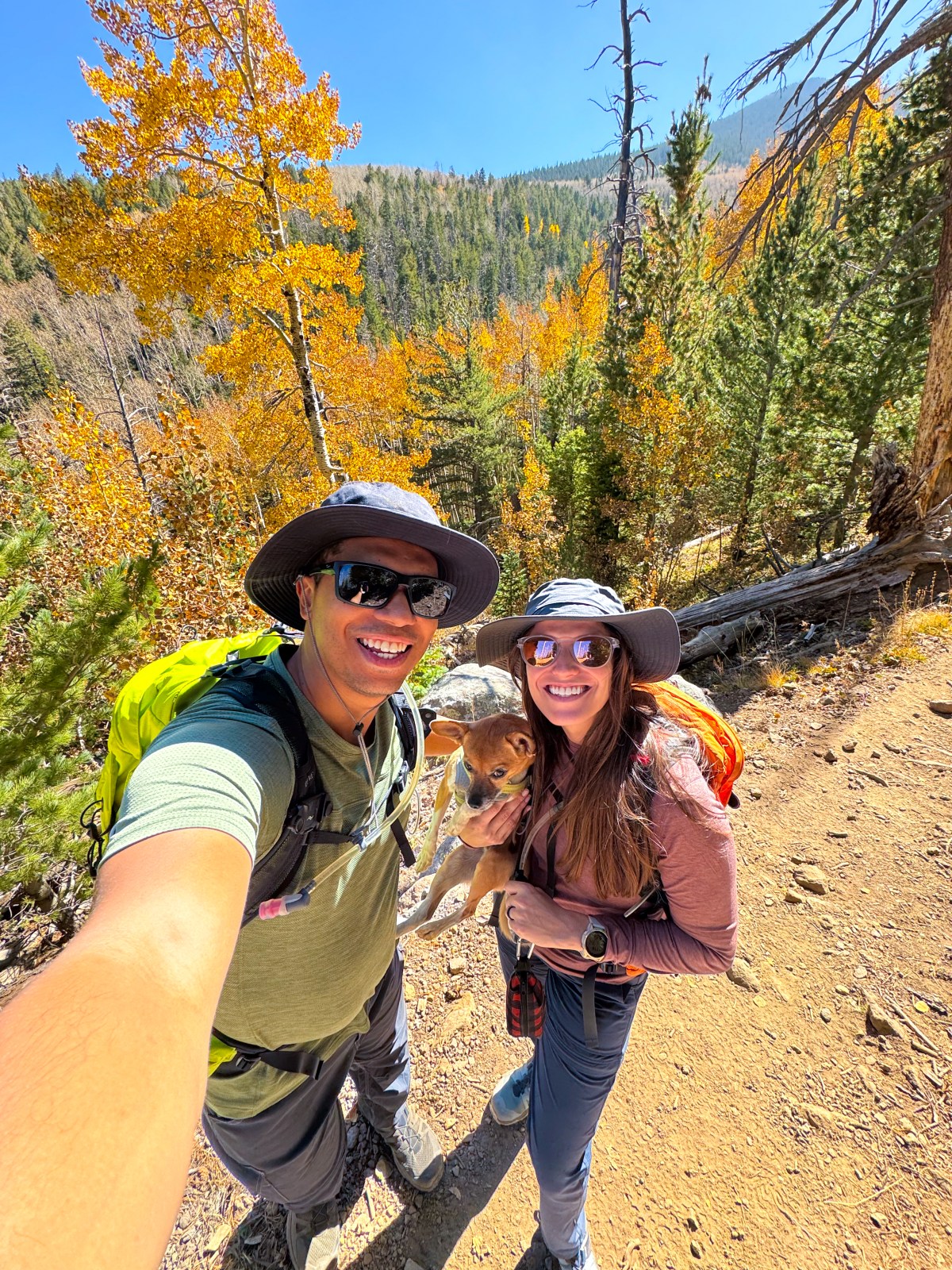
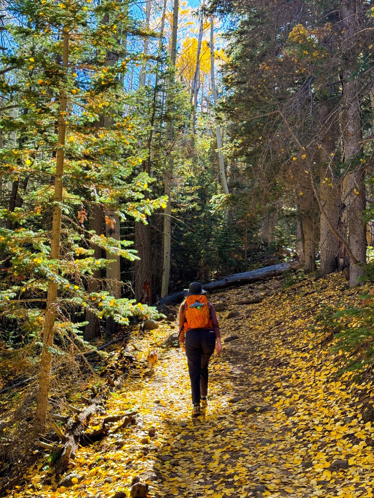
We love fall colors in Arizona and how they inspire us to explore so many different parts of the state. There is something truly special about walking through a glowing aspen grove, and we hope future generations get to enjoy these same views. That’s why it’s so important to practice Leave No Trace when visiting.
Aspens in a grove or stand are genetic clones, meaning each tree is part of a single organism connected underground through an extensive root system. This shared connection makes them more vulnerable to disease. Carving into an aspen’s bark injures its protective layer and can expose it to infections that could wipe out an entire stand. Please help protect these trees by never carving into them.
Use the interactive map below to jump to each location and start planning your trip.
About Fall Colors in Arizona
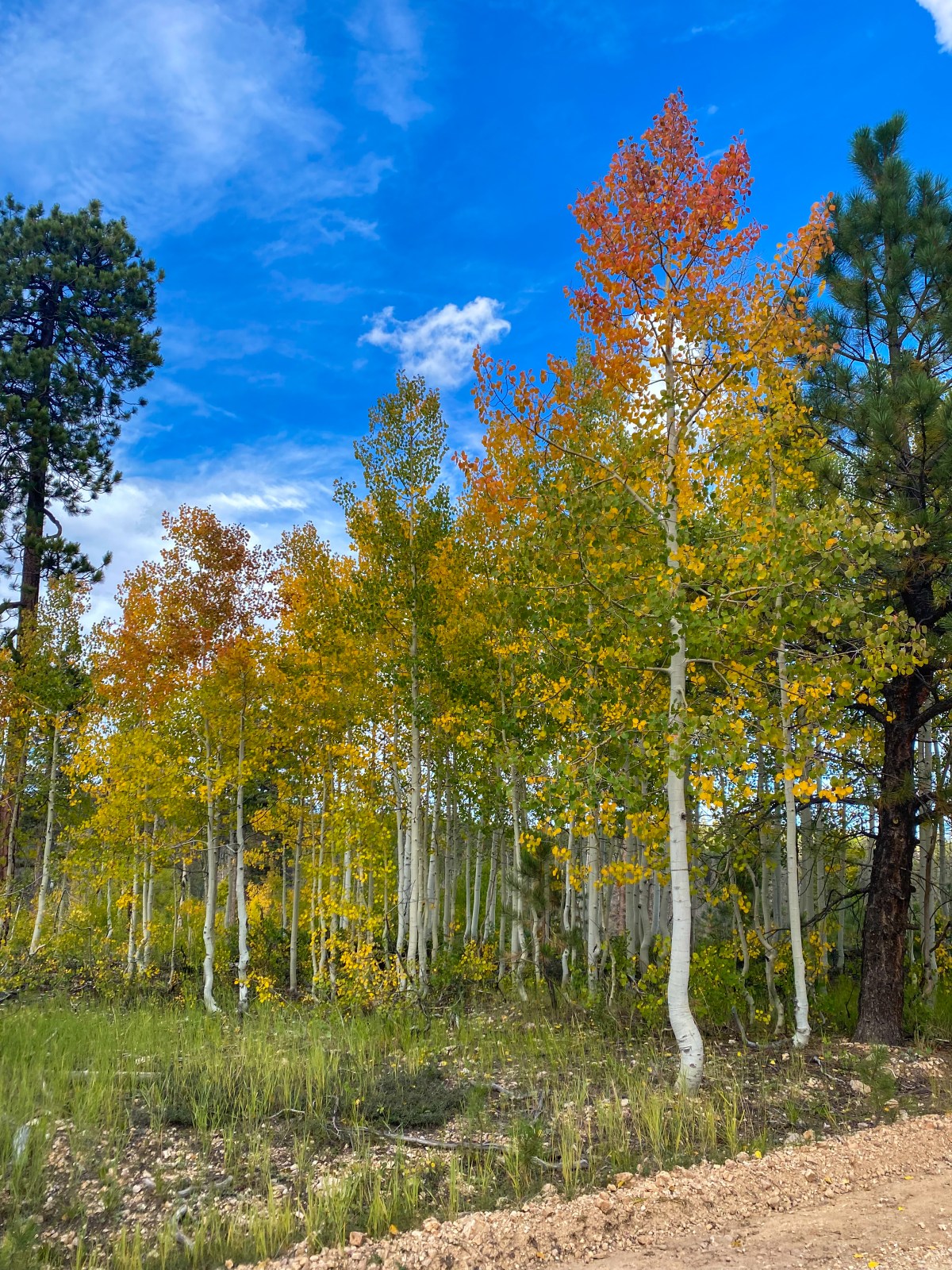
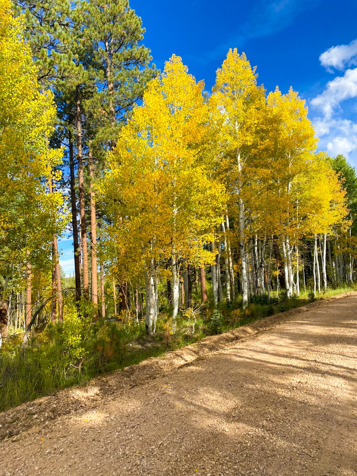
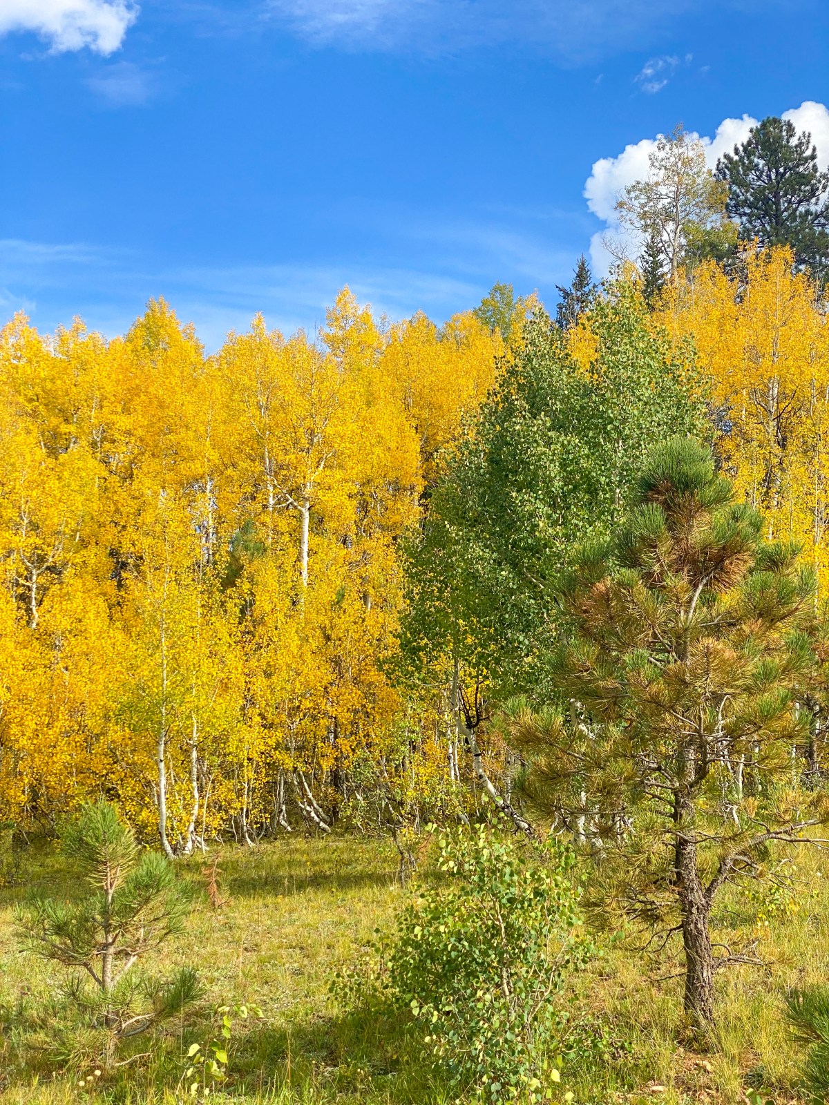
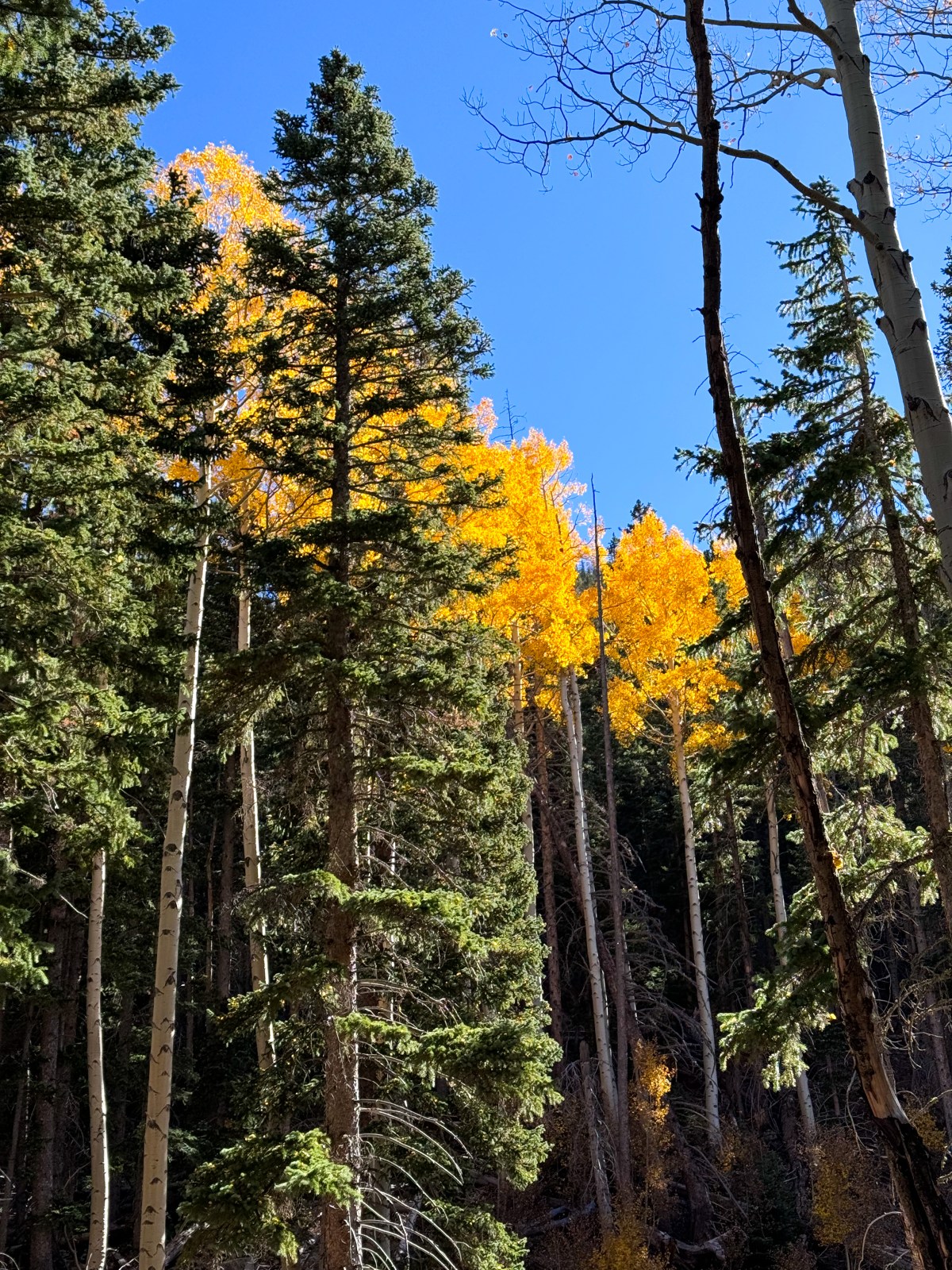
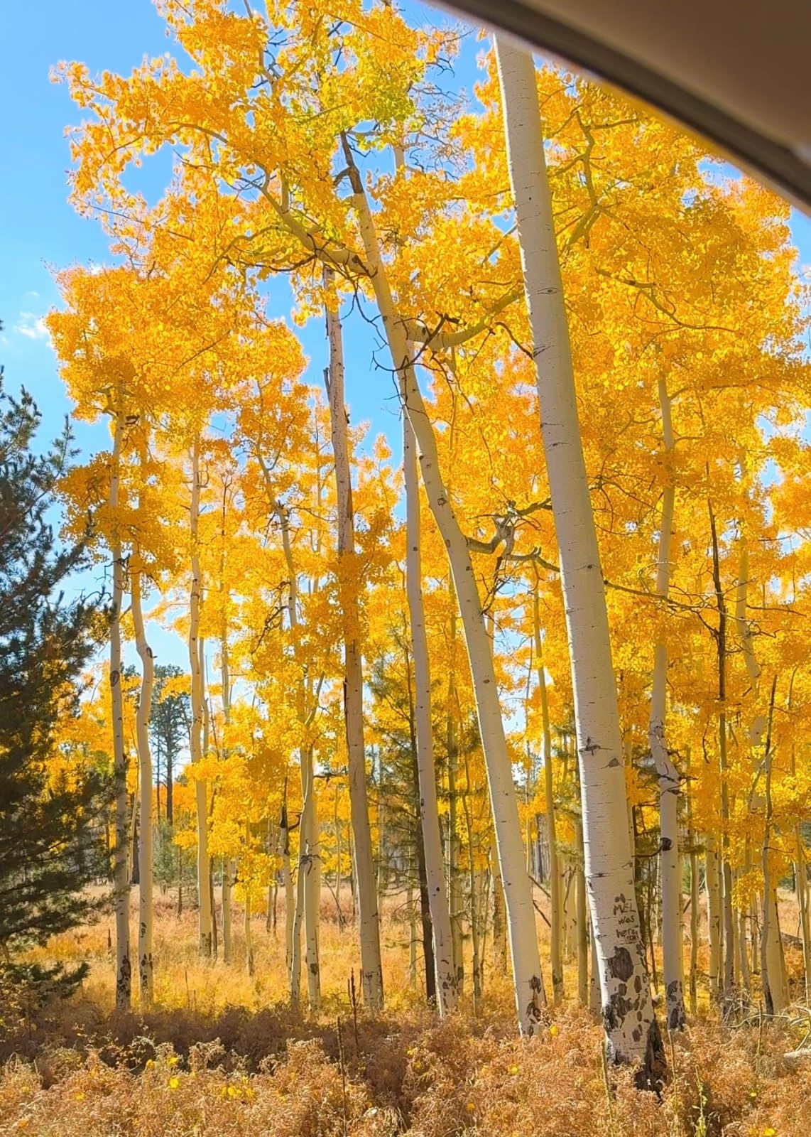
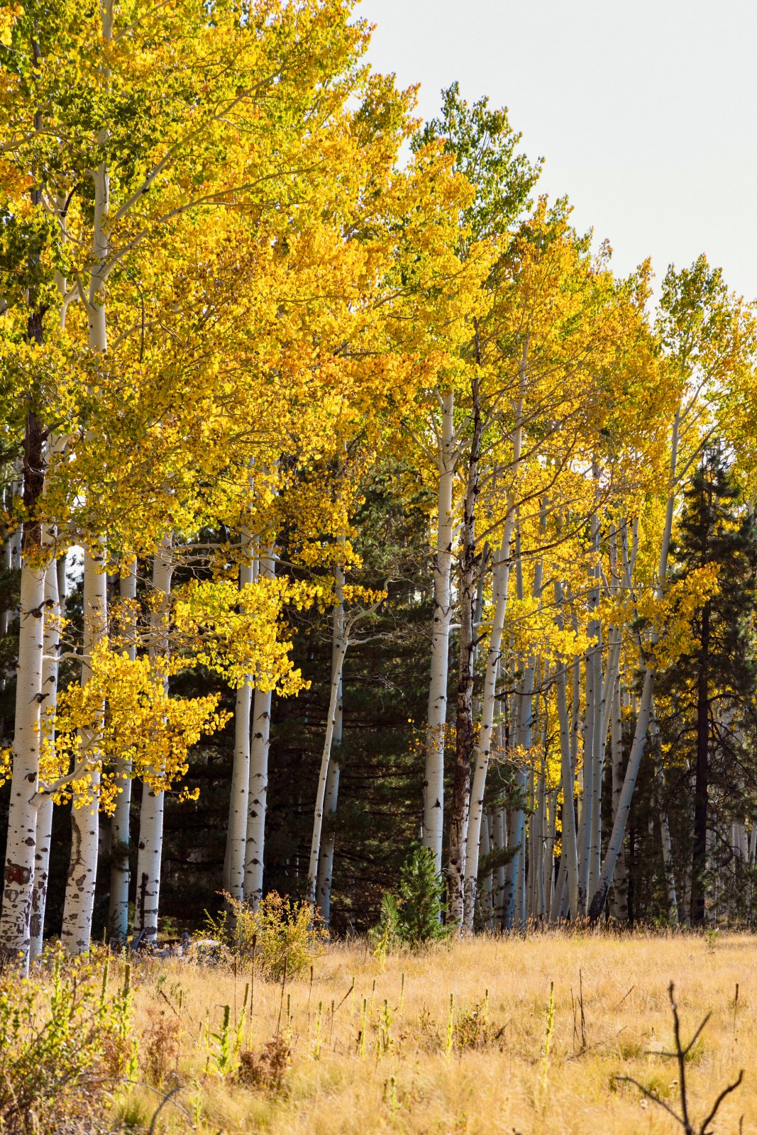
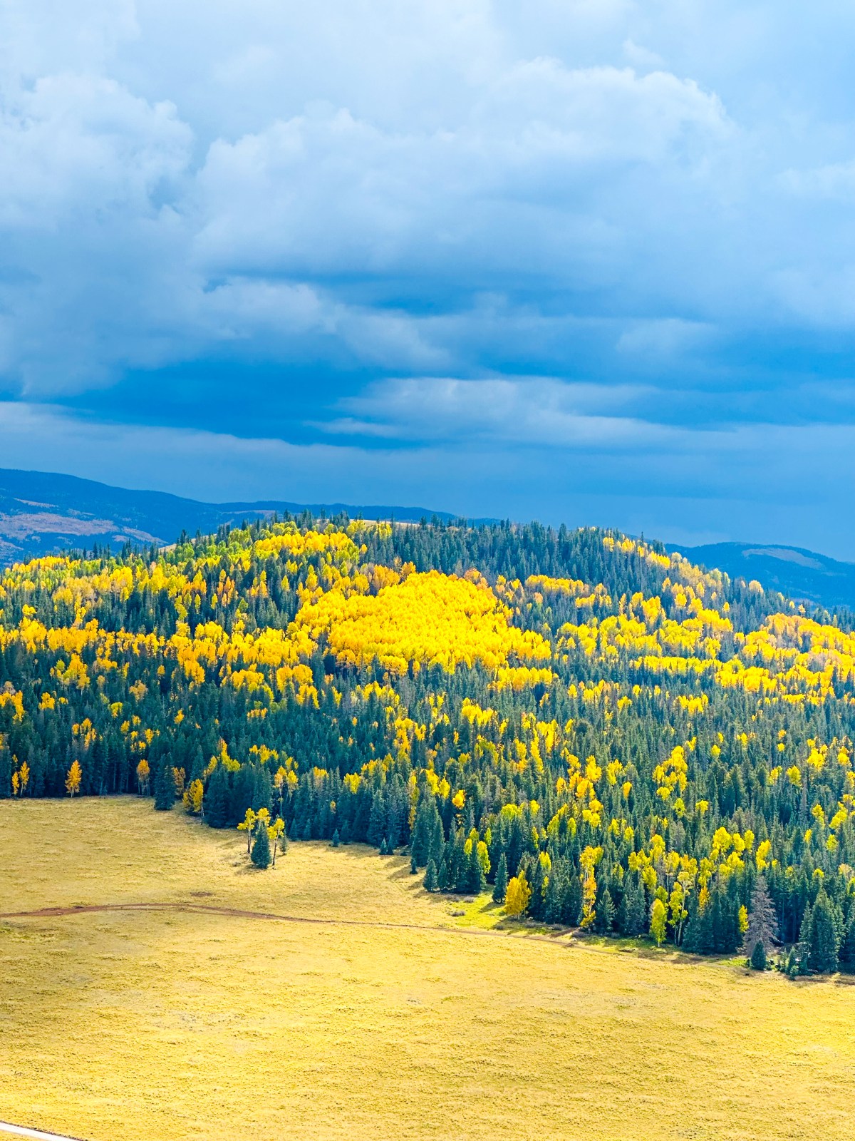
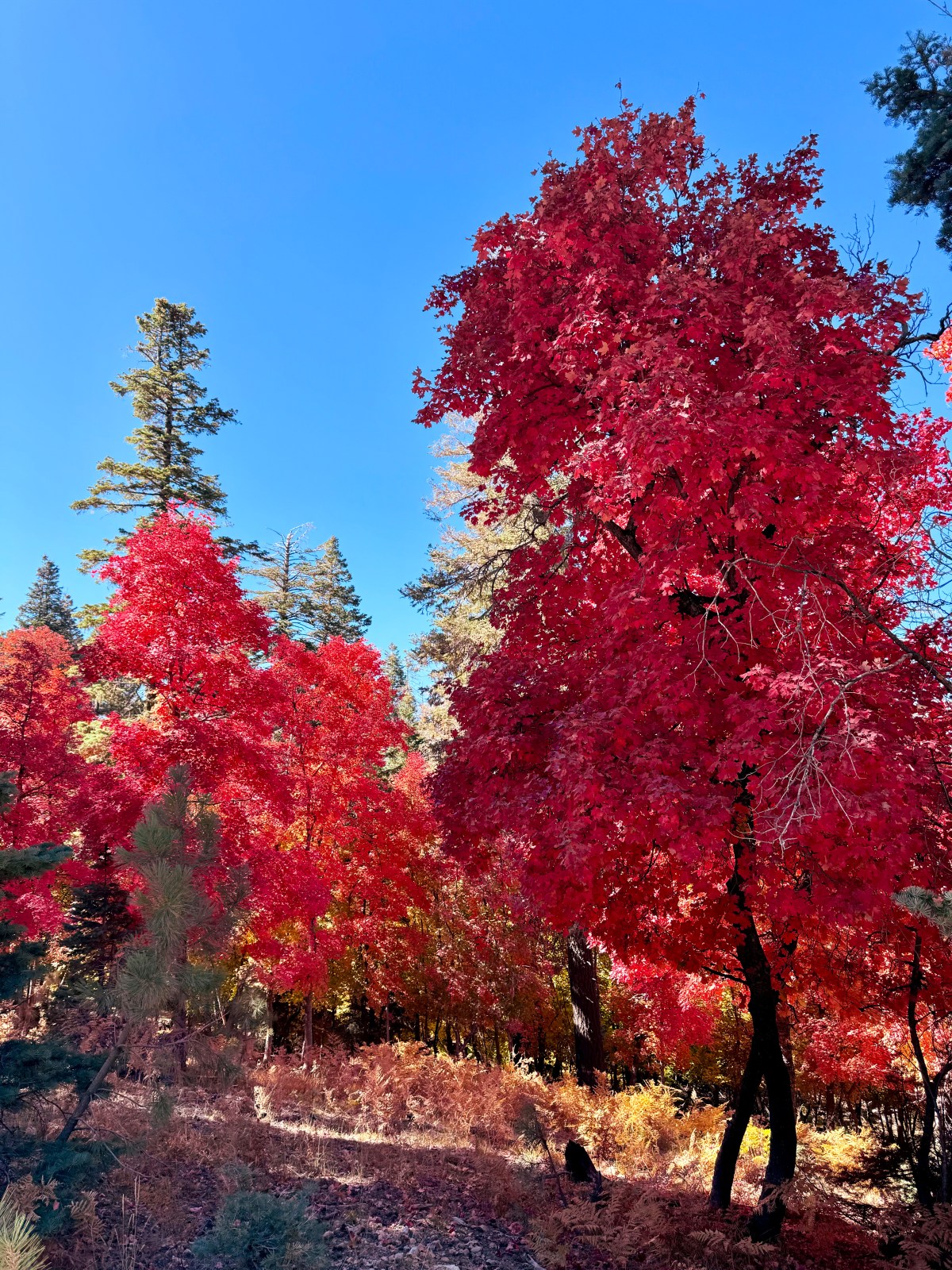
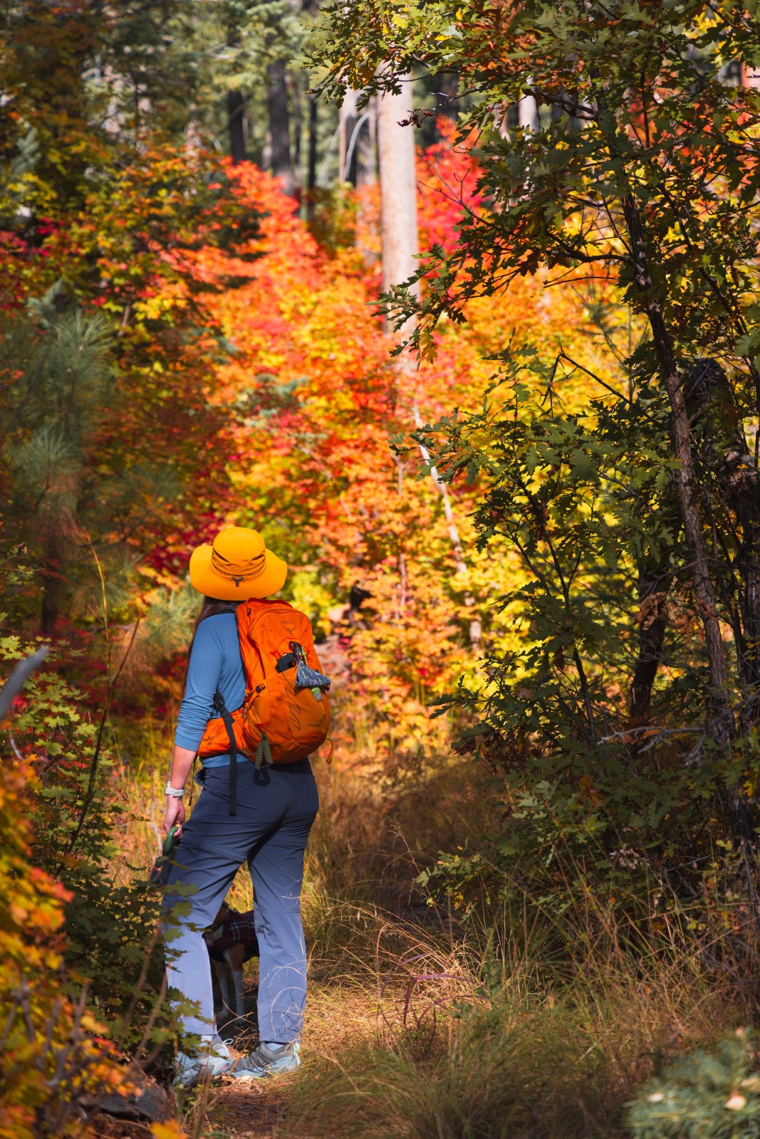
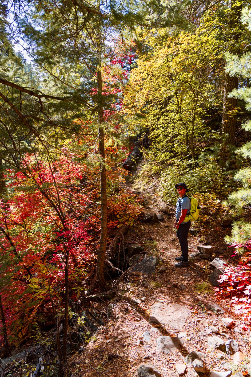
One of the things we love to brag about in Arizona is our incredible geographic and topographic diversity. Along the Mogollon Rim, which forms the southern edge of the Colorado Plateau, elevations range from 5,000 to 7,000 feet above sea level. The mountain ranges on top of the plateau climb even higher, reaching between 7,000 and 12,000 feet. Stretching nearly 200 miles from west to east, the Mogollon Rim is home to the largest contiguous ponderosa pine forest in North America. Mixed within the forest are aspen and maple trees, which put on a spectacular display of yellows, oranges, and reds each fall before going dormant.
In Arizona, aspens thrive at around 9,000 feet and grow especially well in areas where fire has cleared the forest floor. Maples prefer wetter environments, often found along canyon floors or beside streams and creeks in the forest.
Fall colors in Arizona follow the season southward as the weeks go by. In the high country north of the Grand Canyon, colors begin in late September and fade by mid October. In Flagstaff and along the Mogollon Rim, peak color typically arrives in mid October. Farther south in Sedona, the leaves turn from late October into early November. In the southern third of the state, the sky island mountain ranges see peak fall colors from mid November to early December.
Use the interactive map above to jump directly to the best fall color spots for each region in Arizona.
Kaibab Plateau
Lookout Canyon Trail
Lookout Canyon is a long trail system with multiple trailheads and access points. We hiked the Middle Lookout Canyon section in late September, when the fall colors were just beginning to change. This area typically peaks with brilliant aspen color during the first week of October.
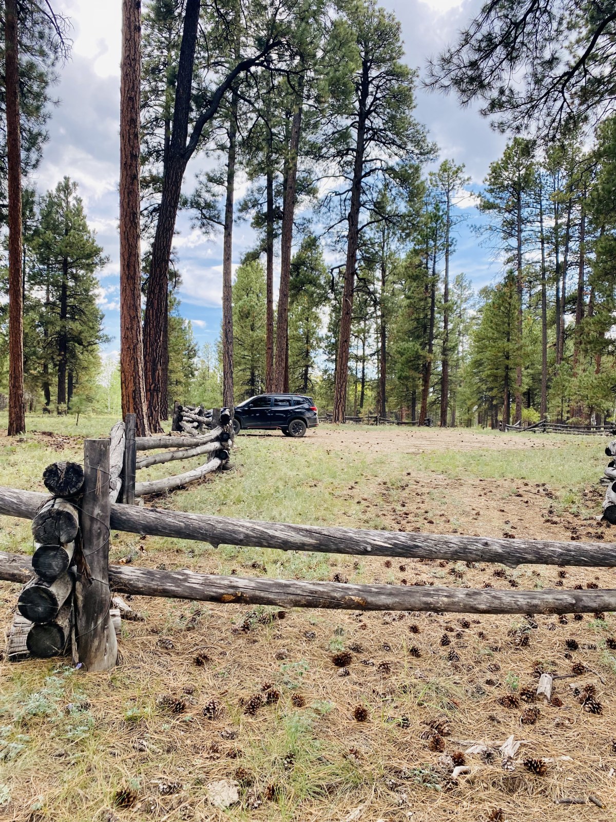
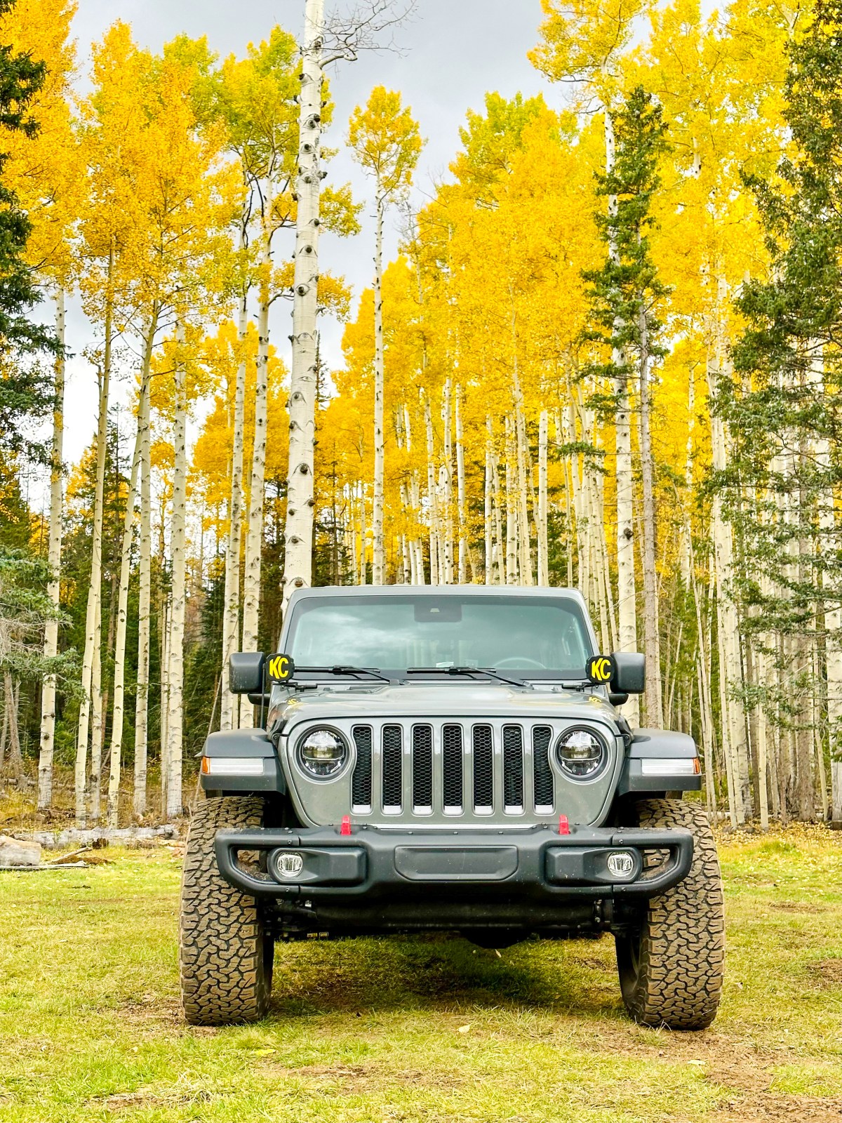
Reaching the trailhead requires driving several miles on dirt forest roads. These roads are not regularly maintained and can be rough in spots, so we recommend having a vehicle with all-wheel or four-wheel drive and good clearance. Cell service is not available in this area, so plan ahead and download offline maps before you go.
Best Time to Visit: Late September for early color, or the first week of October for peak aspen foliage.
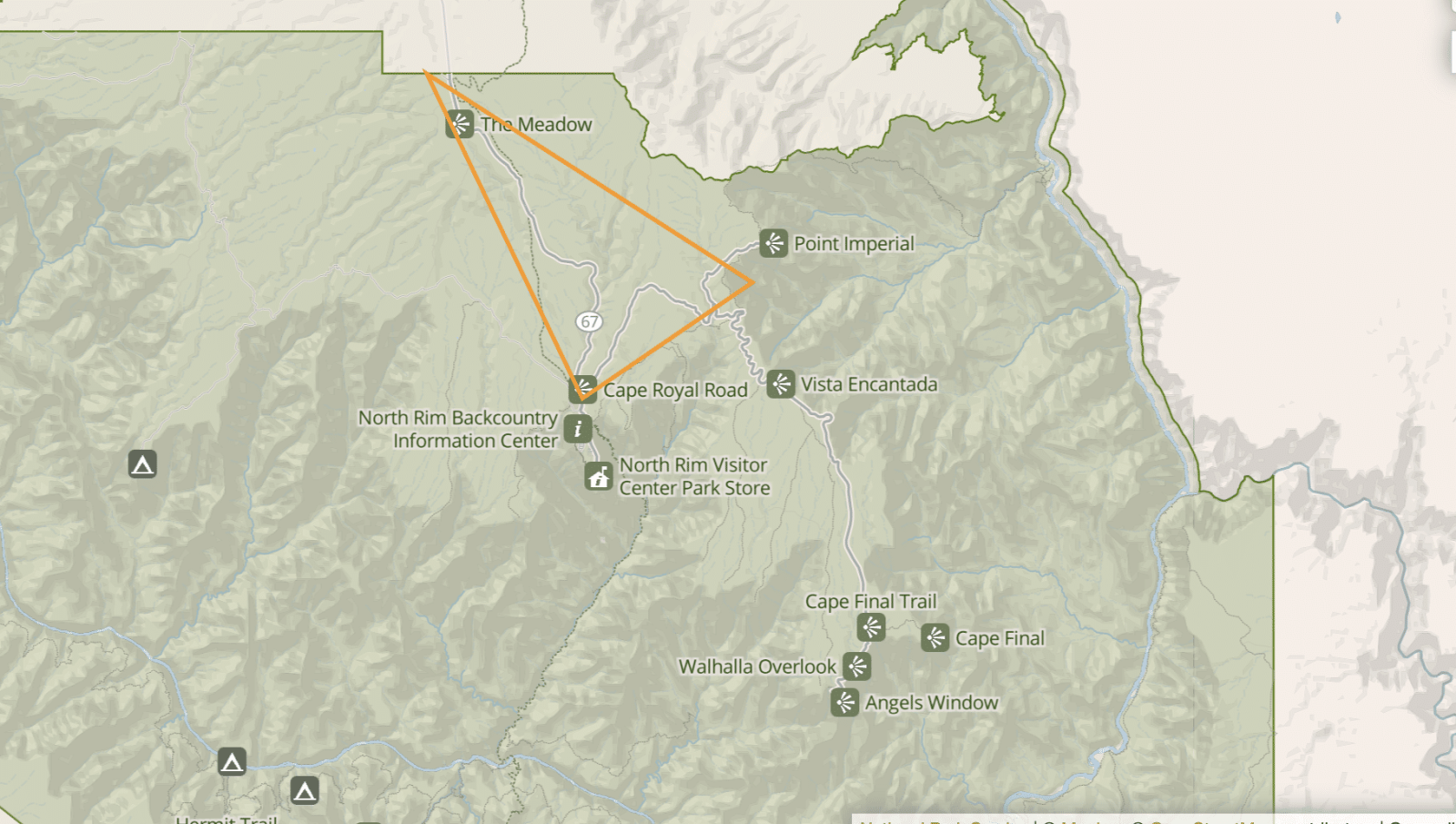
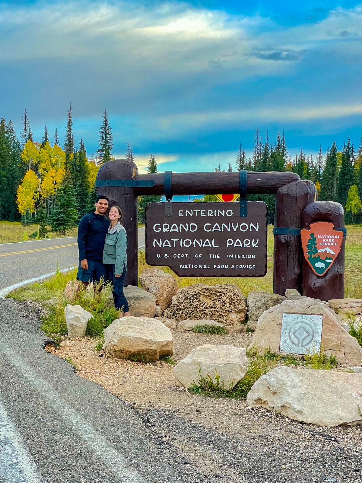
This is one of our favorite places to visit in the fall! During the final days of September and usually through the first week of October, the aspens here are truly showing off — and there are a lot of them. We first stopped by briefly in 2021 after hiking Lookout Canyon, and then started our Rim to Rim hike from here in early October 2022. Just driving into the park is spectacular, but for even more color we recommend driving Cape Royal Road. We have done this drive in the summer and hope to return in the fall to see it at peak color.
Important to note: The Grand Canyon North Rim Lodge and all visitor services close for the season on October 15. Highway 67 also closes for the winter and is not plowed.
2025 Closure Update: Due to the Dragon Bravo Fire in July 2025, the North Rim is closed for the remainder of the season. Check the National Park Service website for reopening updates before planning a trip.
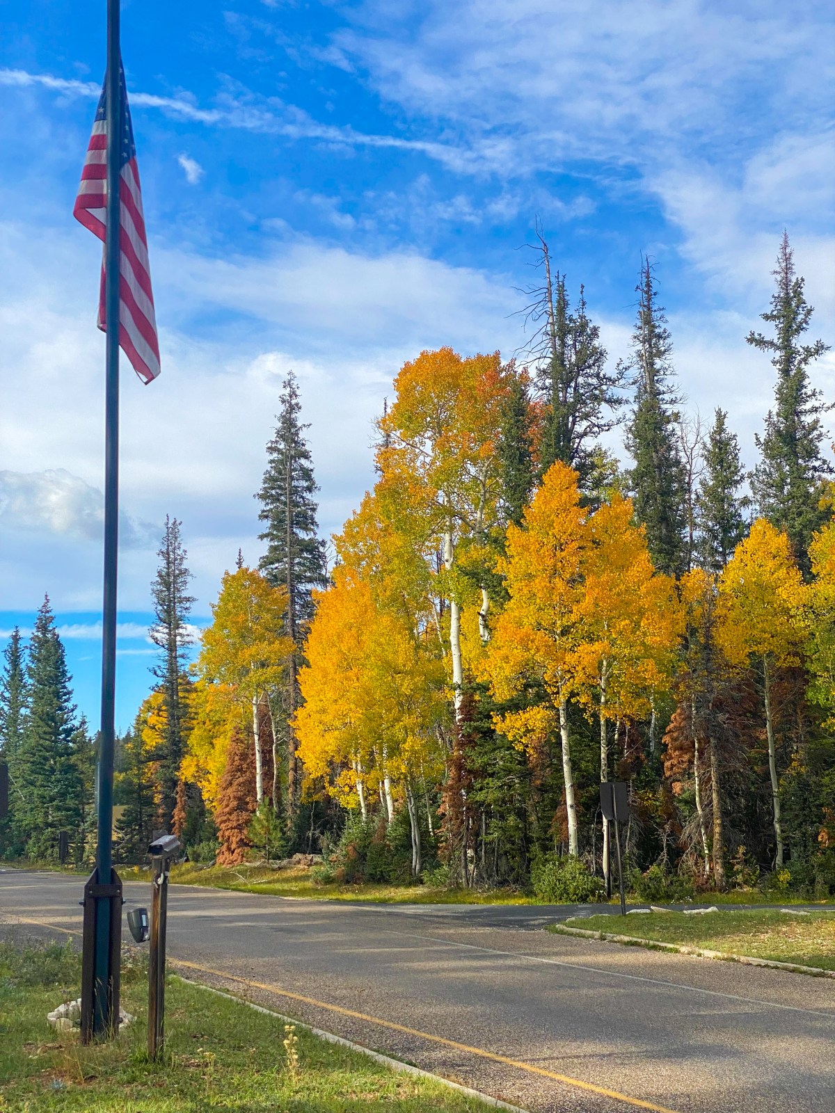
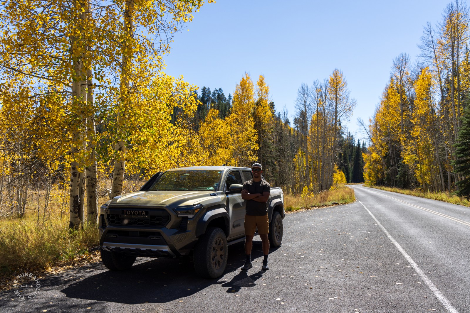
2024 Update: We camped at Jacob Lake Campground from October 4–6, 2024. By then, many of the aspen trees had already lost their leaves, but there were still plenty of colorful groves scattered throughout the forest. We explored much of Cape Royal Road and also drove out to the Rainbow Rim Trail.
Within the orange triangle on the map, you will find entire hillsides blanketed with aspen trees — a sight you will never forget!
Best Time to Visit: Late September through the first week of October for peak aspen color.
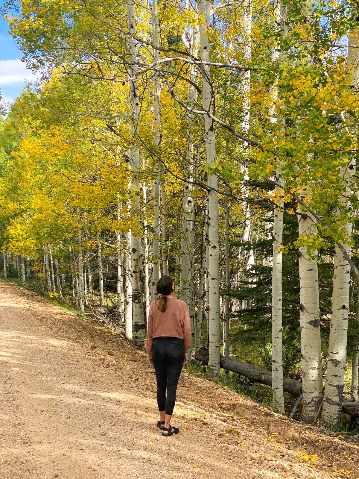
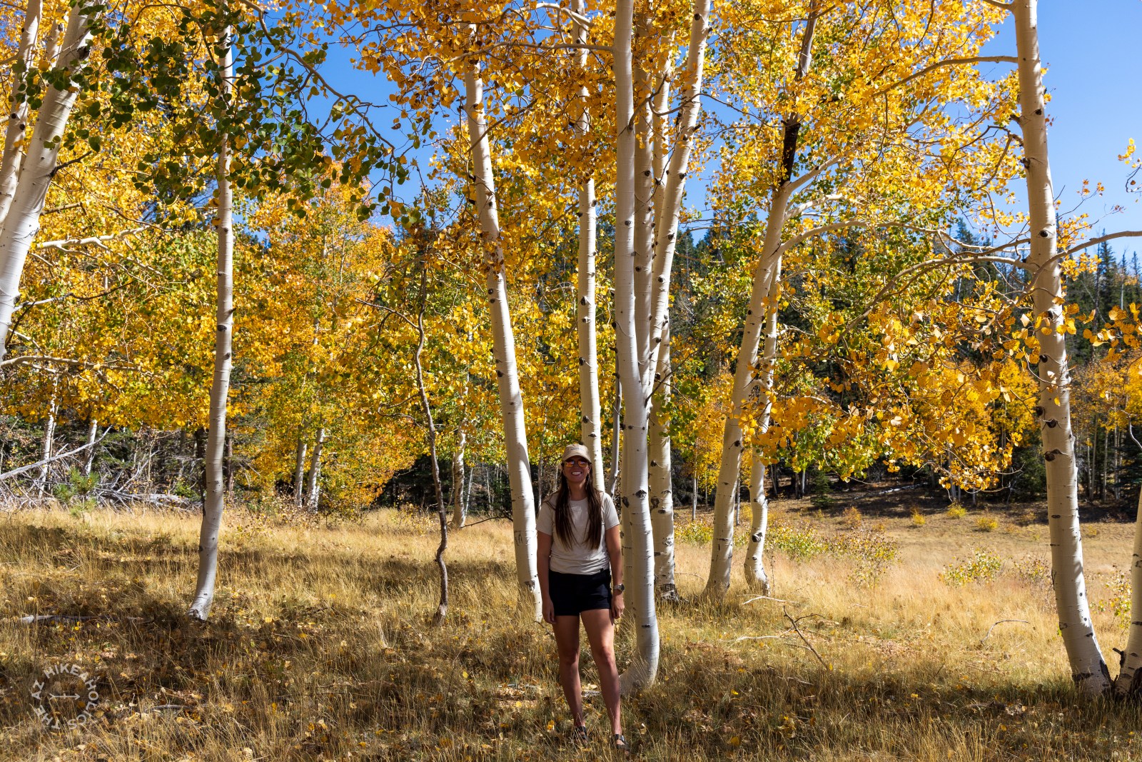
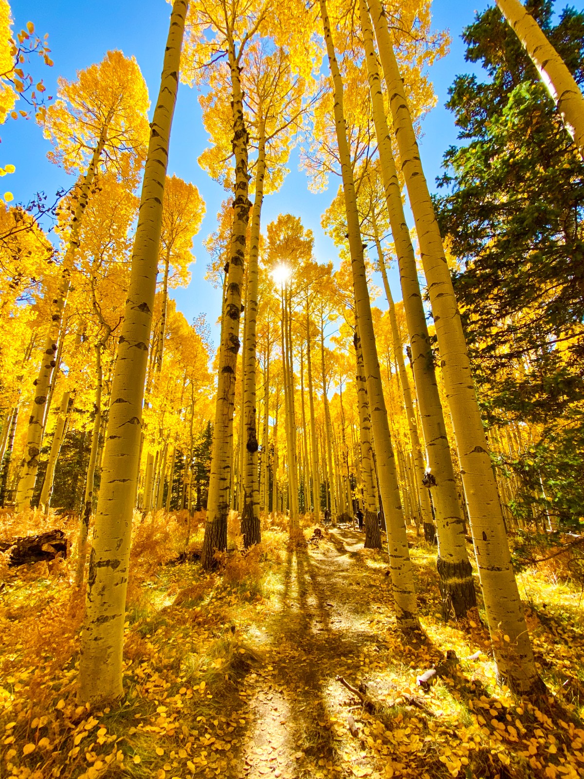
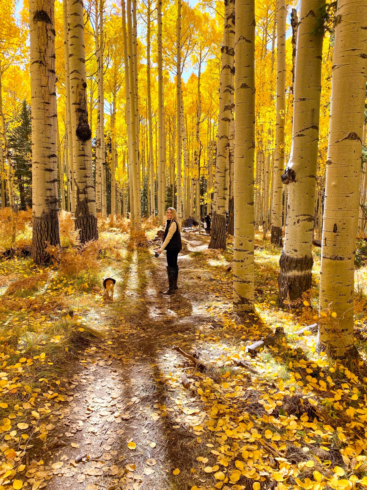
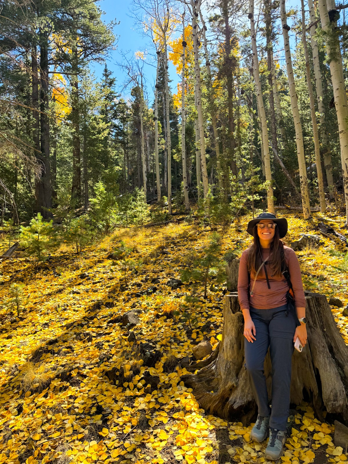
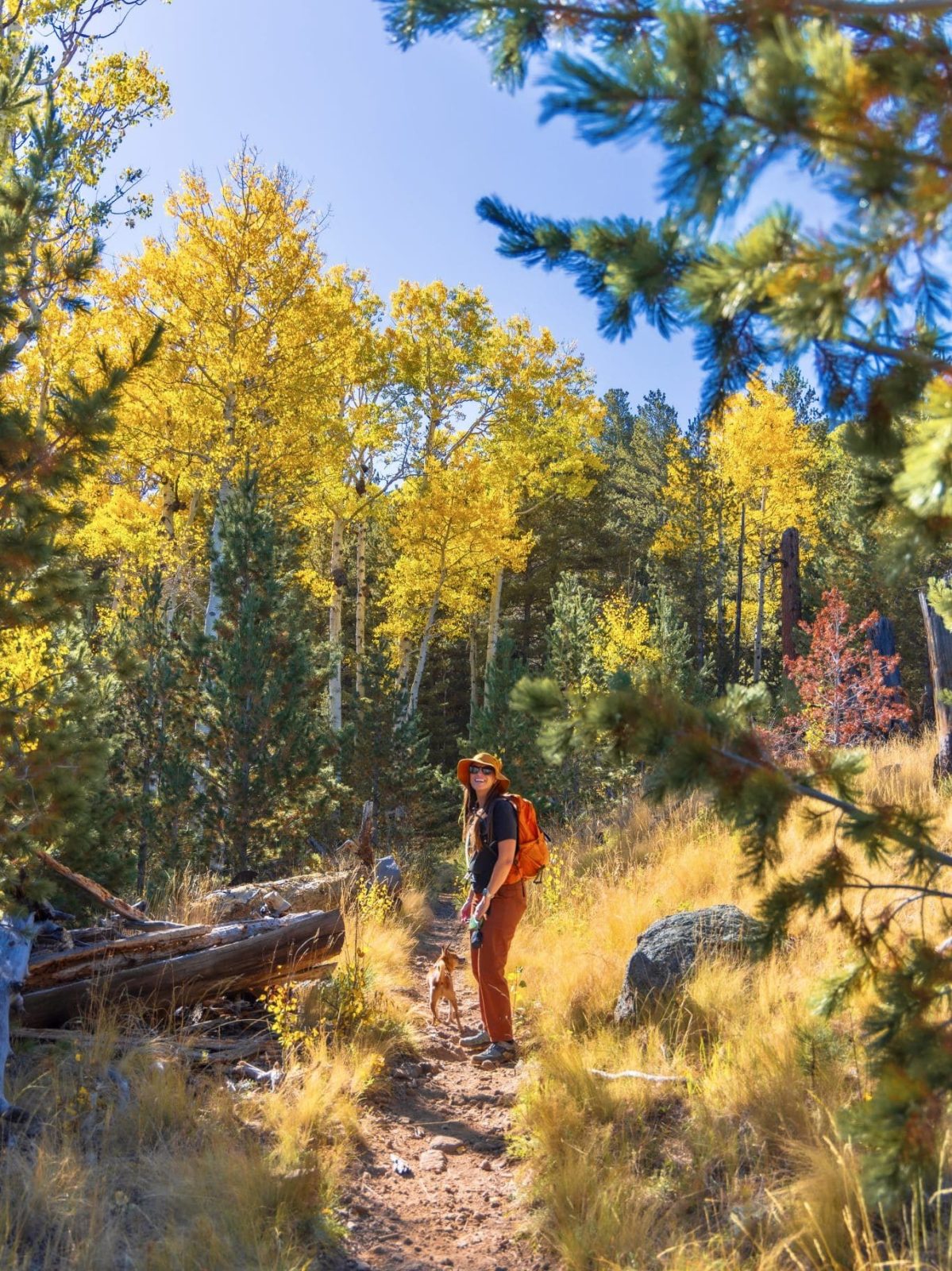
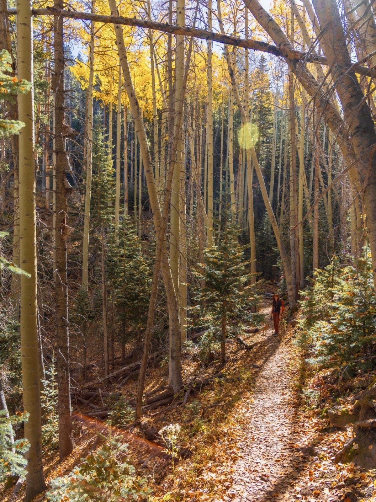
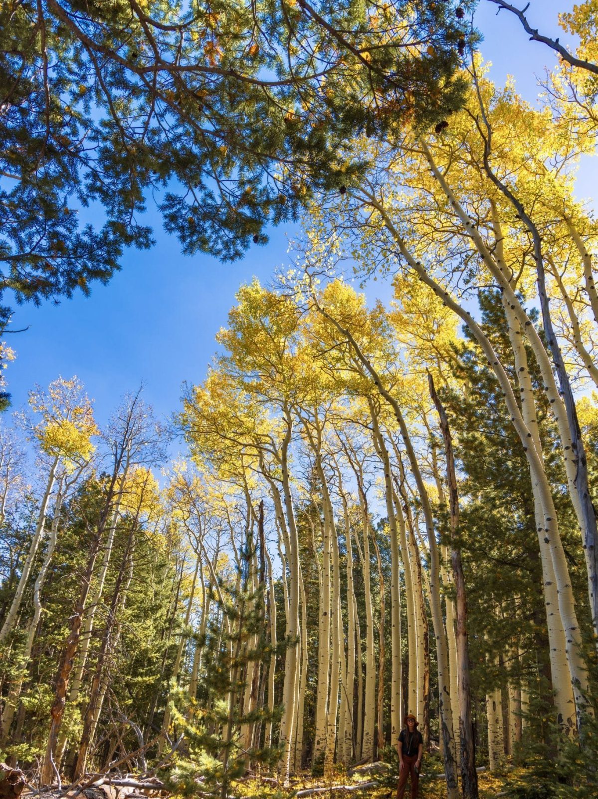
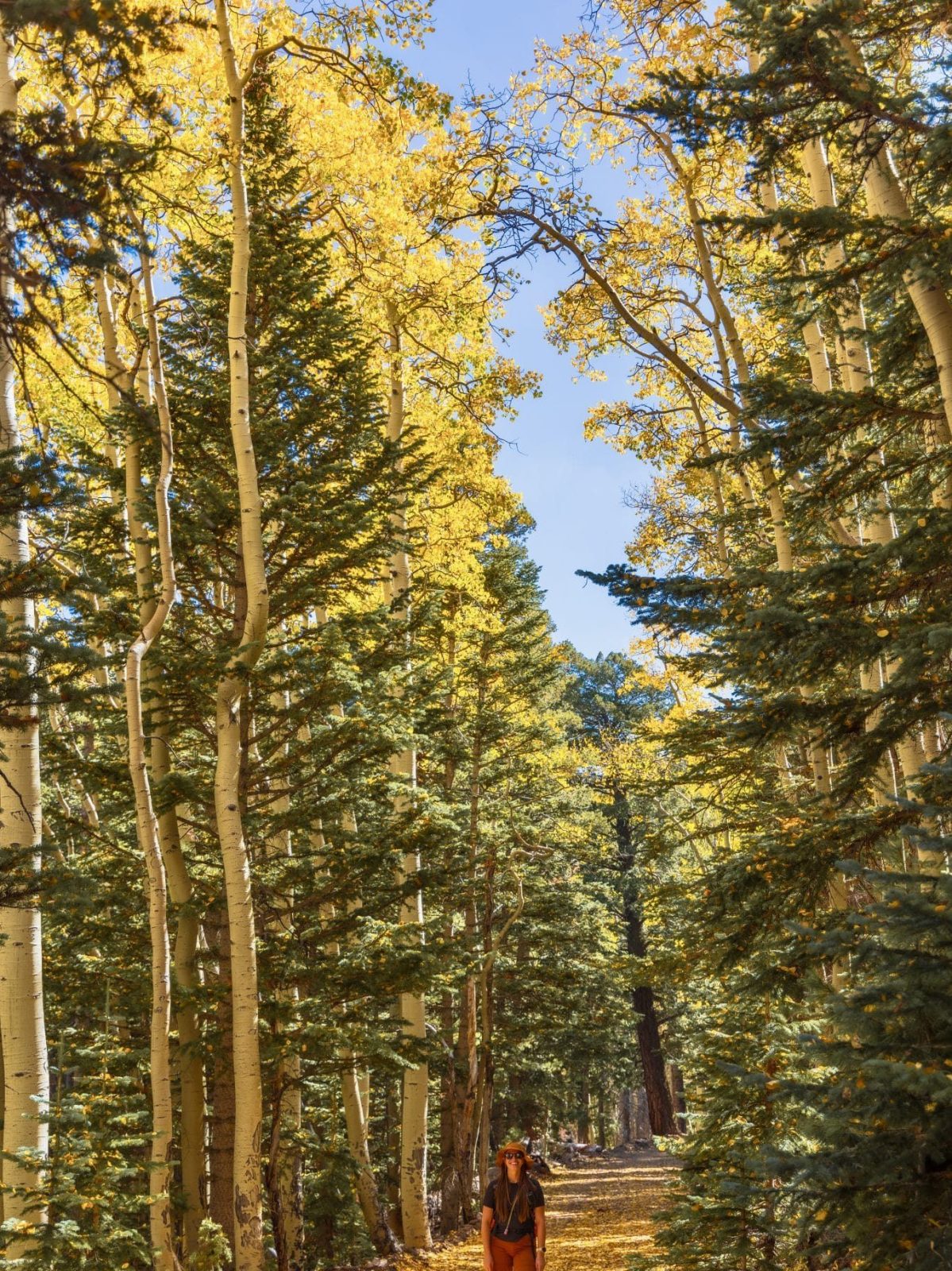
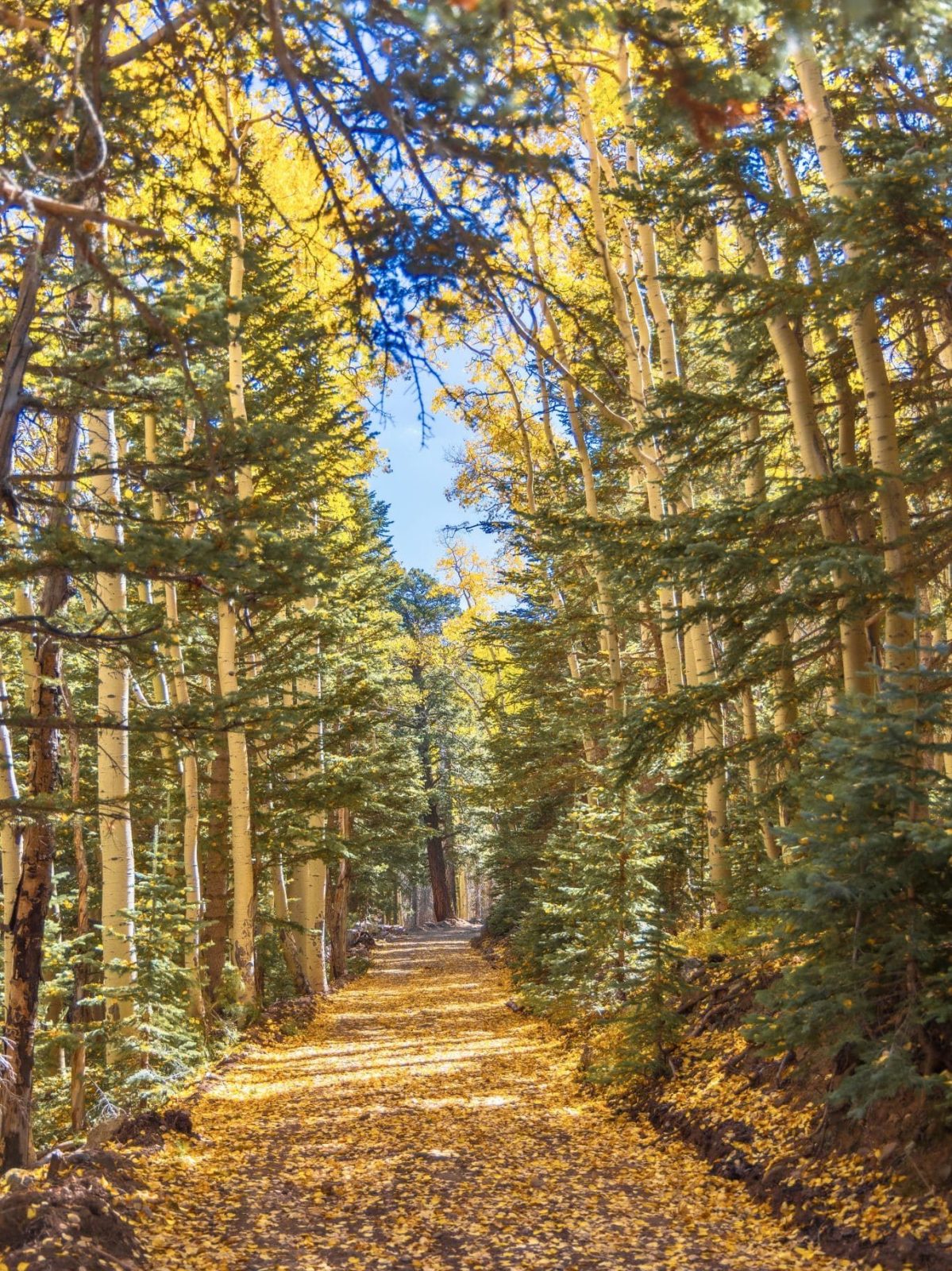
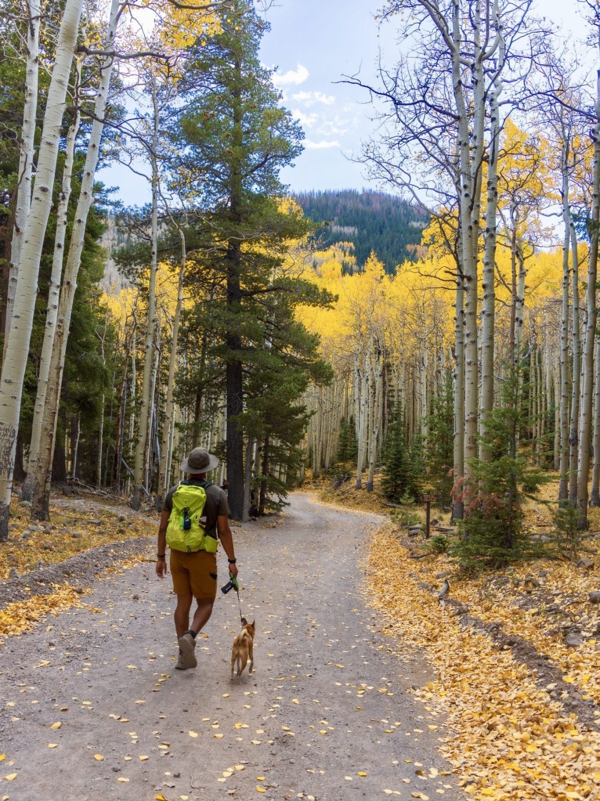
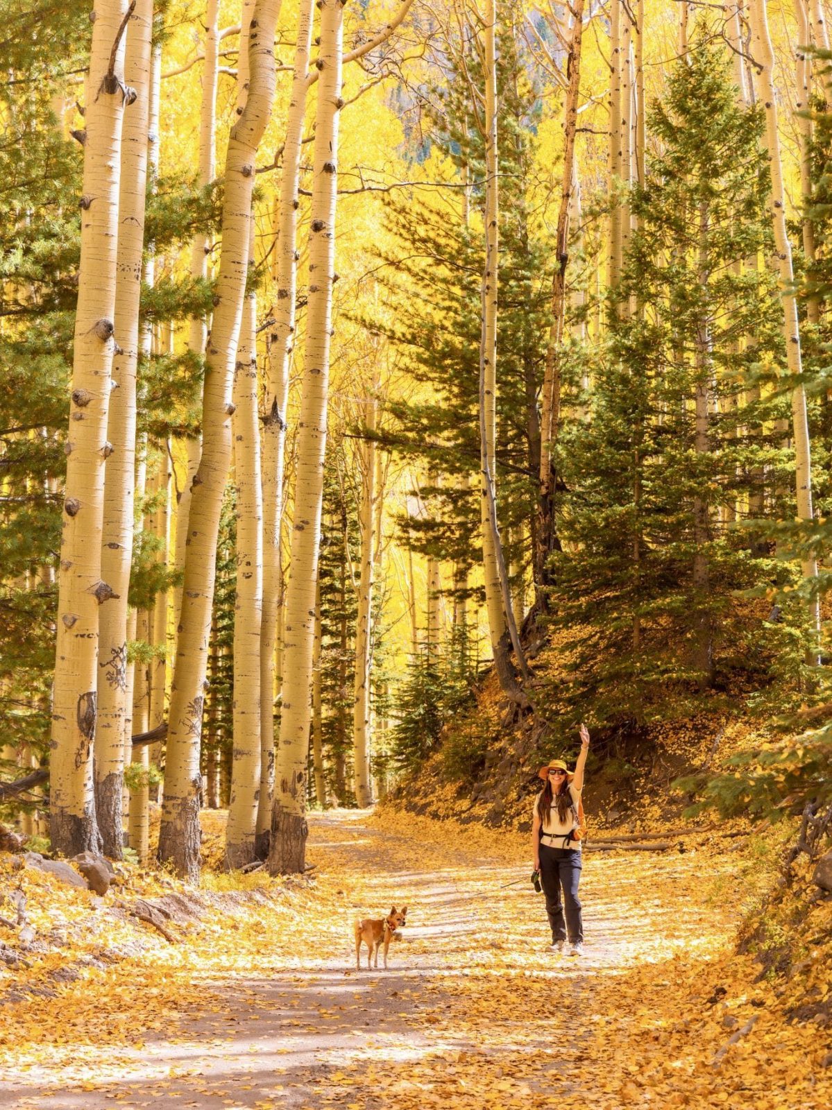
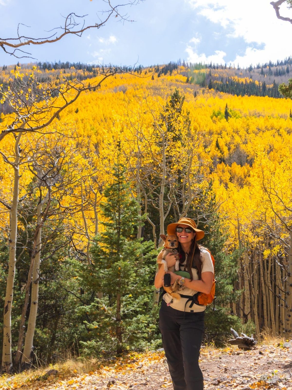
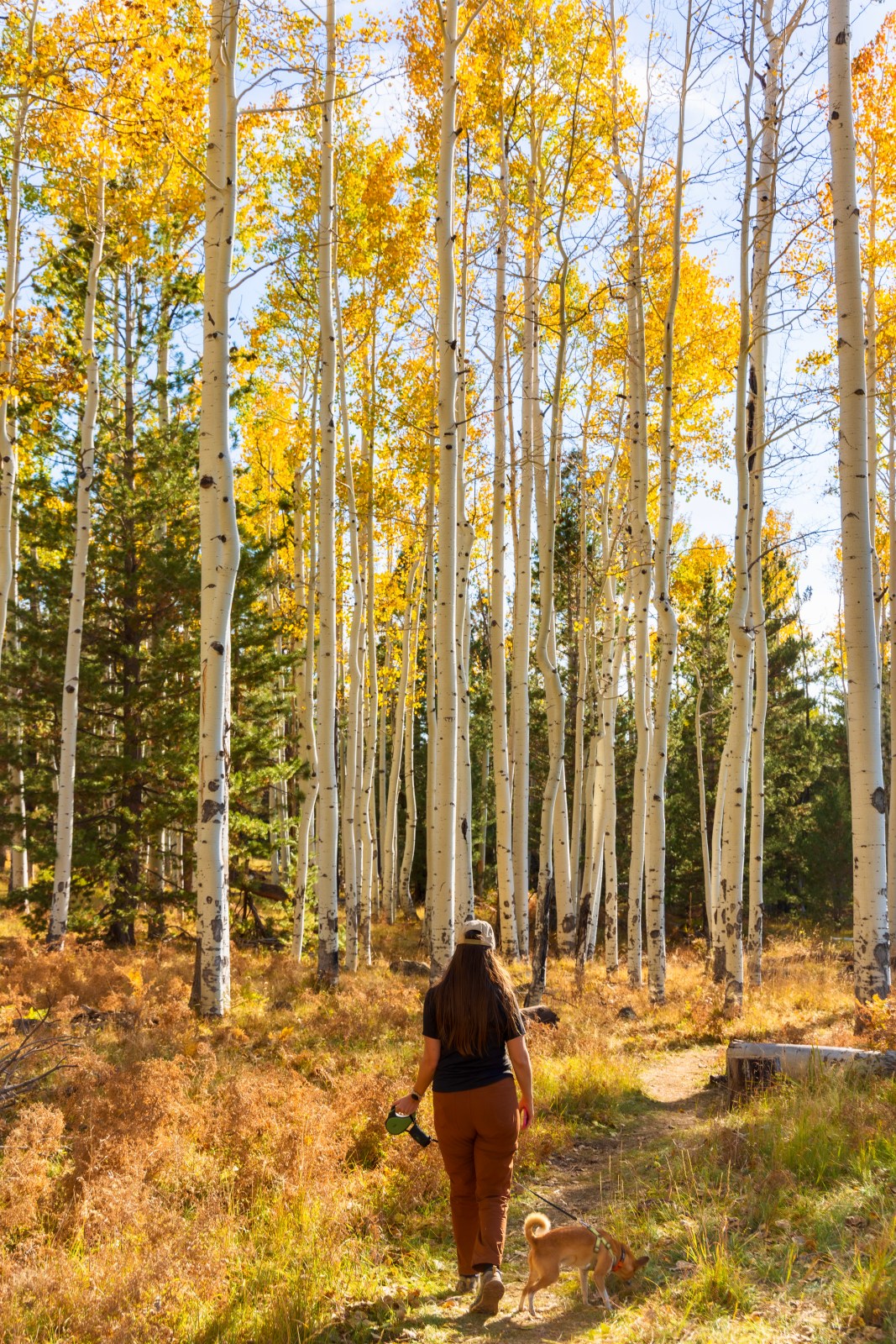
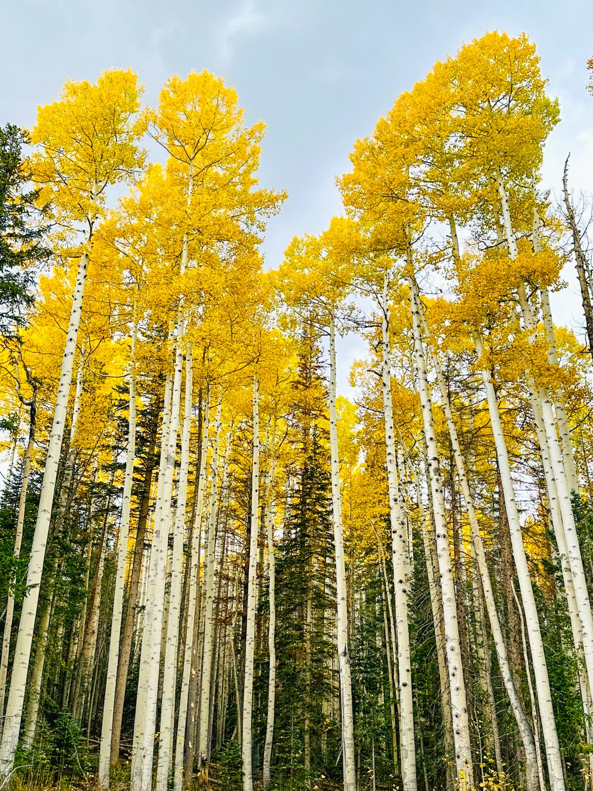
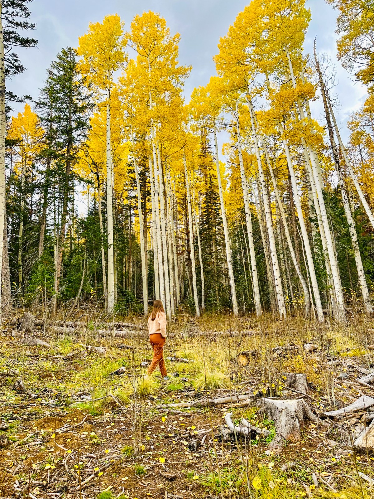
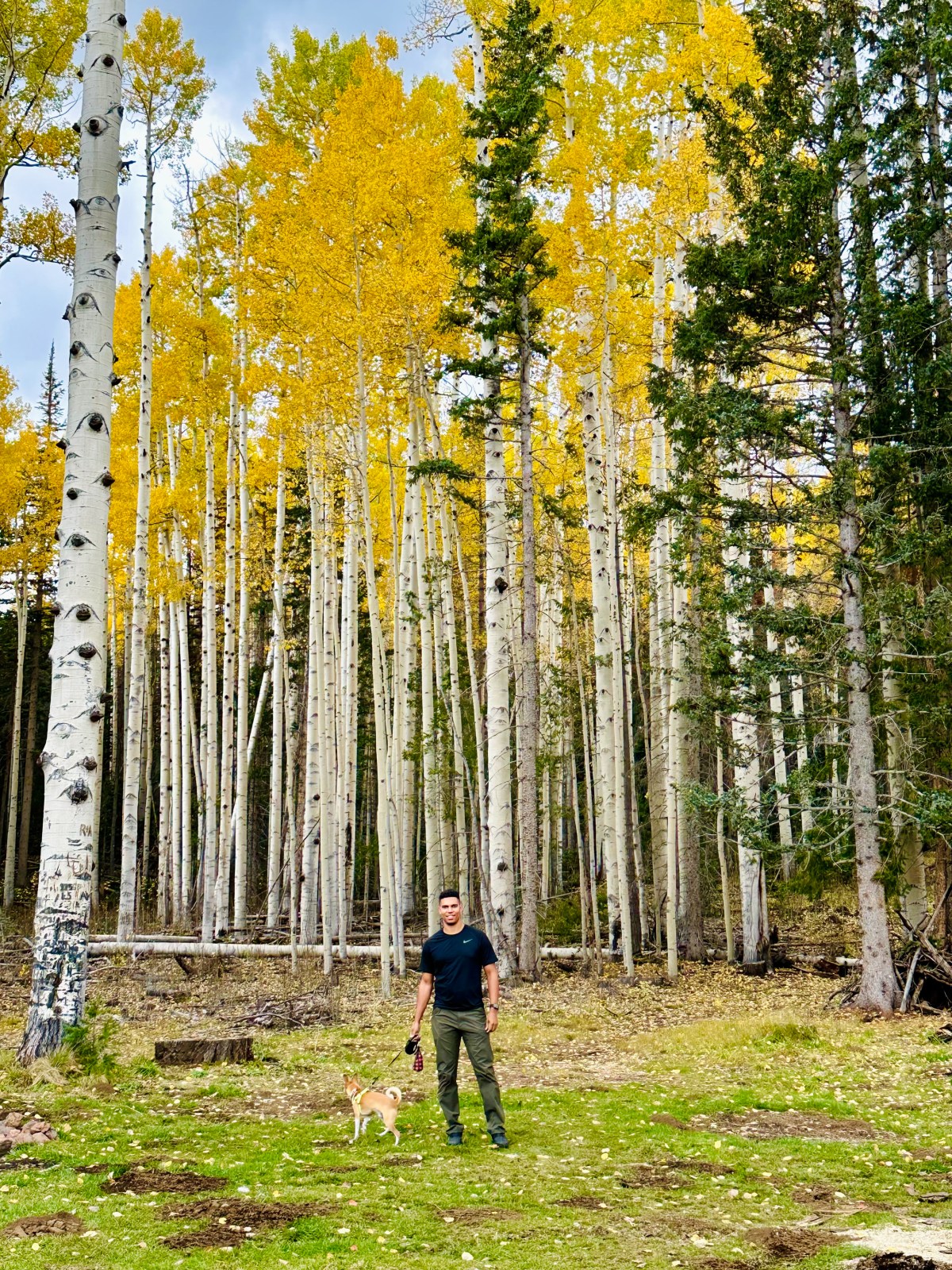
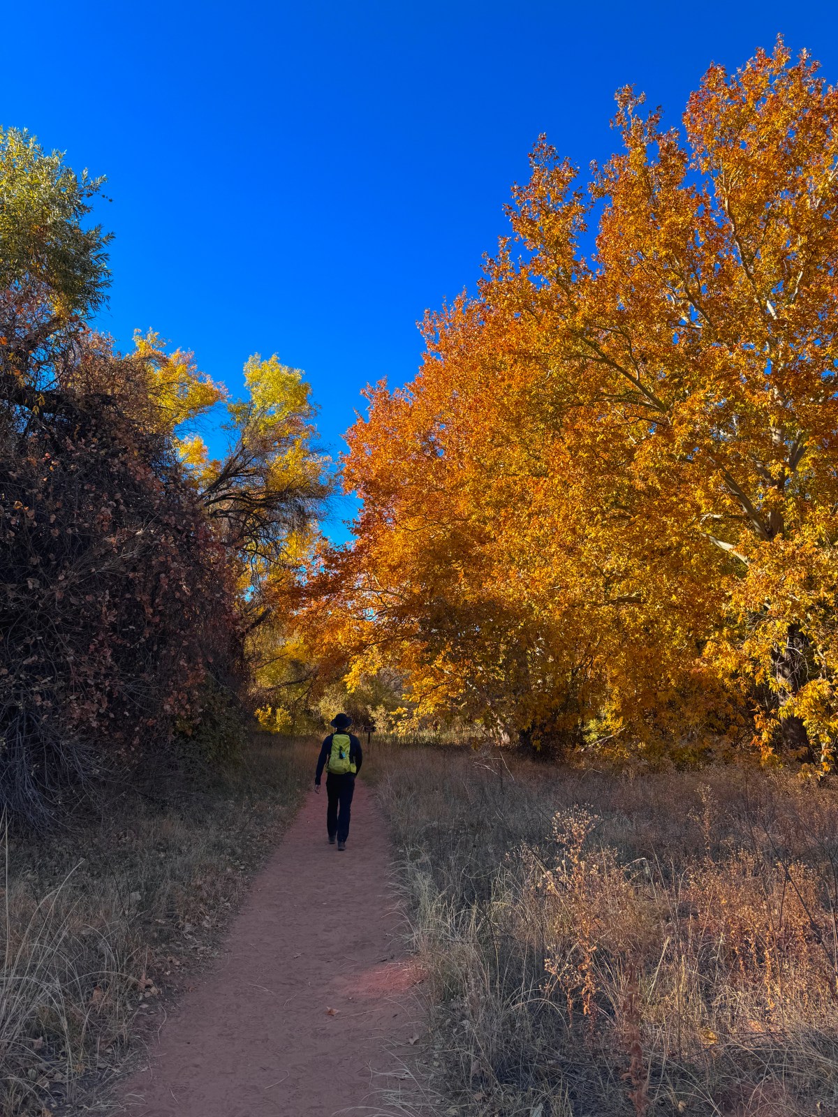
The Aspen Nature Loop is one of the most popular trails in Flagstaff thanks to its large parking area and easy, family-friendly path. The trail offers beautiful aspen groves, but please do not carve into the trees or shake branches to make leaves fall for a photo. Leave the trees as they are so everyone can enjoy them.
Aspens here typically reach their peak color around mid October. For up-to-date conditions, check Flagstaff’s Leaf-ometer, which tracks color changes around the area.
Our first time hiking this loop was in the latter half of October 2023, which was a little late for peak fall colors. There were still some leaves hanging on, and the fallen leaves covered the trail in golden color. Peak fall colors in this area are usually around mid October.
The trailhead is accessed via a forest road, so we recommend a vehicle with high clearance and all-wheel drive depending on road conditions.
2024 Update: We returned on October 12, 2024, and the aspen leaves at lower elevations had not quite changed yet. However, the higher portions of the trail near the Waterline Road had already turned and some leaves had started to fall.
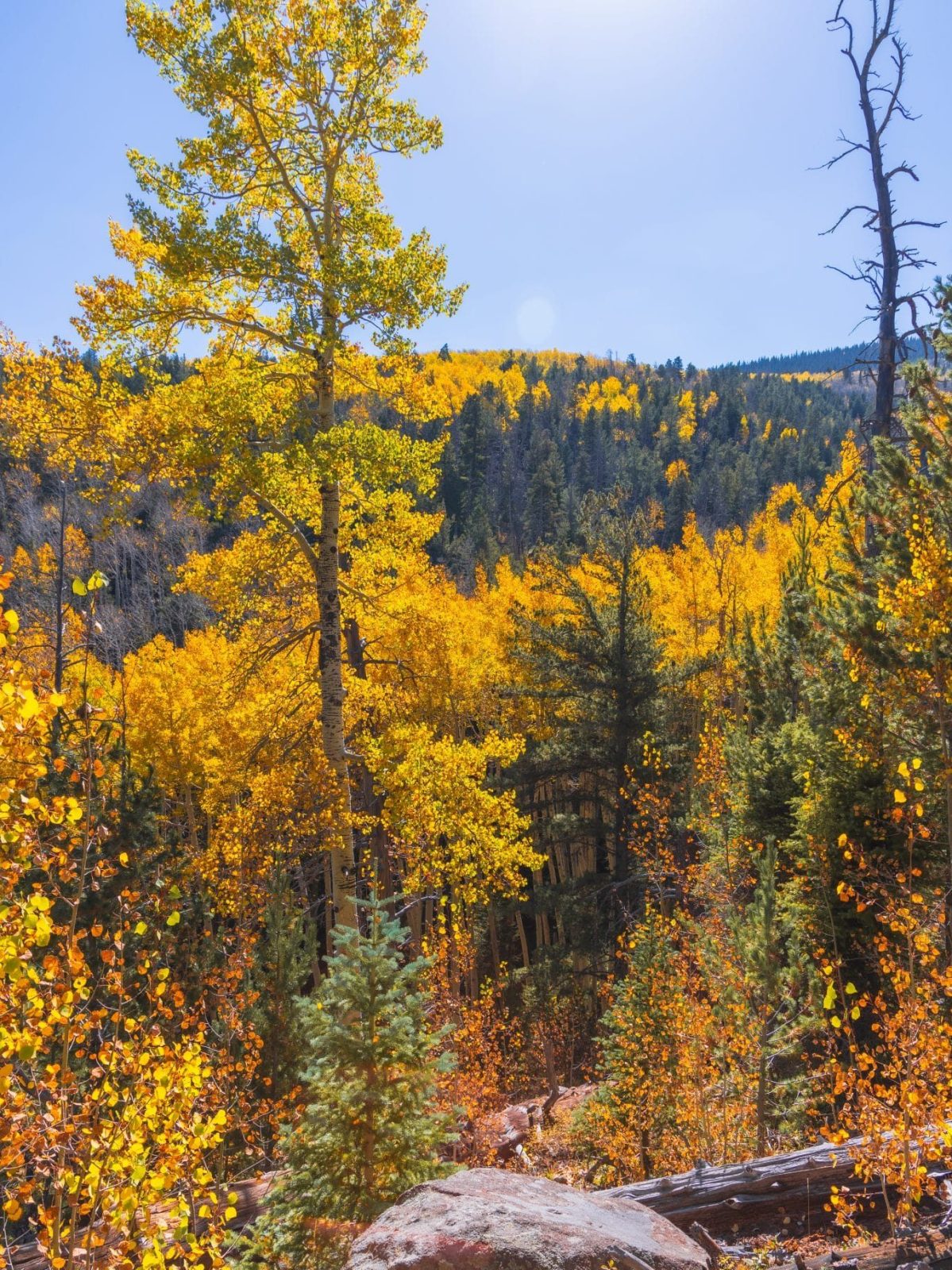
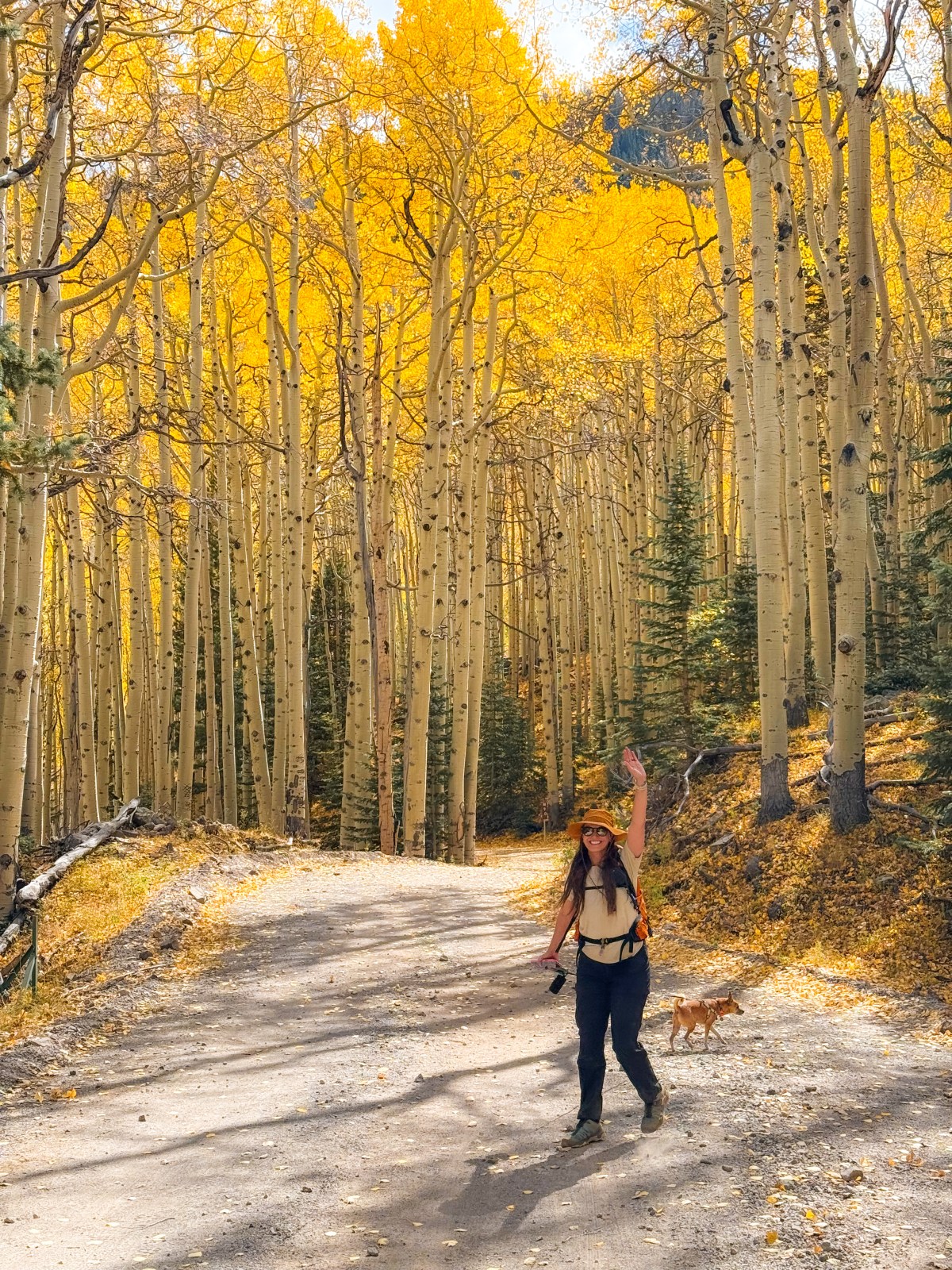
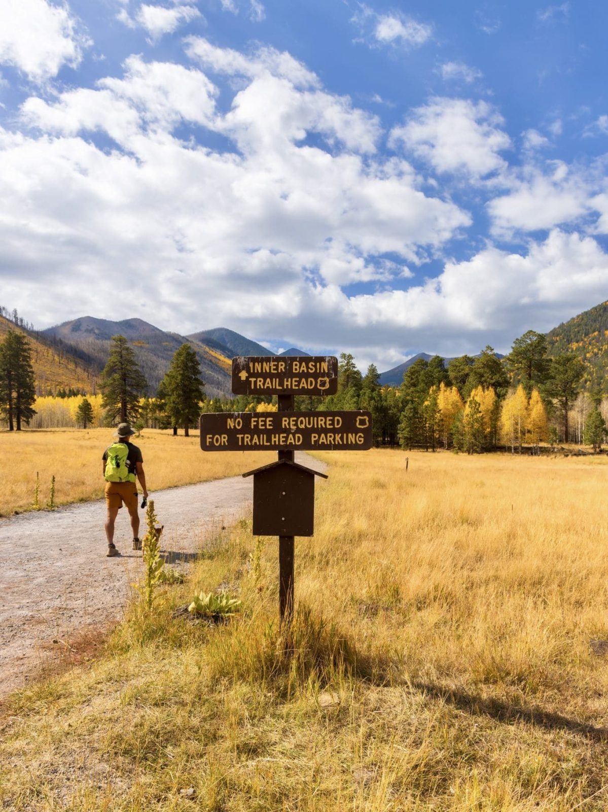
Before a summer wildfire impacted the surrounding area, Inner Basin Trail was one of the most popular fall hikes in Flagstaff. The trees are still doing well, but you can no longer drive directly to the trailhead — you must now hike to it along the forest road, which adds about 6 miles round trip. Like the rest of the aspens in the San Francisco Peaks area, peak color here is usually around mid October.
2024 Update: This is a long hike, and the forest road portion is hilly with little shade depending on the time of day and year. We saw several families on the trail without adequate water or proper footwear, so please consider the length, high elevation, and your timing before starting. The aspens at the start of Inner Basin Trail unfortunately burned in the 2022 Pipeline Fire, but new growth is regenerating, and we hope to see tall groves here again in the future. The best color change we saw was along the final mile of the trail, starting at the switchbacks and continuing up to the Waterline Trail.
Best Time to Visit: Mid October for peak color along the upper sections of the trail.
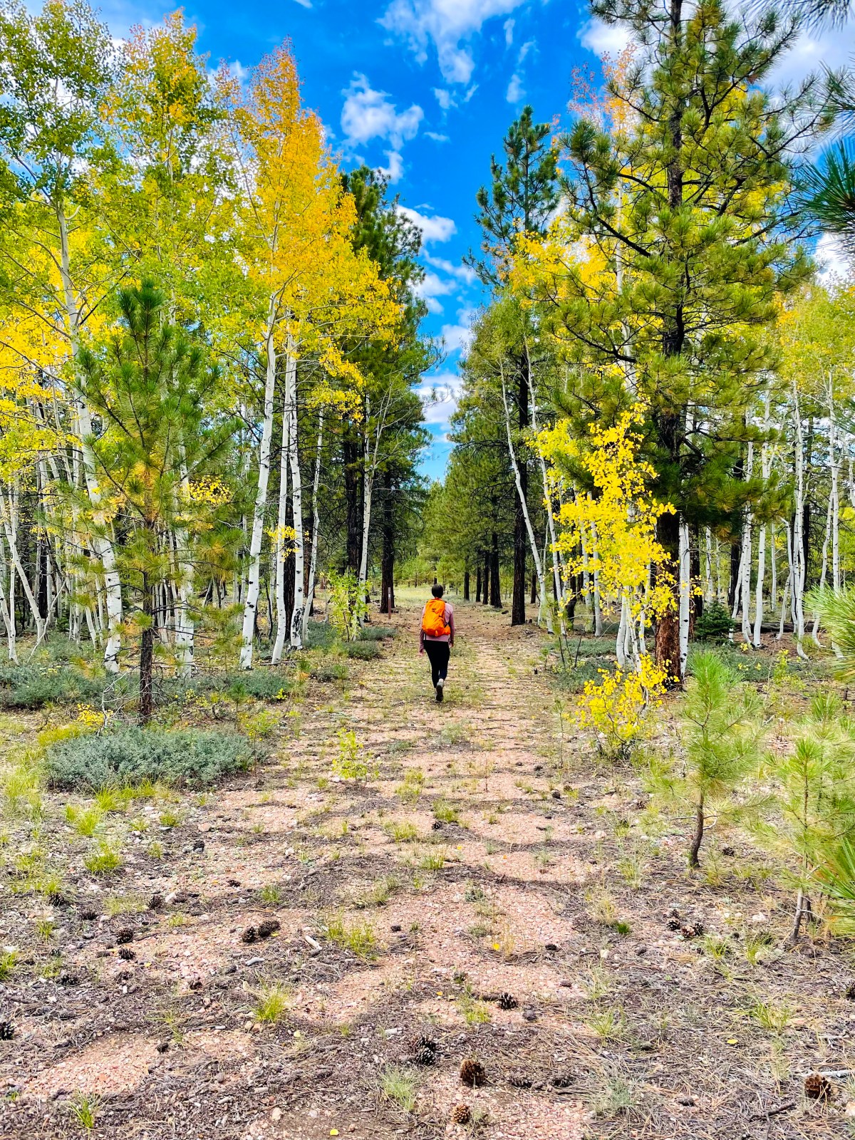
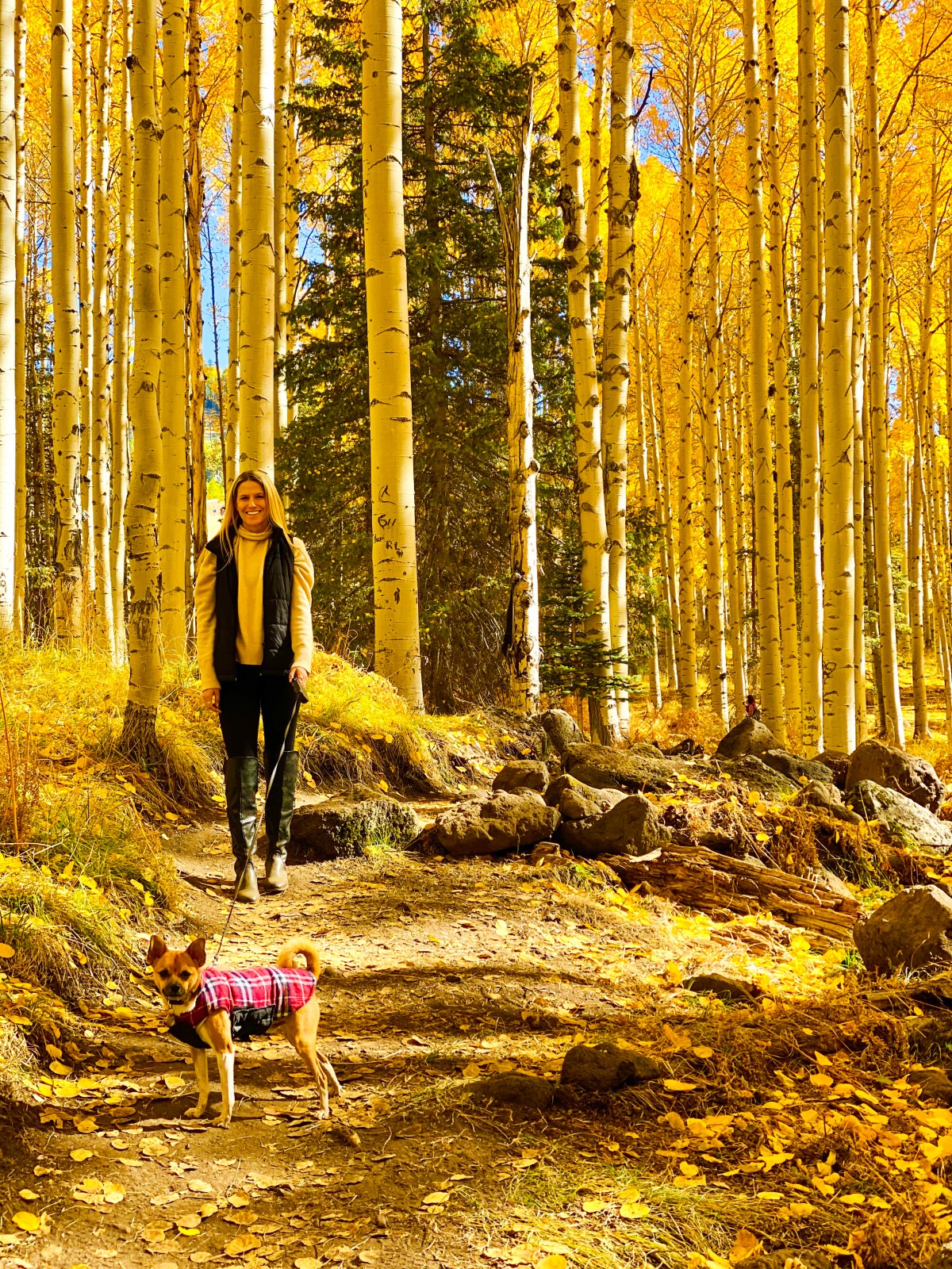
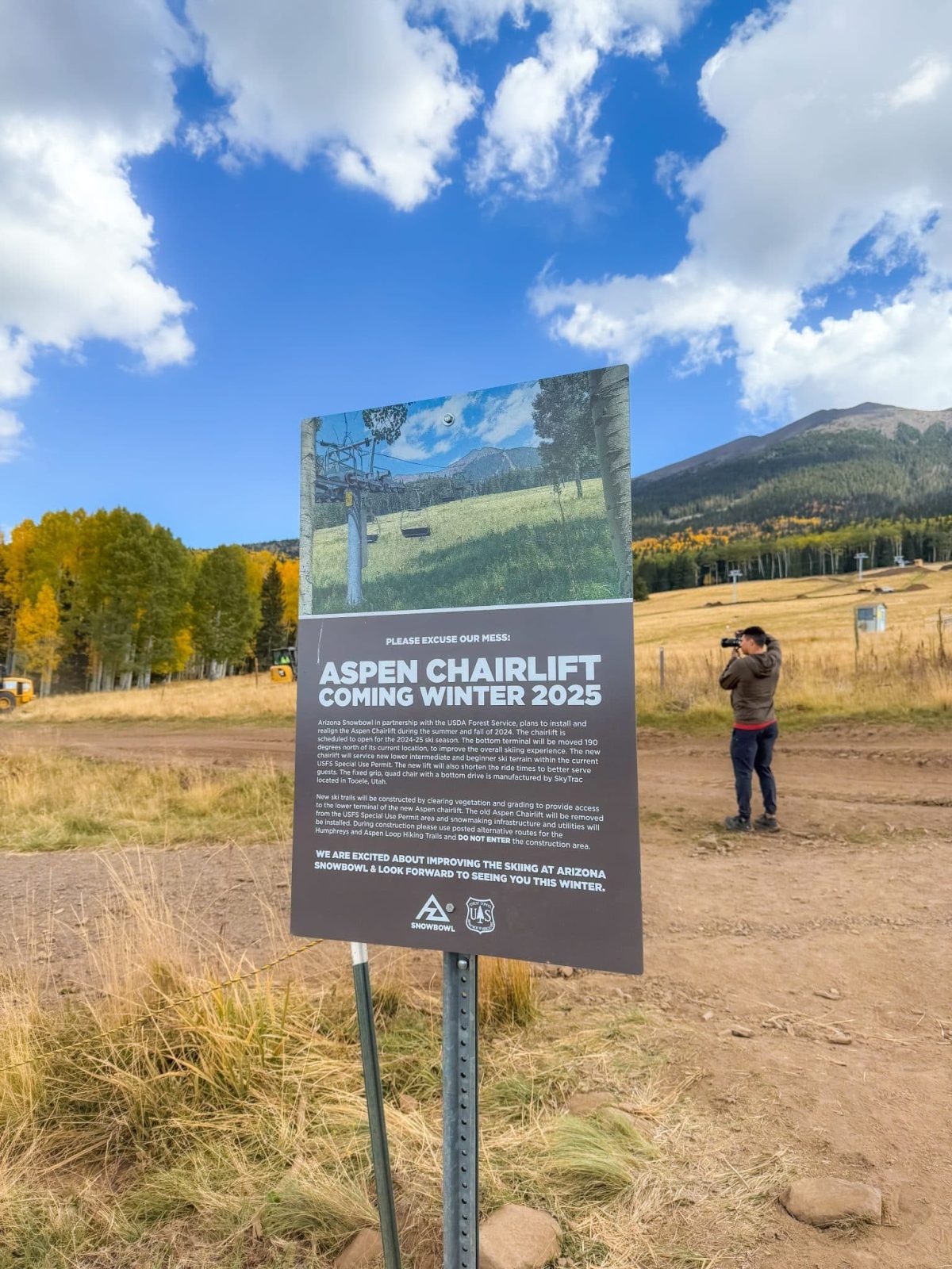
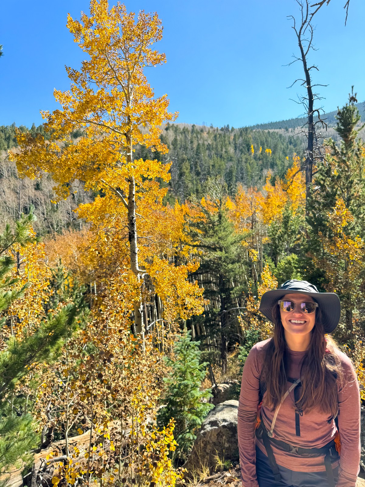
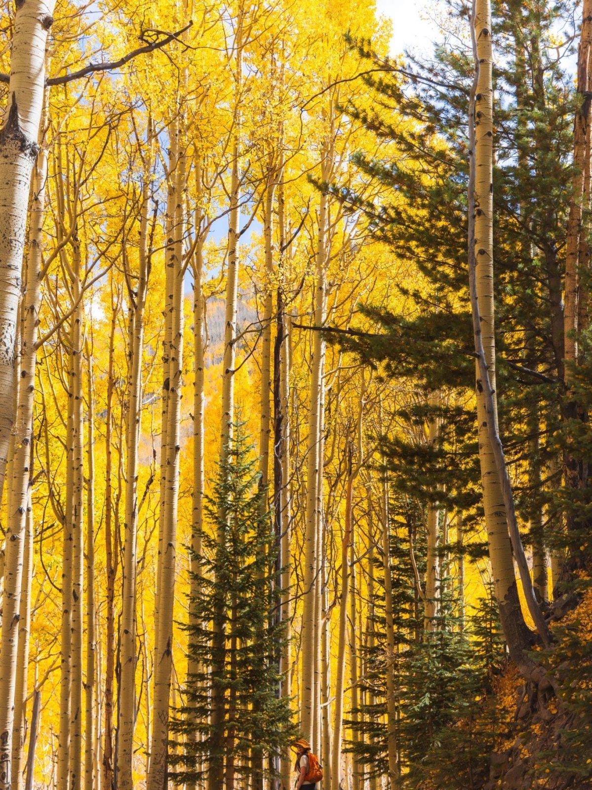
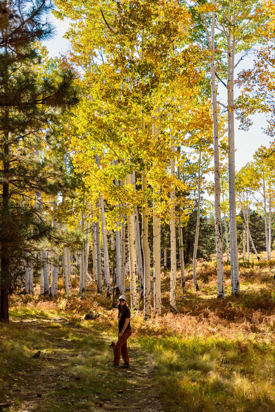
Aspen Corner is a popular fall color spot located just before Snowbowl, with parking available along the side of the road. While Aspen Corner itself is not listed as a trail on AllTrails, there are other trails in the area, including a section of the Arizona Trail that passes through here. You can hike as far or as little as you like, wandering through golden aspen groves with stunning views of the San Francisco Peaks. In mid October, the leaves often create a bright yellow canopy over parts of the trail, making it one of the most photogenic spots in Flagstaff.
Best Time to Visit: Mid October for peak color in the Flagstaff area.
Here is a link to AllTrails that is near Aspen Corner.
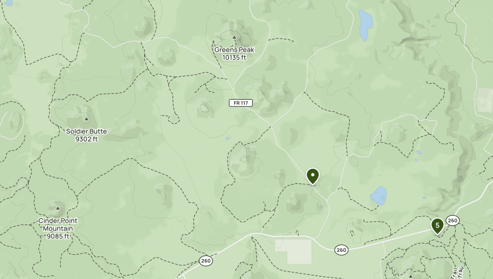
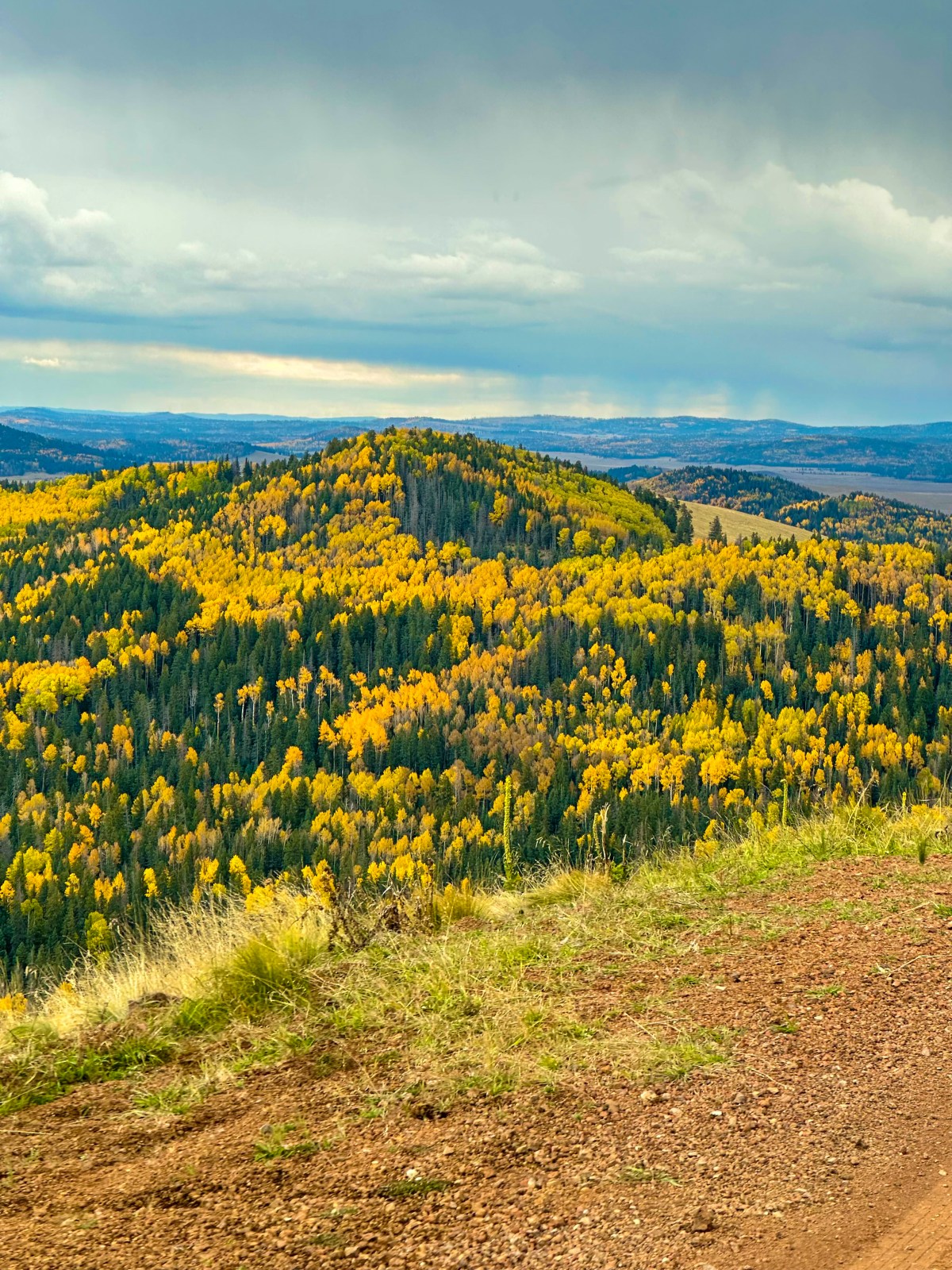
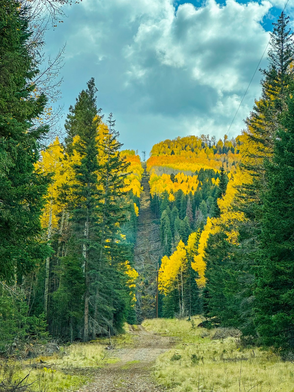
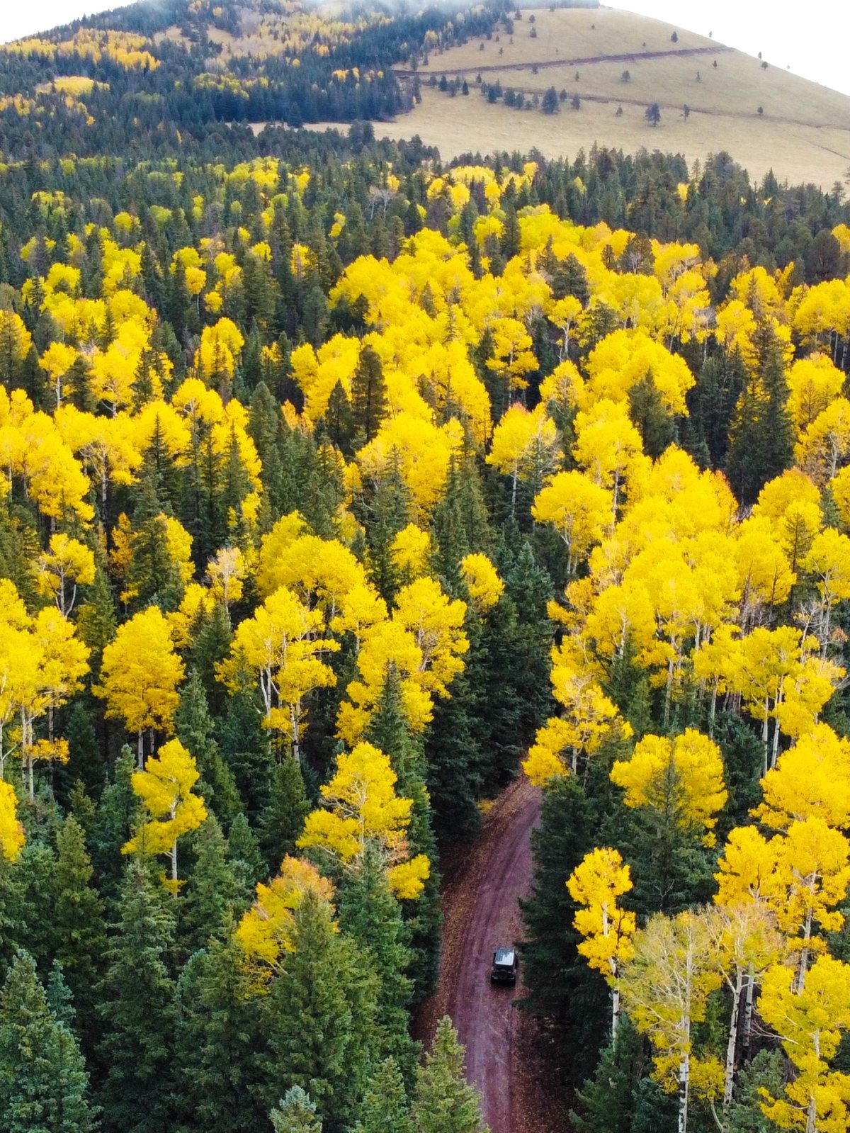
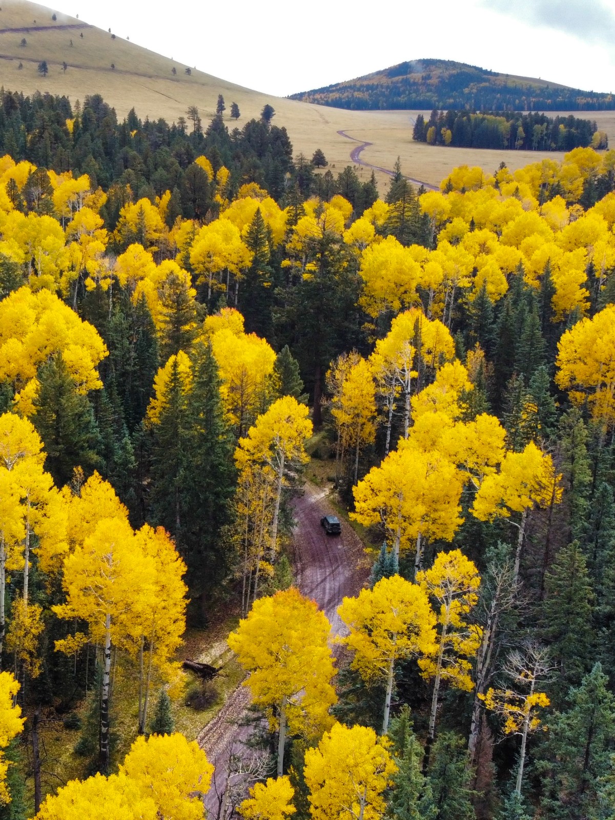
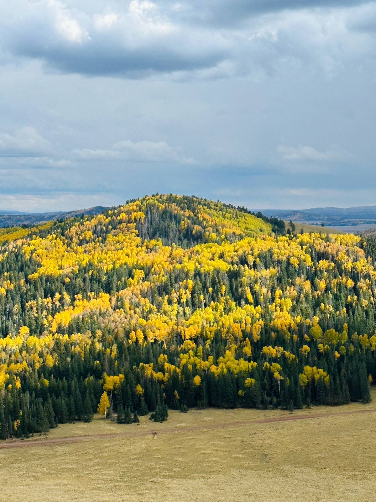
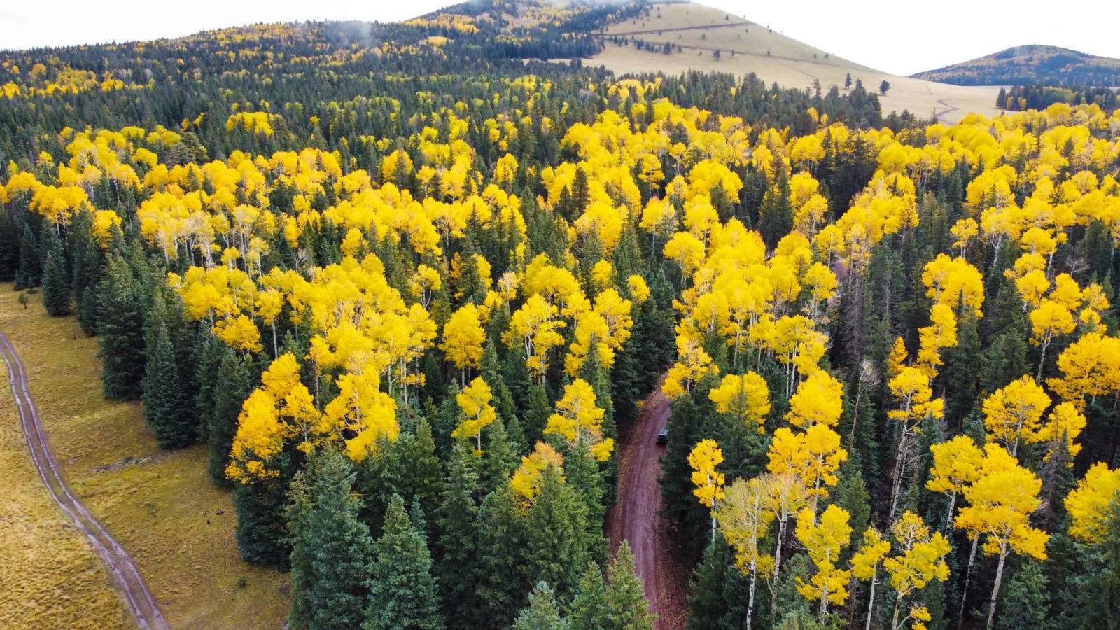
In the White Mountains, you can hike to the top of Greens Peak, where signal towers mark the summit, or drive to the top. We recommend a four wheel drive vehicle with high clearance for the dirt forest road leading up. The area is crisscrossed with forest roads, and we loved spending the day exploring them to find different stands of aspens glowing against the dark green of the surrounding pine forests.
Greens Peak is southeast of Pinetop Lakeside, one of our favorite places to be in the fall. From the summit, you can see rolling hills of forest stretching for miles, dotted with brilliant yellow and orange aspen groves. The mix of crisp mountain air, quiet backroads, and endless fall color makes this a must visit destination in Eastern Arizona.
Best Time to Visit: Mid to late October for peak color.
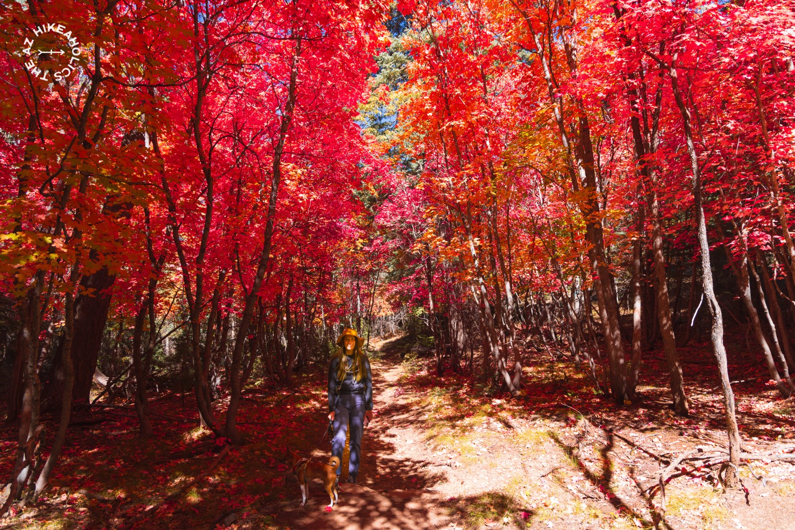
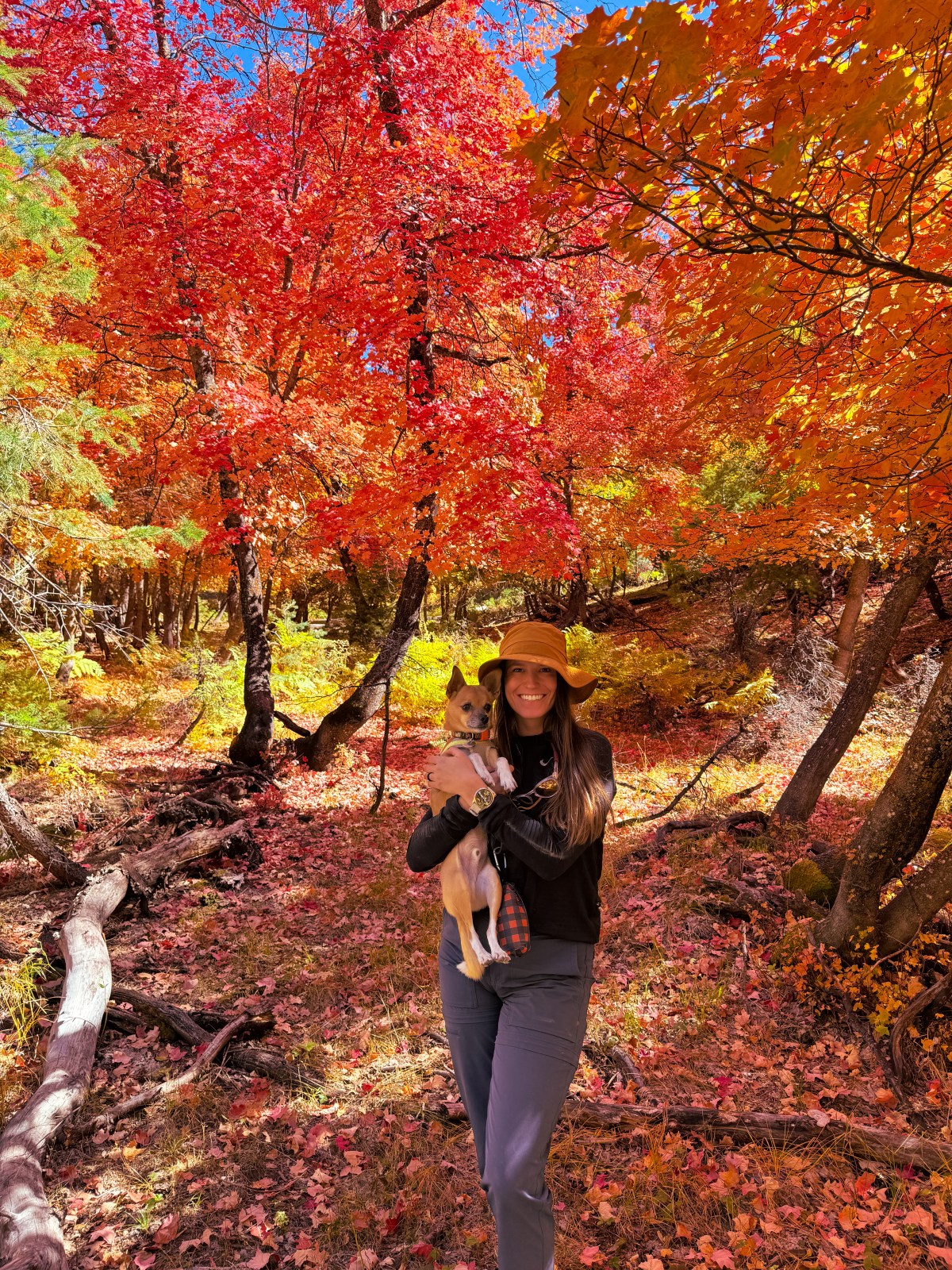
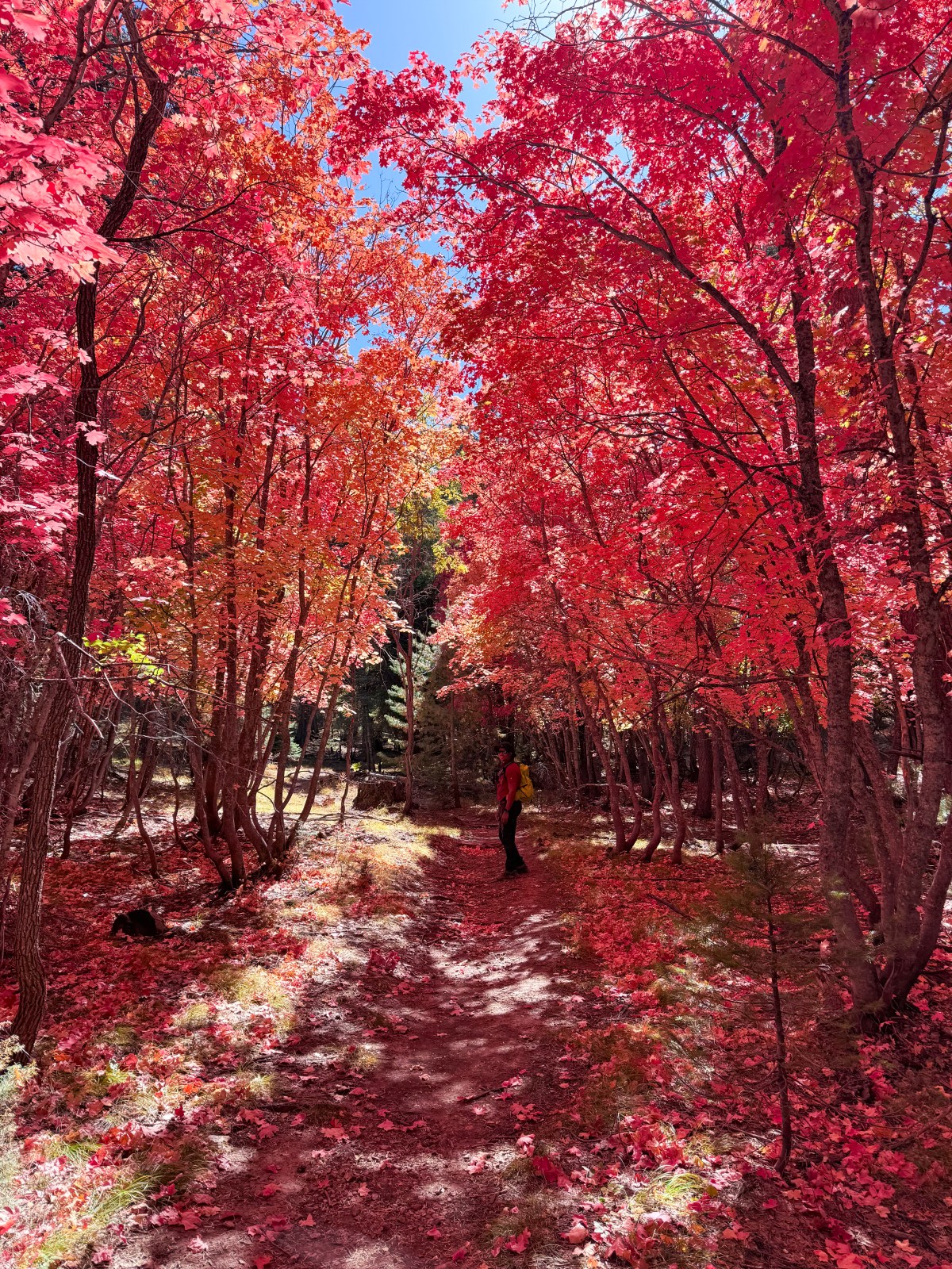
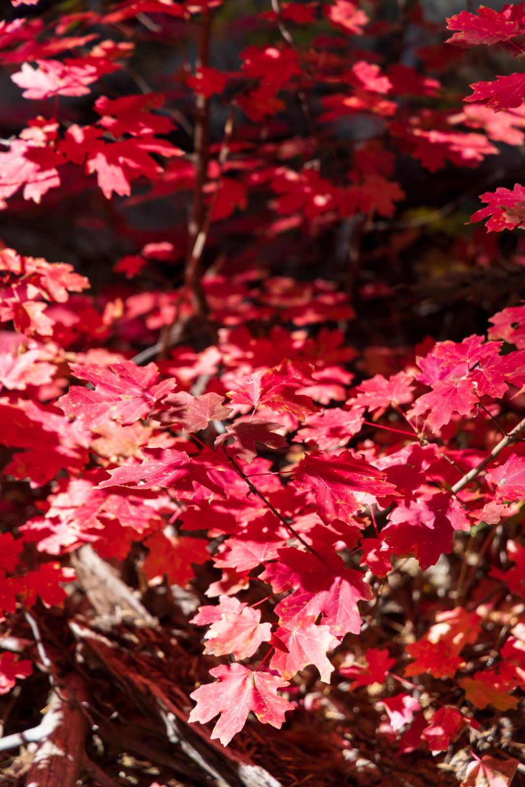
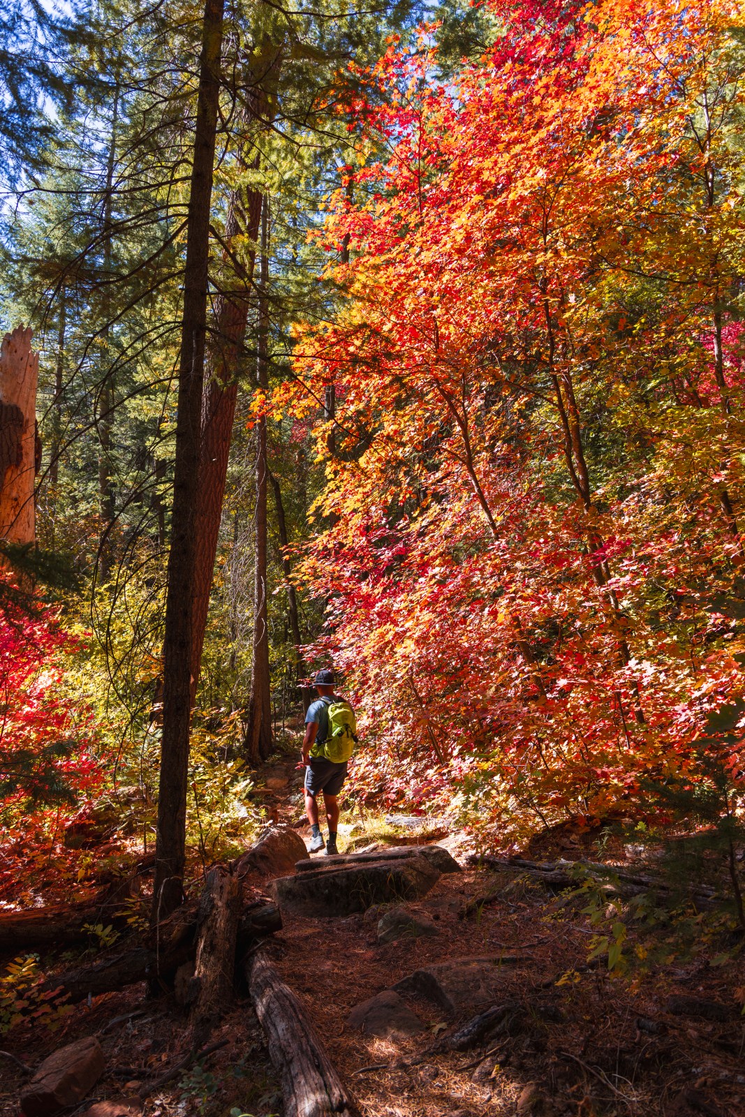
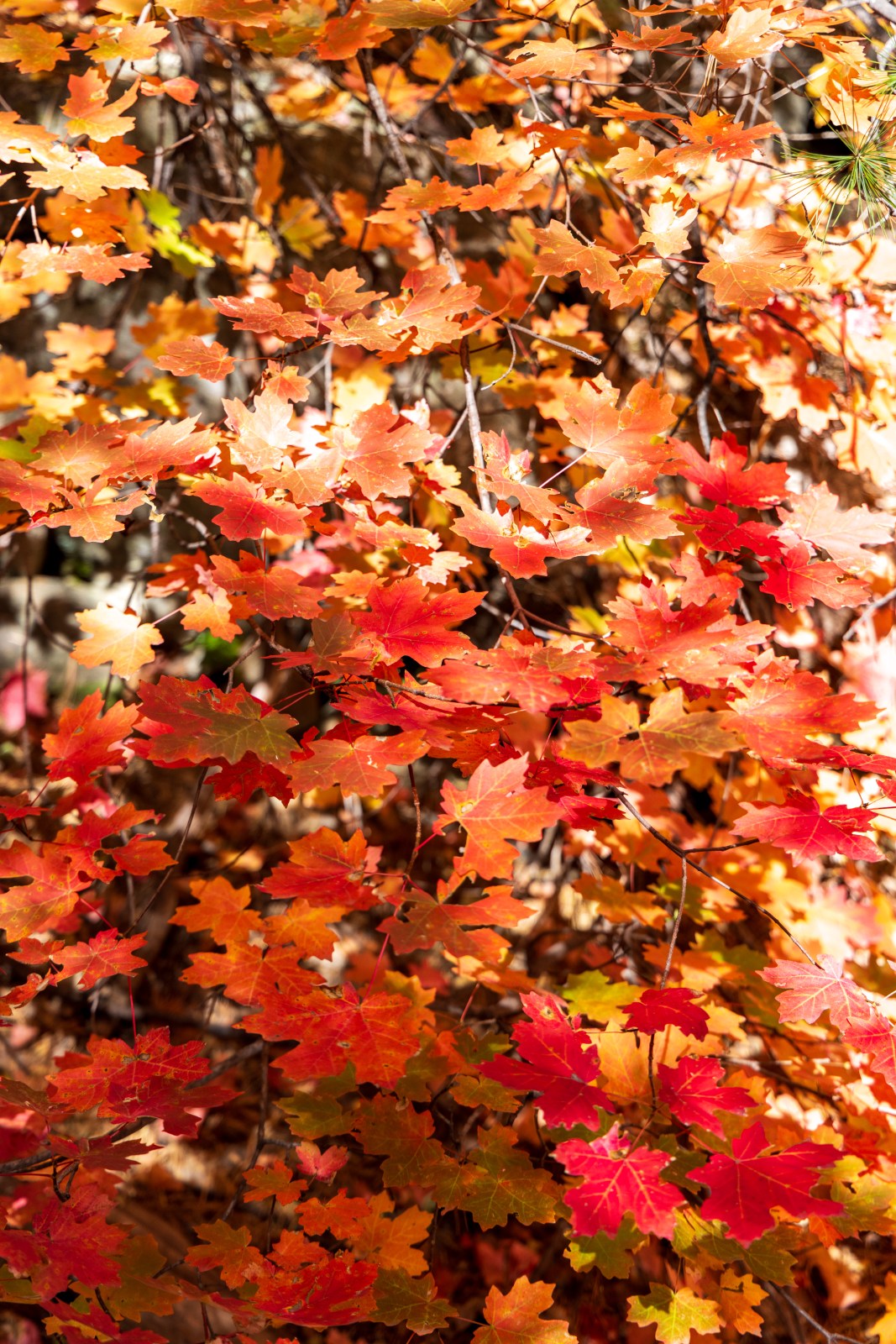
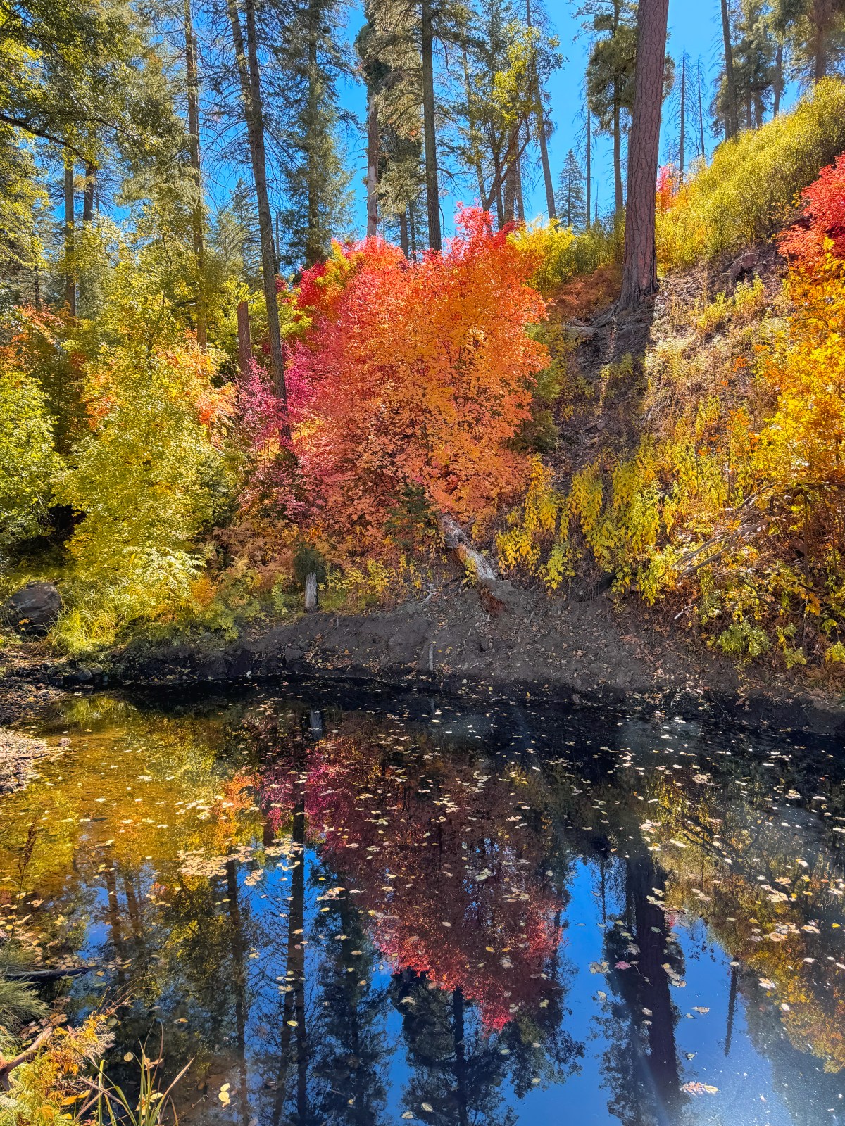
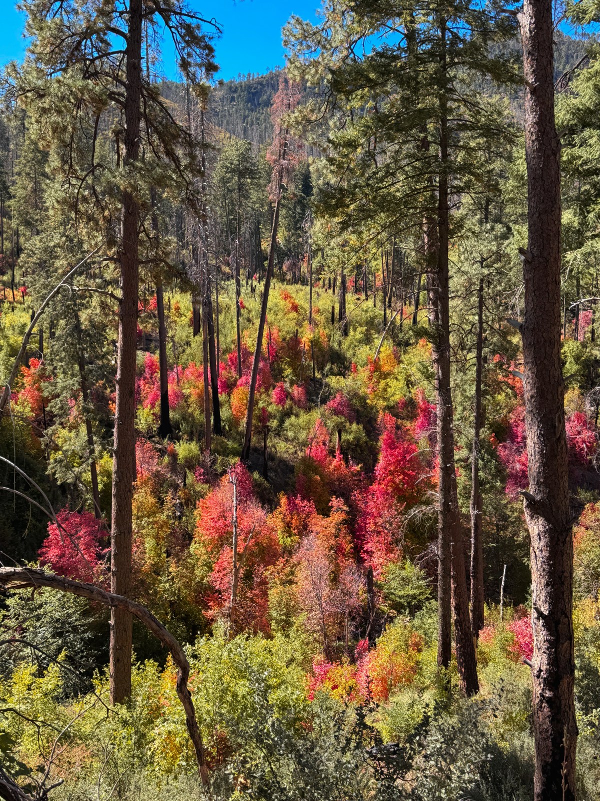
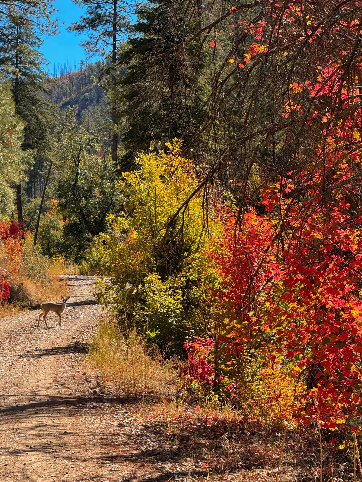
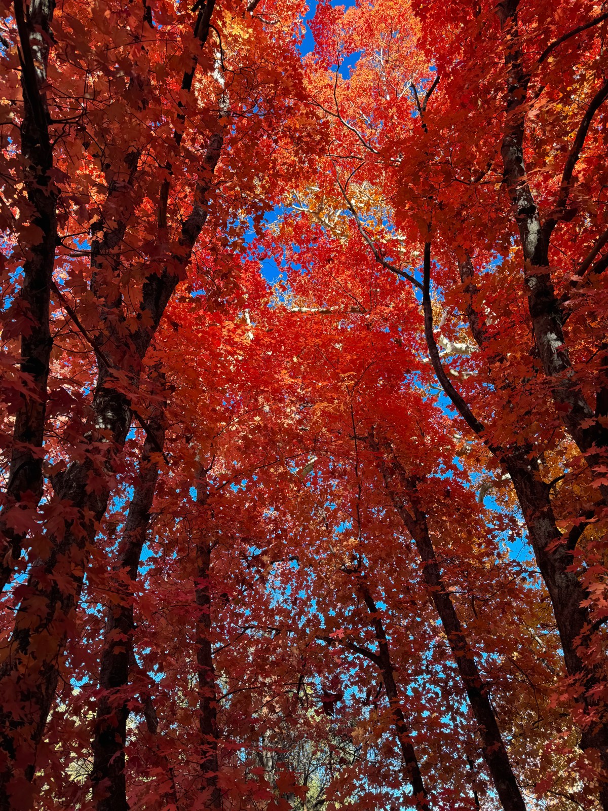
Although Houston Brothers Trail looks close to Payson on a map, the drive is anything but direct. The trailhead is over an hour from either Payson or Happy Jack above the Mogollon Rim. We started on the southern end of the trail off Rim Road (Forest Road 300). This trail is especially known for its thick stands of maple trees, which turn deep red and bright orange in mid October — making it one of the best places in Arizona to see vibrant red fall leaves.
We recommend a vehicle with four wheel drive and at least eight inches of clearance to navigate the forest service roads leading to the trail. The drive in is part of the adventure, with sweeping views from the rim and the promise of vibrant fall color waiting in the forest below.
Best Time to Visit: Mid October for peak maple color.
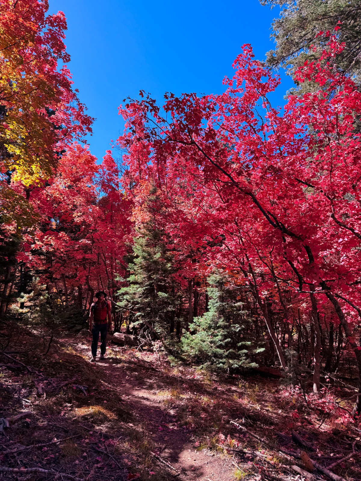
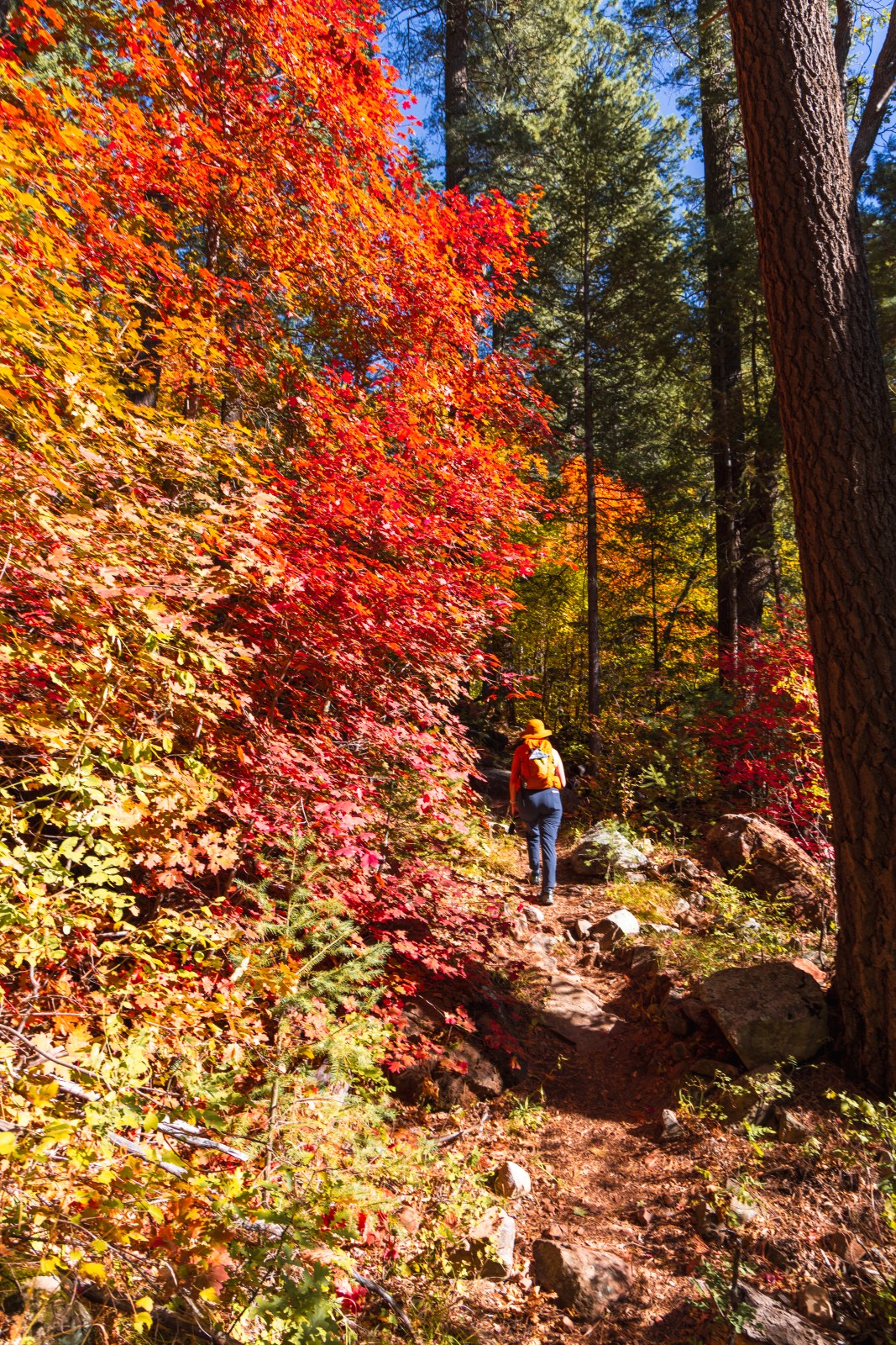
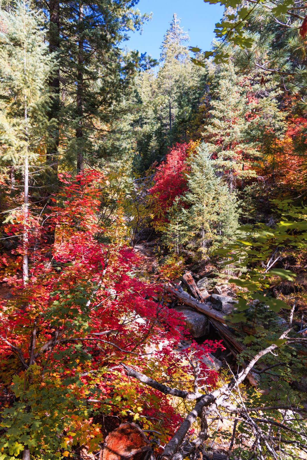
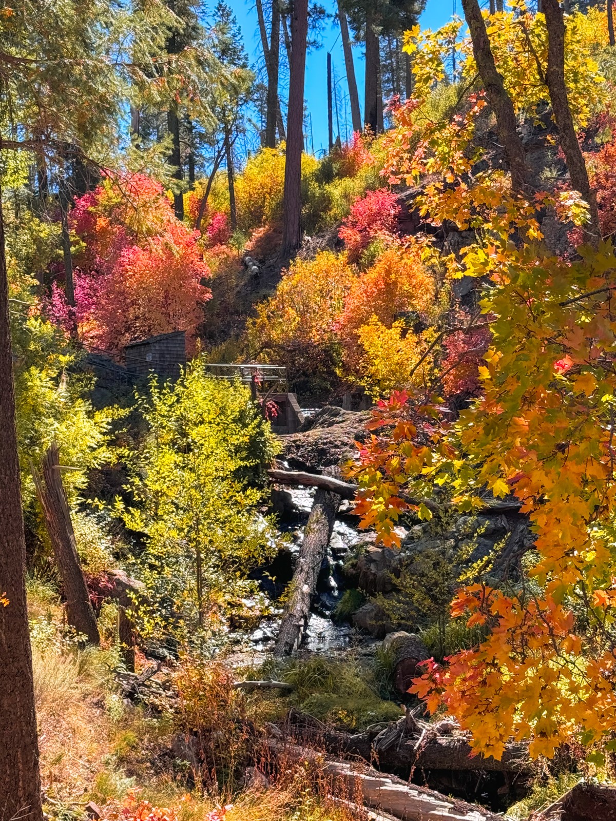
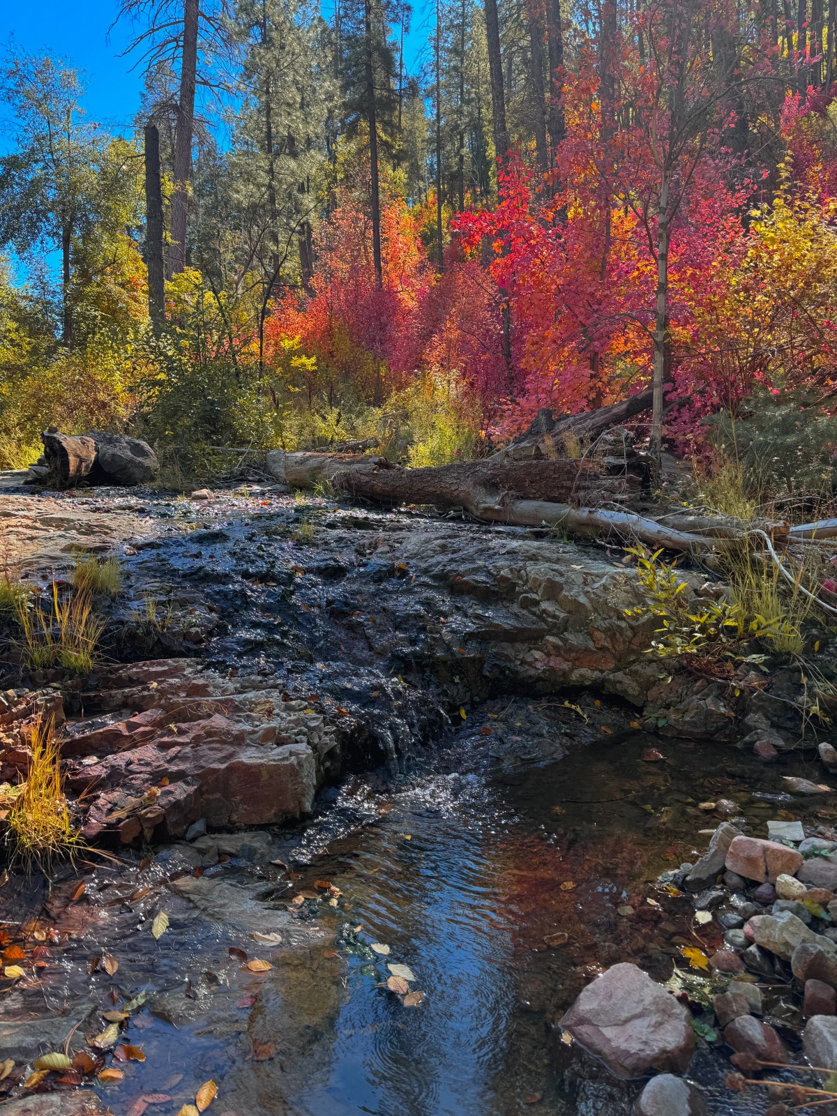
See Canyon Trail #184 in Tonto National Forest is just northeast of Payson on the Mogollon Rim. The trail climbs up the face of the rim, with a southern trailhead at Christopher Creek off State Route 260 and a northern trailhead off Rim Road (Forest Road 300) in Apache Sitgreaves National Forest. This is a steep hike as it ascends See Canyon to the top of the rim, but it rewards you with beautiful fall foliage along the way.
Through the canyon and alongside the creek, maple trees are abundant, turning a radiant orange and deep red in the fall. This makes See Canyon one of the best places in Arizona to see vibrant red leaves.
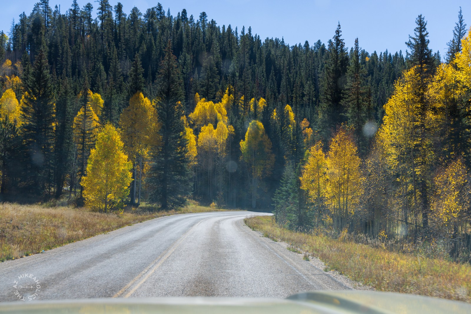
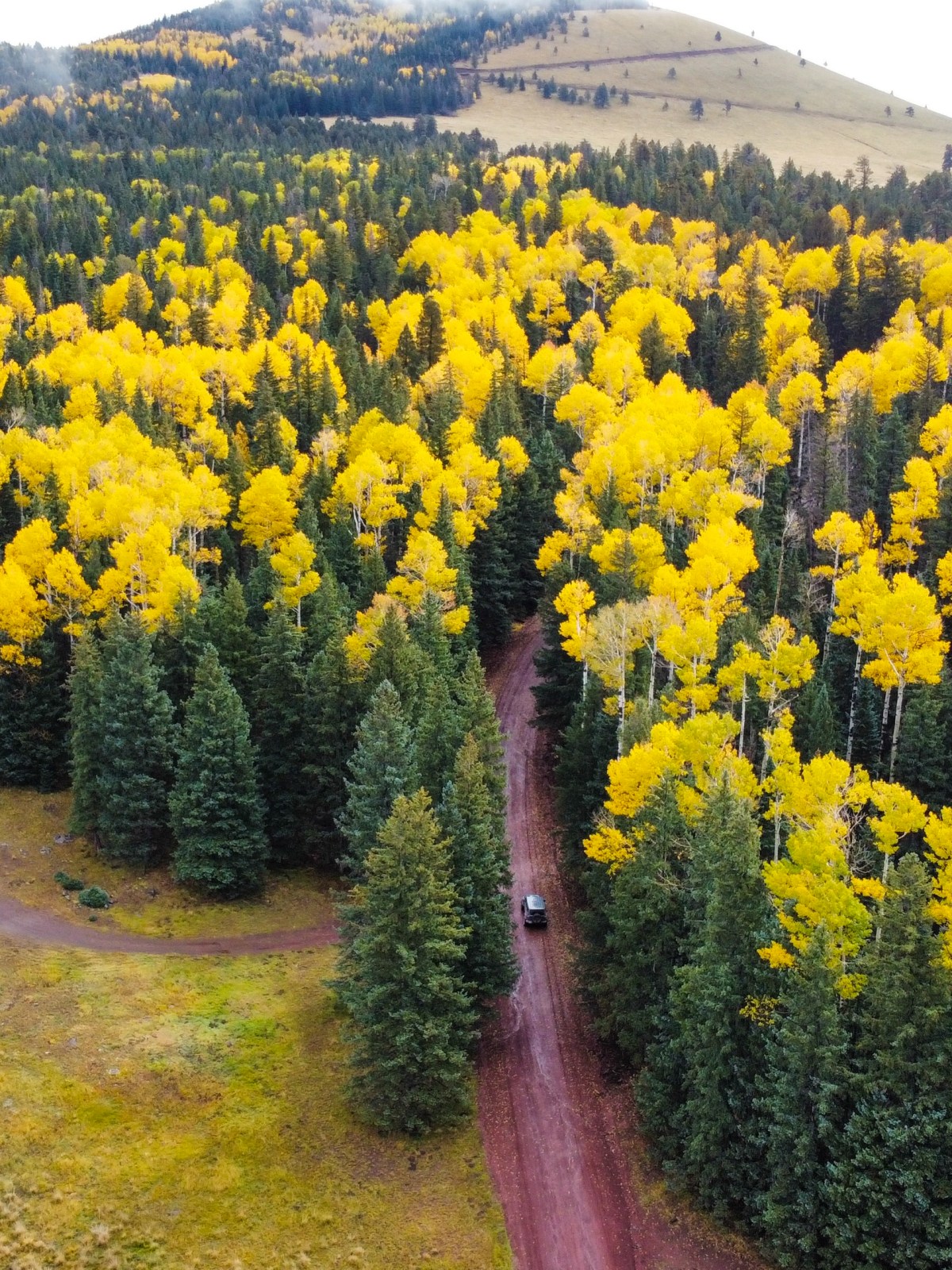
Mingus Mountain is a beautiful place to visit in October, with fall colors along the mountainside and at the summit. You can drive to the top and hike along the rim, as we did, or explore more of the trails in the area if you have time. We have not hiked the full loop yet, but it is on our list for a future trip.
The drive up offers sweeping views of the surrounding valleys, and in the fall, groves of aspens turn a bright yellow while oak and maple trees add pops of orange and deep red. The variety of colors against the dark evergreens makes for a stunning display.
Best Time to Visit: October for peak fall color on the mountain and along the drive.
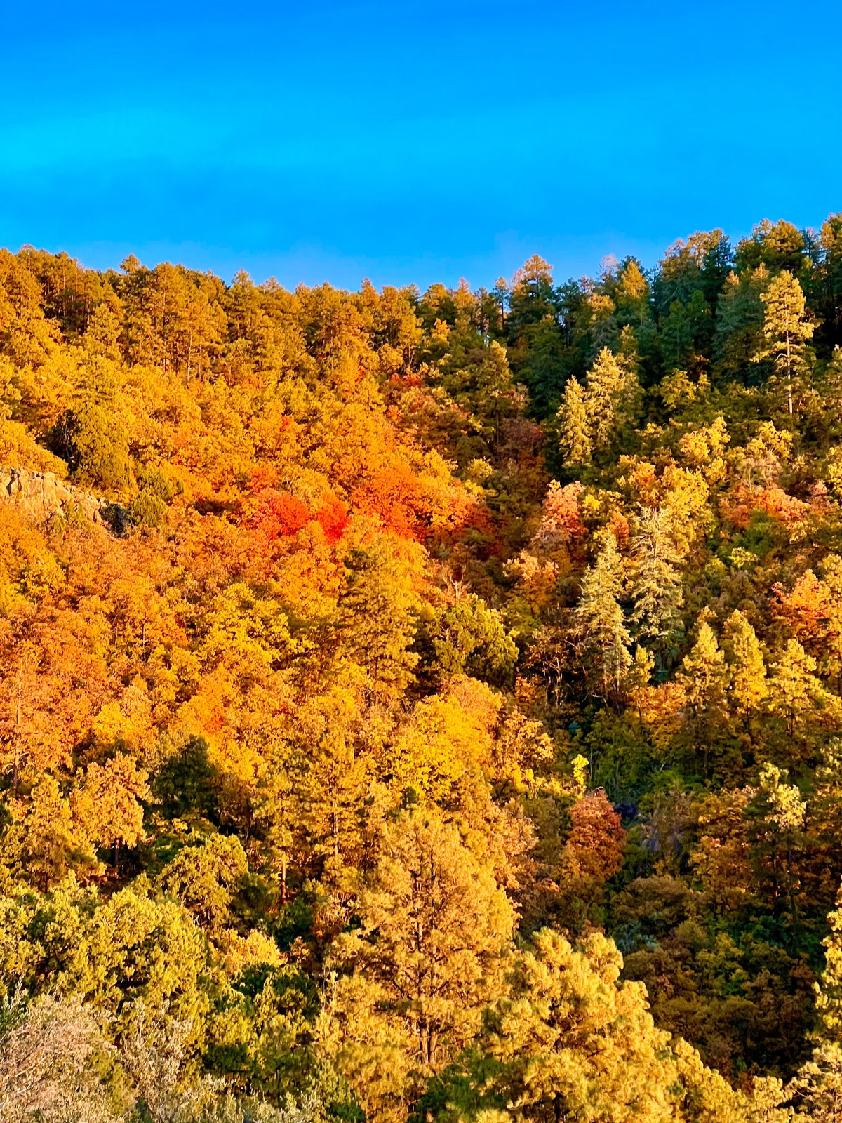
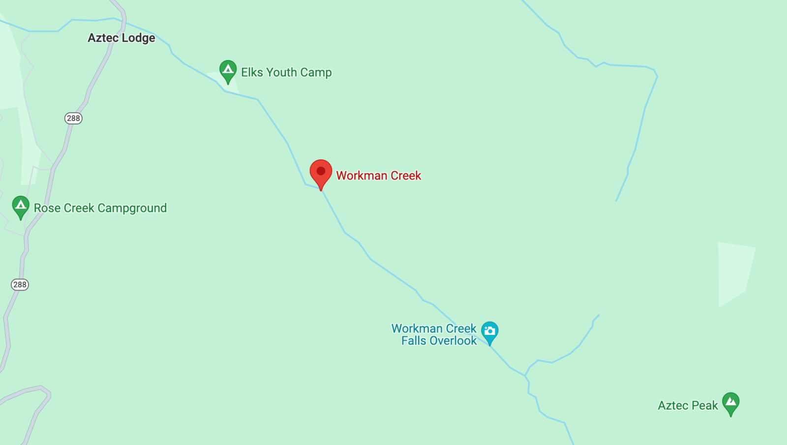
Workman Creek is a bit of a hidden gem, located northeast of the Phoenix metro area and Roosevelt Lake. Getting here is part of the adventure — the drive follows the stunning Desert to Tall Pines National Scenic Byway (State Route 288), which winds from the desert near Roosevelt Lake all the way up to the 260 north of Payson along the Mogollon Rim.
While there is not a specific hiking trail here, a forest road (FR 487) takes you to the top of the hill that feeds the creek. You can walk the road or drive it with a high clearance four wheel drive vehicle. In the fall, aspens and oaks along the road turn shades of gold and orange, making the journey itself just as beautiful as the destination.
It is worth noting that there were mining operations near Workman Creek in the past, and the area still has posted warnings about historic uranium mining. The National Forest Service has deemed the area safe to explore, but we recommend not drinking the water.
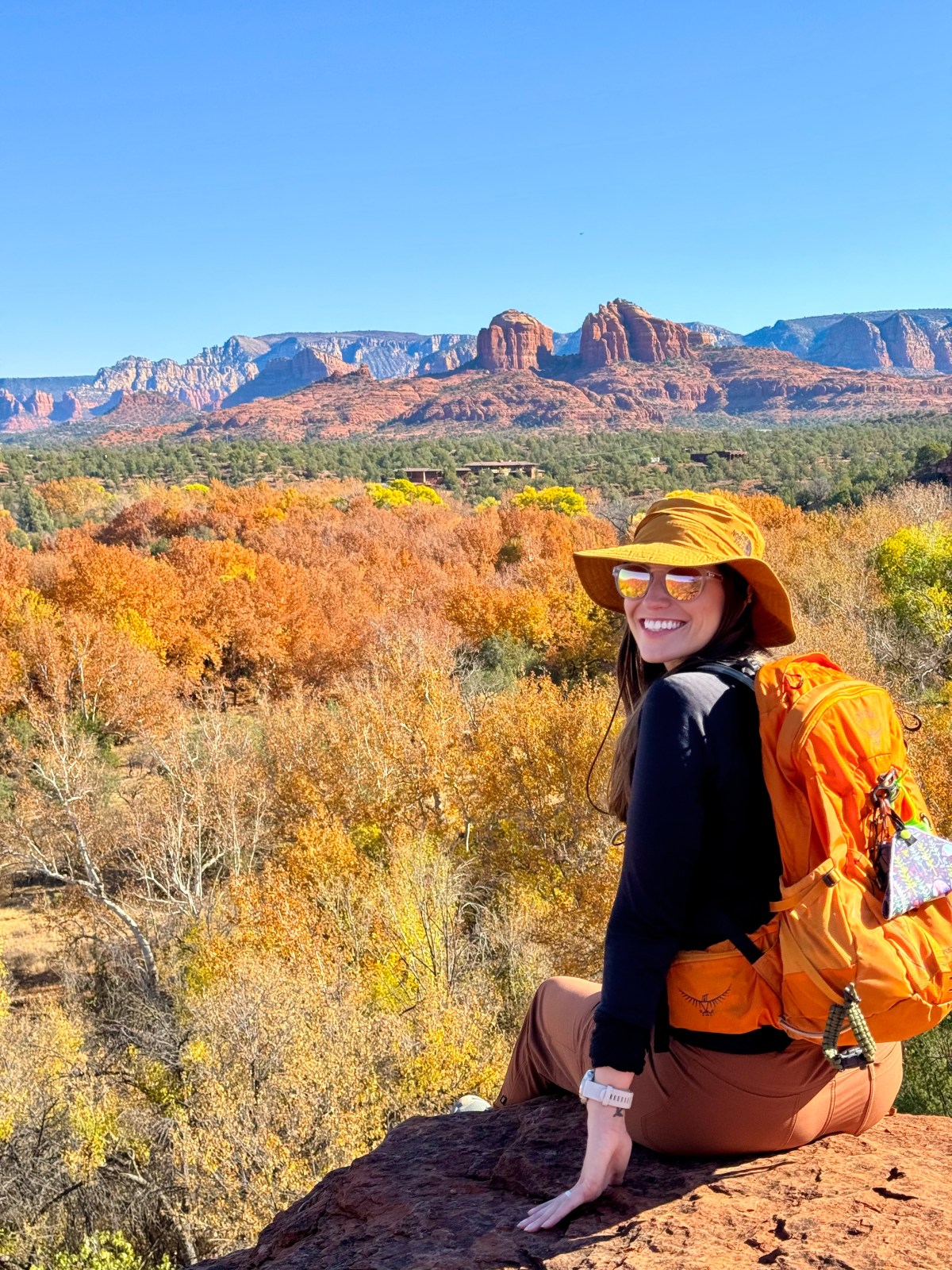
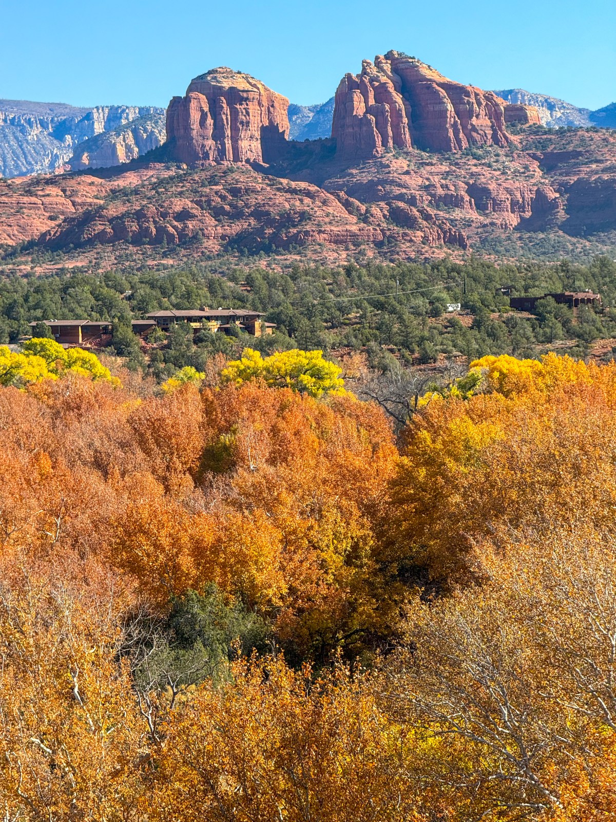
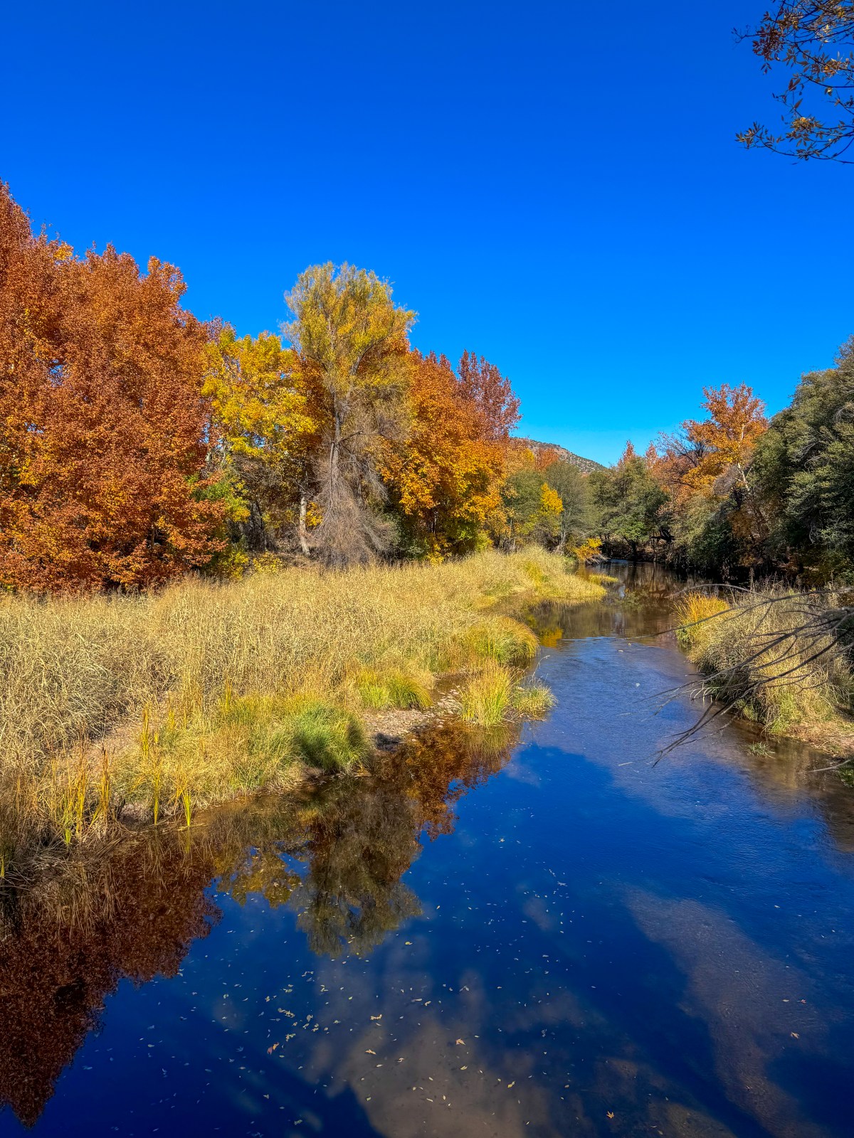
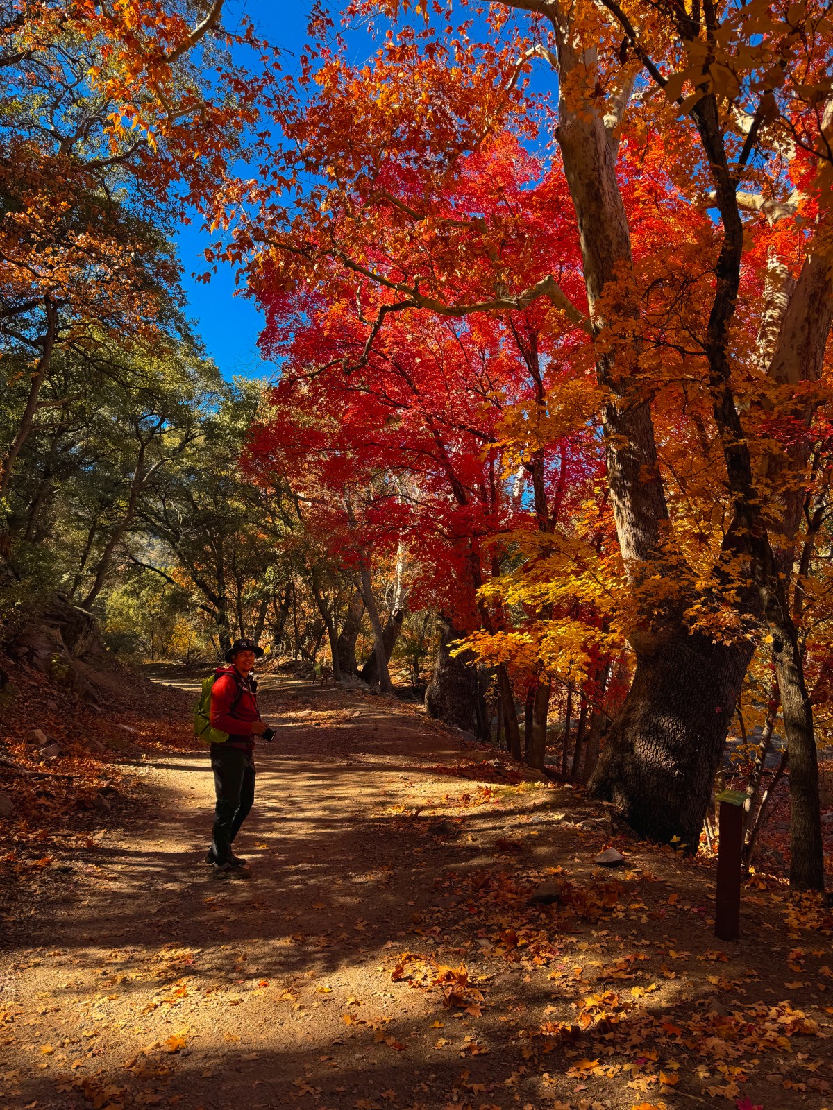
Oak Creek runs right through Sedona and is lined with maple trees that glow red, orange, and yellow in the fall. You can see beautiful foliage along Oak Creek from Highway 89A, but for a quieter experience, head into Red Rock State Park where the creek winds through the heart of the park. The mix of fall colors framed by Sedona’s famous red rock formations is truly stunning.
We visited around mid November and still found vibrant colors, though peak color typically occurs from late October to early November.
For more ideas, check out our Sedona Guide designed to help you build your own itinerary for exploring the area’s red rock country.
Best Time to Visit: Late October to early November for peak color.
If you miss peak fall foliage in northern or central Arizona, do not worry. The southern part of the state offers a second chance to catch the colors. Thanks to Arizona’s “sky islands,” mountain ranges that rise dramatically from the desert floor, you can still see vibrant reds, oranges, and yellows well into late November and even early December.
These isolated ranges create unique ecosystems with cooler temperatures, creeks, and dense forests that are perfect for maple, oak, and sycamore trees to thrive. Two of the best areas to see late season fall colors are the Chiricahua Mountains and the Huachuca Mountains, each offering scenic drives, peaceful trails, and a more remote, crowd free experience.
Chiricahua Mountains
Cave Creek Canyon
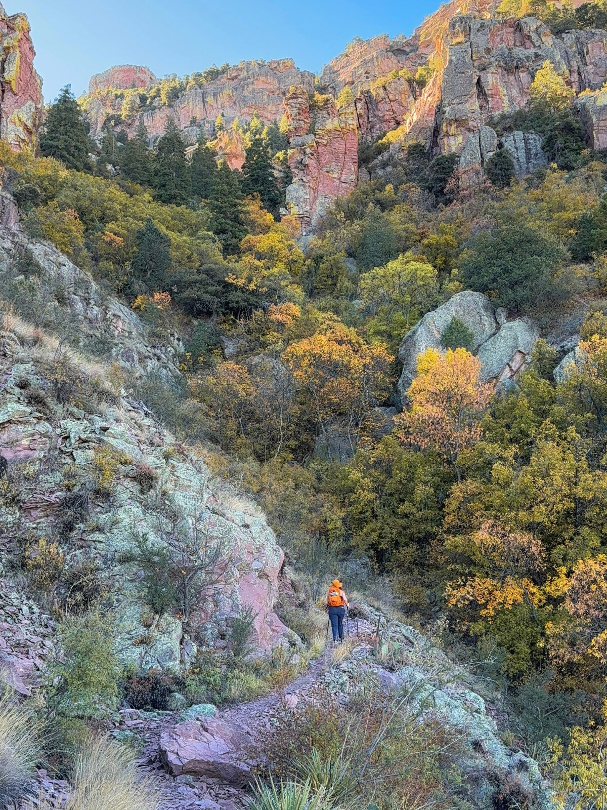
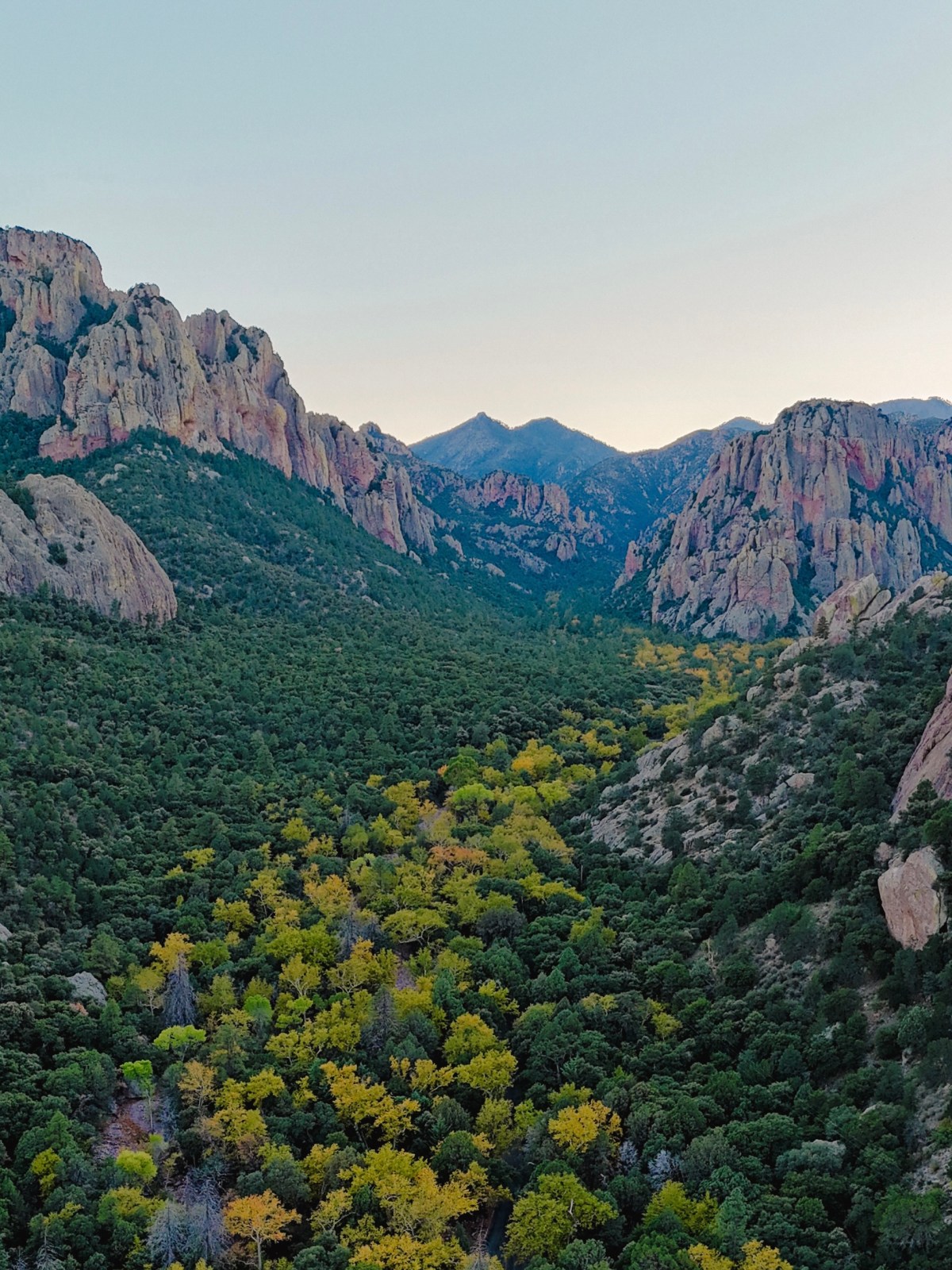
In the far southeast corner of Arizona, the Chiricahua Mountains are one of southern Arizona’s unique sky islands. The south fork of Cave Creek runs through a scenic canyon that opens near the small town of Portal. Along the creek, maple trees and other native species put on a beautiful display of red, orange, and yellow in early November.
The area offers multiple hiking trails as well as Forest Road 42, which winds through the canyon, climbs the mountain range, and crosses over to the west side toward Chiricahua National Monument. We visited “The Yosemite of Arizona” in early November and detailed our trip in our Cave Creek Canyon blog post.
Best Time to Visit: Early November for peak color.
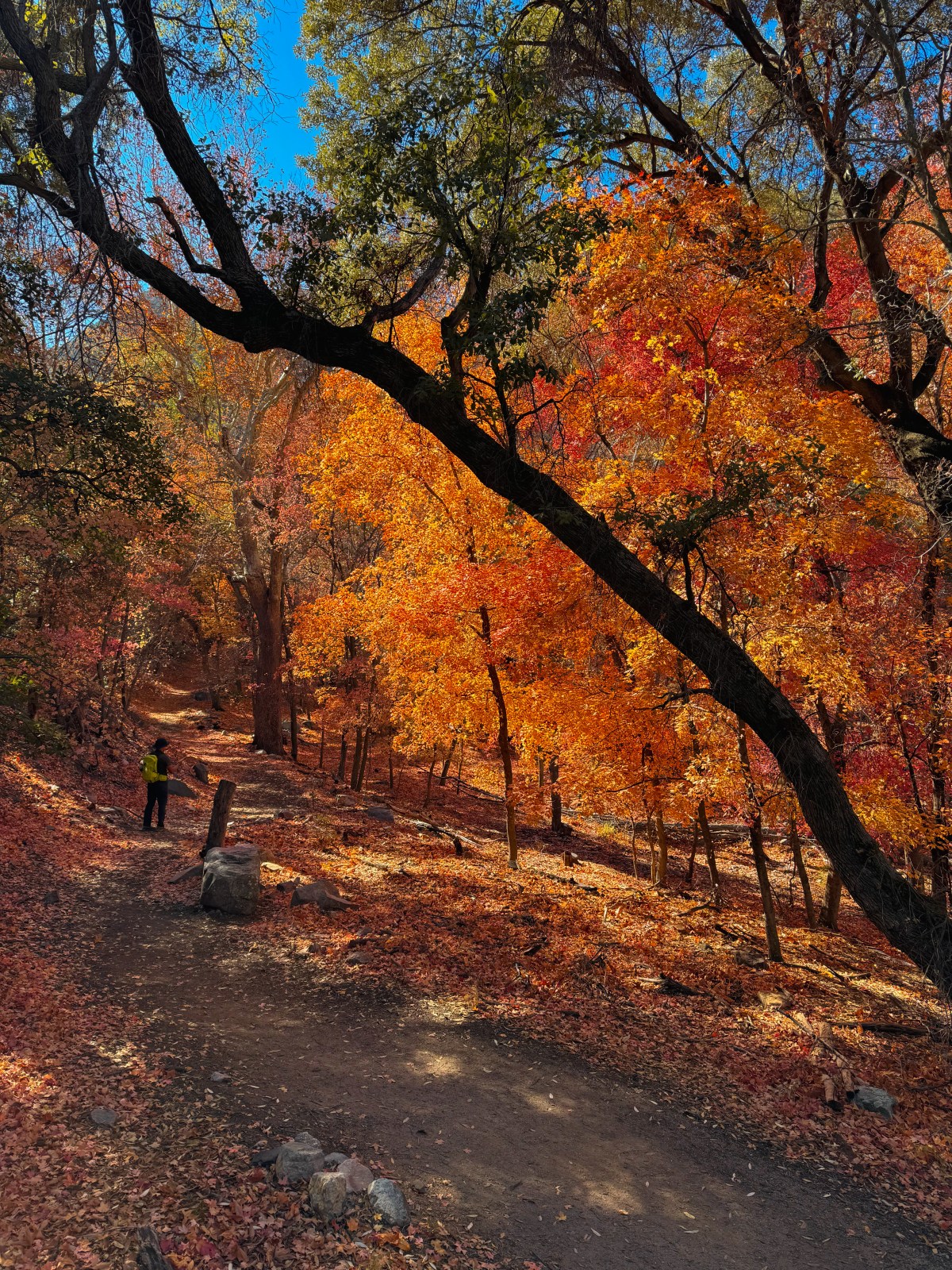
One of several scenic canyons at the base of the Huachuca Mountains, Ramsey Canyon is managed by The Nature Conservancy and is known for its rich biodiversity and stunning fall foliage. An easy trail follows the creek through a canopy of maple, sycamore, and oak trees that burst into shades of gold, orange, and red.
We visited close to mid December and still saw beautiful color, though peak foliage is typically from late November to early December. Our visit to Ramsey Canyon was part of a weekend trip spent just 30 minutes away at Kartchner Caverns State Park.
Best Time to Visit: Late November to early December for peak color.
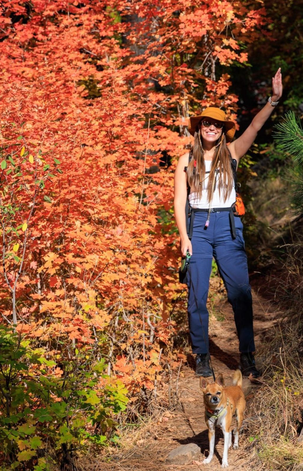
Whether you are chasing aspens in the high country or exploring maple-lined creeks in southern Arizona, fall colors here are something truly special. We hope this guide helps you plan your trip to catch the best of the season. Remember to follow Leave No Trace principles so these places stay beautiful for years to come.
If you want more Arizona hiking and travel tips, check out our other guides or follow along on Instagram for real-time updates. And if you love fall adventures, you might also enjoy our upcoming Flagstaff Fall Colors Itinerary, available exclusively to newsletter subscribers. You can sign up here.
We started The AZ Hikeaholics as a way to share our adventures with an audience that was interested. It soon grew into a community and we were all in! The more we learned about the history, geology, culture, biology etc, of the places we were exploring, the more we wanted to know.