Things to Do in Strawberry, Arizona: Hikes, Stays, and More
Rim Country: Pine - Strawberry, Arizona
The towns of Pine and Strawberry Arizona are nestled on the Mogollon Rim escarpment that runs 200 miles east to west across the state of Arizona. The towns are about 3 miles apart and a quick 5 minute drive, if that. Pine and Strawberry are surrounded by Tonto National Forest with the border of Coconino National Forest not to far away along the Fossil Creek Wild and Scenic River or on top of the Mogollon Rim.
To locals, this area is known as Rim Country. The weather is quite comfortable in the summer and not as heavy hit in the winter with snow. The forest is mixed with ponderosa pines and juniper pines. In the forest you’ll find plenty of deer and elk. Be on the lookout when driving through town!
And to Arizona National Scenic Trail hikers, Pine is known as a Gateway Community and access point off and on the trail between passages 25 and 26. In addition to the Arizona Trail, there are many miles of other trails in the area that are open to hiking and mountain biking.
While in town, be sure to grab a bite to eat at one of the many delicious restaurants. For an extended stay, check out The Strawberry Inn or some of the local Airbnb stays. Be sure to Leave No Trace and follow fire restrictions. There are three national forests in this area. Tonto, Coconino, and Apache-Sitgreaves National Forest. Each has their own fire restrictions.
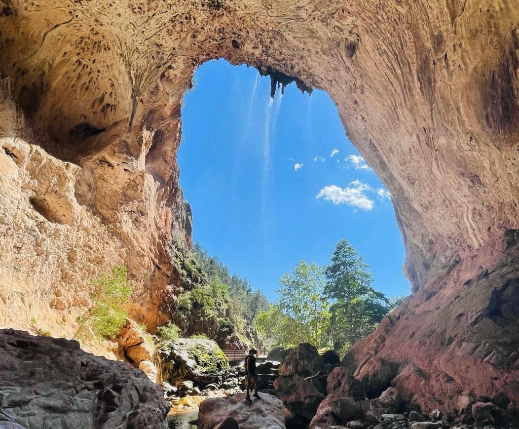
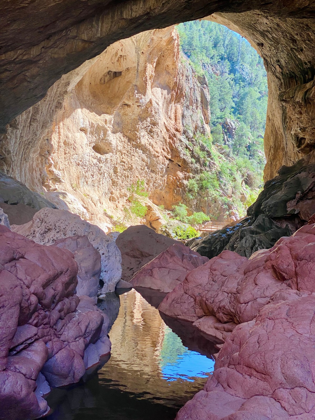
We started our hike at the west end of Tonto Natural Bridge State Park, heading down Gowan Trail to the base of the bridge, then continuing under it and along Pine Creek Trail. We exited through Pine Canyon and added a quick stop at the Waterfall Trail, totaling about 1.54 miles.
The route was rocky and technical, especially beneath the bridge where large boulders require careful footing. While not physically demanding, the terrain demanded focus as we scrambled over rocks and used logs for support. Storms and flash floods had clearly shifted debris, and one trail was closed due to previous flood damage.
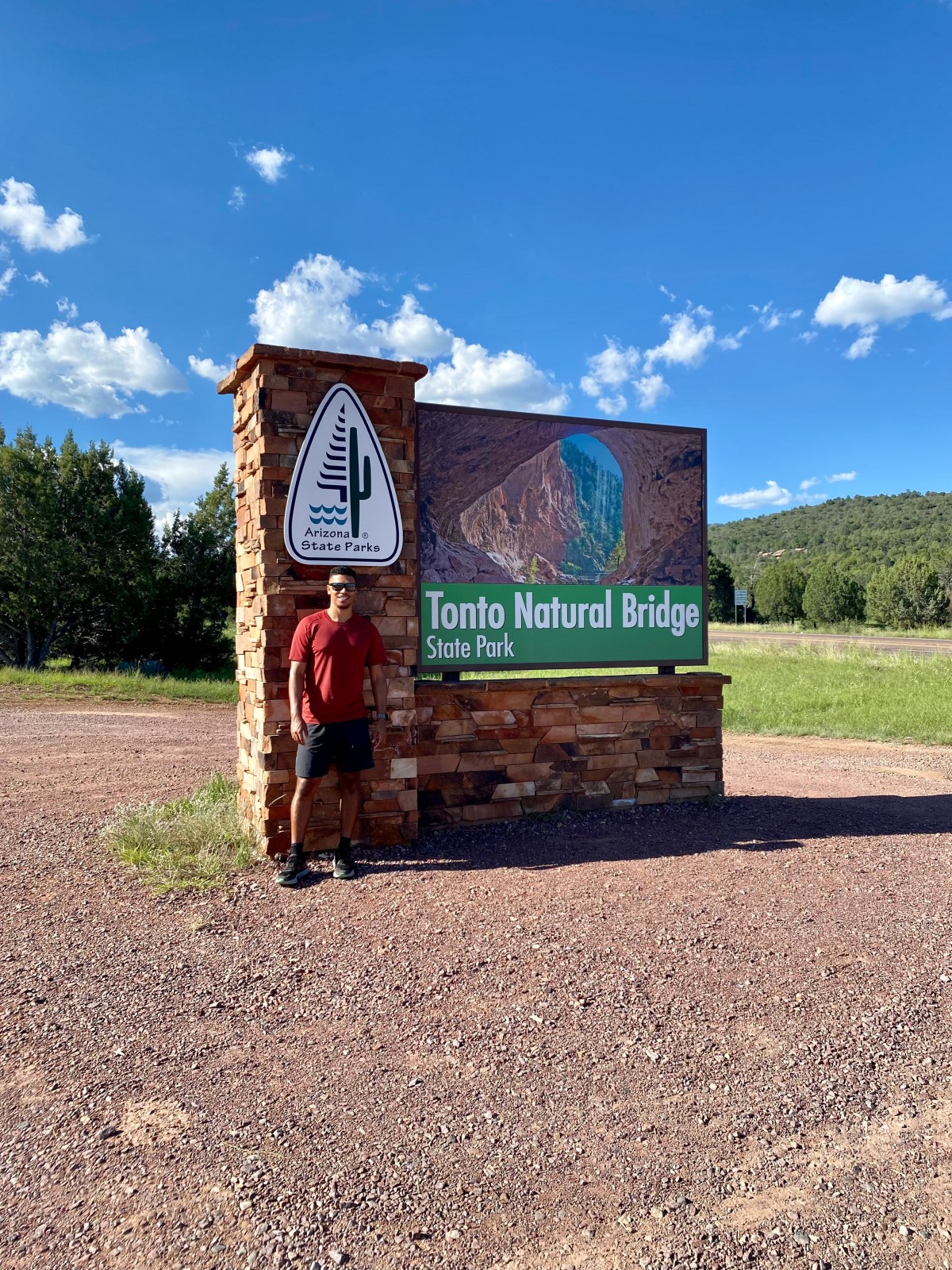
Tonto Natural Bridge is one of the world’s largest natural travertine bridges — 150 feet wide, 183 feet tall, and 400 feet long. You can view it from above or hike down to the base for a more immersive experience.
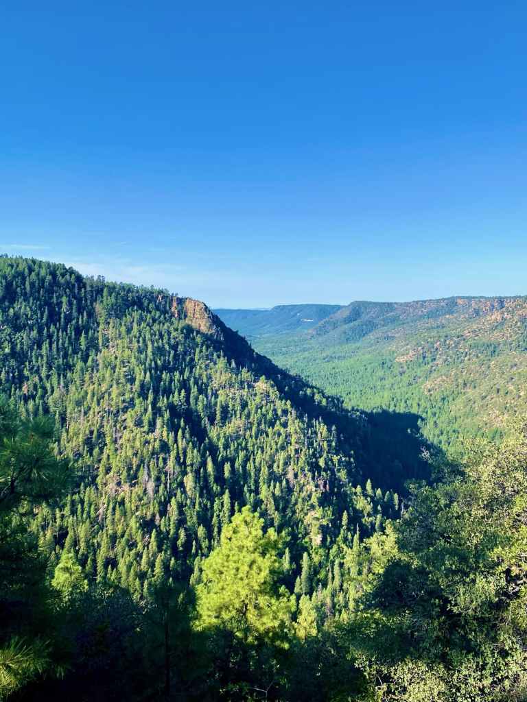
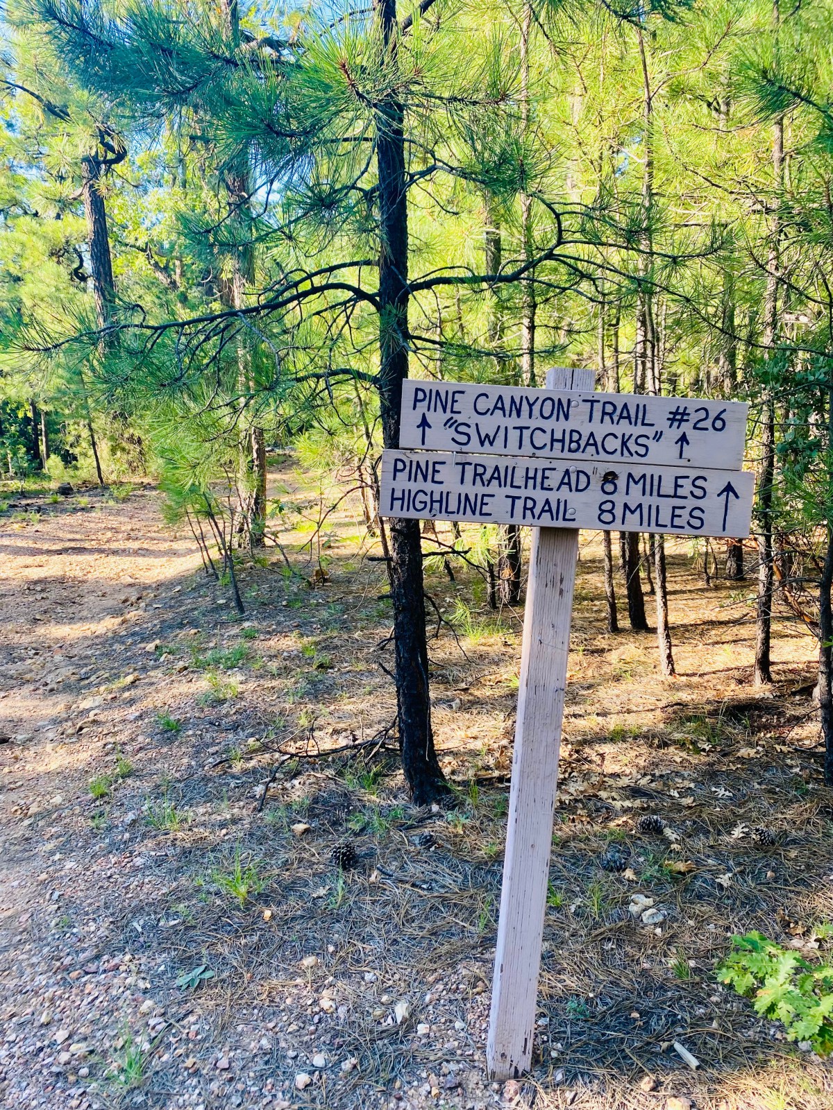
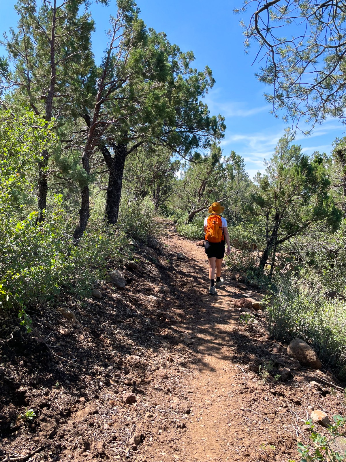
Pine Canyon is a beautiful Ponderosa Pine filled canyon between Pine, AZ and the top of the Mogollon Rim where Highway 87 traverses. Running through the canyon is Pine Creek, which continues south to Tonto Natural Bridge State Park. Pine Canyon Trail #26 goes from Pine, AZ in the Tonto National Forest up to the top of the Canyon which is where the Tonto NF borders the Coconino Nation Forest; this is where we started. It’s 10.5 miles long with 803 ft elevation gain if you travel from the Mogollon Rim to Pine, AZ.
We did not do the full trail that August morning and instead opted for this easy 1.2 mile out-and-back portion of the trail. It runs from the pull off of the 87 to top of the canyon with a beautiful overlook. It’s downhill towards the canyon and slightly uphill on the way back. As you head out you’ll come across a sign with some trail info. You can also hike down to the canyon and back up. We aren’t sure how long that is distance wise, but we think it’s something we’ll do next time, or possibly do the thru hike if we can arrange to be dropped off and picked up.
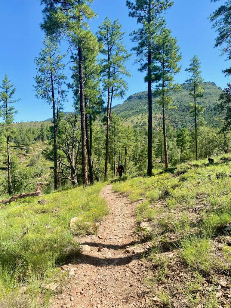
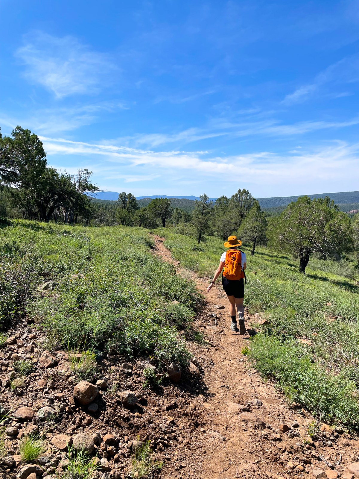
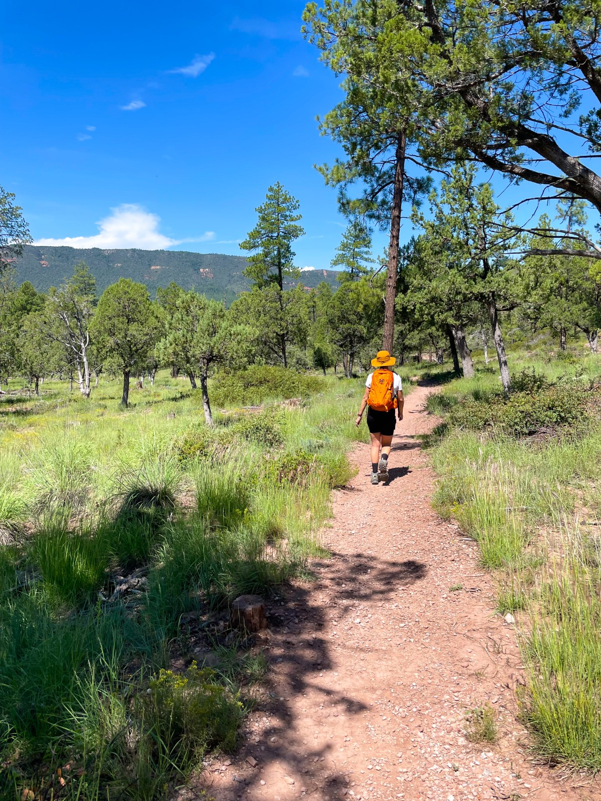
Now at the opposite end of the trail we were on earlier in the morning, we started on the Pine Canyon Trail #26 to do a loop including trail #28 and the Highline Trail #31, which is part of the Arizona Trail. We went slightly beyond the loop laid out on All Trails, and hiked on the Highline Trail for a little bit until we felt like turning around. This trailhead is relatively popular as there are multiple trails to take and it’s an easy place to hop on and off the Arizona Trail or hike a portion
This loop is relatively easy but can be made more moderate if you add your own distance and do some out-and-backs along trails involved. The trail is mixed with shade and exposed parts. The summer of 2021 was full of monsoons and area was full of green views with Ponderosa Pines towering above and trees, grass, cacti, and other healthy vegetation below.
Location: Pine, AZ, Tonto National Forest Google Maps
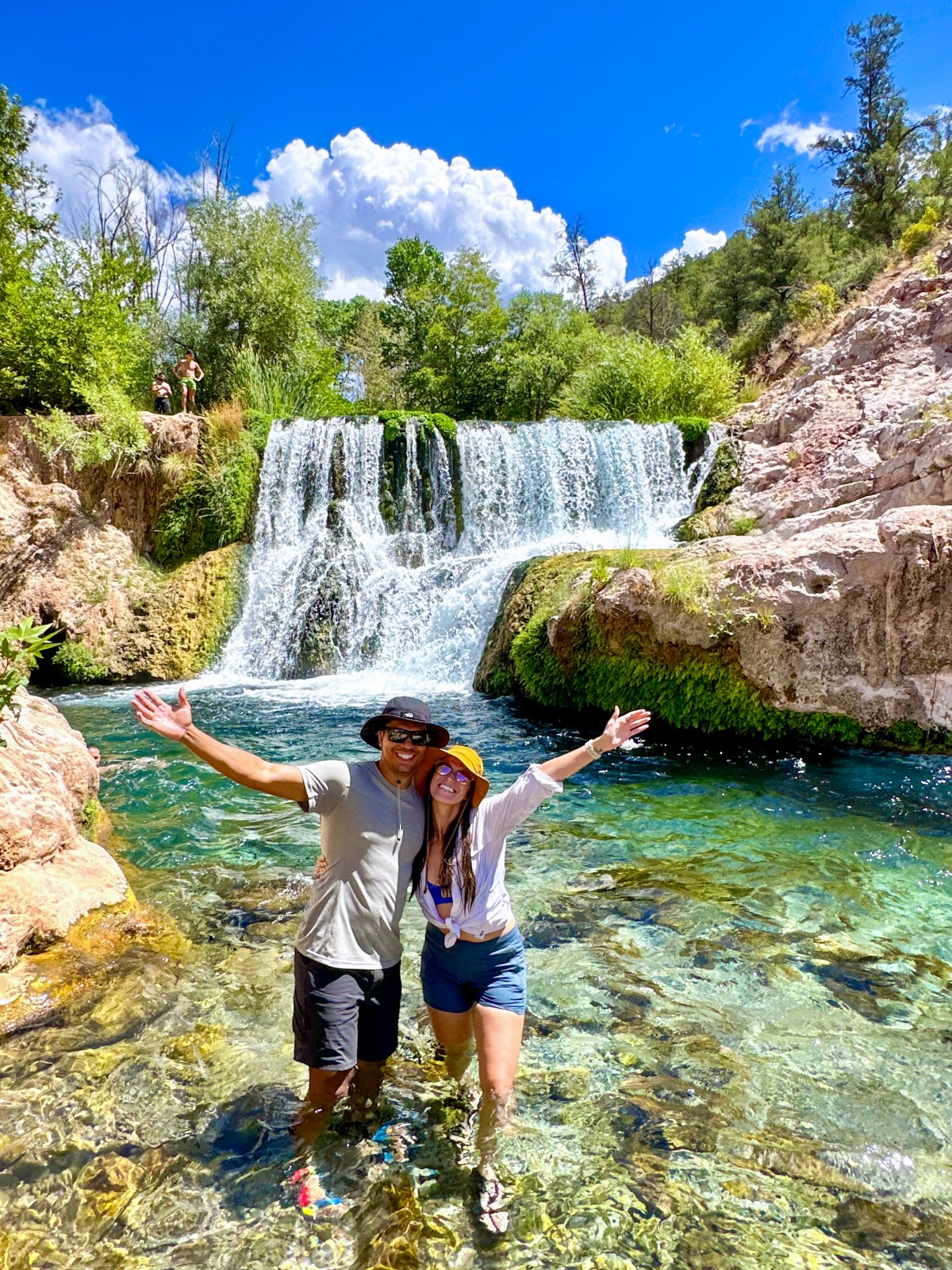
Fossil Springs, accessed from the Bob Bear Trailhead near Strawberry, is one of the most beautiful water hikes in Arizona — but it is also one of the most challenging and regulated.
You must have a permit to hike this trail. Permits are available on recreation.gov and are required both in your vehicle and on your person at all times. Make sure to reserve ahead, especially during peak months.
We hiked to the Fossil Creek Dam from the Strawberry side, completing an eight point seven mile out and back hike with over fifteen hundred feet of elevation gain on the way out. The hike out of the canyon is steep and demanding — this is not a casual water hike. Please plan accordingly and know your limits.
We each carried three liters of water plus an extra bottle, and we both drank every drop. Even with an early start, we did not finish until around one twenty in the afternoon. To stay safe, we recommend avoiding the hottest part of the day and wearing sturdy hiking shoes with good grip.
This trail offers incredible beauty but requires preparation and respect for the environment and your body. Hike smart and plan ahead.
Where to Stay in Strawberry, Arizona
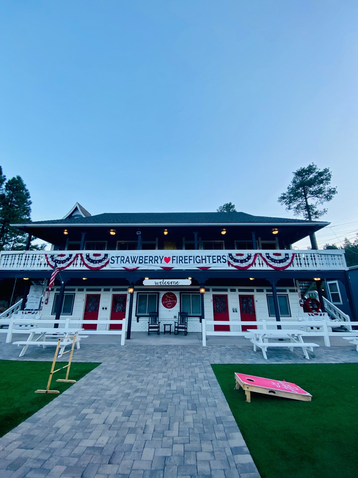
We stayed at The Strawberry Inn, a charming boutique property located right off Highway 87. It offers cozy, renovated rooms with modern amenities like A/C, a mini fridge, and a coffee maker. It’s walking distance from local eats and perfectly located for hiking and exploring nearby attractions like Tonto Natural Bridge State Park and Pine Canyon Trail.
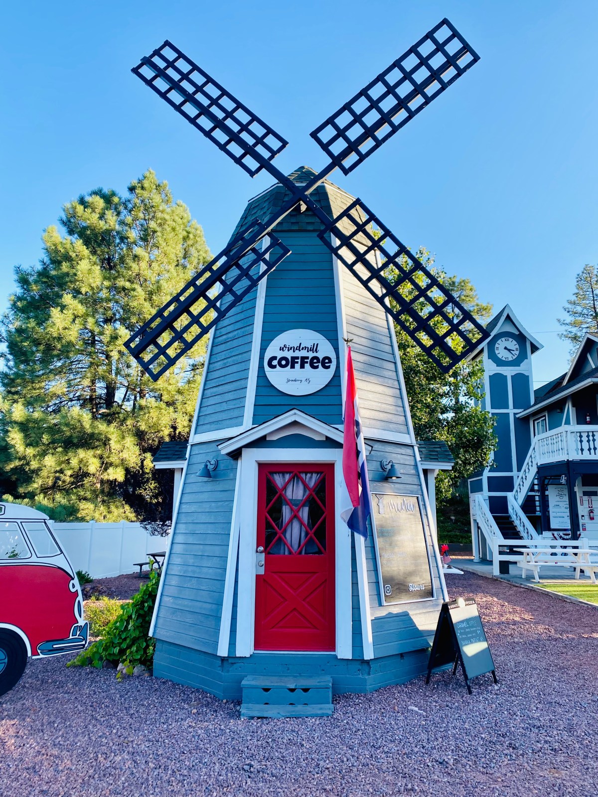
Where to Eat in Strawberry, Arizona
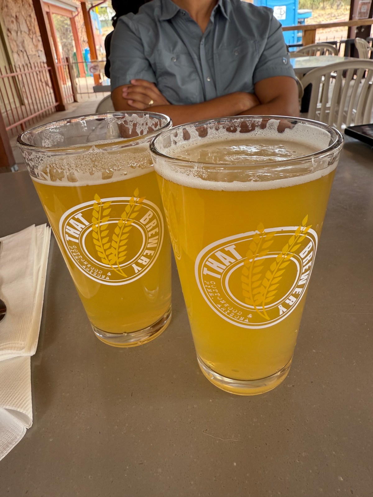
That Brewery (In Pine)
Old County Inn Pizza (In Pine)
PIEbar AZ
That Brewery
That Brewery
Old County Inn
Things to Do Near Strawberry and Pine
There are a few great add ons just outside Strawberry and Pine that are close enough to include in your trip. Water Wheel Falls near Payson is a short creek hike with refreshing pools for a half day outing. For a night under the stars, Rim Road FR 300 follows the Mogollon Rim with big views and plenty of camping options. Prefer a comfy base near the water? Consider an Airbnb near Water Wheel Falls so you can split your time between the creek and forest sunsets while staying a short drive from town.
Water Wheel Falls Near Payson
Water Wheel Falls near Payson is a short, scenic creek hike with cool pools and slick granite ledges, but flash floods are a real risk. Danger is highest in summer monsoon season and anytime rain is in the forecast, even miles upstream. Check weather for the full watershed, not just the trailhead, and turn around if skies build, thunder rumbles, or water turns muddy or rises.
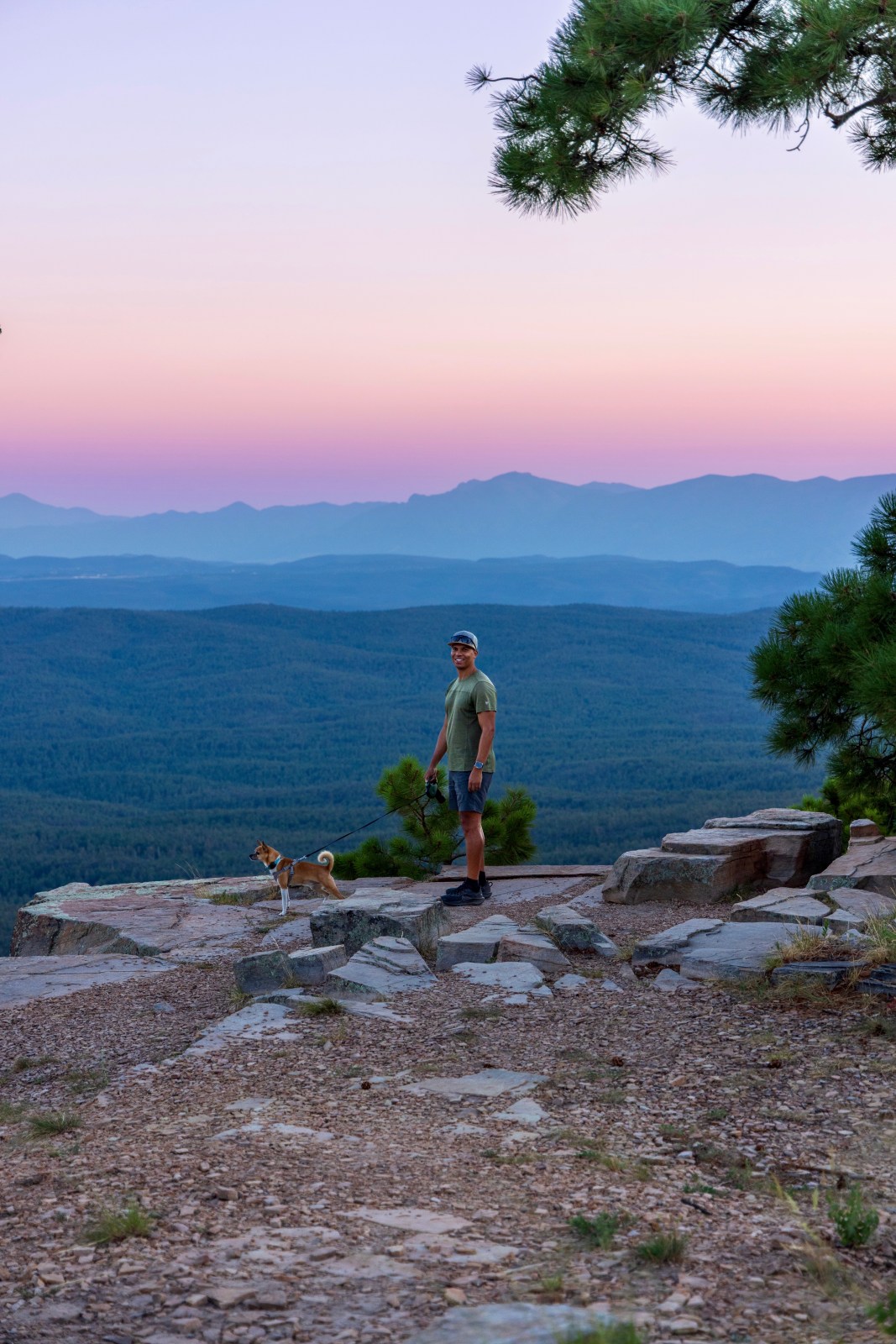
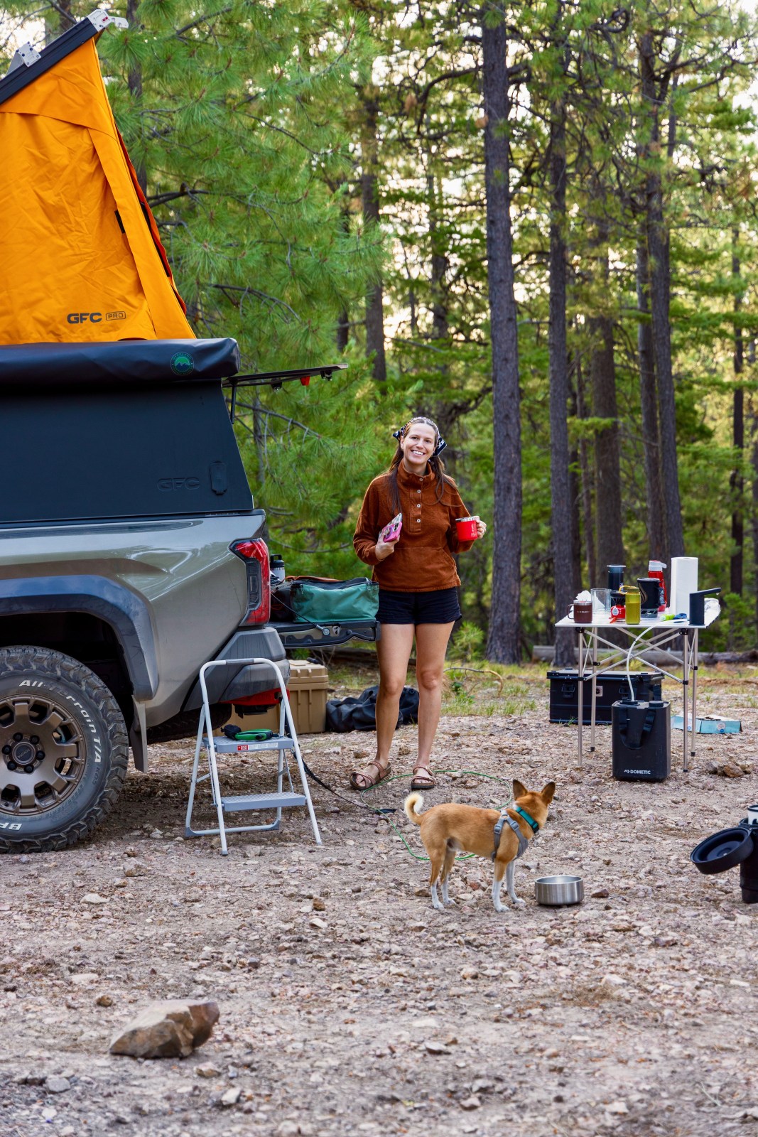
Dispersed camping along Rim Road FR 300 is one of our favorites. The Mogollon Rim sits higher in elevation (about 7,000 feet above sea level) with cooler temps, big views, and dark skies. Use existing pullouts and previously used sites only. There are no services or water. Bring everything you need, follow current fire restrictions, pack out all trash, and expect rough roads, and wind. Check Coconino National Forest closures and weather before you go.
To find legal camping spots, we highly encourage campers to research ahead of time and to know the rules. The Motor Vehicle Use Map from Coconino National Forest is a great resource, that visually shows what roads allow camping within 300 feet. The “South Section” encompasses the Mogollon Rim. Please always use a previous campsite and do not drive over or park on vegetation. Additionally, OnX Offroad has a map layer that displays where dispersed camping is allowed.
Payson Airbnb
We stayed at a cozy Airbnb near Payson, just a short drive from Water Wheel Falls. Tucked in the pines, it was quiet and peaceful with a bright, welcoming feel that made it easy to relax after a day on the creek. The location is ideal for exploring Rim Country too, with quick access to Rim Road FR 300, Tonto Natural Bridge, and Strawberry and Pine. We loved the calm setting and would happily stay again.
Hi There!
We're Lauren and Owen -
We started The AZ Hikeaholics as a way to share our adventures with an audience that was interested. It soon grew into a community and we were all in! The more we learned about the history, geology, culture, biology etc, of the places we were exploring, the more we wanted to know.