


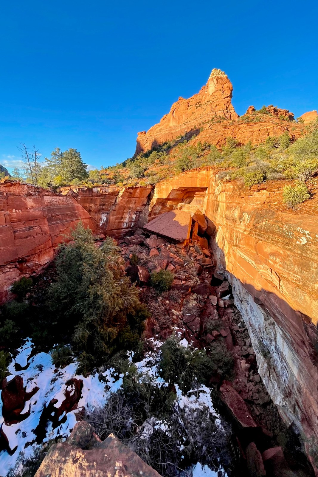


Soldier Pass Jeep Trail: Sedona, Arizona
Soldier Pass History The Soldier Pass jeep Trail in Sedona, Arizona is a short 4×4 dirt road in the heart of Red Rock Country. The

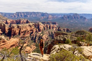
Best Things to Do in Sedona, Arizona: Hikes, Stays, and Food
Sedona attracts millions of visitors each year for its stunning red rocks and outdoor activities. The area is divided into four main sections, each offering
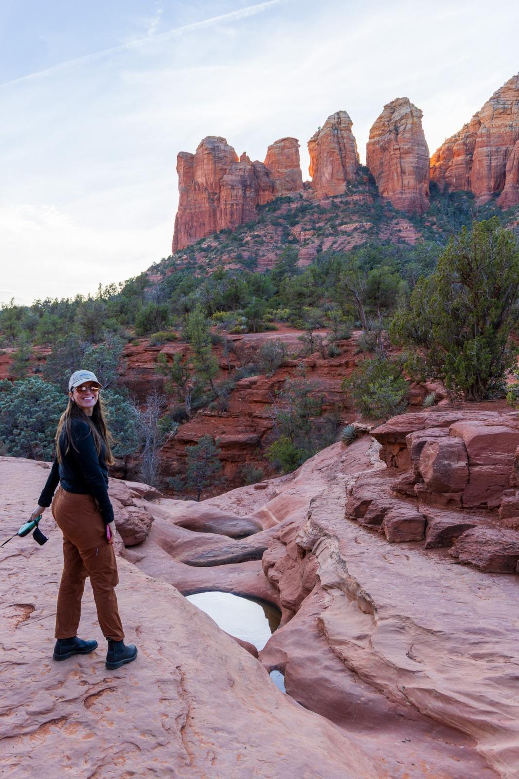
5 Best Hikes in Sedona (Our Favorite Trails You Can’t Miss)
These 5 hikes in Sedona are some of our favorites! They’re spread out and offer great views of Sedona’s red rocks with varying degrees of

