Best Hikes in Mesa, Arizona: Saguaro Lake & Salt River
Best Hikes Near Mesa, Arizona: Scenic Desert Trails Close to the City
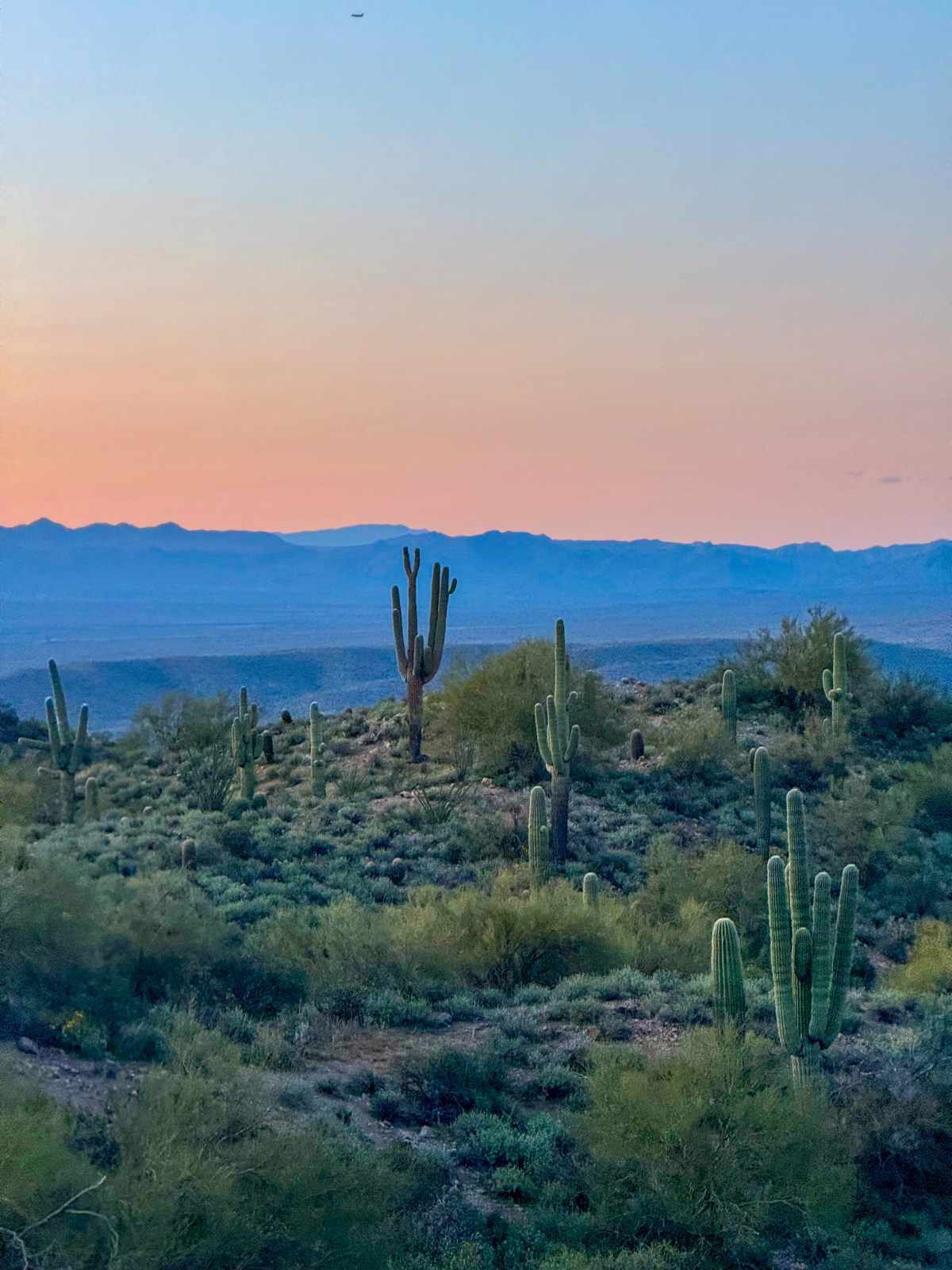
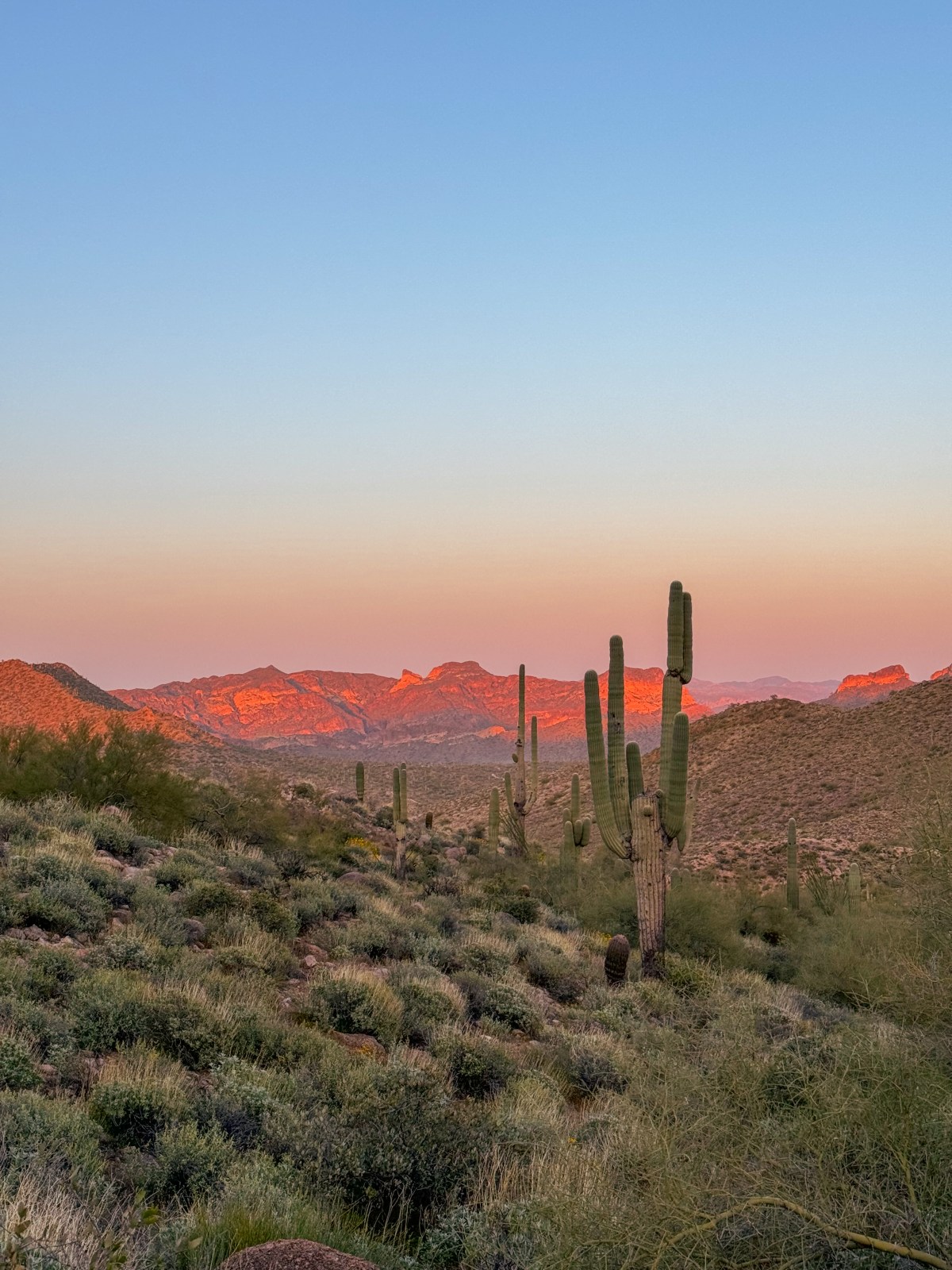
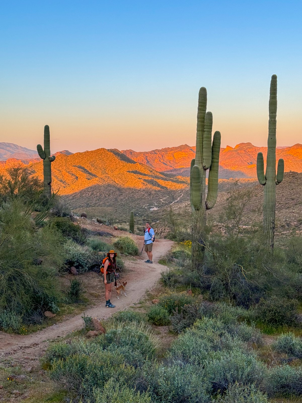
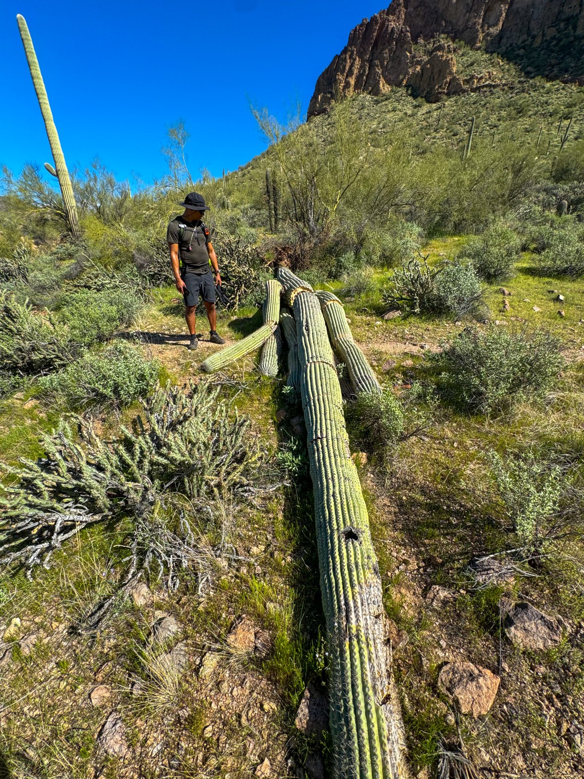
Mesa, Arizona is a hidden gem for outdoor lovers, especially those looking for desert hikes close to home. Just north of the city lies the Mesa Ranger District of the Tonto National Forest — home to incredible trails, the Lower Salt River, and the scenic shores of Saguaro and Canyon Lakes. Whether you’re into casual strolls or more challenging climbs, the area offers a wide range of trails for all experience levels. It’s also a hub for water recreation and off-roading. Below, we highlight our favorite hikes near Mesa, all within a short drive from the city’s north side.
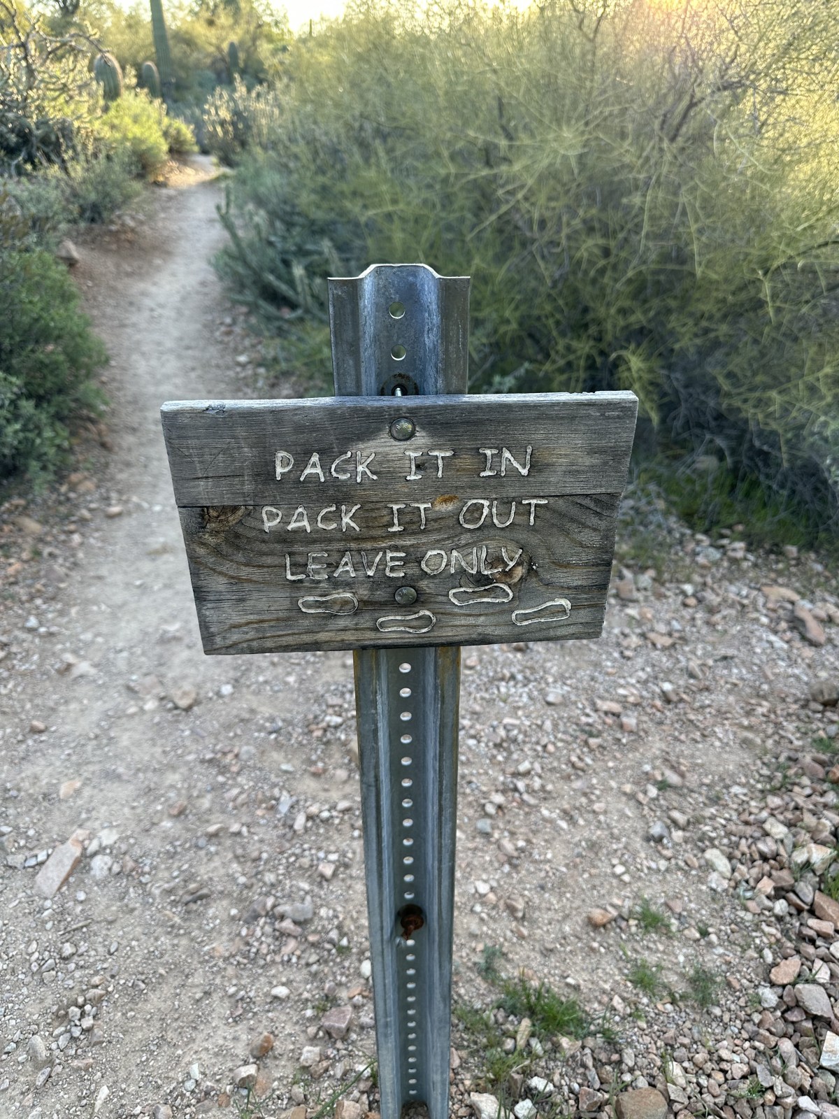
Mesa’s trails pass through fragile desert ecosystems — help us keep them beautiful by following the 7 Leave No Trace principles:
Plan ahead and prepare
Travel and camp on durable surfaces
Dispose of waste properly
Leave what you find
Minimize campfire impacts
Respect wildlife
Be considerate of other visitors
We always recommend packing out all trash, staying on marked trails, and checking conditions in advance. For more guidance, visit our hiking tips page.
Butcher Jones
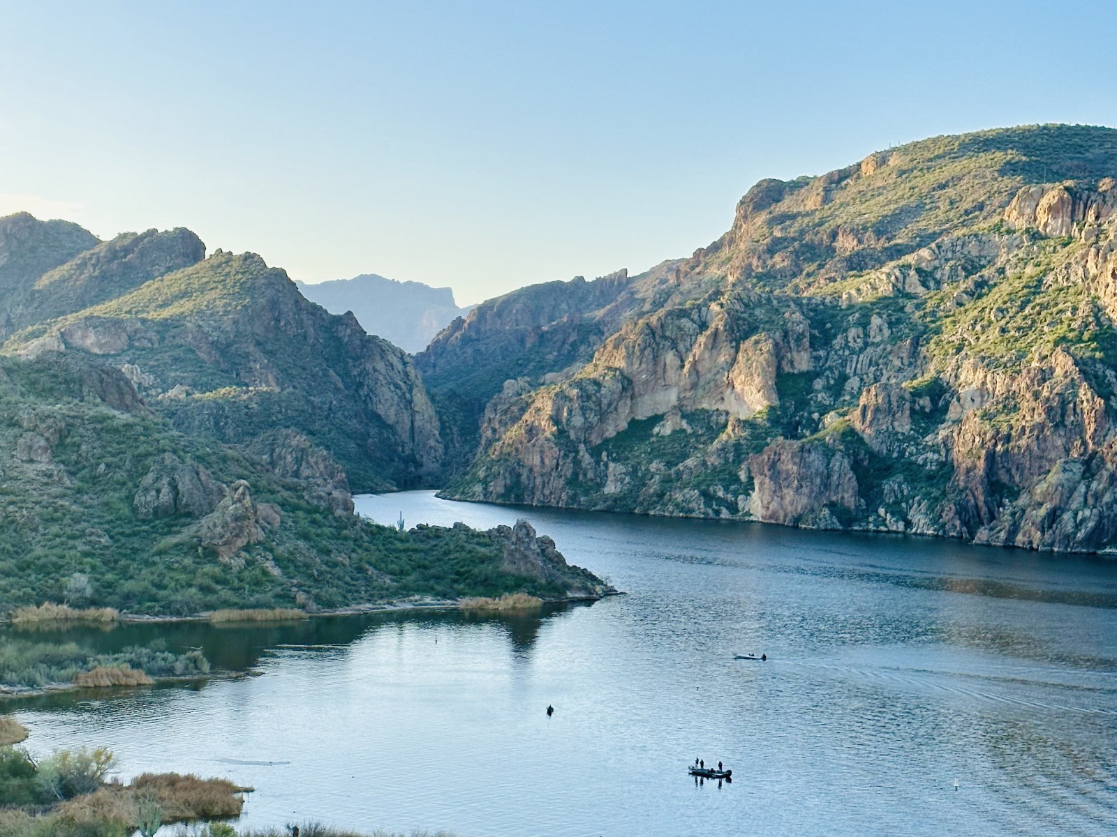
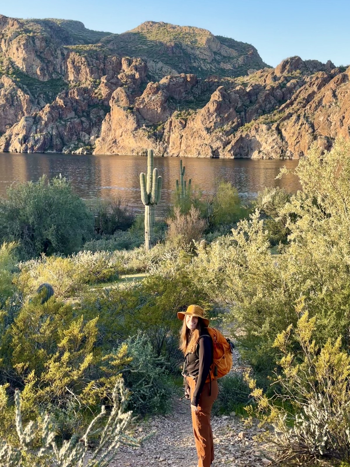
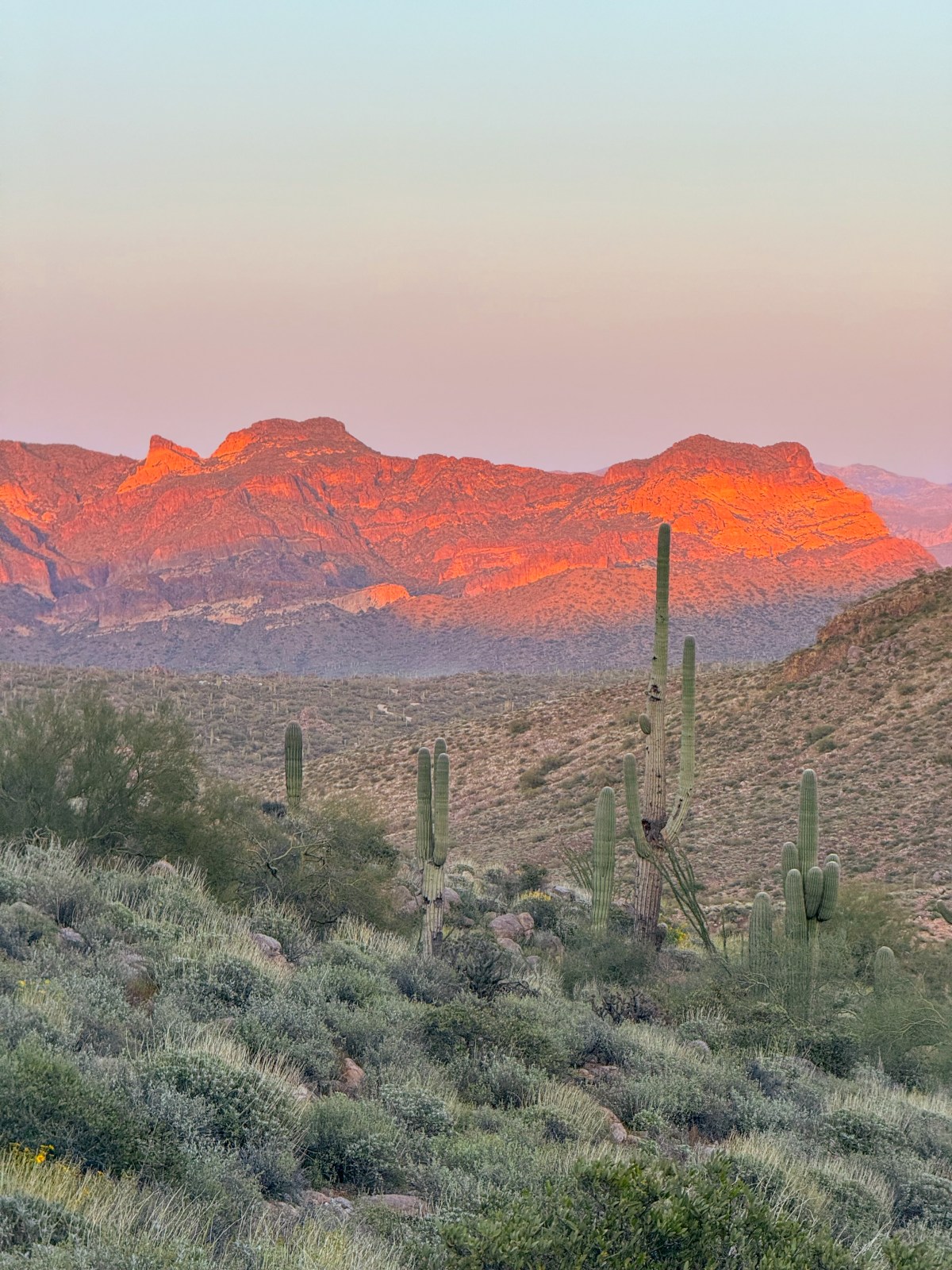
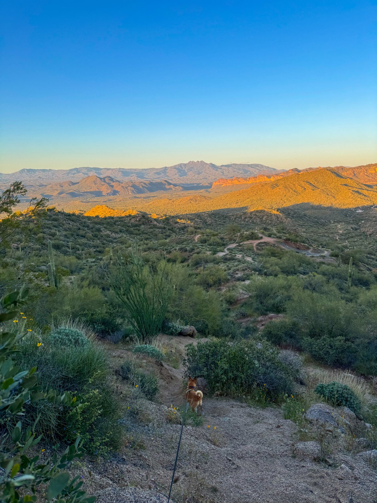
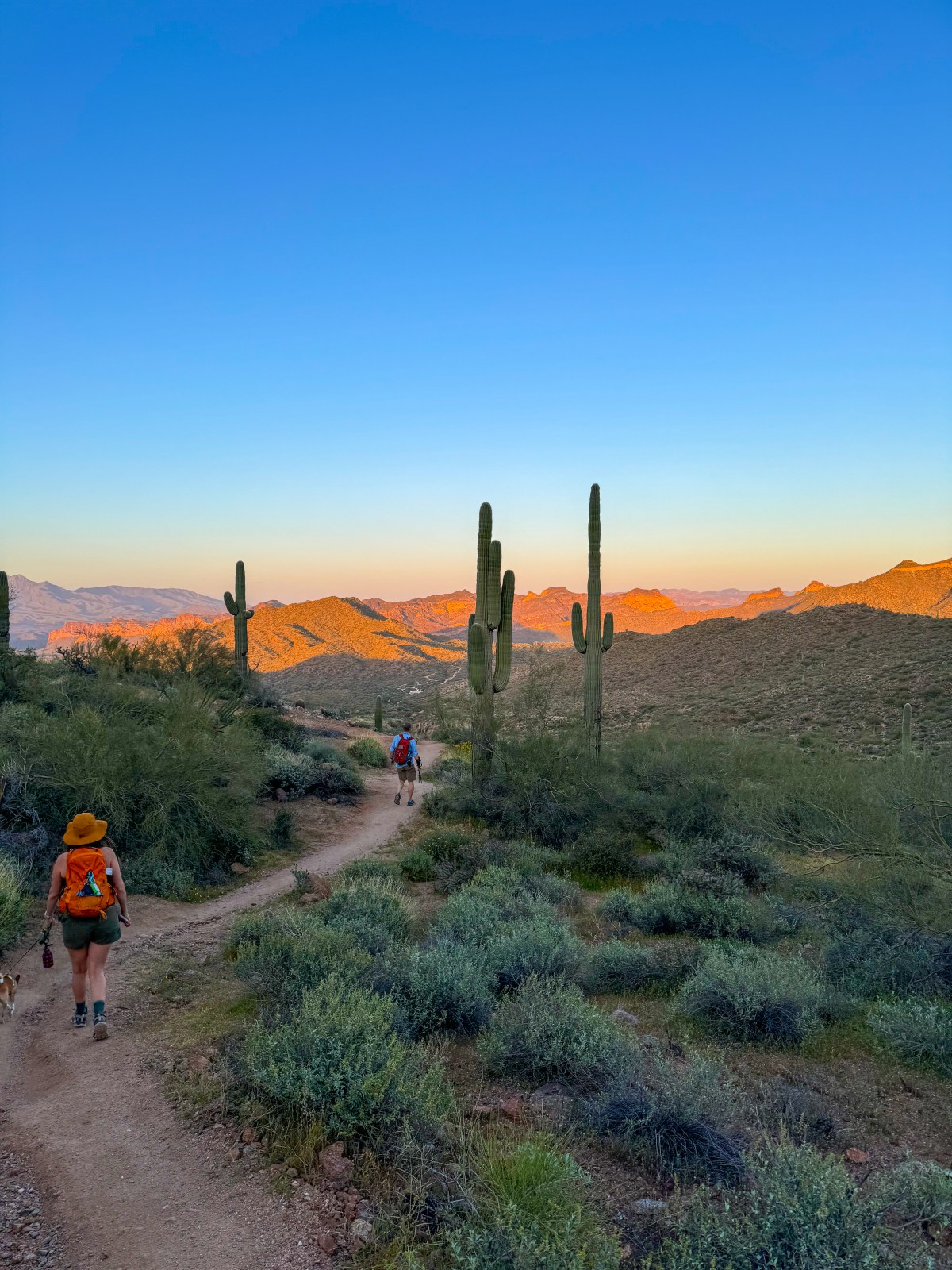
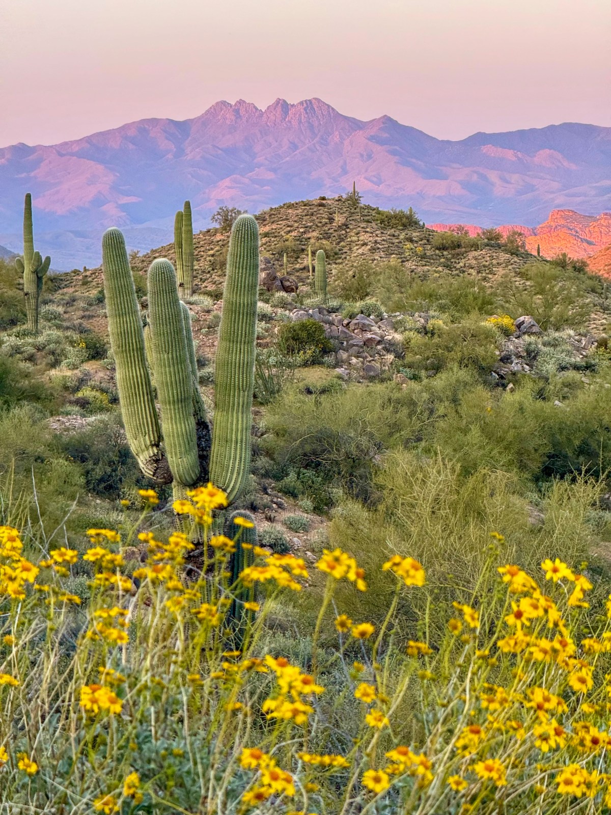
Located along the shore of Saguaro Lake, the Butcher Jones Trail is one of the most popular hikes near Mesa and it lives up to the hype. This out and back trail is just under 6 miles total and rewards hikers with stunning views of Four Peaks Wilderness and the lake near the turnaround point.
The path winds through classic Sonoran Desert scenery with a chance to see spring wildflowers and even wild horses near the water. It is a great option for a moderate day hike close to the city.
Yes (Tonto Recreation Pass or America The Beautiful Pass)
Difficulty:
Moderate
Water:
No water at trailhead
Pass Mountain Via Maricopa Trail
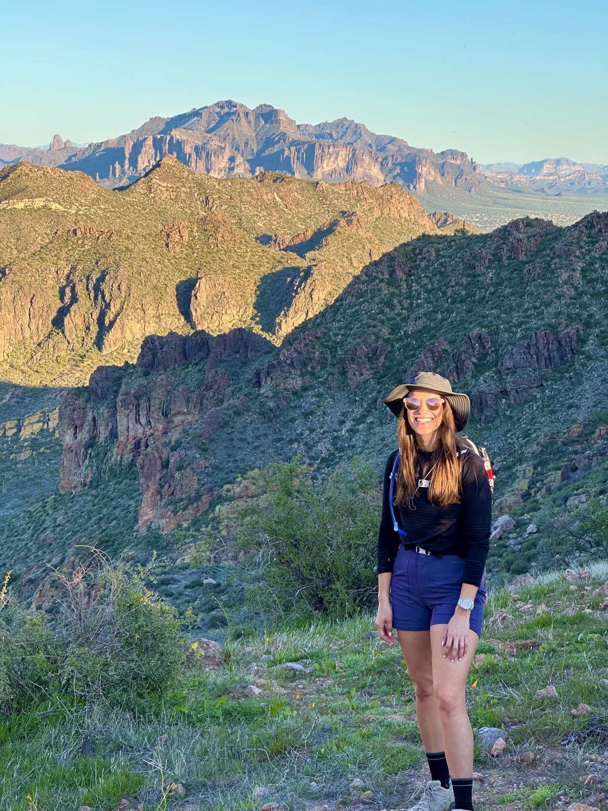
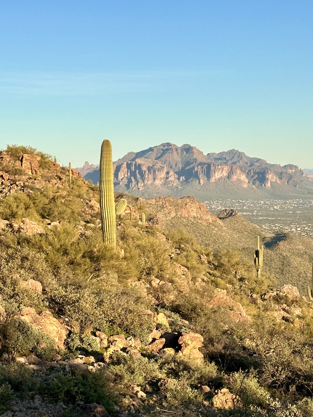
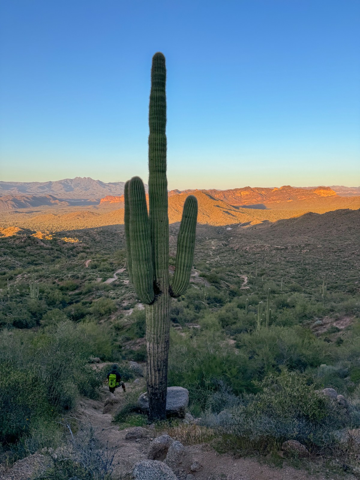
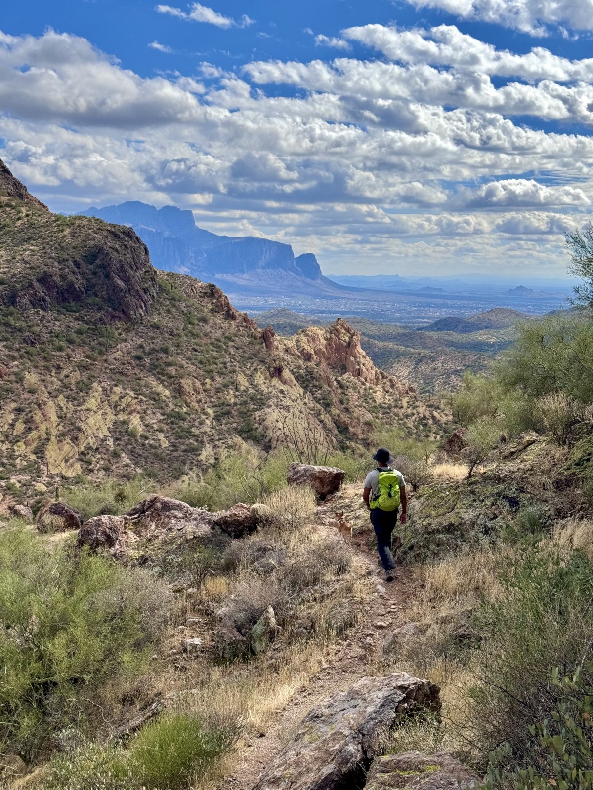
Pass Mountain is a challenging but rewarding hike near Usery Mountain Regional Park in Mesa. This route follows part of the Maricopa Trail and climbs steeply to the summit, where hikers are treated to panoramic views of the Superstition Mountains, Bulldog Canyon, and the McDowell Mountains.
While this trail offers incredible scenery, it can be steep and rocky in sections and may be hard to follow in places. Make sure to bring a map or use GPS navigation and wear sturdy shoes with good grip. Here is the link to AllTrails.
Quick Stats:
Length:
4 miles
Route Type:
Out and back
Elevation Gain:
1,250 ft
Vaulted Toilets:
No
Dog Friendly:
Yes
Fee:
No
Difficulty:
Difficult
Water:
No water at trailhead
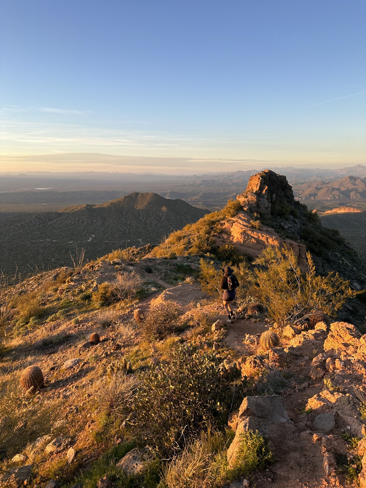
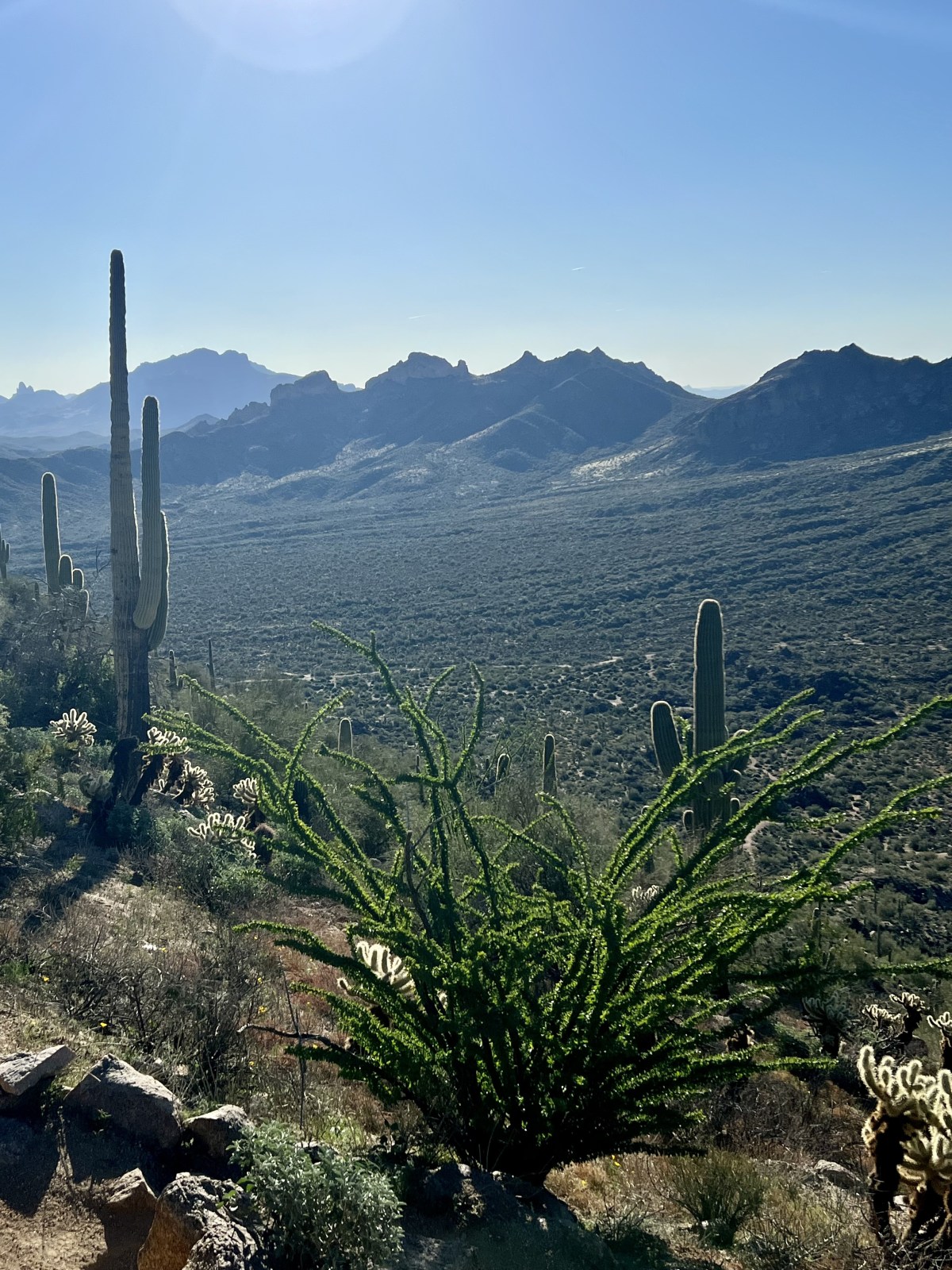
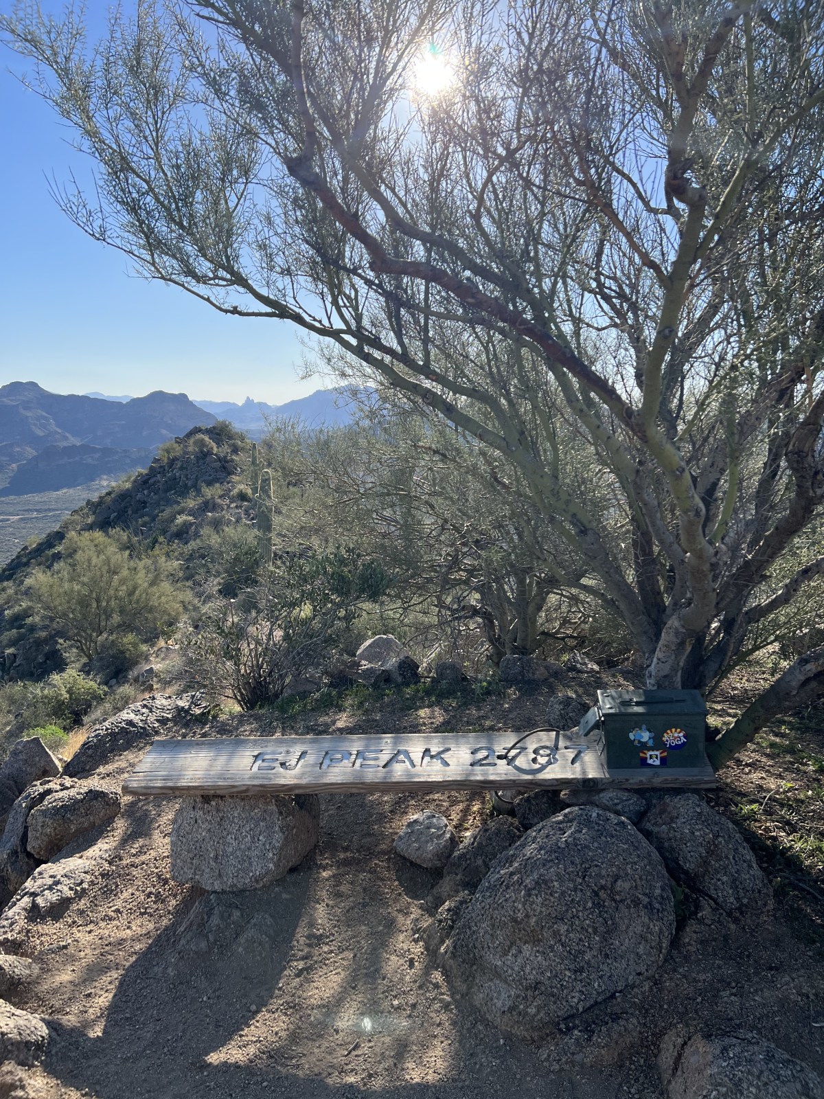
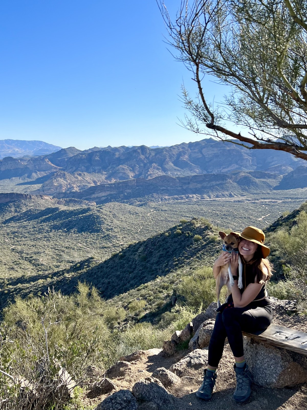
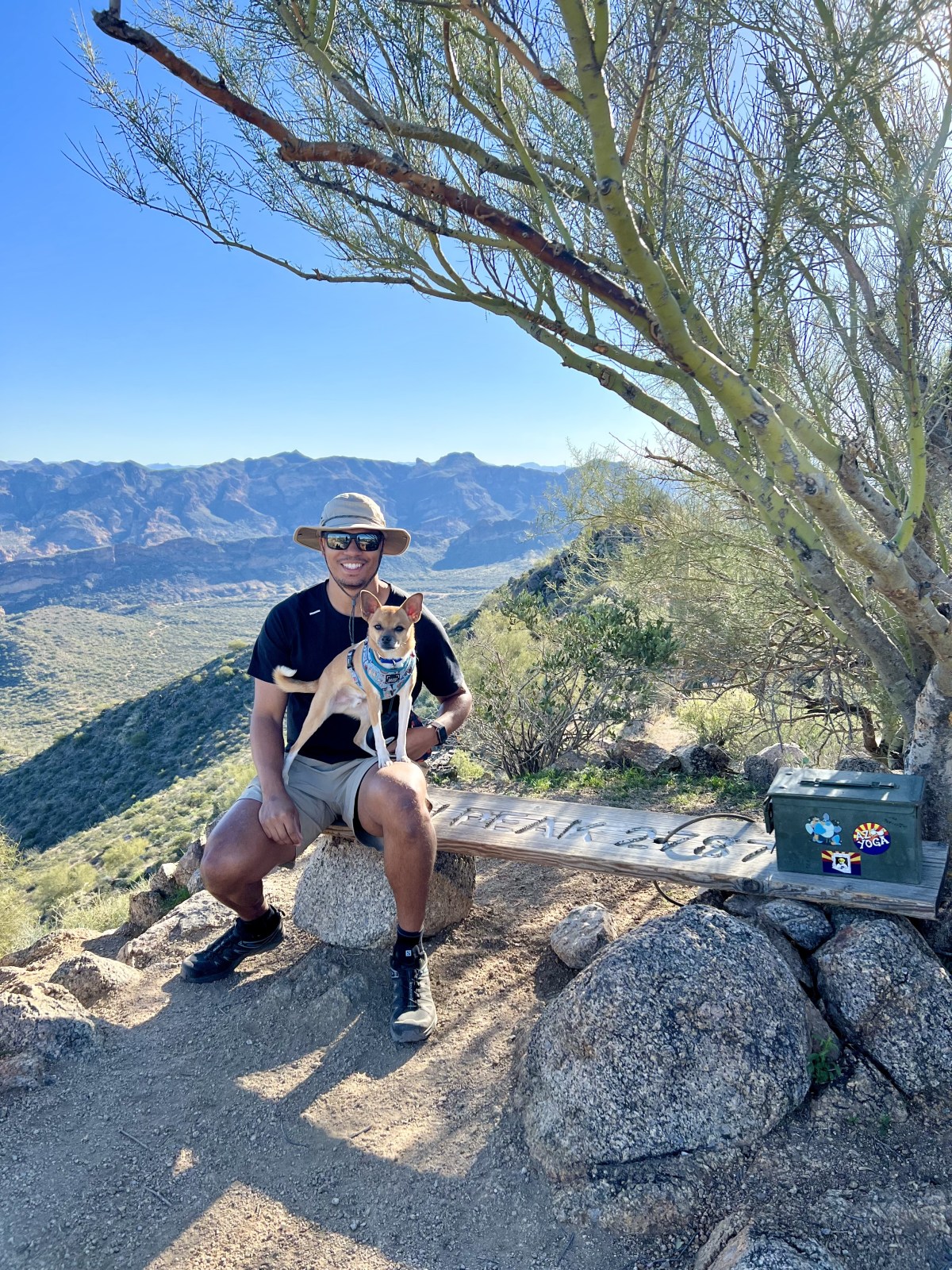
Lone Mountain/Ej Peak
Lone Mountain, also known as EJ Peak, is a short but scenic hike located just outside Usery Mountain Regional Park. It is a great option if you are looking for a quick adventure with rewarding views.
From the top, you will get a beautiful look at Weavers Needle, the Superstition Mountains, and the surrounding desert landscape. While it is a shorter trail, the route to the summit is still steep and rocky, so be prepared for a bit of a climb. Here is the link to AllTrails.
Quick Stats:
Length:
2.5 miles
Route Type:
Out and back
Elevation Gain:
800 ft
Vaulted Toilets:
No
Dog Friendly:
Yes
Fee:
No
Difficulty:
Moderate
Water:
No water at trailhead
Usery Mountain
Usery Mountain Trail is a popular hike within Usery Mountain Regional Park in Mesa. The trail starts with a gradual incline through beautiful desert scenery and becomes steep as you approach the summit, offering a great challenge for hikers looking to break a sweat.
This trail connects with others in the area and is also popular with mountain bikers, so stay alert and share the path respectfully. Here is the link to AllTrails.
Quick Stats:
Length:
4.5 miles
Route Type:
Out and back
Elevation Gain:
1,200 ft
Vaulted Toilets:
No
Dog Friendly:
Yes
Fee:
No
Difficulty:
Difficult
Water:
No water at trailhead
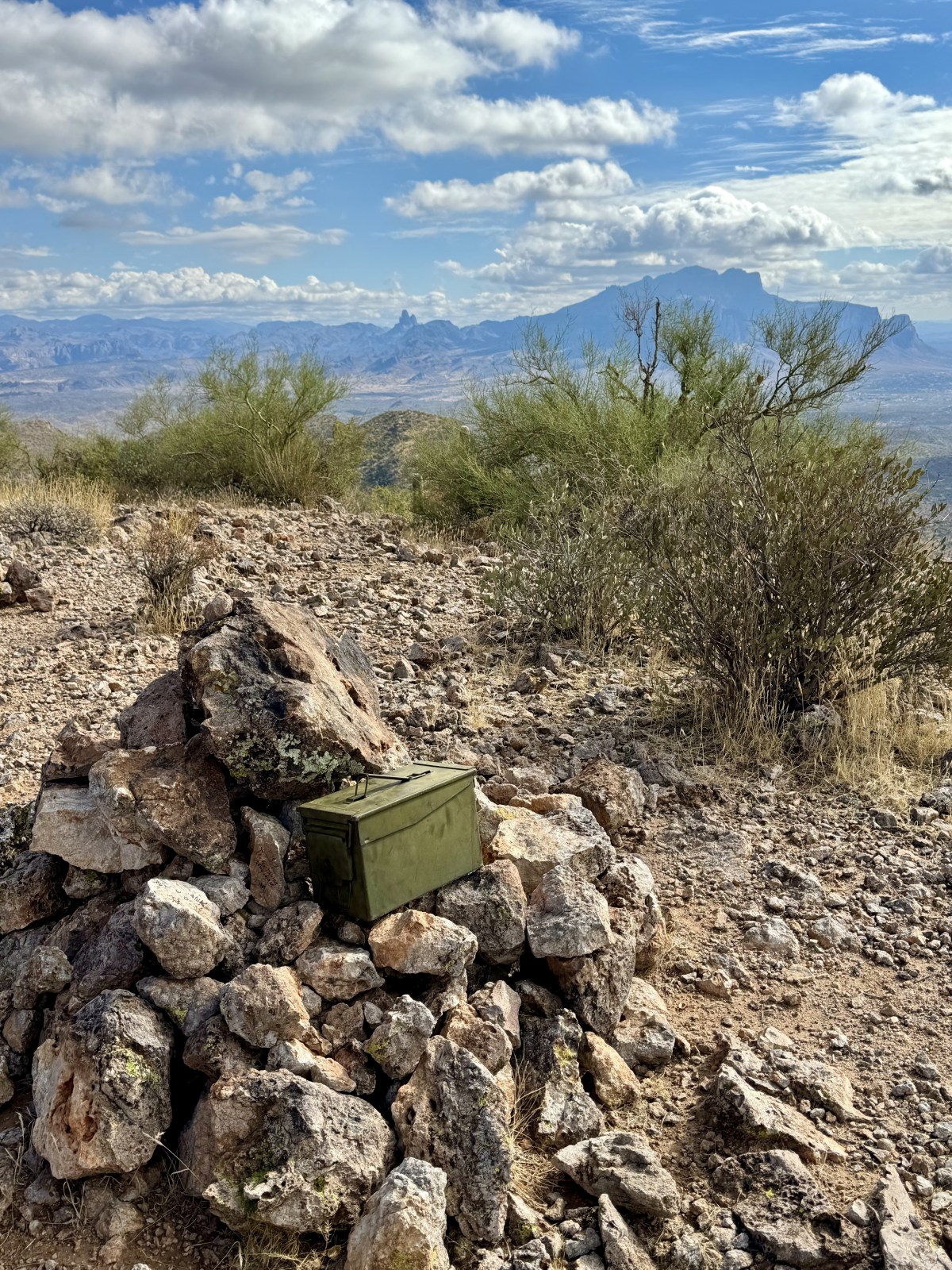
Dome Mountain
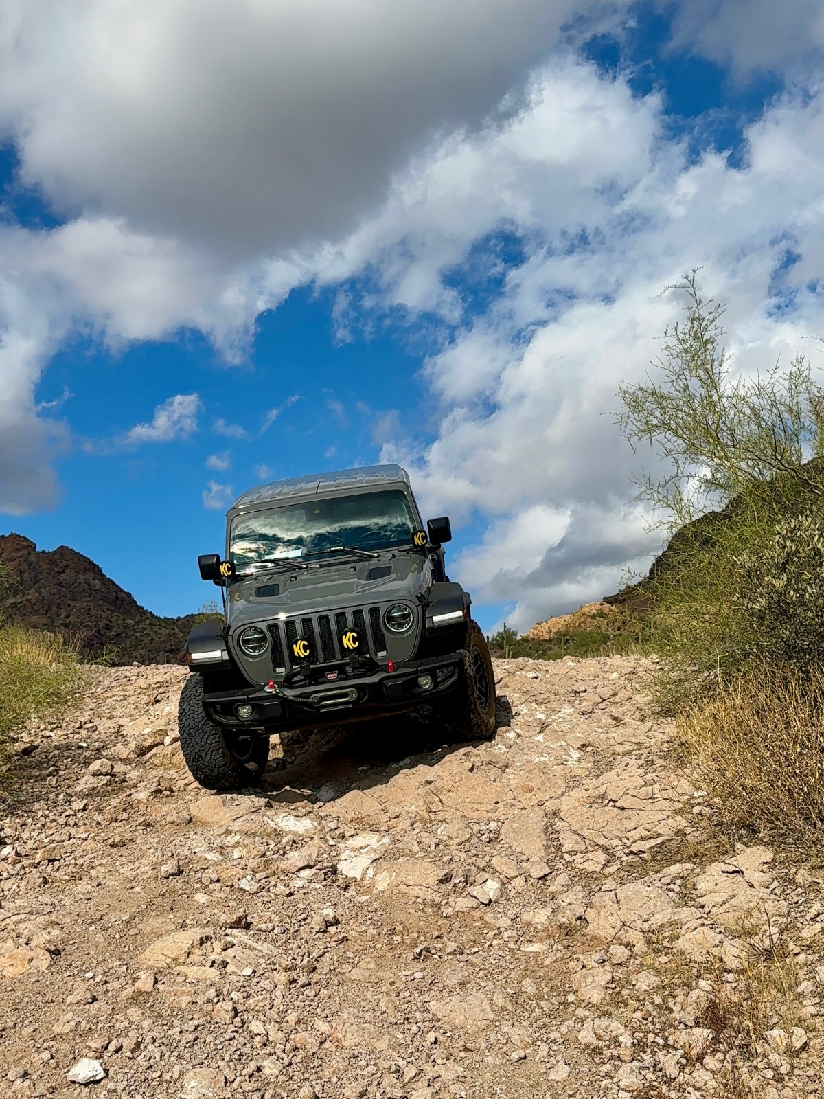
Dome Mountain is a scenic desert hike tucked inside Bulldog Canyon, offering remote views and fewer crowds. To reach the closer trailhead, you will need a Tonto National Forest OHV permit for Bulldog Canyon. This permit provides the gate codes needed to access the road system, and a high clearance vehicle with four wheel drive is strongly recommended.
If you do not have a permit or the right vehicle, you can still hike in from the main road. This option turns it into a longer adventure of about 6 miles round trip. Here is the link to AllTrails.
Quick Stats:
Length:
2.6 miles
Route Type:
Out and back
Elevation Gain:
1,098 ft
Vaulted Toilets:
No
Dog Friendly:
Yes
Fee:
Yes (Bulldog Canyon OHV Permit)
Difficulty:
Difficult
Water:
No water at trailhead
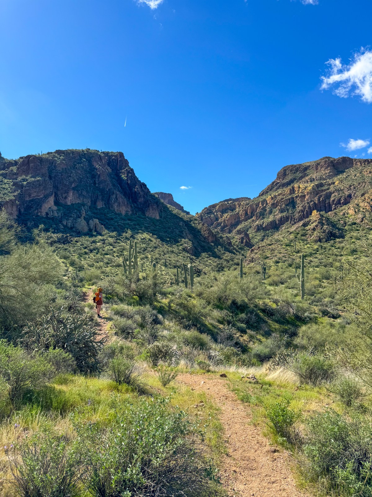
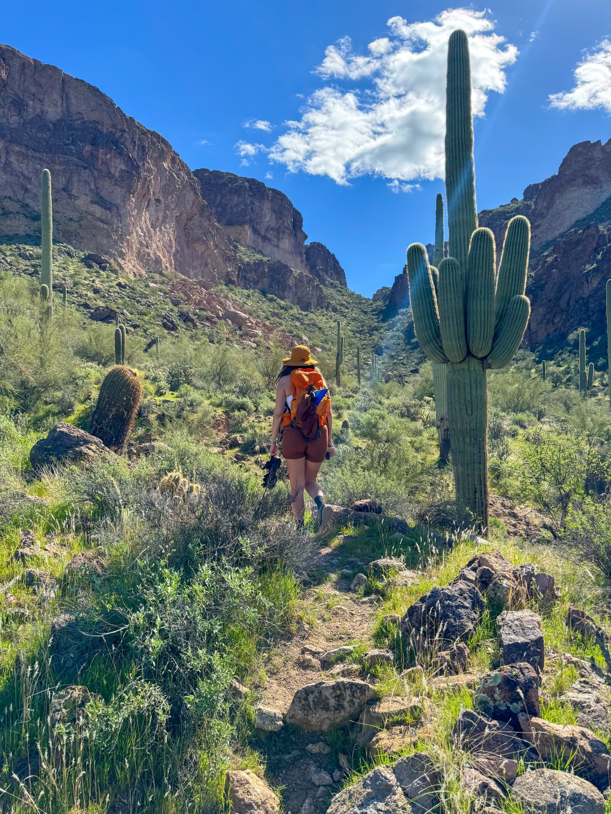
Gateway Canyon
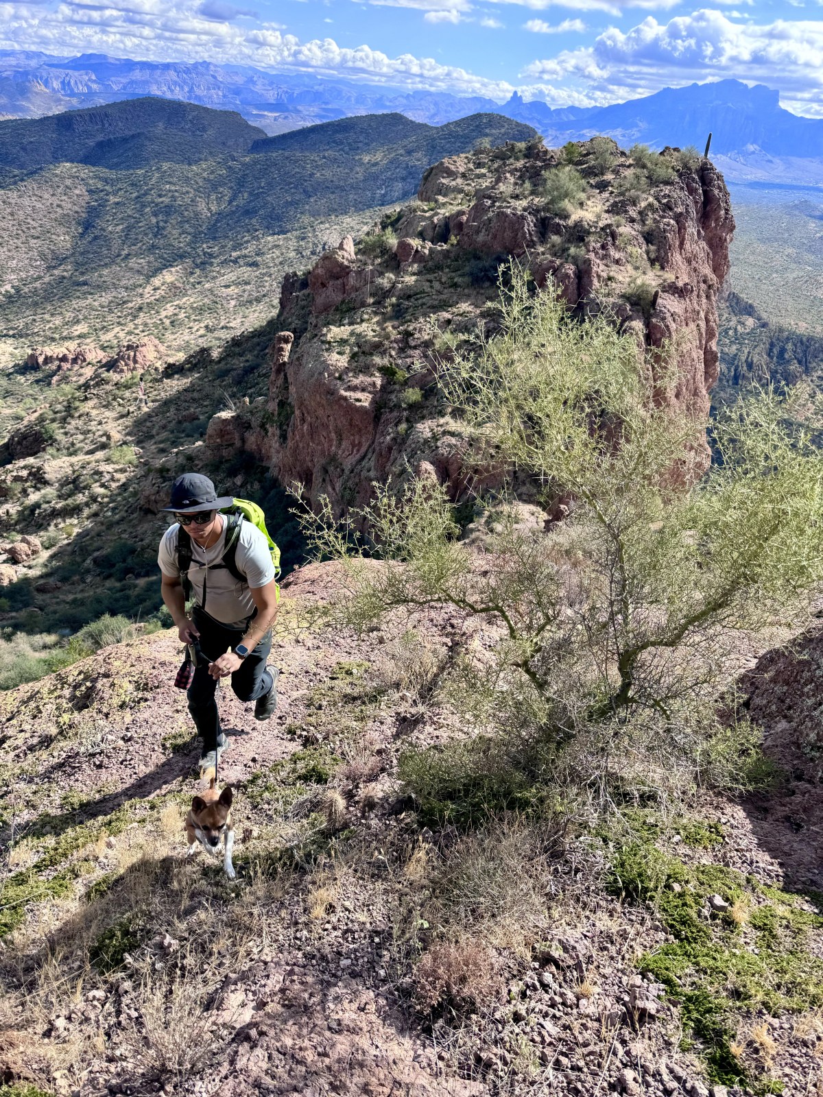
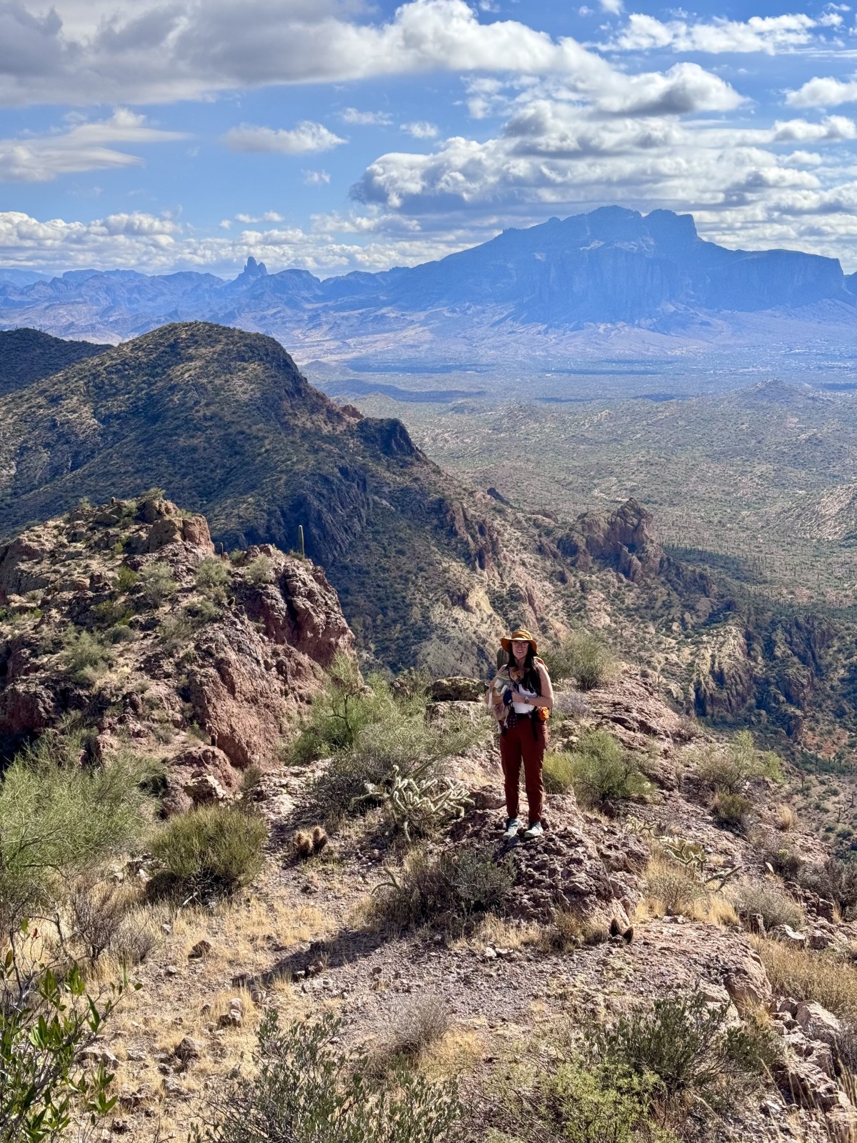
Gateway Canyon is a challenging and lesser known hike near the Bulldog Cliffs and the Lower Salt River. This trail is best suited for experienced hikers, as the route can be hard to follow and involves a rock scramble near the top.
Despite the difficulty, the canyon scenery is stunning and offers a sense of solitude you will not find on more popular trails in the area. It is a great choice if you are looking for a rugged adventure close to Mesa. Here is the link to AllTrails.
We started The AZ Hikeaholics as a way to share our adventures with an audience that was interested. It soon grew into a community and we were all in! The more we learned about the history, geology, culture, biology etc, of the places we were exploring, the more we wanted to know.