Superstition Wilderness Petroglyphs
The hike on Hieroglyphic trail to the Petroglyphs in the Superstition Wilderness of Tonto National Forest is a popular trail for good reason. It’s a relatively short out and back with less than modest elevation gain that is gradual. However, because it’s popular, it’s more susceptible to vandalism and litter. We need everyone to do their part to protect our natural beauty and Native American history. If you are visiting and witness destruction, please document it and report it immediately Forest Service Law Enforcement & Investigations online or at (602) 225-5237.
It is extremely important to Leave No Trace. This means to not carve into the canyon walls, and especially do not destroy the petroglyphs. We saw carvings right by the petroglyphs. This is disrespectful, illegal, and beyond frustrating to see. We also saw cigarette butts and sunflower seeds on the ground. Please always pack out everything. Having a cigarette in the wild is super dangerous and can cause a wildfire. Cigarettes also have chemicals in them that aren’t good for the soil and for animals to digest.
Need to Know
This is the Sonoran Desert, home to many sharp and spiny plants, venomous reptiles and spiders, and larger wildlife like mountain lions, coyotes, and bighorn sheep. Pay careful attention to your surroundings and always hike snake aware. The Superstitions are remnants of volcanic activity. The rocks are sharp, jagged, and large. We highly recommend stable footwear with good protection.
Superstition Wilderness Area
This entire hike is in federally designated Wilderness Area, meaning it’s closed to all motorized equipment and bicycles. Hikers and horseback riders are allowed, and on weekends there is a good chance you’ll see horseback riders. Most importantly, this area is closed to drones.
Quick Stats: Hieroglyphic Trail #101
Length:
3 Miles
Route Type:
Out and back
Elevation Gain:
574ft
Vaulted Toilets:
Yes, port-a-potty
Directions to Hieroglyphic Trail
To get to trailhead for Hieroglyphic Trail in the Superstition Mountains from the Phoenix Metro area, you’ll take the US 60 East towards Globe, AZ. It’s easiest to follow the directions from Google Maps or Apple Maps. You’ll exit the highway in town of Gold Canyon. There are street signs pointing towards the trailhead and numerous NO PARKING signs on the road. The navigation app of your choice will lead you through the neighborhood and to the trailhead. Checkout the Satellite view on maps to see the size. The parking lot is medium sized but will probably fill up quick in the perfect weather months.
Below is taken directly from the Tonto National Forest Website
Please note: Parking at the Cloudview Trailhead is very limited. Spaces fill up quickly. Plan accordingly. Have an alternative option in mind if the lot is full. Please respect all posted no parking and no trespassing signs. If the trailhead parking is full, please try the Lost Goldmine East Trailhead. No buses or vehicles/trailers longer than 37 feet are allowed in the parking area. Illegally parked vehicles will be towed; before recreating at the owner’s expense.
Hiking Hieroglyphic Trail
Overall, the trail is quite easy to follow with additional signs along the way. In the start there is very little to no shade as most of the trail navigates through the saguaro cactus forest of the Sonoran Desert. After not long, the trail crosses into the Superstition Wilderness Area of Tonto National Forest. There is a gate in place to prevent animals from crossing, please be sure to close the gate behind you.
Once in the Superstition Wilderness Area the trail remains well marked. Typical to the area, the trail was quite rocky with terrain consisting of scattered rocks and small boulders. We find these trails to be hard on the ankles in both directions and tougher on knees going down. We recommend a hiking boot or shoe with good stability. Overall there was not much elevation gain, only 567 feet.


This area is home to a lot of rattle snakes! We saw a few on the road driving in and on trail we almost stepped on one. The snake is circled in the first photo and Owen’s phone fell out of his pocket as he jumped away after hearing the snake rattle. Rattle snakes are most active in the 80° F temperature range. They hunt when their prey is most active at dawn and dusk. And they like to thermal regulate their bodies in the shad under rocks or bushes to cool down, and on rocks and sunny locations to warm up.
The Petroglyphs
Early in the morning, shade will return as you get closer to the petroglyphs and trail enters the mouth of the canyon. Along the trail are massive saguaro cactuses and in late May, when we first hiked this trail, most were in their annual bloom. Closer to the petroglyphs are a cluster of stunning saguaros with towering heights, plenty of arms, and a healthy girth. Shortly thereafter the petroglyphs start. They’re on the west side of the canyon and they’re absolutely amazing! So many questions come to mind; what was their life like? What did the area look like back then? Who exactly left the petroglyphs? Please do not touch or destroy, it is a crime.
During the rainy times, there are some beautiful pools that fill with water. It had rained a few days before our May hike, but not enough to fill the pools and keep them full. However, we timed our September hike for the day after monsoon storms had finished and there was water in the pools. The canyon and pools are a natural collection point for water that runs off the surrounding cliff sides and mountains. As you look north and up in the canyon, you can see Superstition Peak 5057, the tallest peak in the Superstition Mountains. Hieroglyphic Trail does continue to the Superstition Ridgeline trail, which connects to Peak 5057, but reviews say it’s quite challenging and not well marked. We hiked to Superstition Peak 5057 at a later date starting at Carney Springs and we also hiked the Superstition Ridgeline Trail at a later date from Siphon Draw to Carney Springs


What Else
- New to hiking and looking for tips? Check out our blog post Hiking Tips for Beginners: Be Prepared
- To see what gear we like to use, check out our post here. We also have individual posts about what we like to use here: Lauren | Owen.

5 Best Hikes in the Superstition Mountains
This guide highlights the five best hiking trails in Arizona’s Superstition Mountains, showcasing stunning views, diverse terrains, and varying difficulties. It emphasizes outdoor ethics and provides specifics on each trail, including distance, elevation, and amenities. The trails cater to different experience levels, ensuring memorable adventures in the desert landscape.

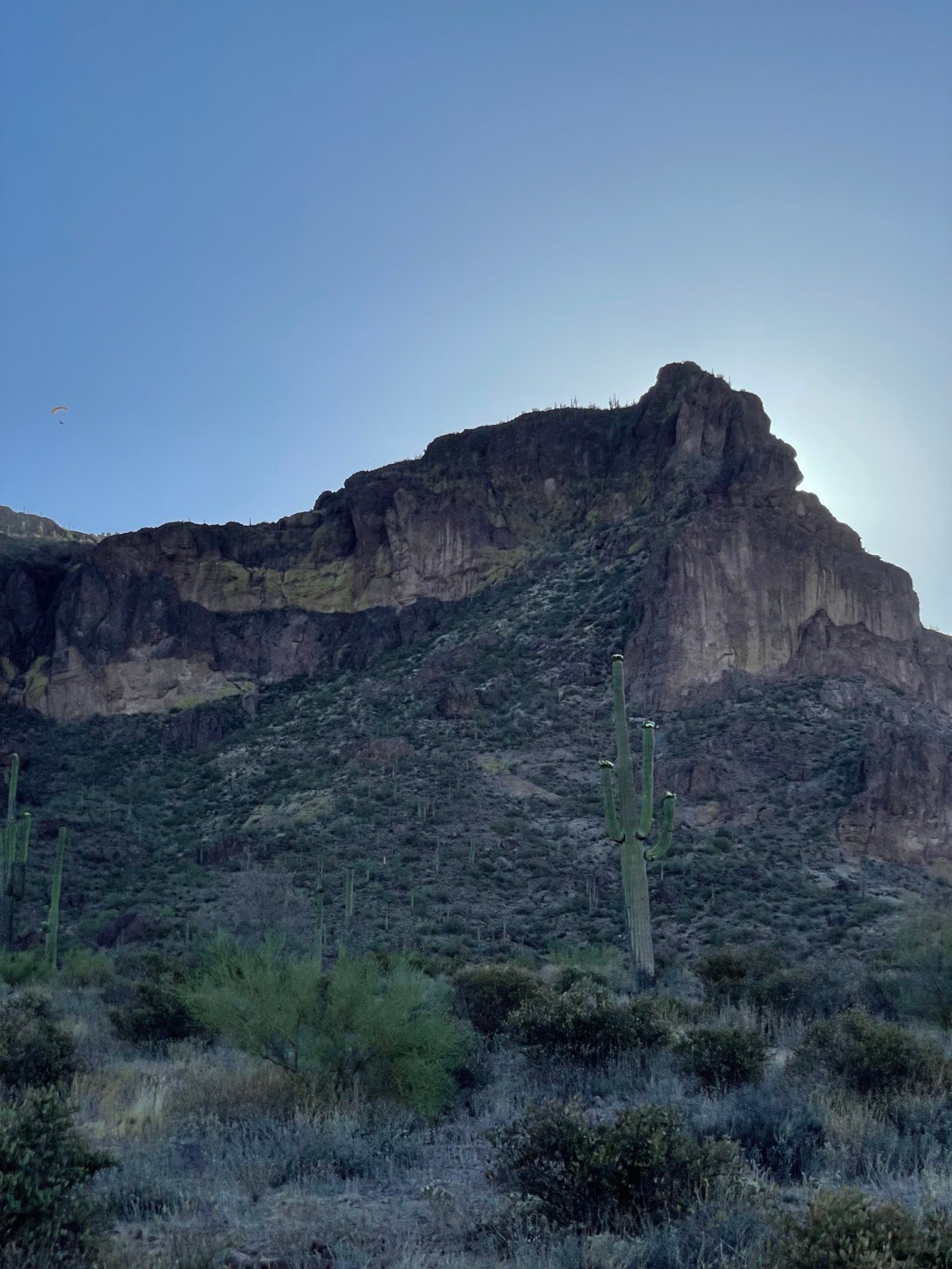
Flatiron Hike via Siphon Draw Trail: Superstition Mountains
Flatiron, a challenging hike in the Superstition Mountains, offers stunning views but requires careful planning. The 5.5-mile route with 2,641ft elevation gain includes steep terrain. Start early, bring sunscreen, and leave no trace. Parking fees vary.
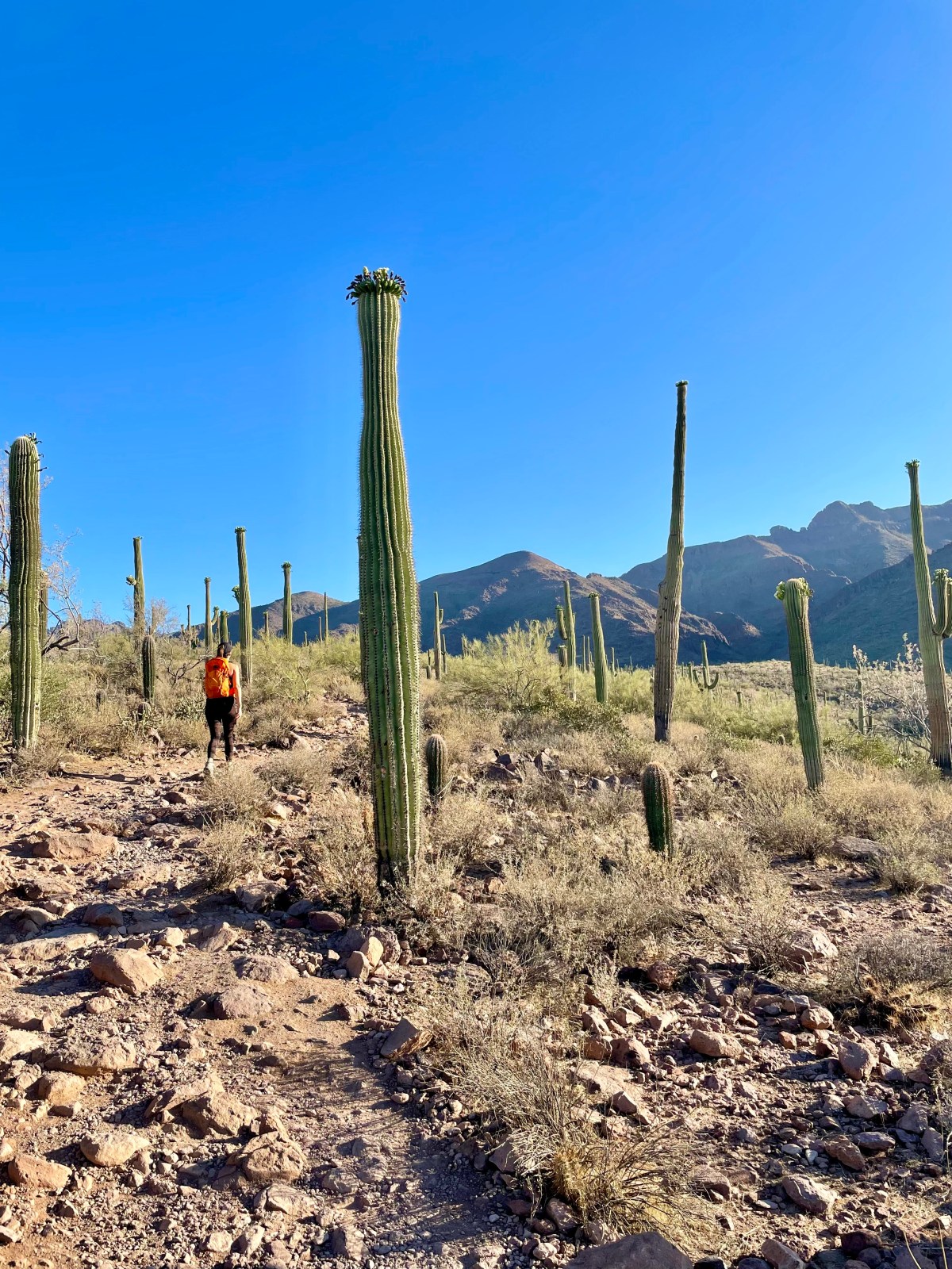
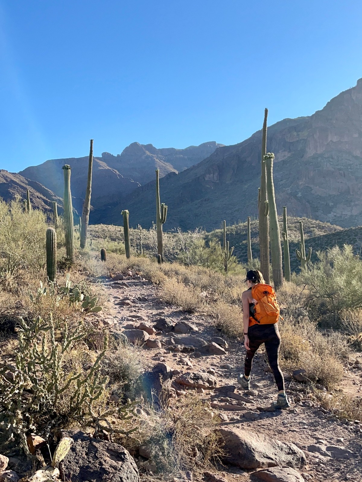
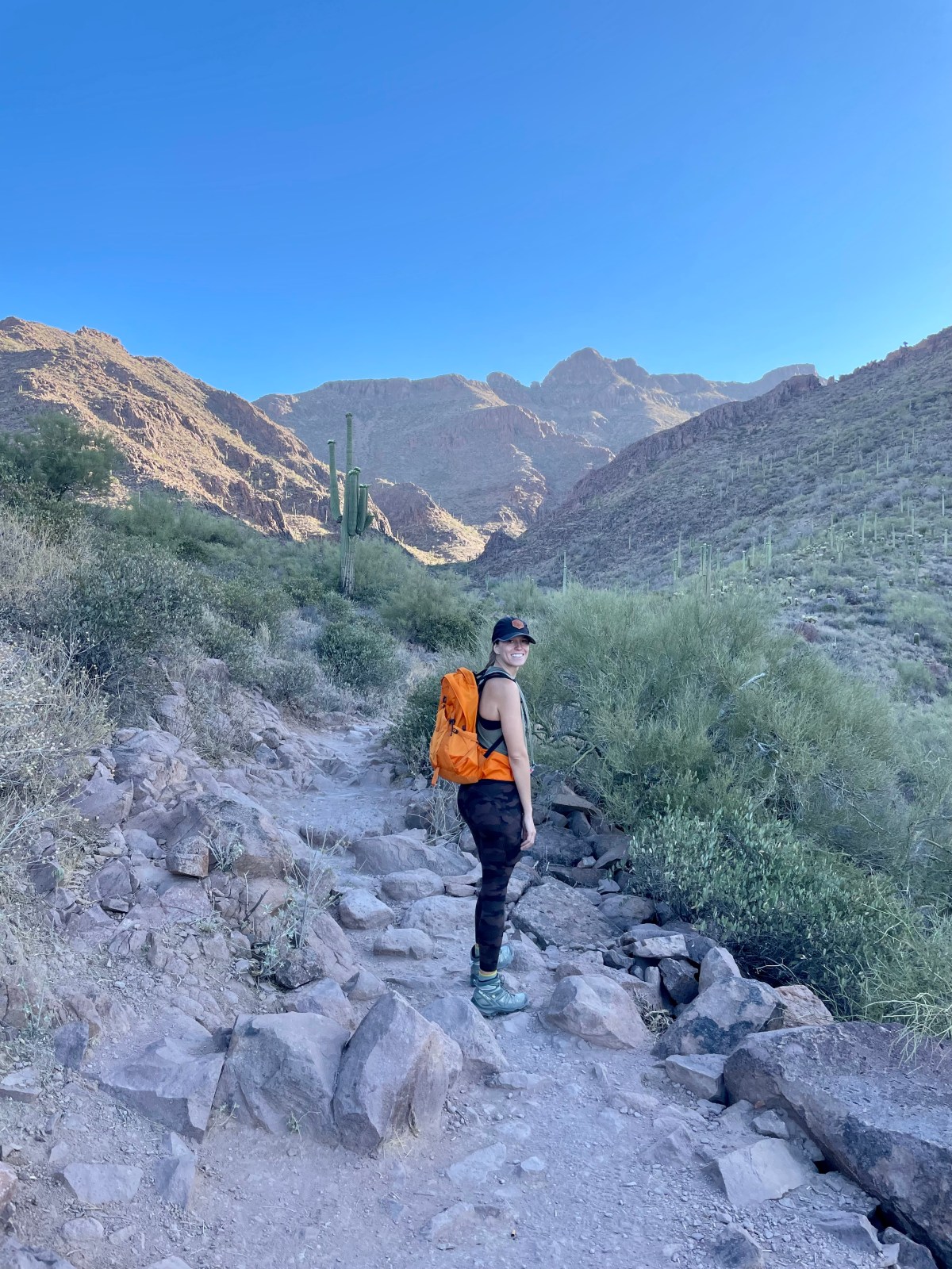
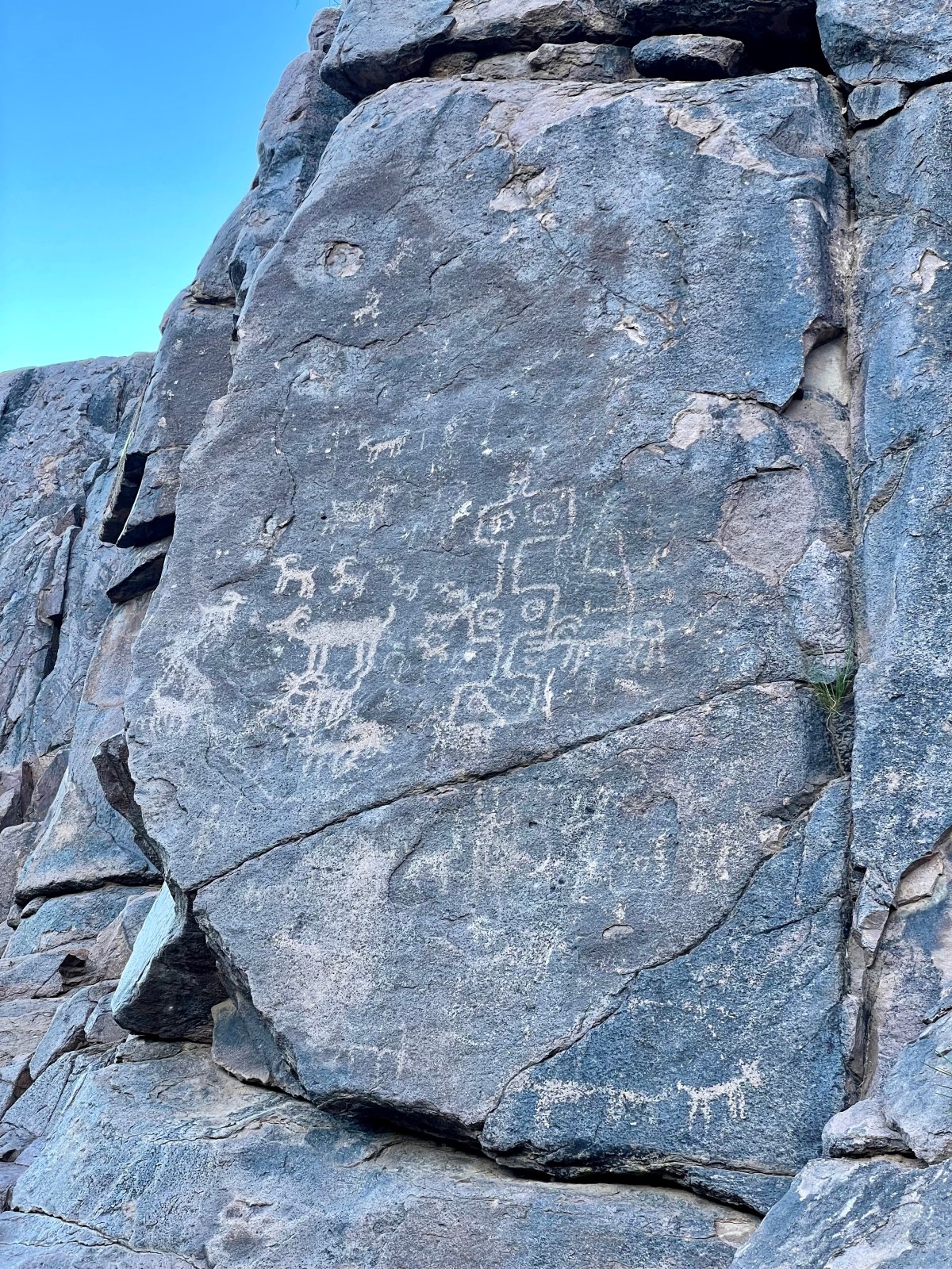
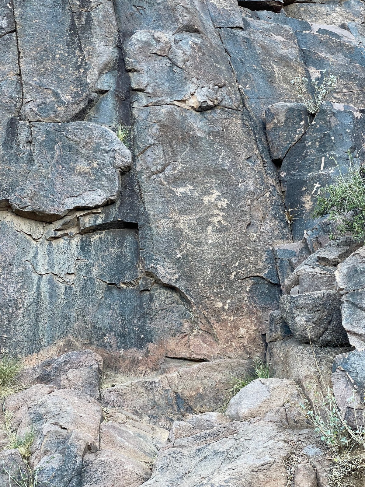
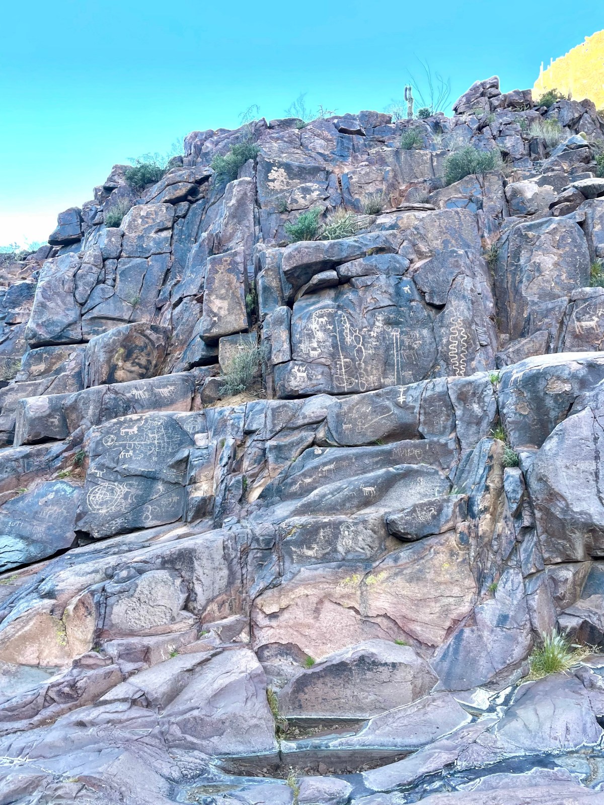
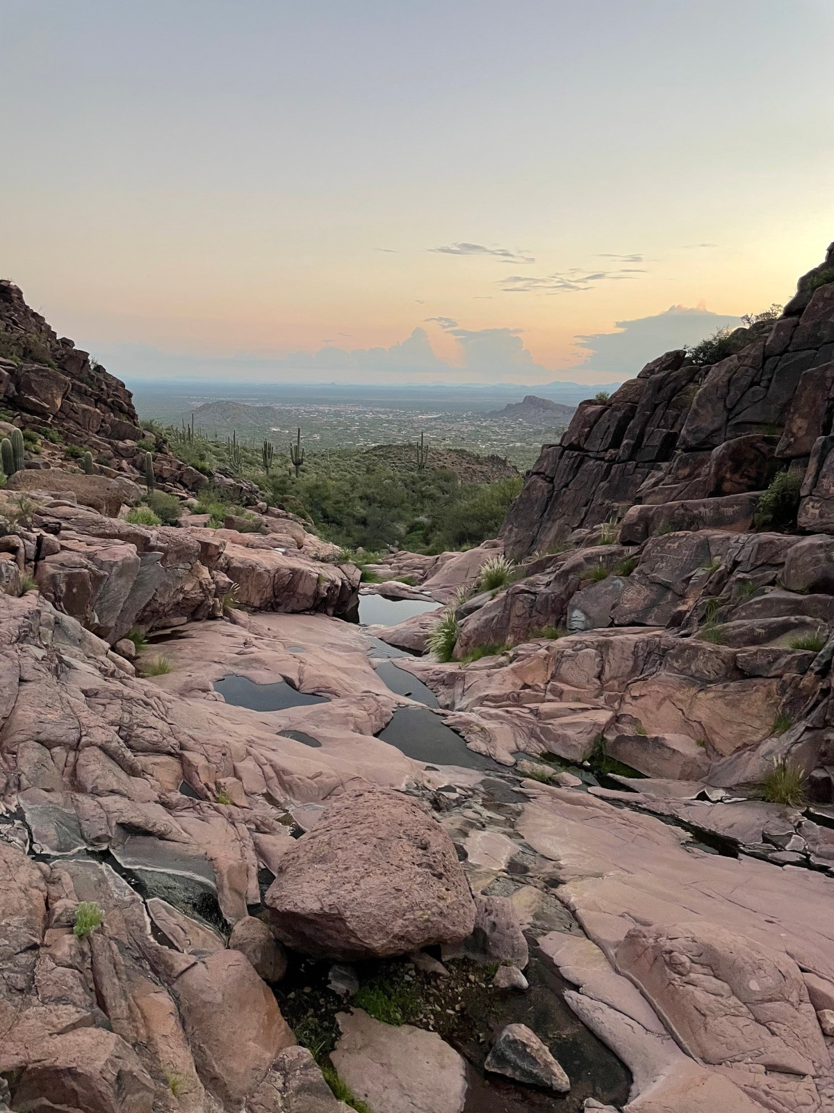
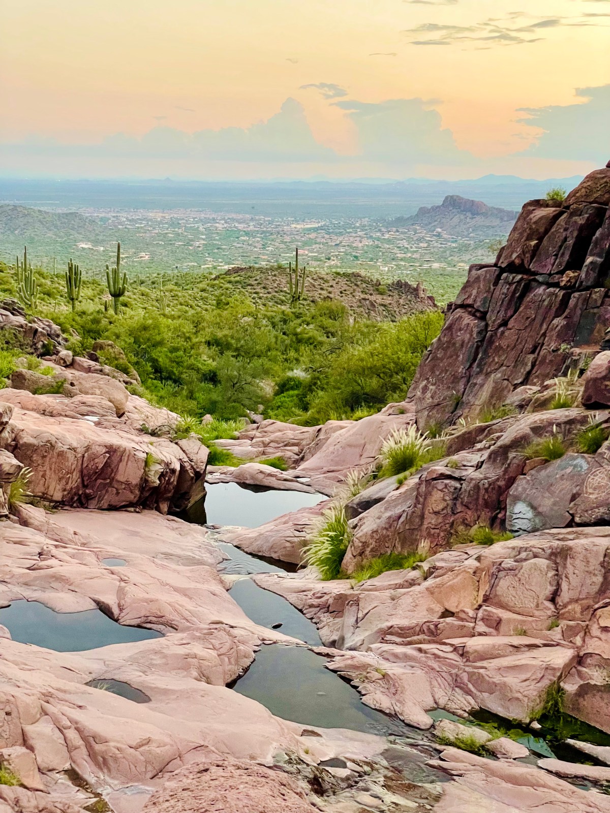
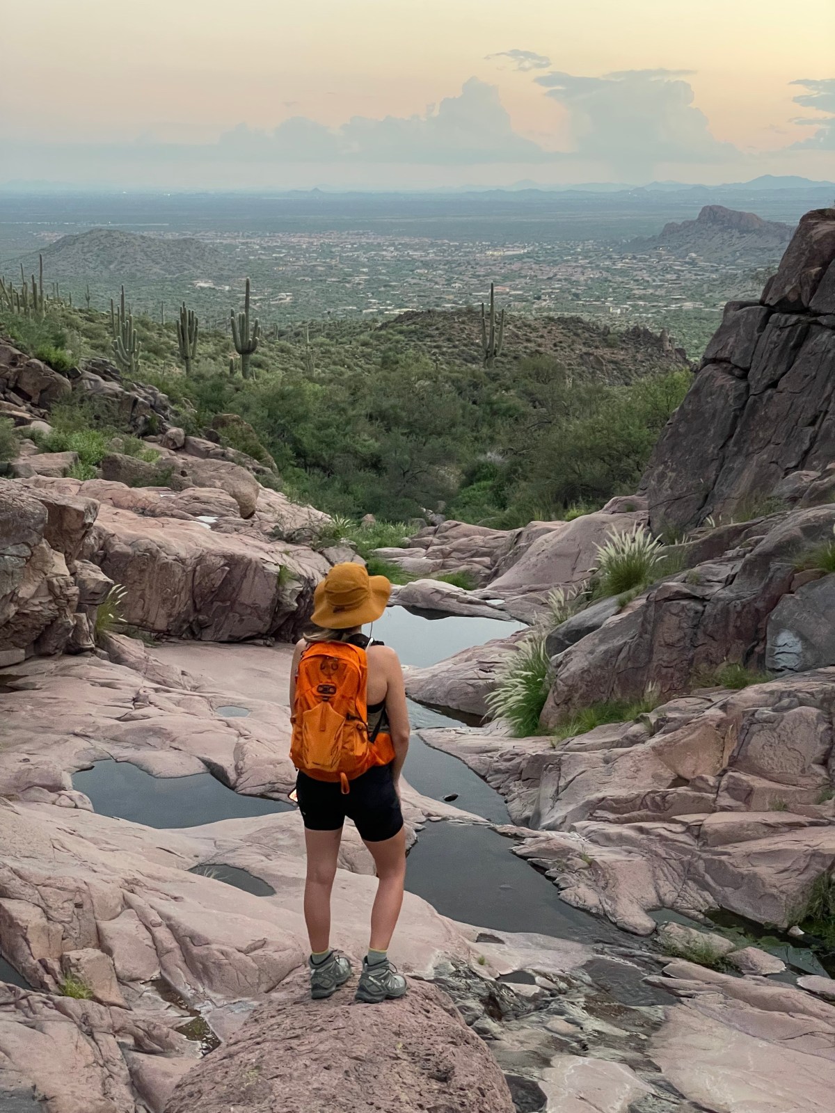
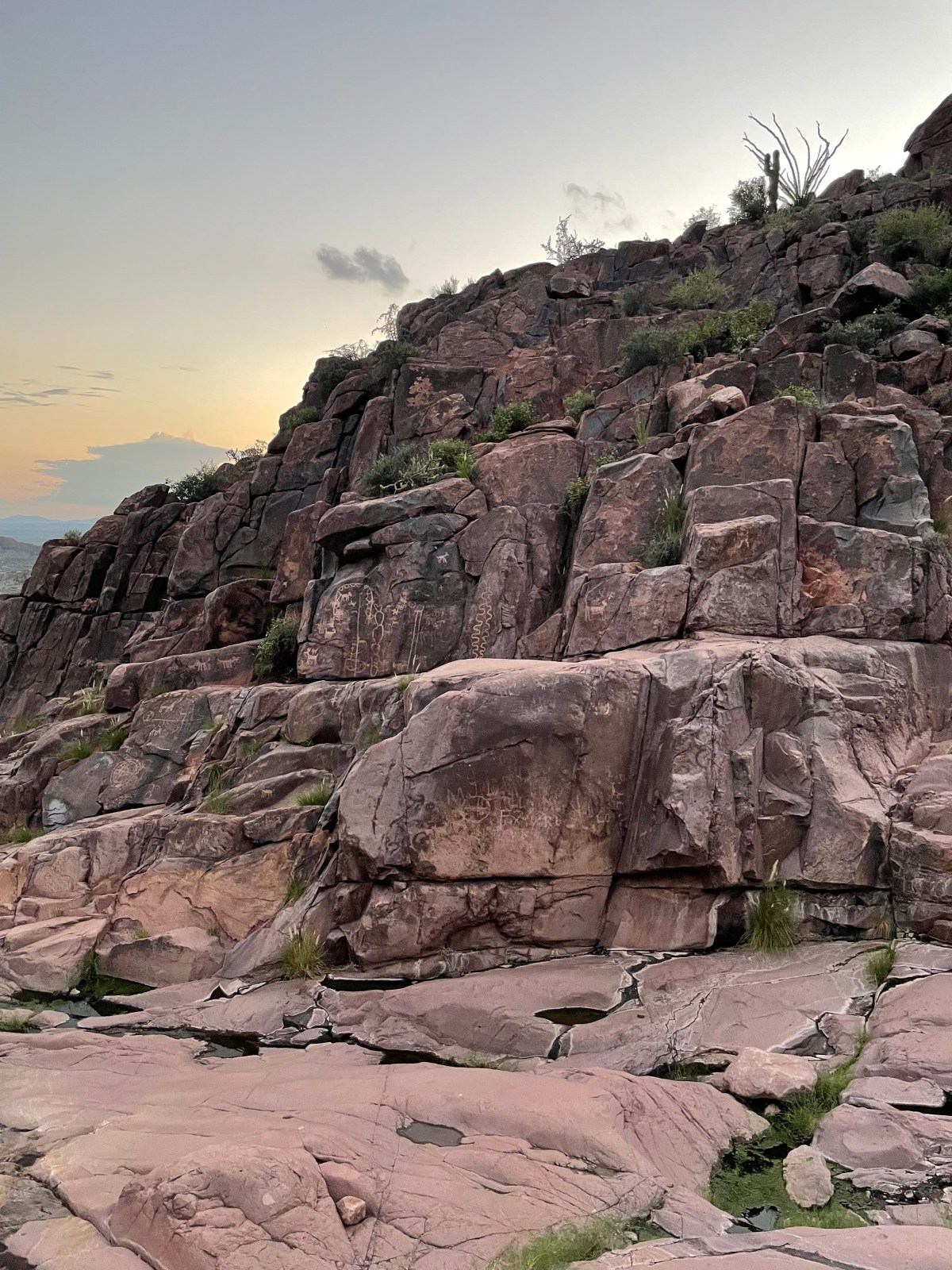
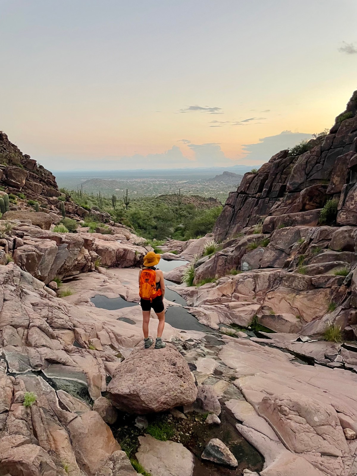
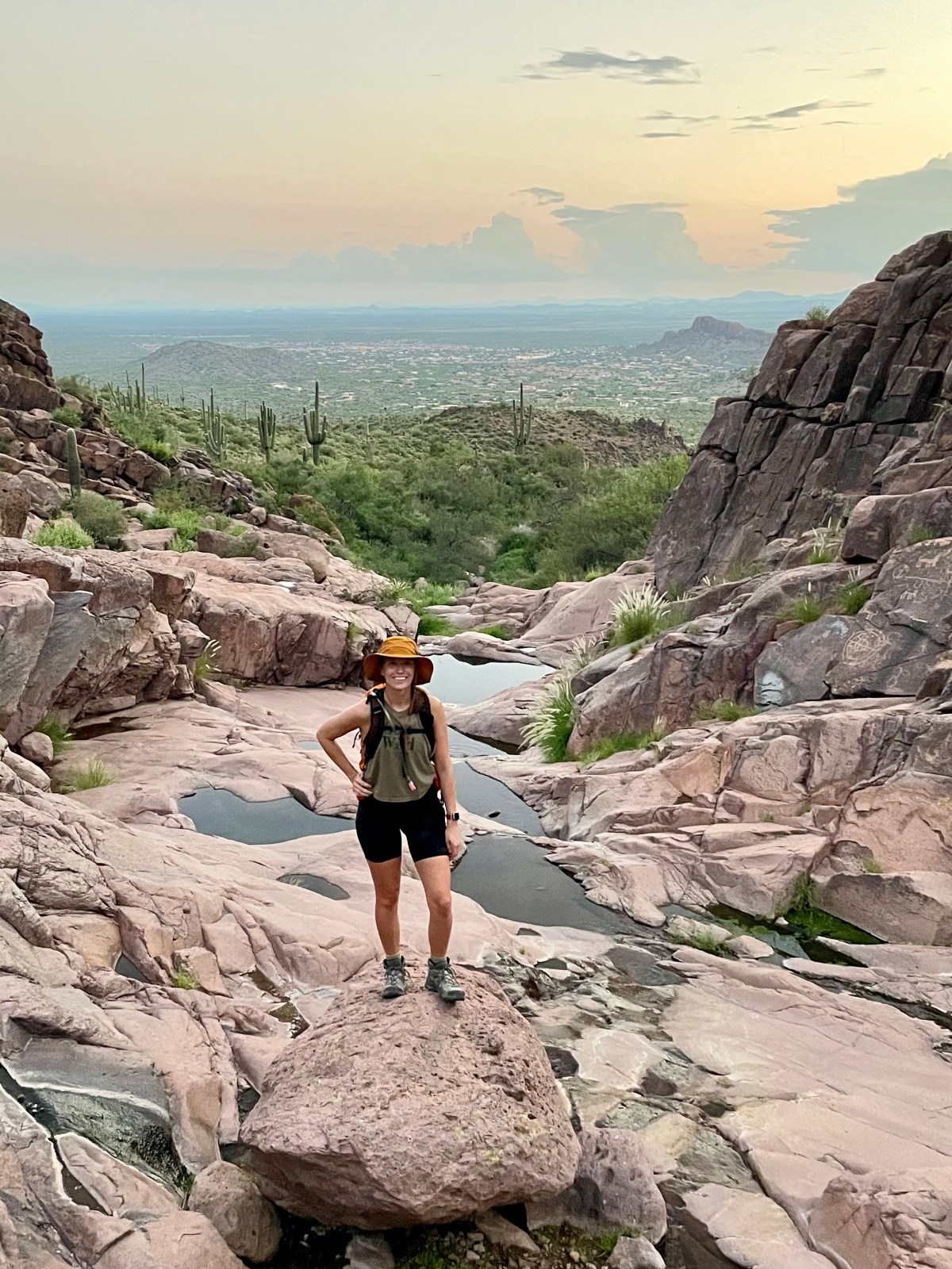
Hike The Wave Cave: Superstition Wilderness
The Wave Cave hike in Arizona offers a 3.2-mile out-and-back trail with an 872 ft elevation gain. A permit is required for parking. The hike starts with a steady incline and becomes steep as you approach the cave, offering beautiful desert scenery and a phenomenal view.