Bell Rock Pathway Overview
Driving into Sedona on State Route 179, visitors are immediately greeted with sweeping views of Bell Rock, Courthouse Butte, and Cathedral Rock—some of the most iconic formations in Red Rock Country. Beyond the scenic byway, this area is home to a well-connected network of trails popular with hikers, mountain bikers, and horseback riders.
On the eastern side of Highway 179 you’ll find three main trailheads: Bell Rock Vista, Courthouse Vista, and Little Horse. The Bell Rock Pathway links all three, creating easy access to countless connecting trails. Some of the best views in Sedona can be found on the paths winding around and between Bell Rock and Courthouse Butte, making this area a must for both first-time visitors and seasoned Sedona adventurers.


Need to Know
Coconino National Forest & Red Rock Pass
These trailheads are all within Coconino National Forest’s Red Rock Country and Ranger District. Therefore, a Red Rock Pass or appropriate Interagency Pass is required for all vehicles parking in the lot. Each parking lot does have a kiosk to buy a pass or they’ll also available at National Forest Visitor Center. Additionally, only one pass is needed for the day and is good at all National Forest trailhead parking lots as long as you hang onto it.
Munds Mountain Wilderness
Both Bell Rock and Courthouse Butte are within federally designated Wilderness Area: Munds Mountain Wilderness. This means that by federal law motorized and mechanical vehicles are not allowed. Mountain bikes and drones are not allowed in the wilderness.
Leave No Trace
Sedona is one of the most popular tourist attractions in Arizona, and for good reason. It’s stunning, the weather is generally great, and there is a lot to do in the relatively small area. However, the high traffic of people and vehicles has made the area even more sensitive to human impact. It’s extremely important to practice the 7 Leave No Trace Principles and T.R.E.A.D. Lightly Principles when visiting.
Bell Rock Vista & Big Park Trailhead
This parking lot is just north of the Village of Oak Creek (VOC) and is the first major trailhead most visitors come across. Unfortunately, during peak season it’s often quite busy but if you’re patient a spot will eventually open. However, it is frustrating having to wait. Pro Tip: keep an eye out for those just getting out to take a photo, they will most likely leave quickly.
At the parking lot there are vault toilets, trash cans, and benches for a picnic.
Hiking Options
From this parking lot we’ve hiked and mountain biked. We hiked Big Park Loop to Courthouse Butte Trail and then connected to Llama Trail and eventually connected to Bell Rock Pathway and back to the trailhead. A similar trail can be found here on AllTrails. This route is not for mountain bikers as it does enter wilderness area where bikes are not allowed.


Mountain Biking
For mountain biking we did the full Big Park Loop and then took Bell Rock Pathway trail around the the western side of Bell Rock. From there we connected to Phone Line Trail for a short time before getting back on Bell Rock Pathway trail. Our mountain biking route was somewhat similar to this on AllTrails.


Courthouse Butte Vista Trailhead
Similar to the trailhead just south, Courthouse Butte Vista Trailhead can get crowded quickly. However, most here just do a short hike or take some photos and leave. From here, you can access the Bell Rock Pathway and connecting trails as well as scramble up Bell Rock in Munds Mountain Wilderness.
At the parking lot there are vault toilets, trash cans, and benches for a picnic.
From this trailhead we did a loop heading north on Phone Line Extension Trail that quickly connects to Bell Rock Pathway trail. We took this trail to its intersection with HT trail which we took west towards Cathedral Rock. The trail leads under SR 179. On the other side of the highway we took Easy Breezy Trail south towards Bell Rock. We took Templeton Trail back under the highway and reconnected to Bell Rock Pathway. Our route was similar to this on AllTrails.


Little Horse Trailhead
The Little Horse Trailhead parking lot is the smallest of these three and the northern most. It does fill up quickly. However, the Sedona Shuttle does drop off and pick up hikers here. At the parking lot there are vault toilets, trash cans, and benches for a picnic. From this trailhead we have not hiked south to Bell Rock, however it is very much possible. But we did hike out to Chicken Point. Here is the route on AllTrails but we do not suggest hiking out to the white line.


Final Thoughts on Bell Rock Pathway
Bell Rock Pathway is one of the most accessible and rewarding trails in Sedona, offering incredible views of Bell Rock, Courthouse Butte, and the surrounding red rock formations. Whether you’re looking for a short stroll, a longer loop, or just a great place to take in the scenery, this trail delivers. With multiple trailheads, plenty of connecting routes, and classic Sedona landscapes, it’s a must-do for first-time visitors and a favorite return spot for locals.
If you’re planning a trip to the area, don’t miss our full Sedona Guide for more hikes, activities, places to stay, and tips to make the most of your visit.
Instagram Reel
More Things to do in Sedona

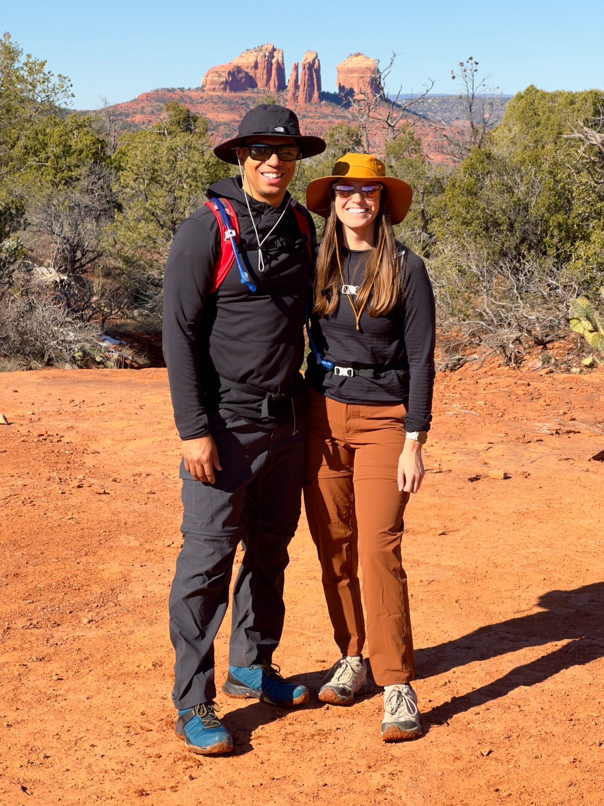
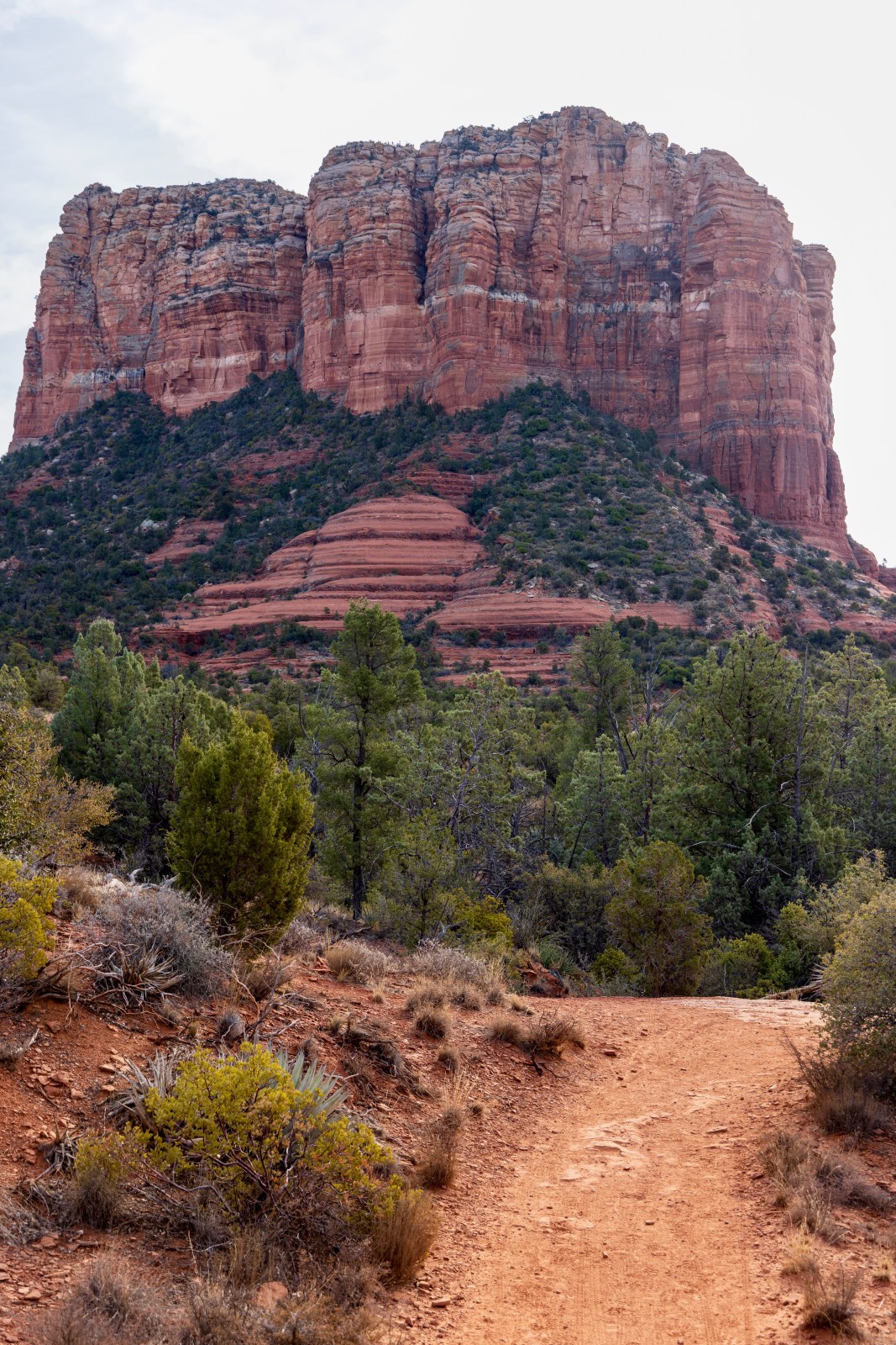
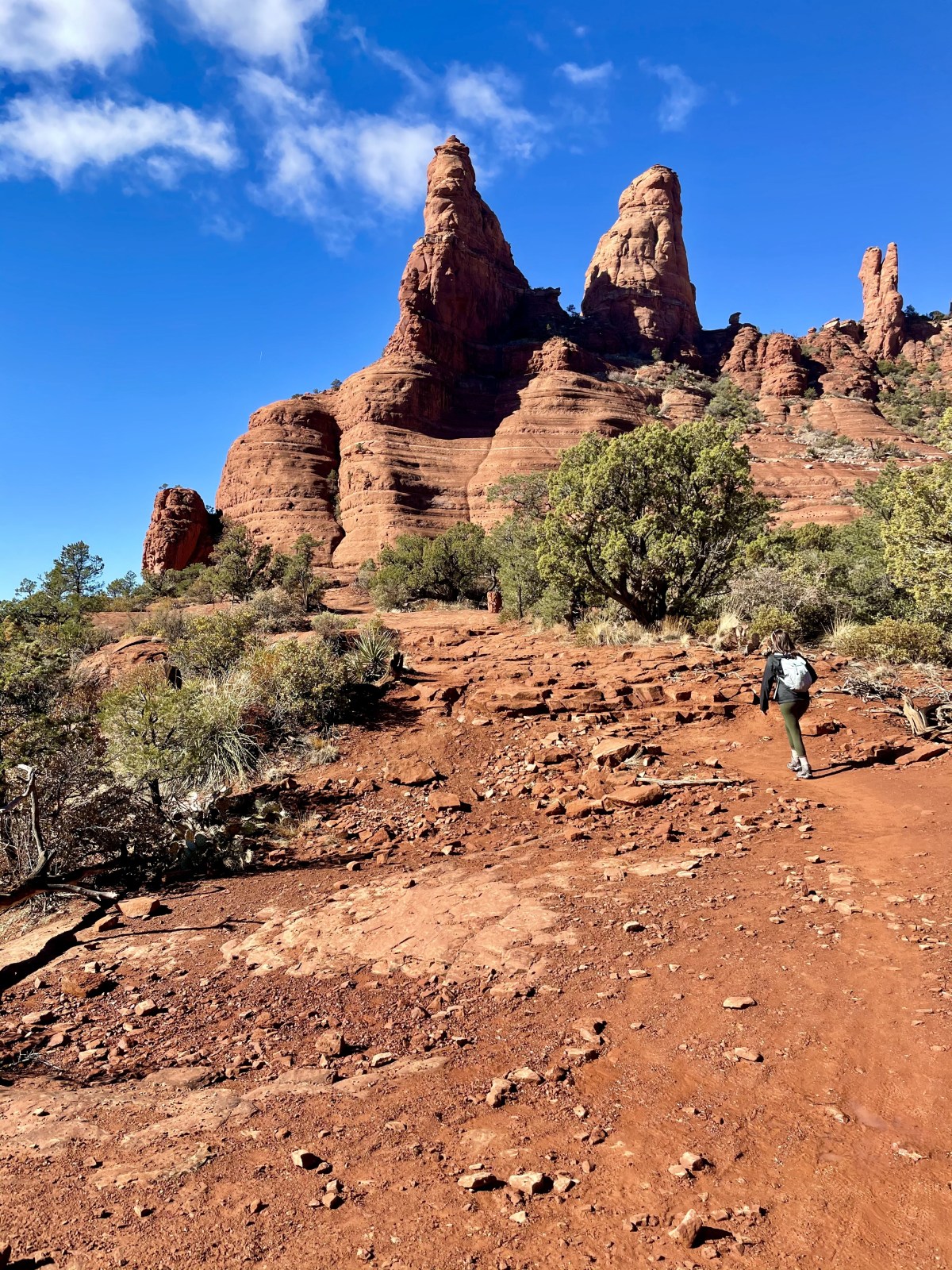
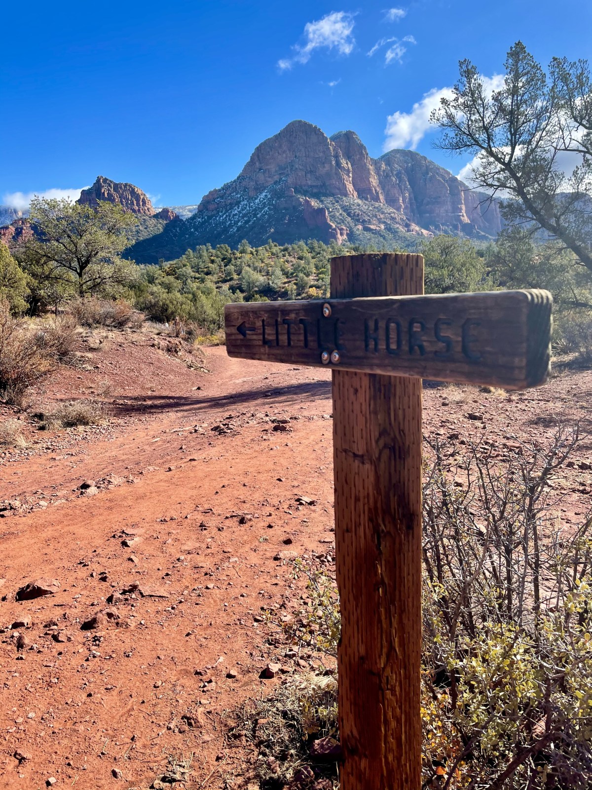
Moderate Hikes in Sedona
There are plenty of moderate trails around Sedona that are awesome! Ranging from a 1.5-mile climb up Doe Mountain with killer views to the super popular Devil’s Bridge hike, and even some of our absolute favorites. Most spots need a Red Rock Pass, and parking can be tight, so plan ahead!

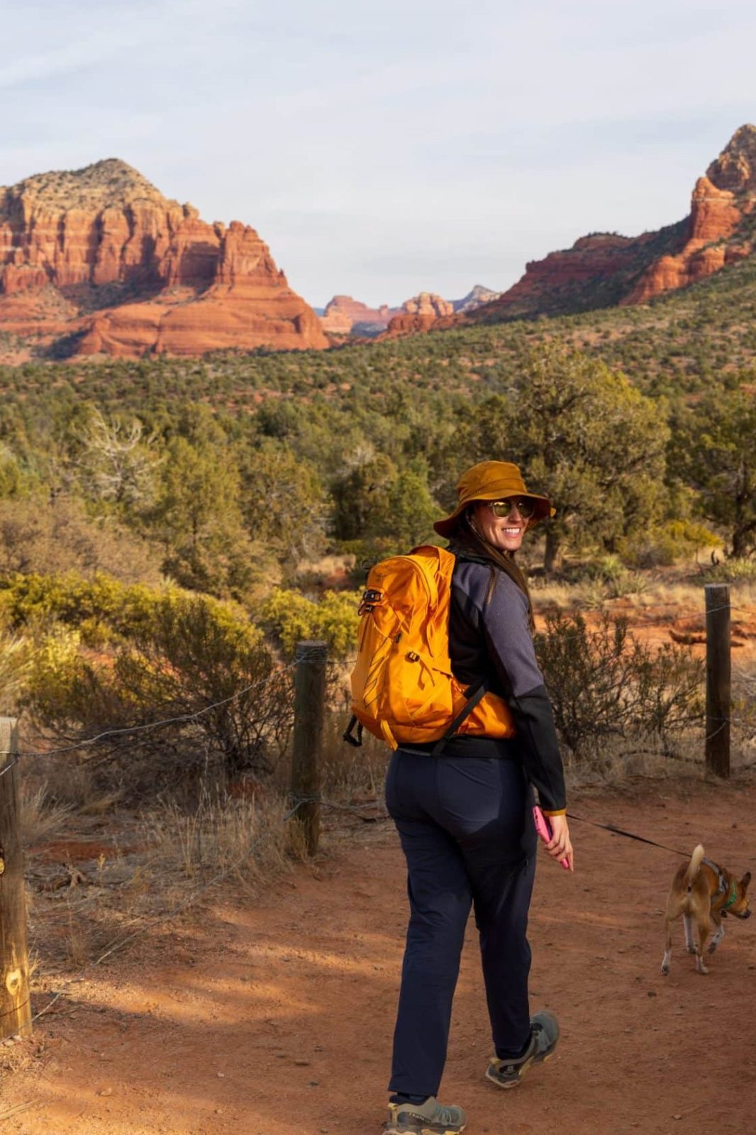
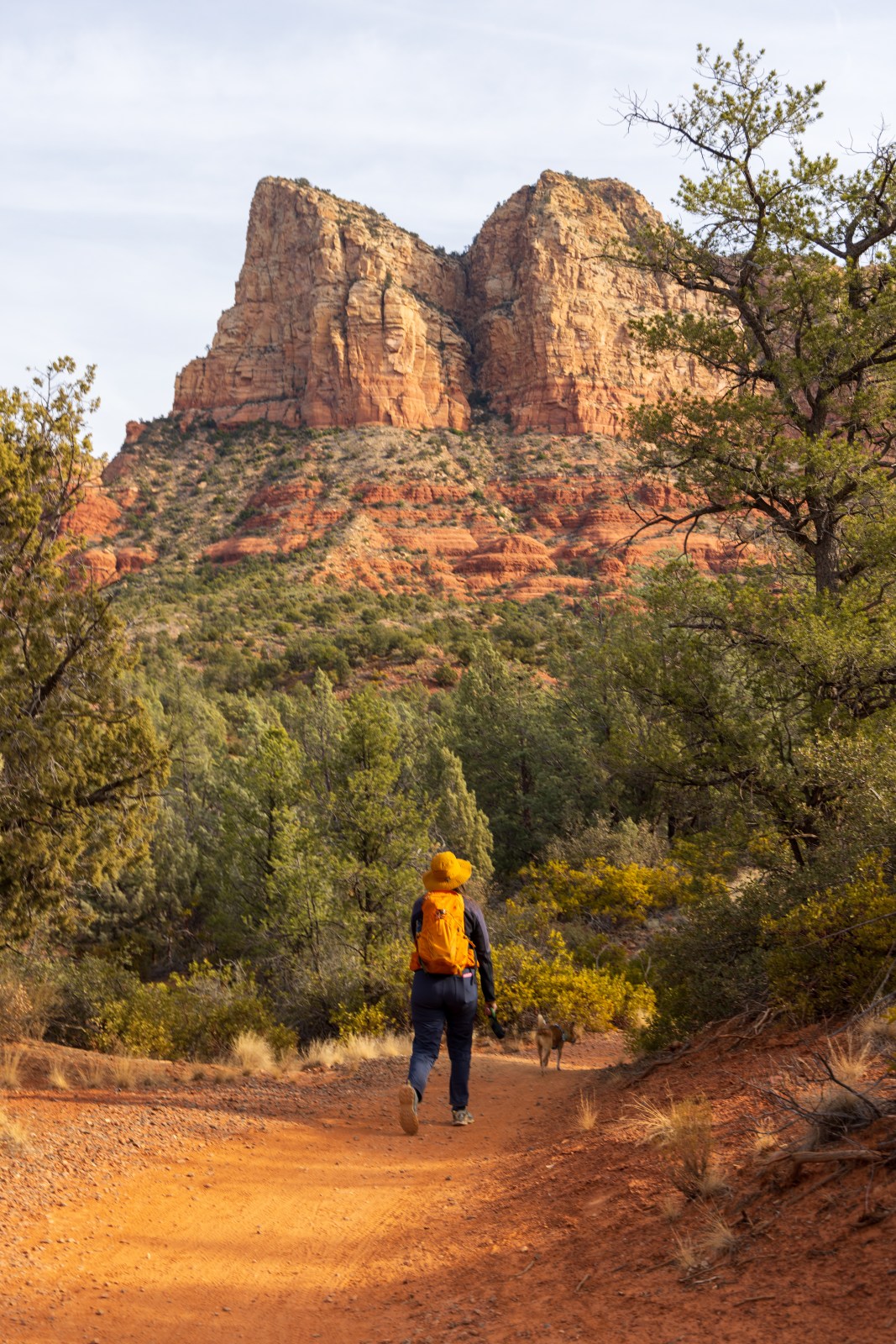
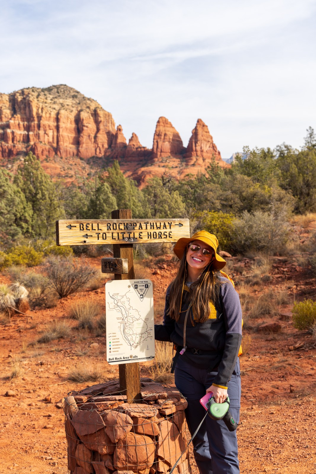
Easy Hikes in Sedona
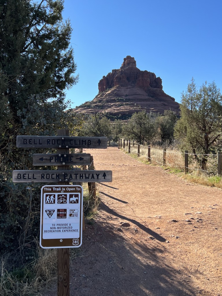
Check out these easy hikes near Sedona! Bell Rock Loop is a 1.8-mile loop with a slight climb, while Teacup Loop stretches 2.7 miles and has a bit more elevation. Crescent Moon Ranch is a chill 1.9-mile walk with picnic spots. Parking details and facilities vary for each spot!

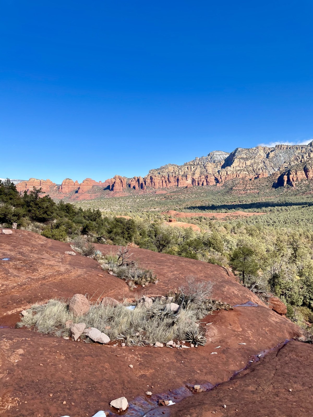
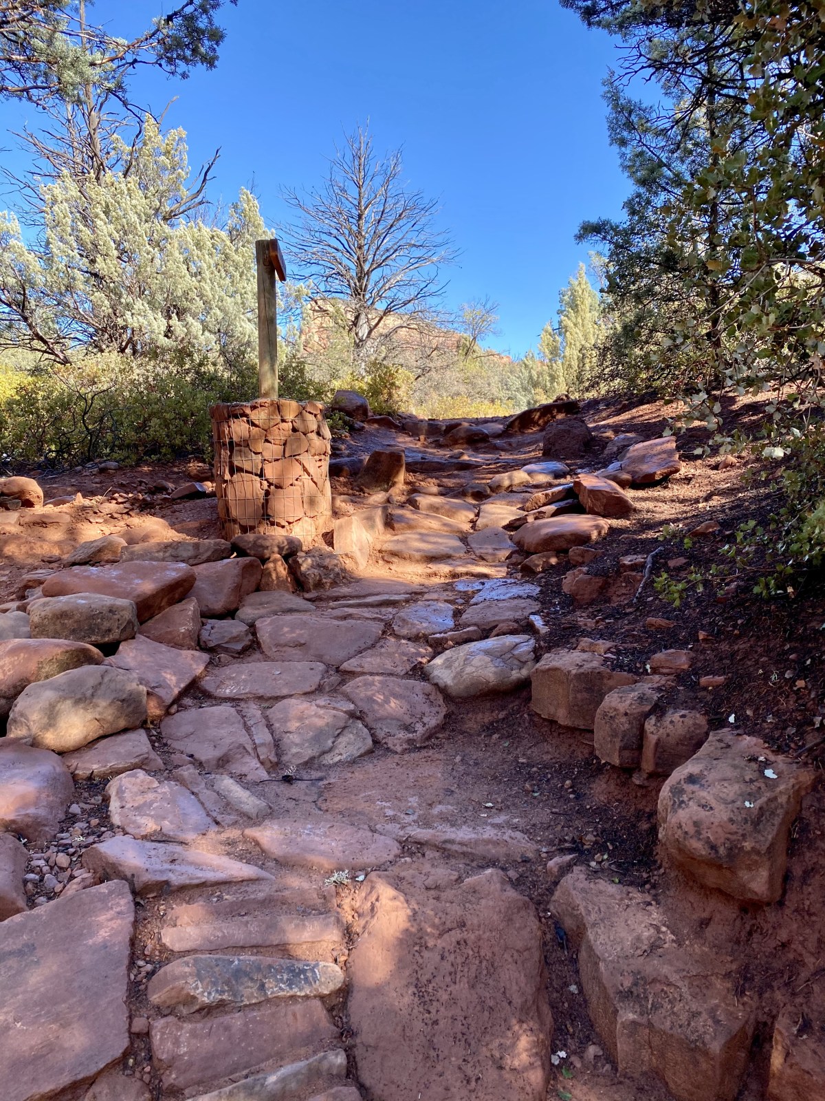
Hard Hikes in Sedona
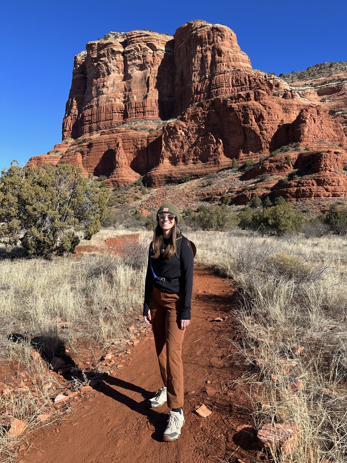
So, if you’re into hiking, check out these trails! Cathedral Rock is a steep 1.2-mile trek, while Bear Mountain’s 5-mile route is tougher. Wilson Mountain is a 12-mile challenge, and Sterling Pass to Vultee Arch offers a hard 5.1-mile hike. Don’t forget the vault toilets and shuttle info at the trailheads!