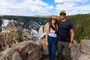
Battleship Mountain Scramble: Superstition Wilderness Hike

Battleship Mountain

Battleship Mountain is a striking landmark located in the Superstition Wilderness Area of Tonto National Forest, just east of Phoenix. Its name comes from its distinctive shape, which resembles a Navy battleship. Known for its challenging terrain, the ascent is considered a difficult scramble. We hiked this trail on January 6th, 2023, and were on trail by 7:50 am. There are multiple ways to hike to Battleship Mountain, but we chose the shortest route starting from First Water Trailhead. There are a multiple different trails that start from here so the parking lot does fill up pretty quickly. However, there is more parking down the road at the overflow and horse trailer parking lot if needed.

With modern day digital mapping, getting the trailhead is fairly easy. In Google Maps and Apple Maps just enter First Water Trailhead as your destination. In AllTrails, just use the “Get Directions” feature. 

Need to Know

This trail is challenging and is not for the faint of heart. There are very narrow drop-offs and sections of the trail that you have to scramble up large rocks. Once on the Battleship we had pull ourselves up and shimmy over rocks. The entire hike is quite exposed with very little to no shade. We brought hiking poles but found them to be clunky and in the way. 

This is the Sonoran Desert, home to many sharp and spiny plants, venomous reptiles and spiders, and larger wildlife like mountain lions, coyotes, and bighorn sheep. Pay careful attention to your surroundings and always hike snake aware. The Superstitions are remnants of volcanic activity. The rocks are sharp, jagged, and large. We highly recommend stable footwear with good protection.

Superstition Wilderness Area

This entire hike is in federally designated Wilderness Area, meaning it’s closed to all motorized equipment and bicycles. Hikers and horseback riders are allowed, and on weekends there is a good chance you’ll see horseback riders. Most importantly, this area is closed to drones

Quick Stats: Battleship Mountain

Length:

12.4 miles recorded

Route Type:

Out and back

Elevation Gain:

2,245 ft recorded

Vaulted Toilets:

Yes

Dog Friendly:

Not particularly

Fee:

No

Difficulty:

Hard

Water:

No water at trailhead

The Hike to Battleship Mountain

Getting to the base of battleship is fairly easy as long as you know what trails to be on. Using a hiking app like AllTrails, OnX Backcountry, or similar will also help. Additionally, Apple Maps has added a trails feature to their maps and has the ability to download map areas for offline use.

From the First Water Trailhead take Dutchman Trail #104 for a very short distance to the intersection of Second Water Trailhead. From there, take Second Water Trail #236 east for 3.2 miles to its intersection with Boulder Canyon Trail #103. At the intersection take Boulder Canyon Trail #103 south to it’s junction with the un-official scramble trail up Battleship Mountain.  

The hike

The Scramble up Battleship Mountain

Once at the base of the scramble trail you can see the trail switch back up towards the spine of the mountain. The beginning portion of the trail is not a scramble, but it is relatively steep and sometimes difficult to find. We suggest having the trail on a downloaded map on your phone so you can find the trail based on your GPS location. 

After getting to the spine of Battleship Mountain follow the trail north. The first major obstacle is a rock face on the west side. Foot placement is a little tricky here and we suggest to take your time. Above the rock face the trail is relatively flat and easy for a bit. Then you’ll come to a point where it looks like there is nowhere to go. Look around closely and you’ll see a trail that goes down for an easier crossing. After this point the trail has a series of obstacles and scrambles. We weren’t able to photograph and record all the scrambles because we needed both hands and our full attention. 

Finally, towards the end, the trail wraps around the “control tower deck” of the battleship and you finish on the highest point of the rock feature.

The scramble

Warning: Please Read

Overall, we highly recommend taking your time to ensure you’re comfortable with what you’re doing and where you’re putting your hands and feet. Staying calm and collected is critical to staying balanced and safe. Pay careful attention to how you managed an obstacle one direction, because you’ll most likely have to face it coming back. However, it’s always important to evaluate all possible routes and see if maybe you missed a safer or easier option. This area is very remote with no cell phone service. A rescue would not be quick. We do not recommend pushing yourself beyond your limits and we do not recommend hiking this trail or scrambling Battleship Mountain by yourself. As always, bring plenty of water!

More Superstitions Hikes and Gear Recommendations

View of Weavers Needle from Dutchman Trail in the Superstition Wilderness - The AZ Hikeaholics

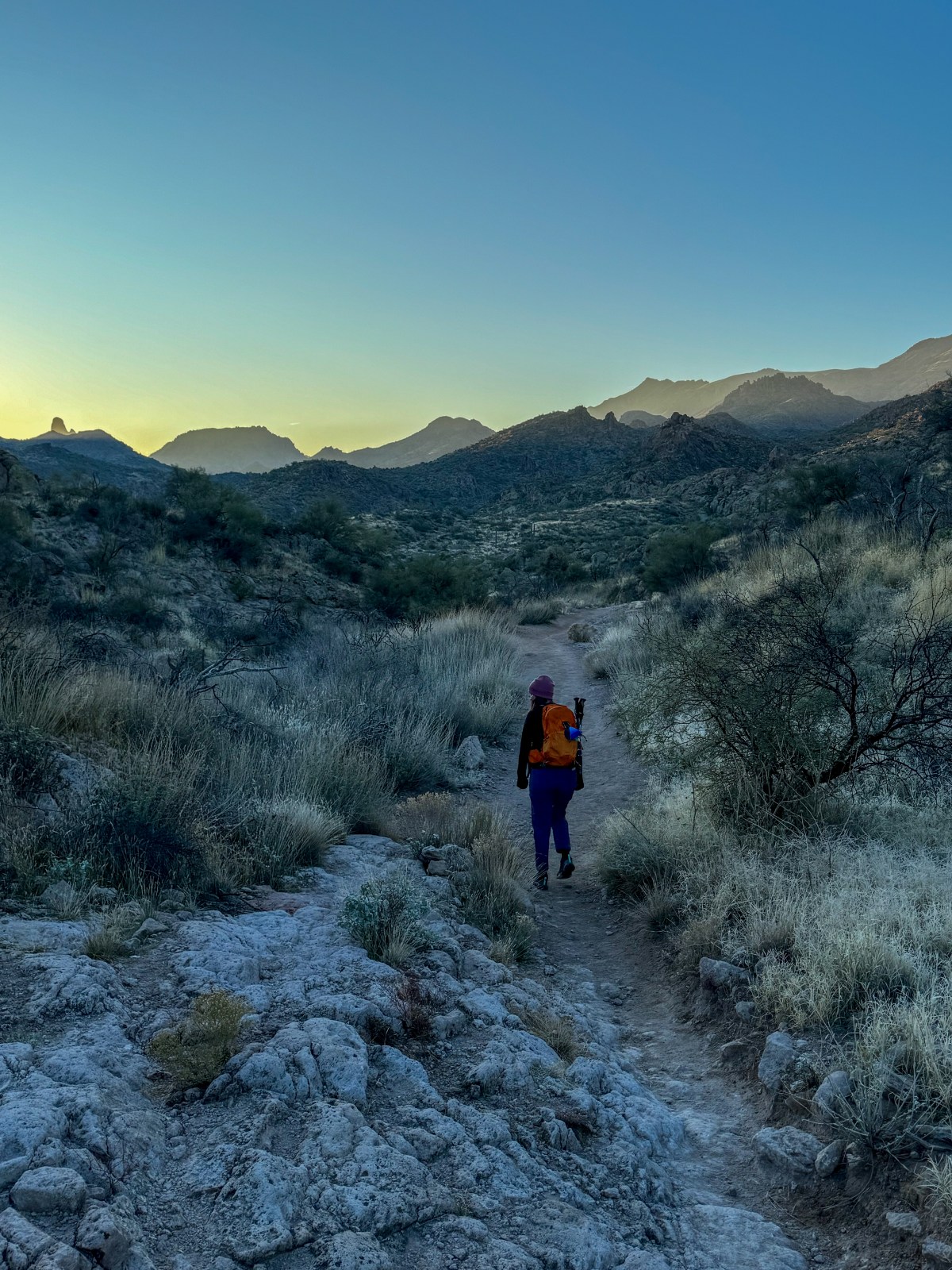
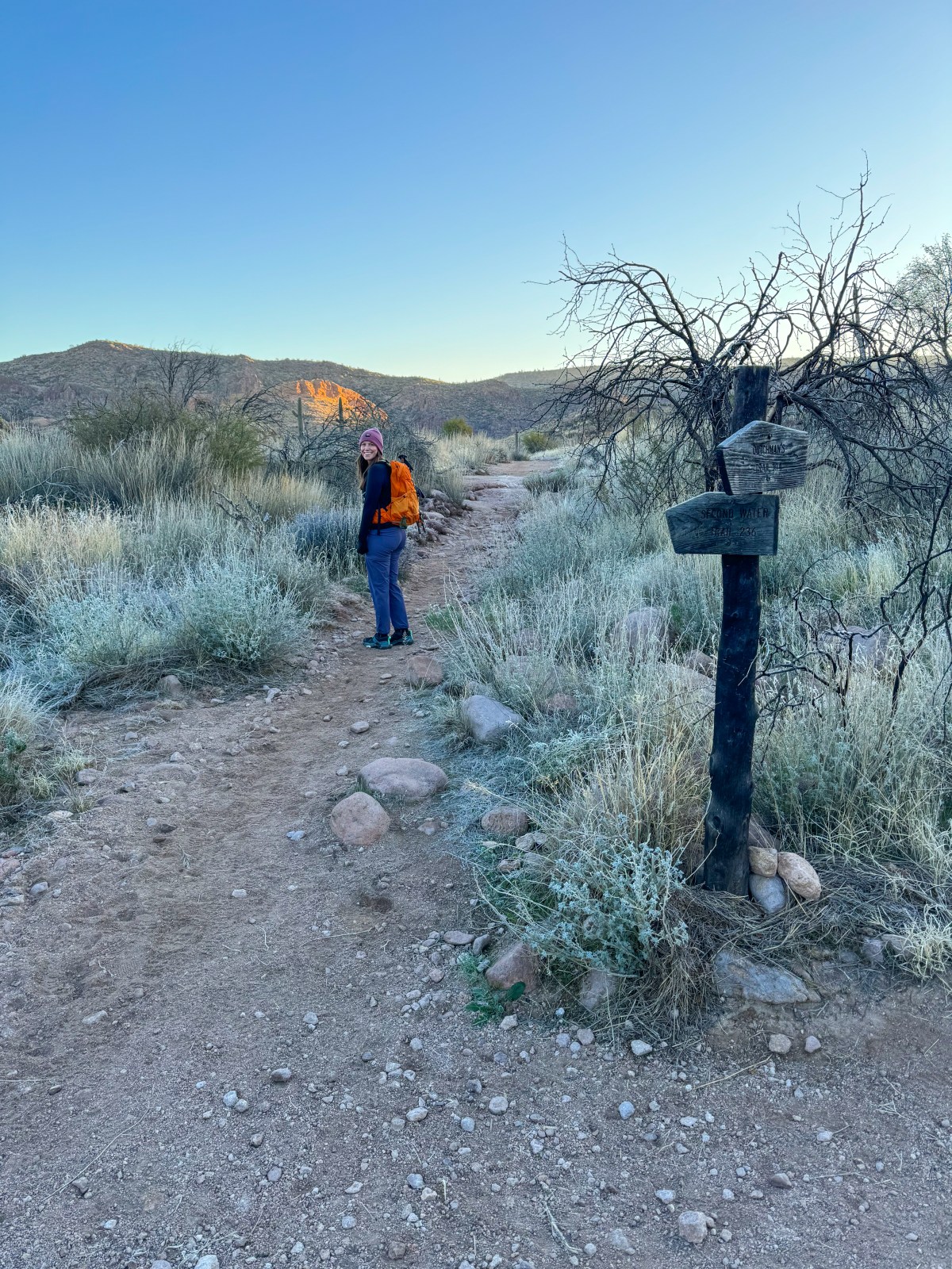
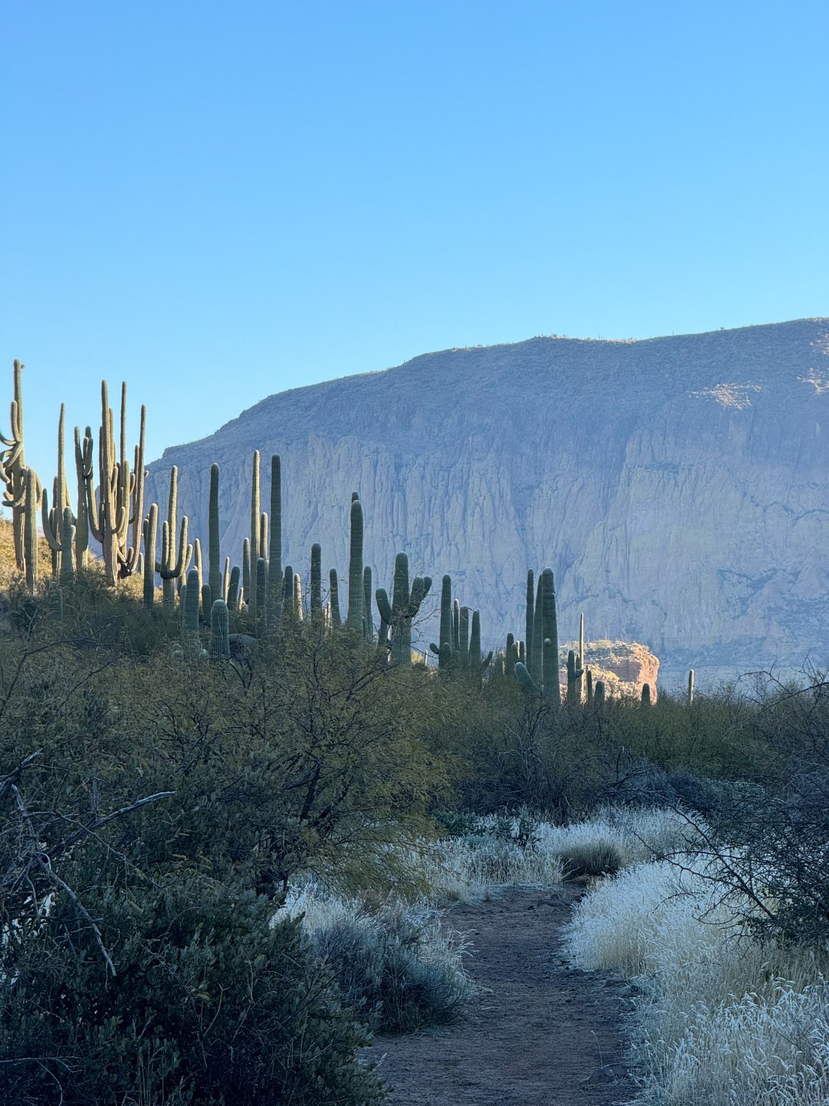
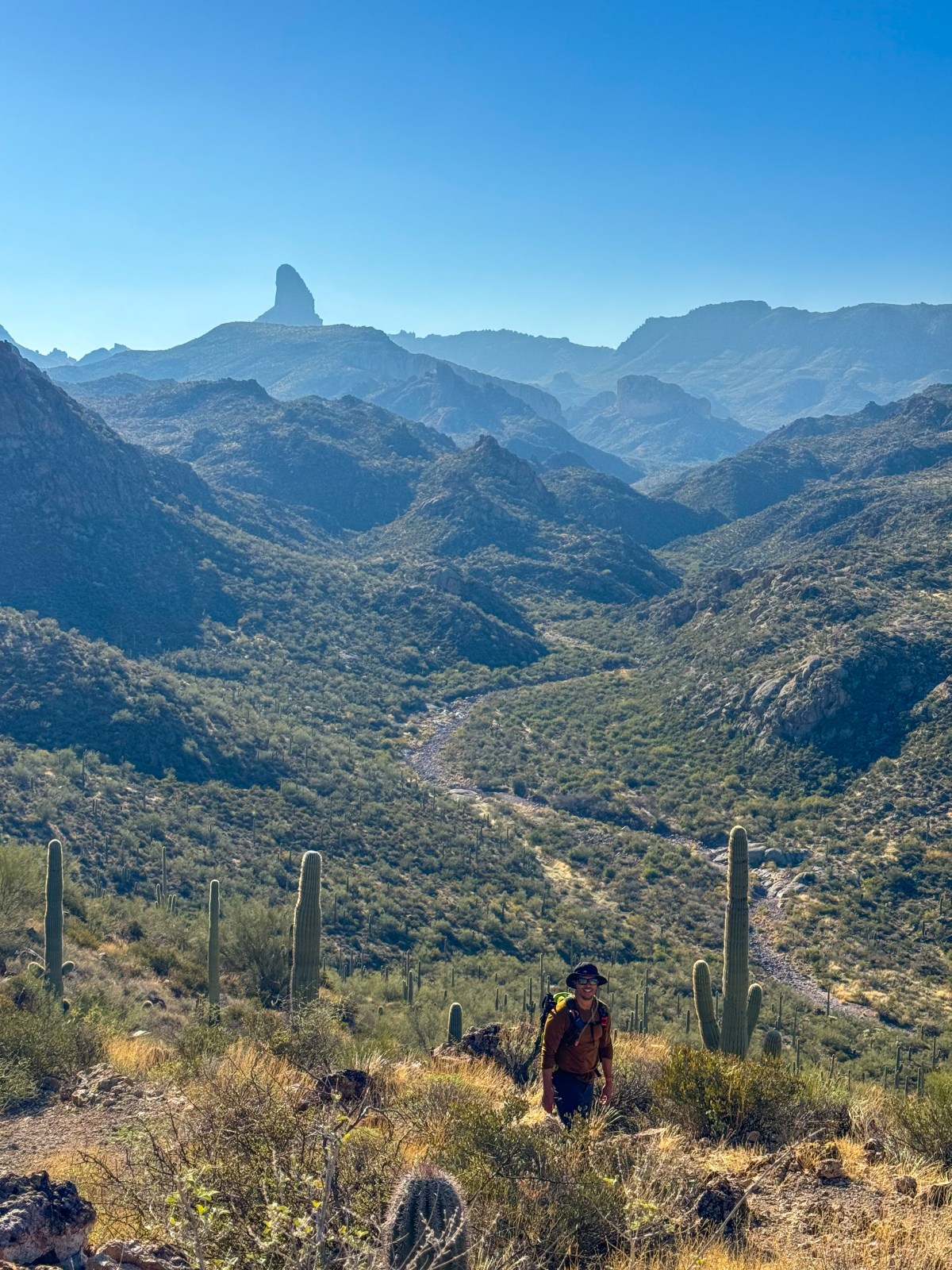
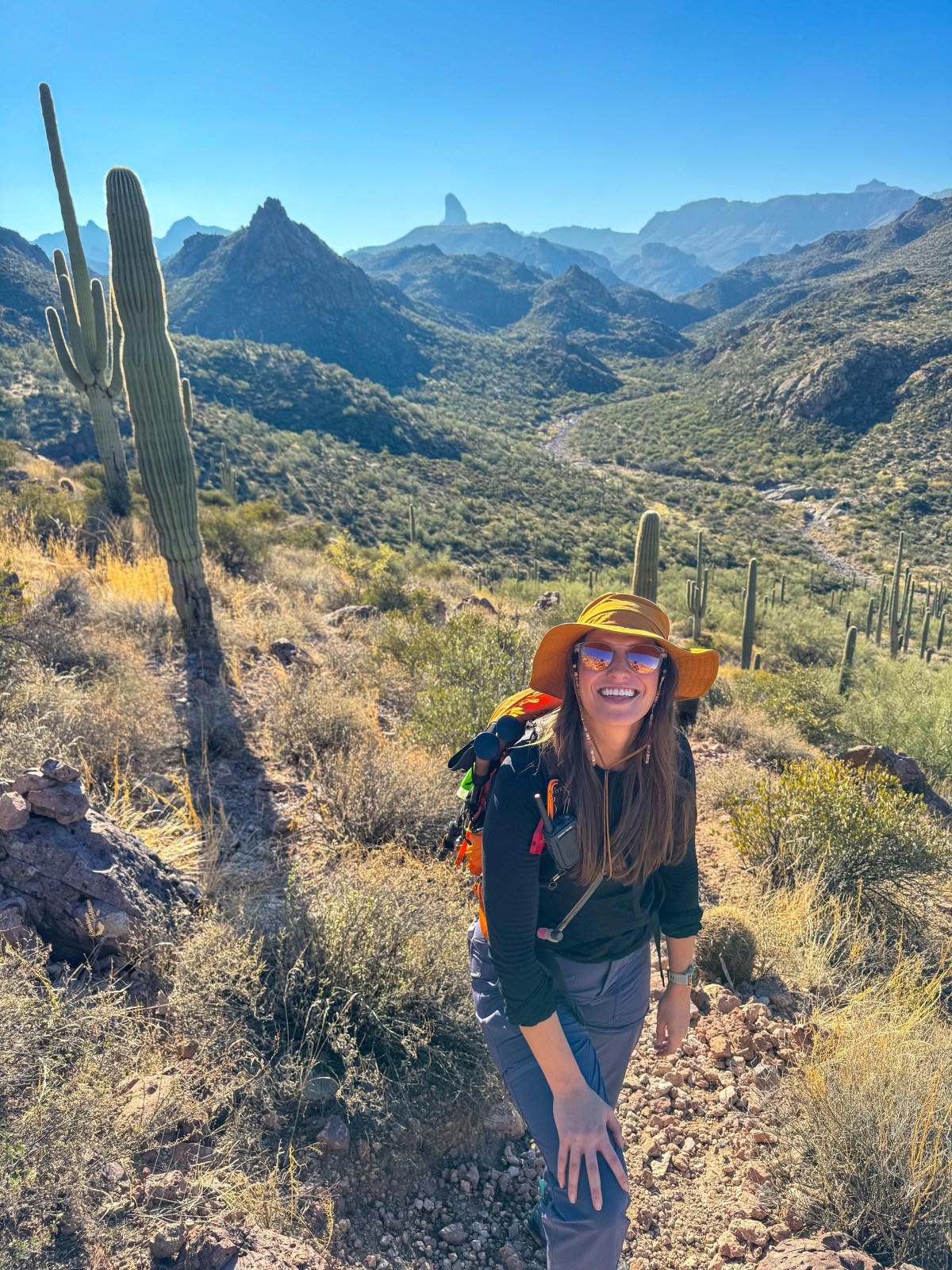
Peralta Trail to Canyon Lake: Superstition Wilderness Hike

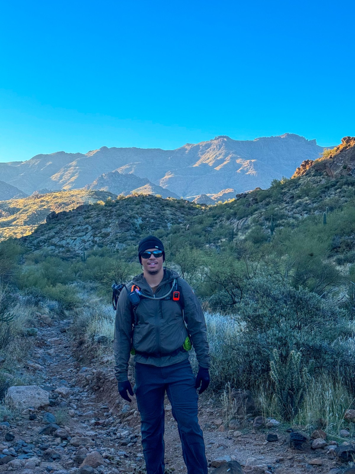
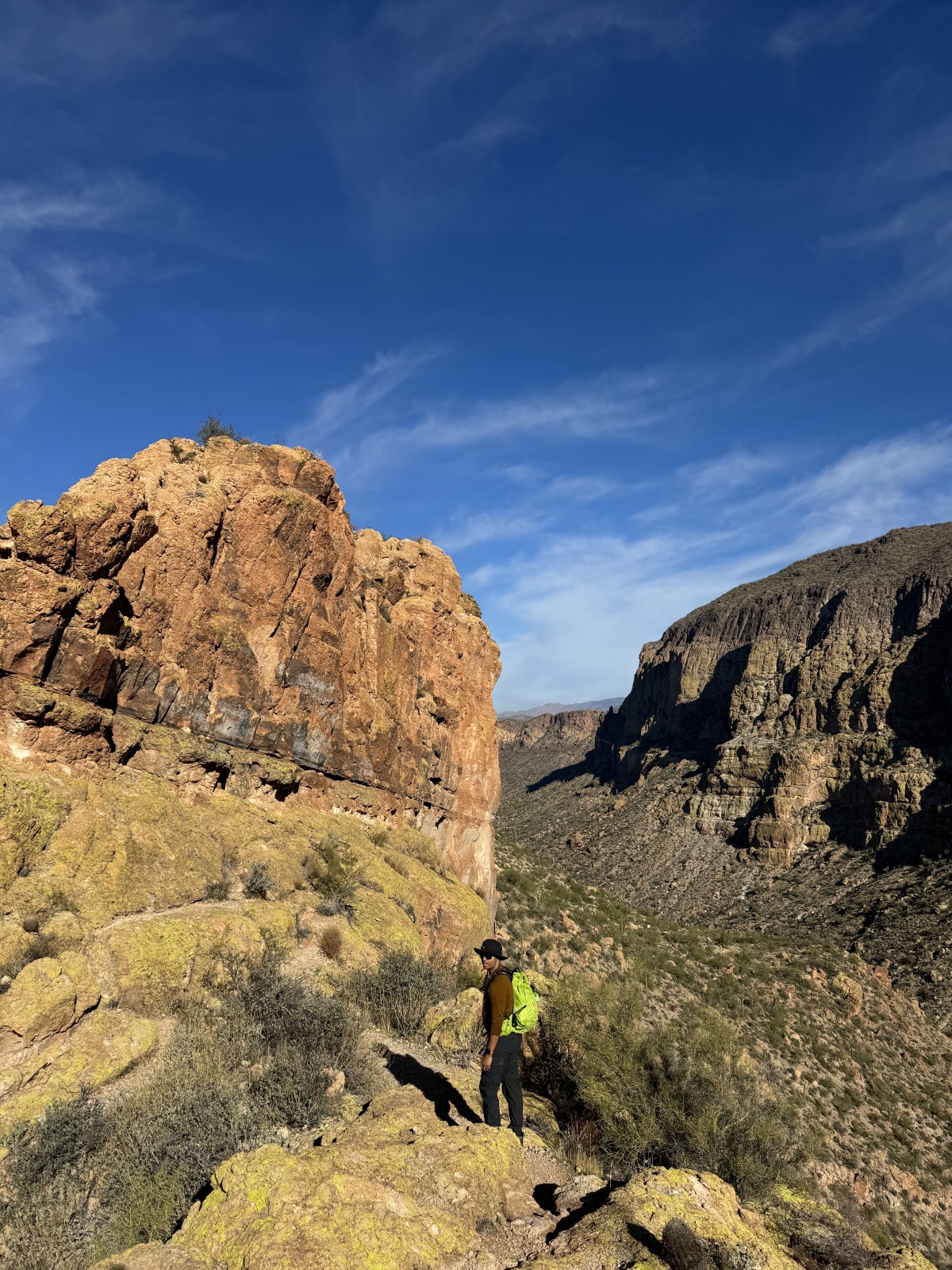
Peralta Trail to Canyon Lake Trail across the Superstition Wilderness of Tonto National Forest is a 15 mile hike in one direction that uses multiple connecting trails. This hike is often completed as a point-to-point hike in a single day, requiring some logistical planning, or an overnight backpack camping hike. We completed the hike in a single day and below get into how we planned to hike and our experience traversing the stunning Superstition Wilderness.

Read More »

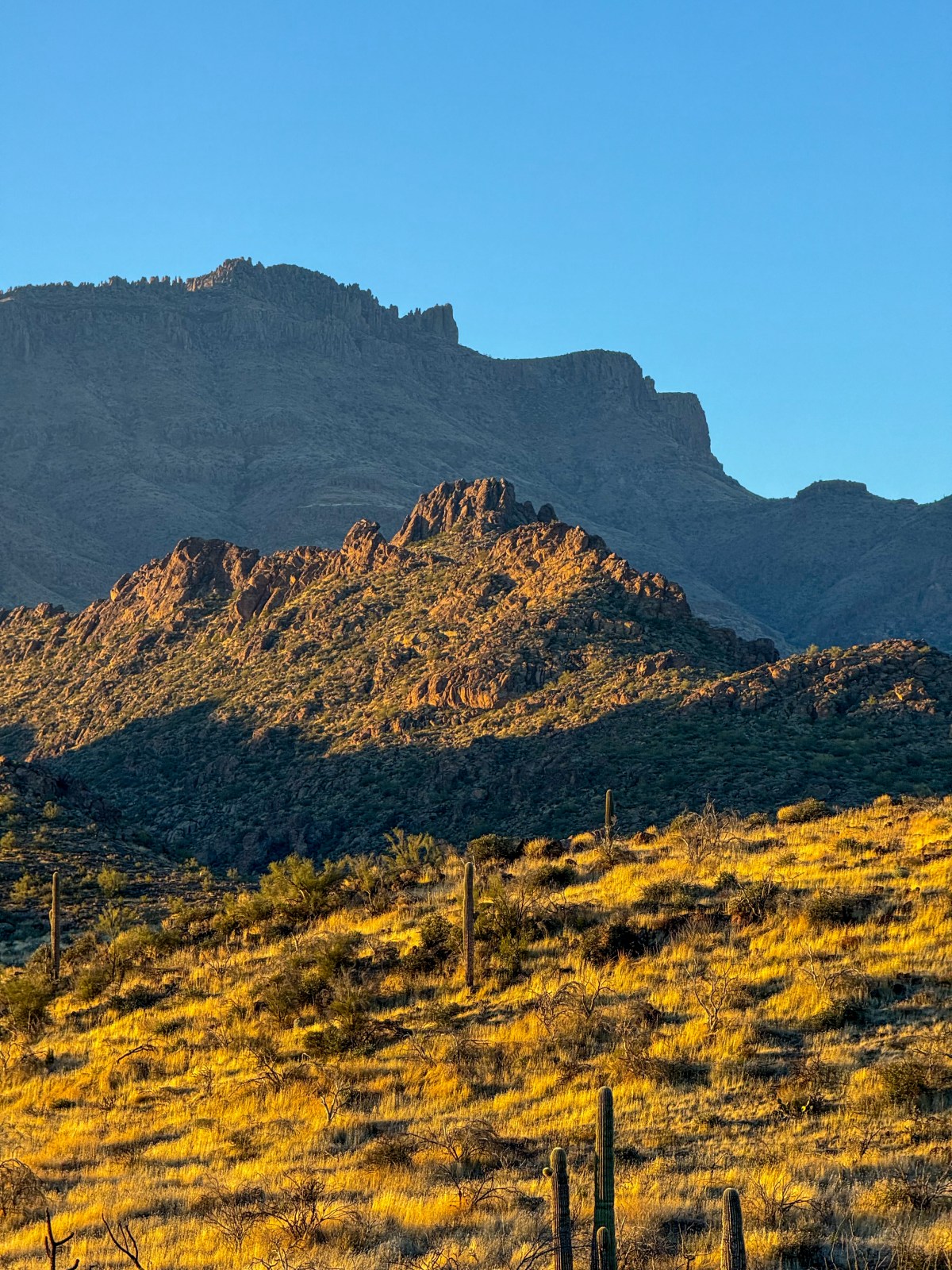
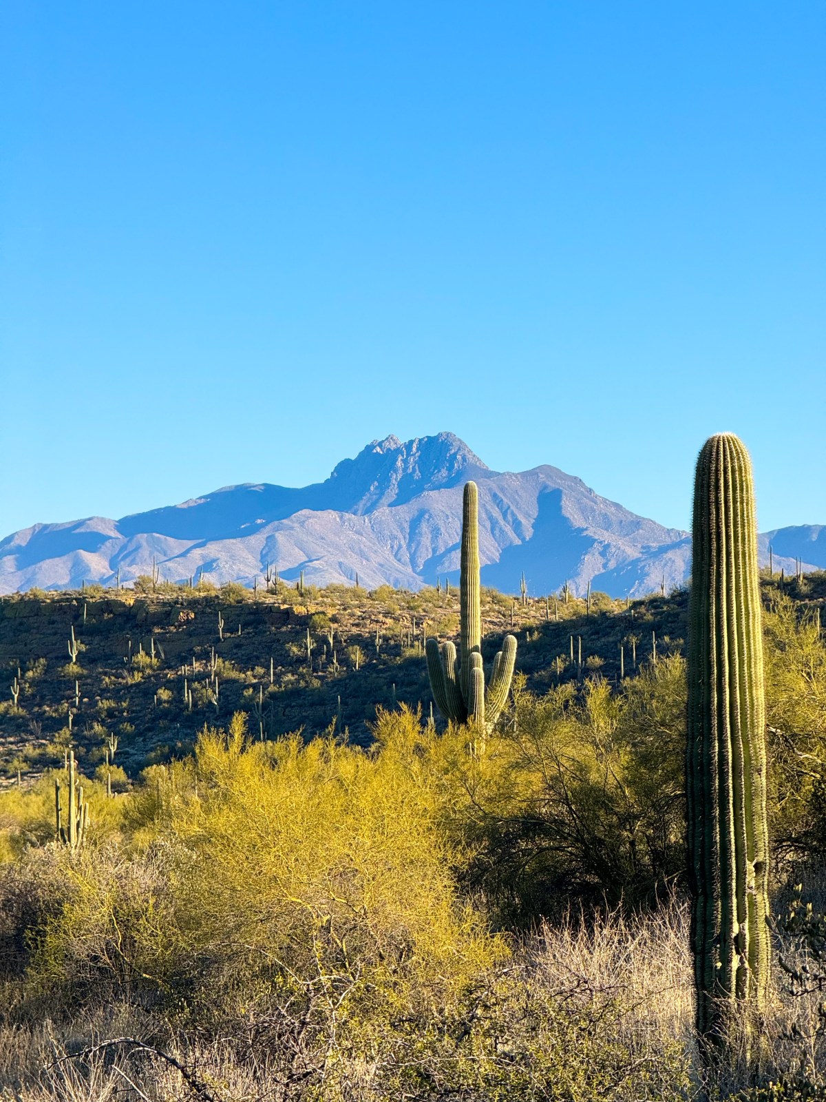
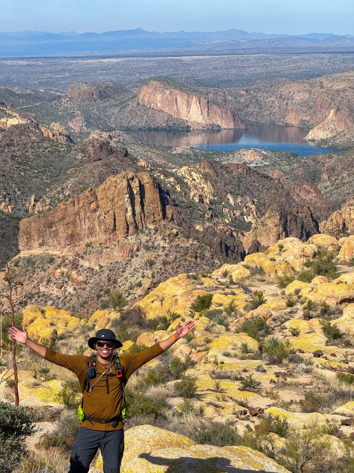
5 Best Hikes in the Superstition Mountains

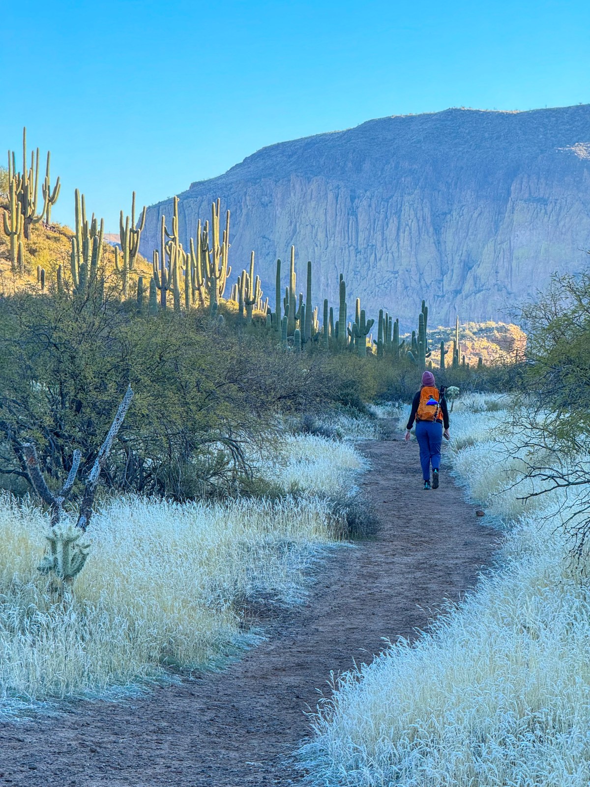
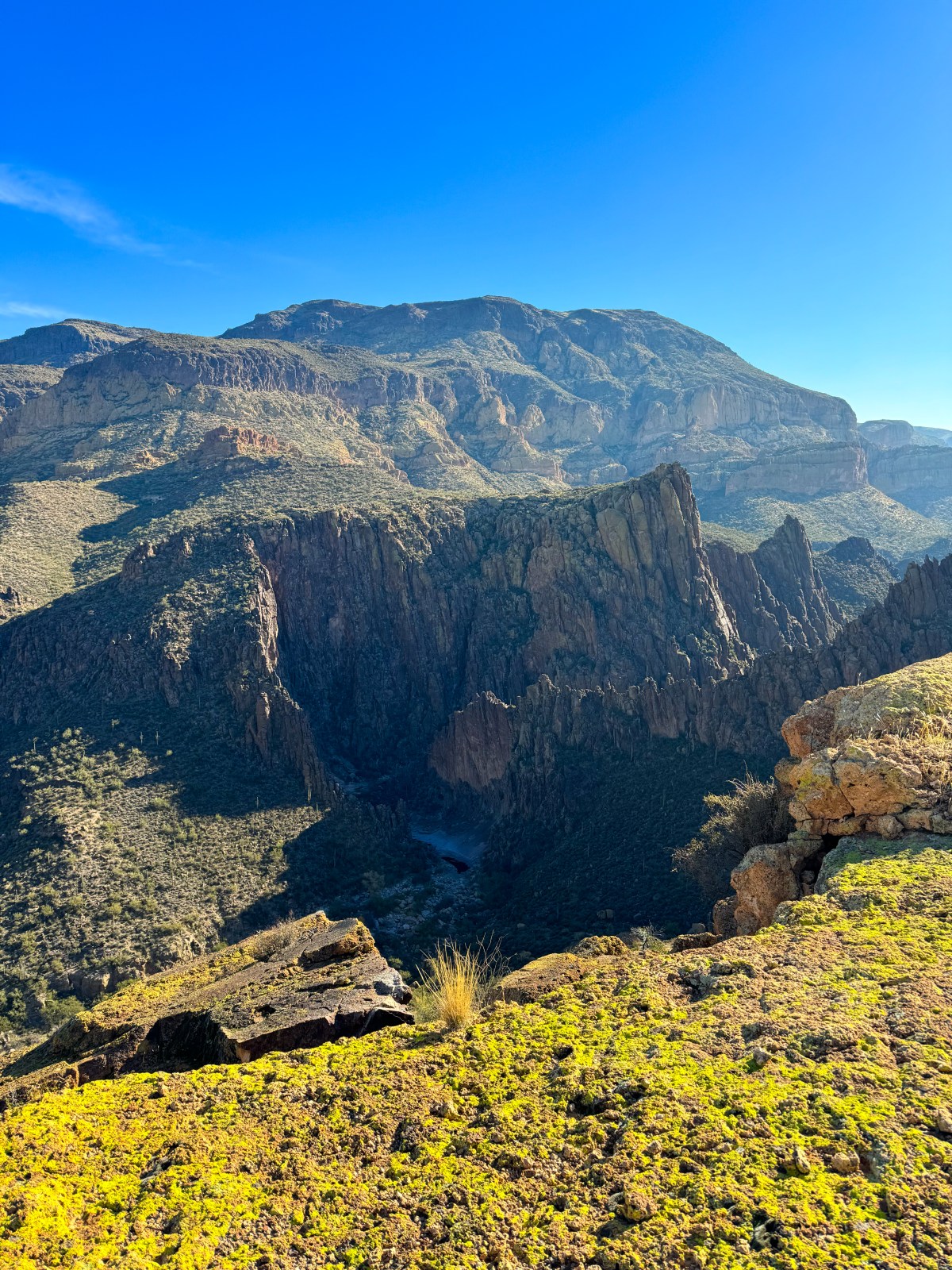
This guide highlights the five best hiking trails in Arizona’s Superstition Mountains, showcasing stunning views, diverse terrains, and varying difficulties. It emphasizes outdoor ethics and provides specifics on each trail, including distance, elevation, and amenities. The trails cater to different experience levels, ensuring memorable adventures in the desert landscape.

Read More »

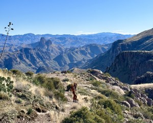
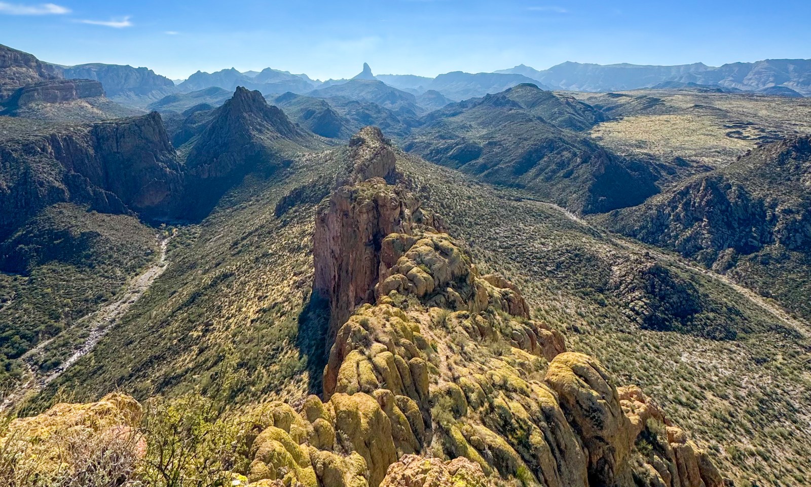
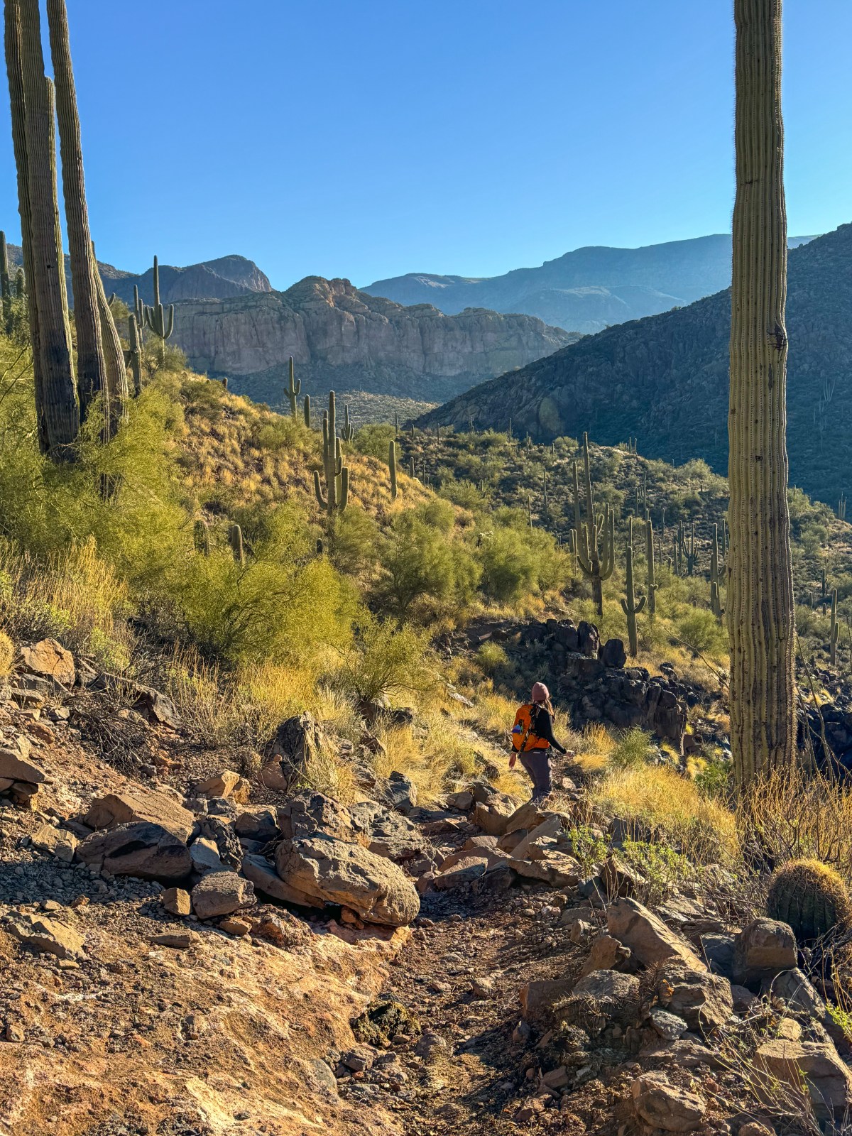
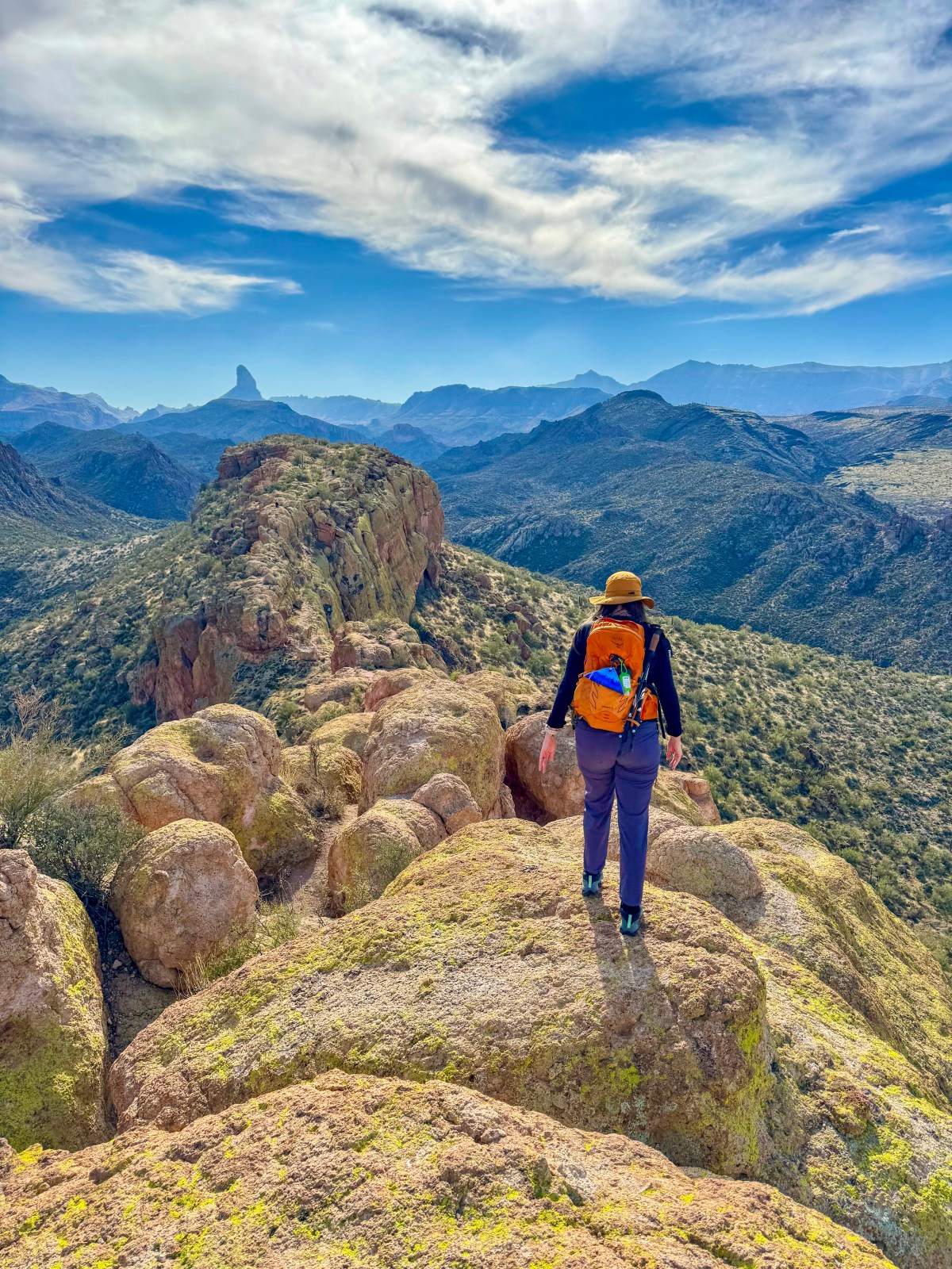
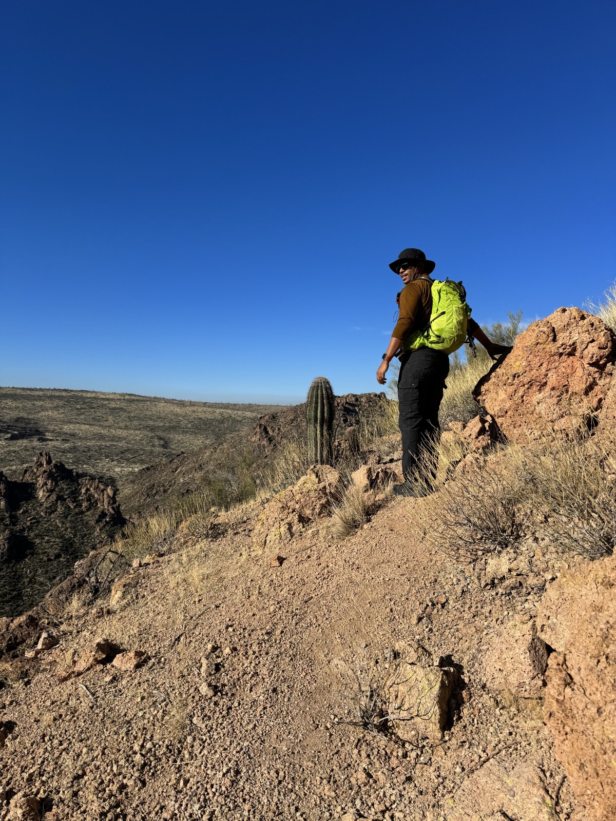
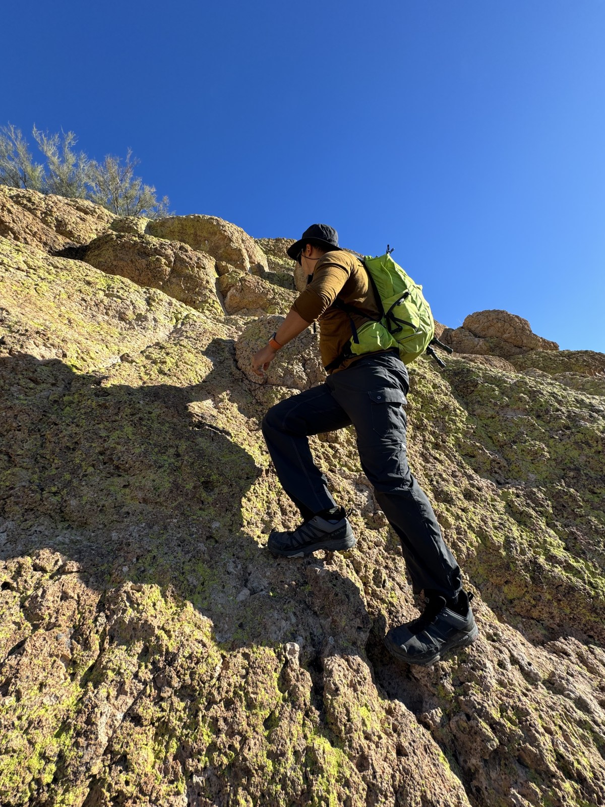
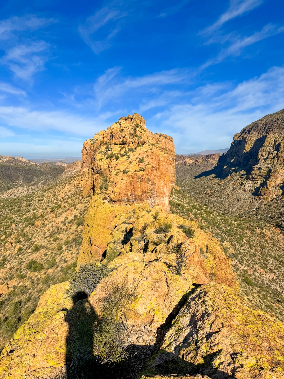
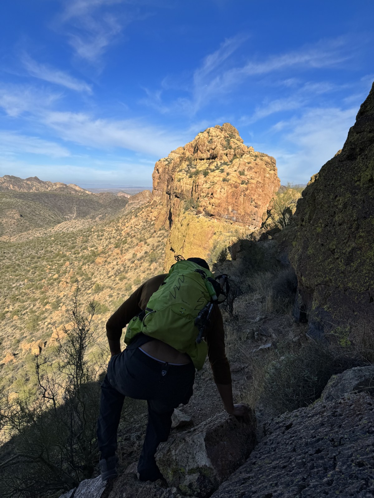
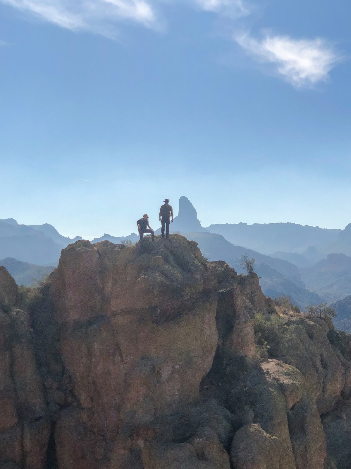
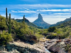
Superstition Ridgeline Trail: Superstition Mountains

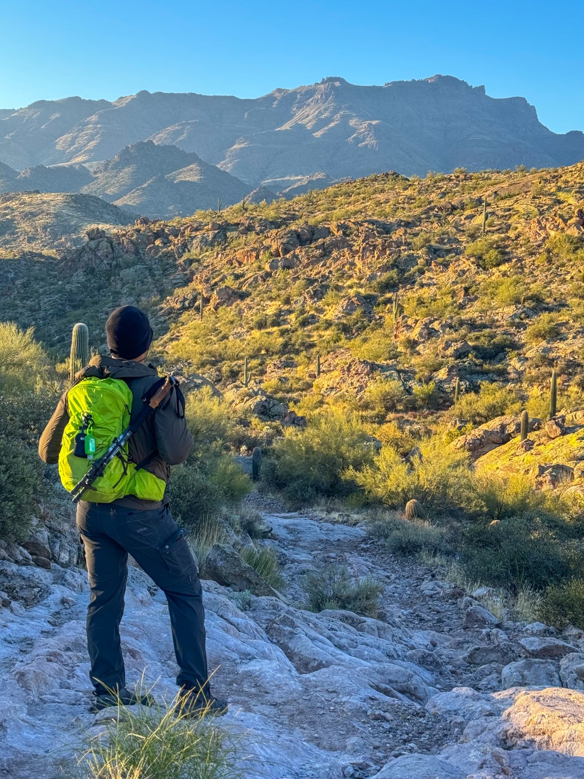
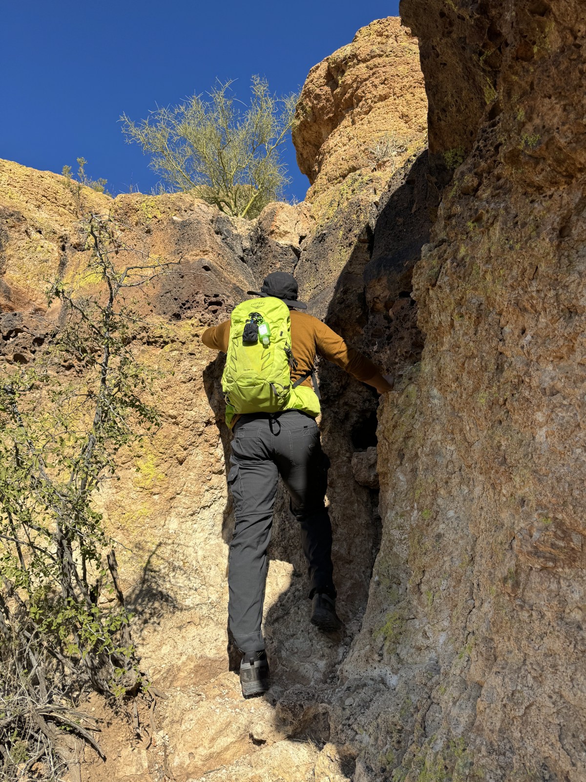
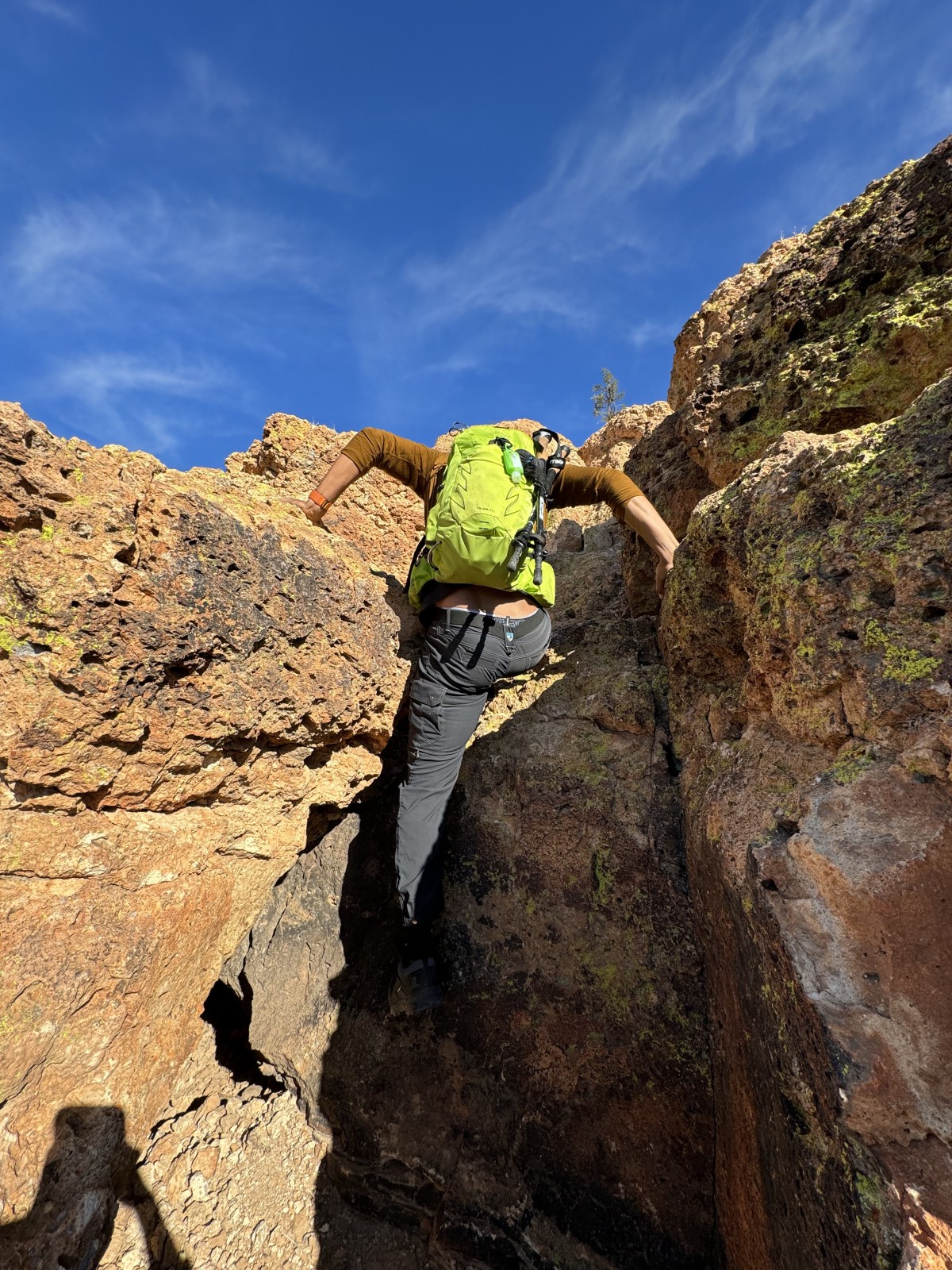
The Superstition Ridgeline Trail in Tonto National Forest is an unofficial but popular 11.25-mile hike with challenging sections and stunning views. It’s mostly exposed, so be prepared for little shade and some tricky scrambles. Don’t forget your hiking poles for the descent and watch out for wildlife!

Read More »

Instagram Reel

Hi There!

We're Lauren and Owen -

We started The AZ Hikeaholics as a way to share our adventures with an audience that was interested. It soon grew into a community and we were all in! The more we learned about the history, geology, culture, biology etc, of the places we were exploring, the more we wanted to know.

You may also like -

Join our mailing list!

Never miss an update

Stay up to date by subscribing to our mailing list to receive our monthly newsletter and other important updates!