Workman Creek
Workman Creek is in the Sierra Anchas of Tonto National Forest, Payson Ranger District. The creek is bordered by maples, ponderosa pines, and other evergreens. The area is an example of nature ability to repair and restore. Previously, an area where uranium mining operations were conducted, the Workman Creek area is open to public for day use and fishing.
Workman Creek is located about two hours north east of Phoenix. The hidden creek is a great spot to see fall colors as the maples and oaks change into beautiful red and yellow. It’s also a popular spot for fishing and after rainfall the 200 ft Workman Creek waterfall is flowing well.
When exploring Workman Creek please remember to Leave No Trace. Pack out all of your trash, stay on designated roads, respect wildlife, and others! This area is very remote with no cell phone service or services. Be prepared!
How To Get There
The drive to get here is part of the beautiful Desert to Tall Pines National Scenic Byway. The road is also known as State Route 288, or the Young Highway. The fastest way from Phoenix is to take the US 60 east towards Globe. Between Miami and Globe, take the State Route 188 northbound from its intersection with the US 60. Once on SR 188, take the exit for State Route 288 after 15 miles. SR 288 starts paved but after about 20 miles it becomes dirt. Starting from the desert near Roosevelt Lake, the scenic byway goes all the way up to State Route 260 north of Payson along the rim. This drive climbs through the Sierra Anchas, down into Pleasant Valley where Young, Arizona is, and then back up to the Mogollon Rim. We did the full road in the summer of 2023 and started from the north end, finishing by Roosevelt Lake.
Overall, we’ve found Google Maps to be more accurate and we always download an area for offline use. However, Apple Maps has really improved. Both options are linked below with the coordinates for the turn off to Forest Road 487.


Once at the intersection of State Route 188 and Workman Creek you won’t find a specific hiking trail. But there is Forest Road 487 that takes you to the top of the hill to Workman Creek Falls. You can walk the road or drive with a 4×4 vehicle and good clearance. The waterfall is about 3 miles from the highway. After the falls you can continue up the road and connect with others to take you Aztec Peak, the tallest in the mountain range. However, please be very mindful of the surrounding wilderness areas and please respect the rules of being in Federal Wilderness designated land. For more places to see fall colors check out our blog post here.


Related Posts

Arizona Fall Colors: When and Where to See Them
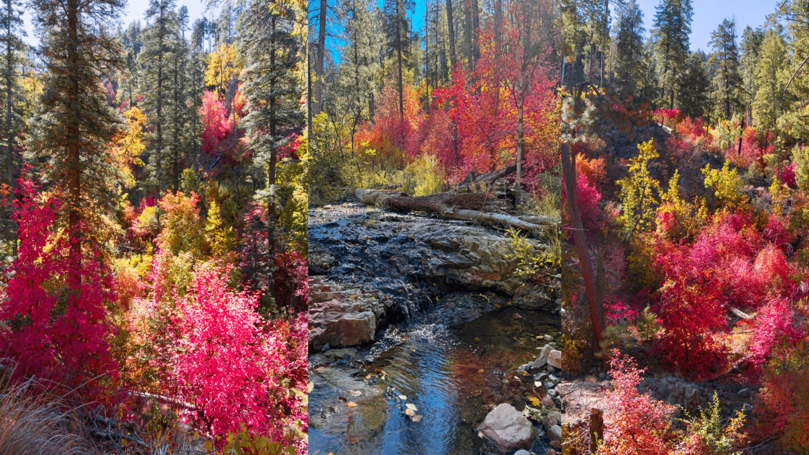
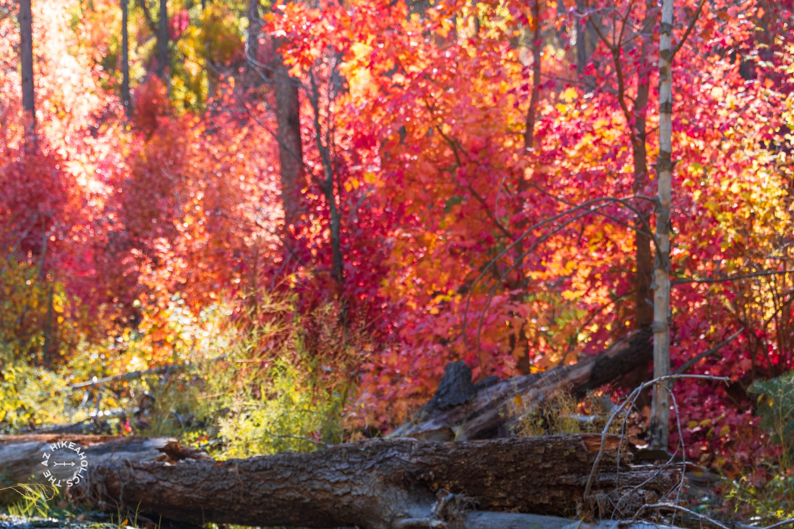
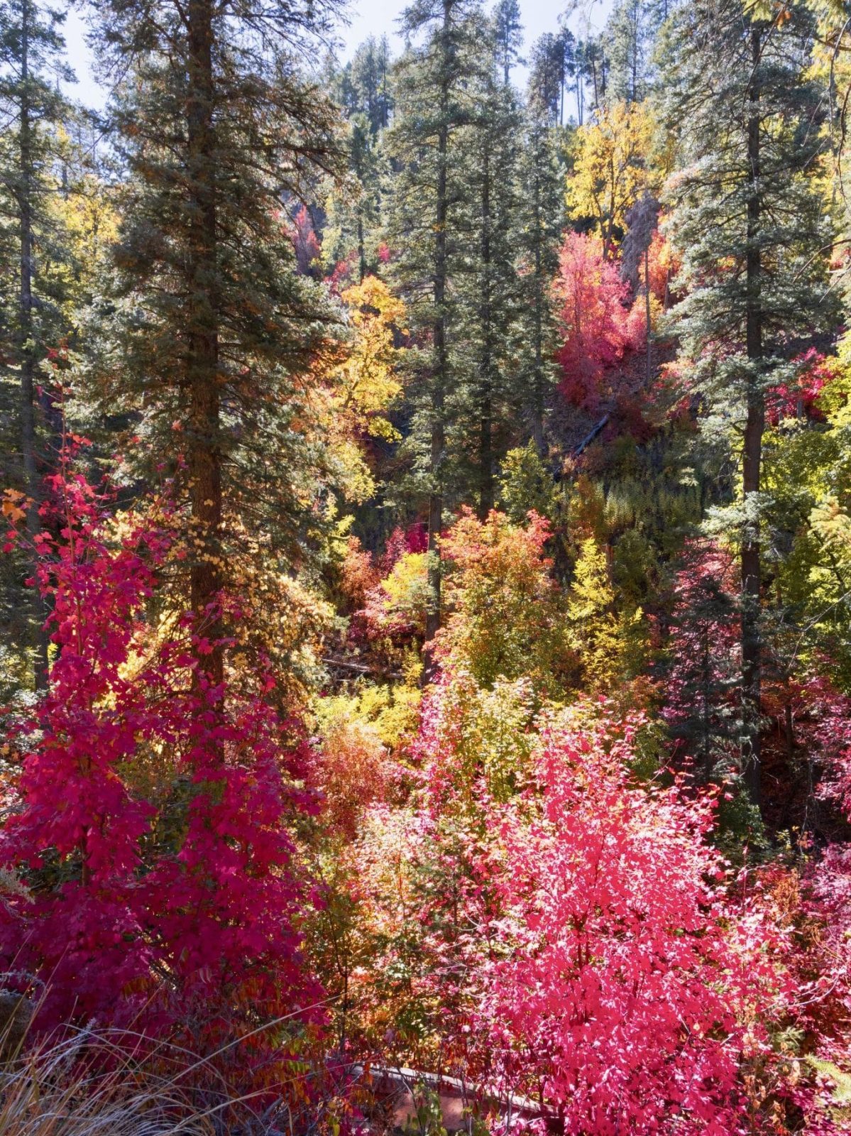
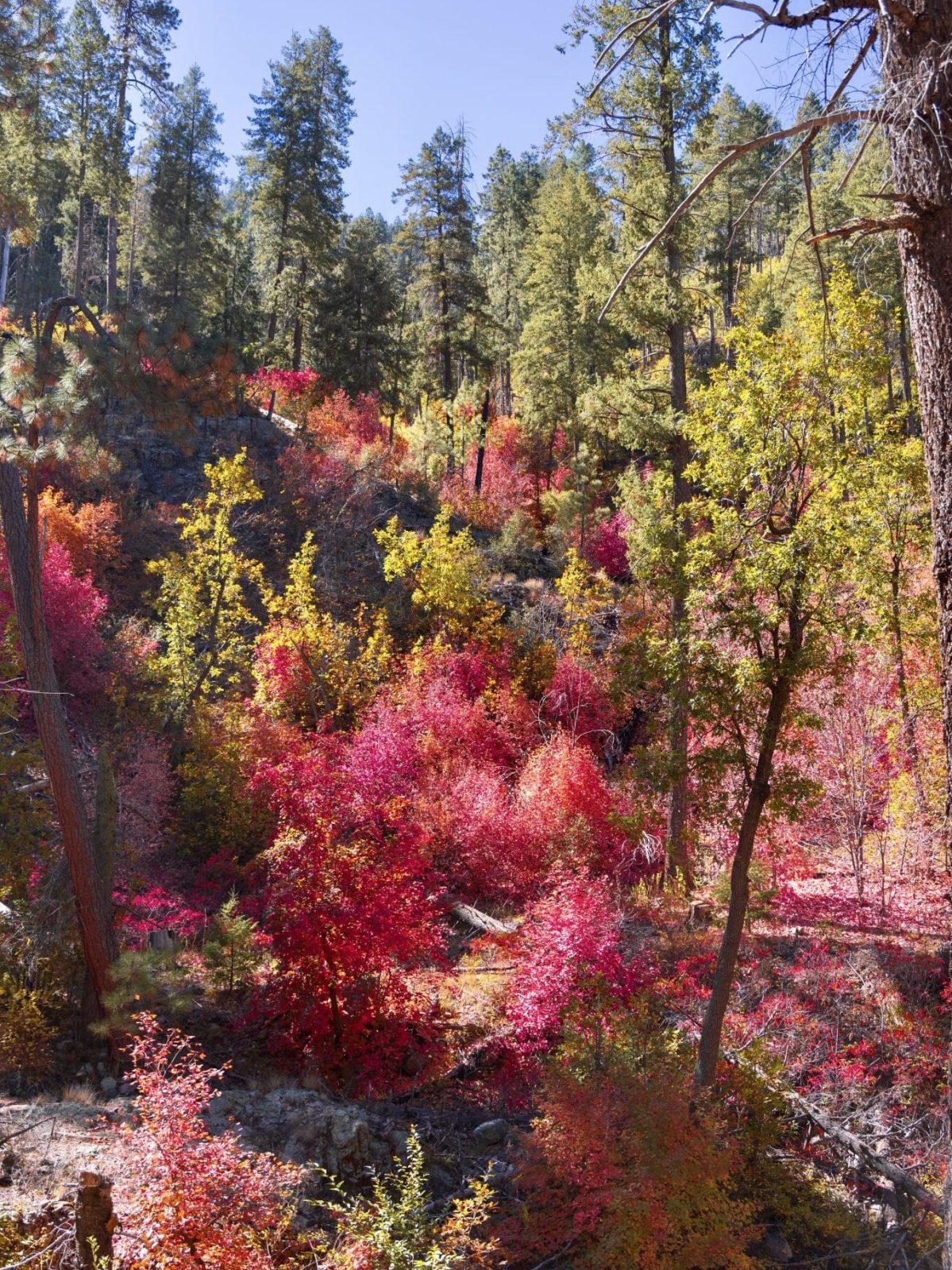
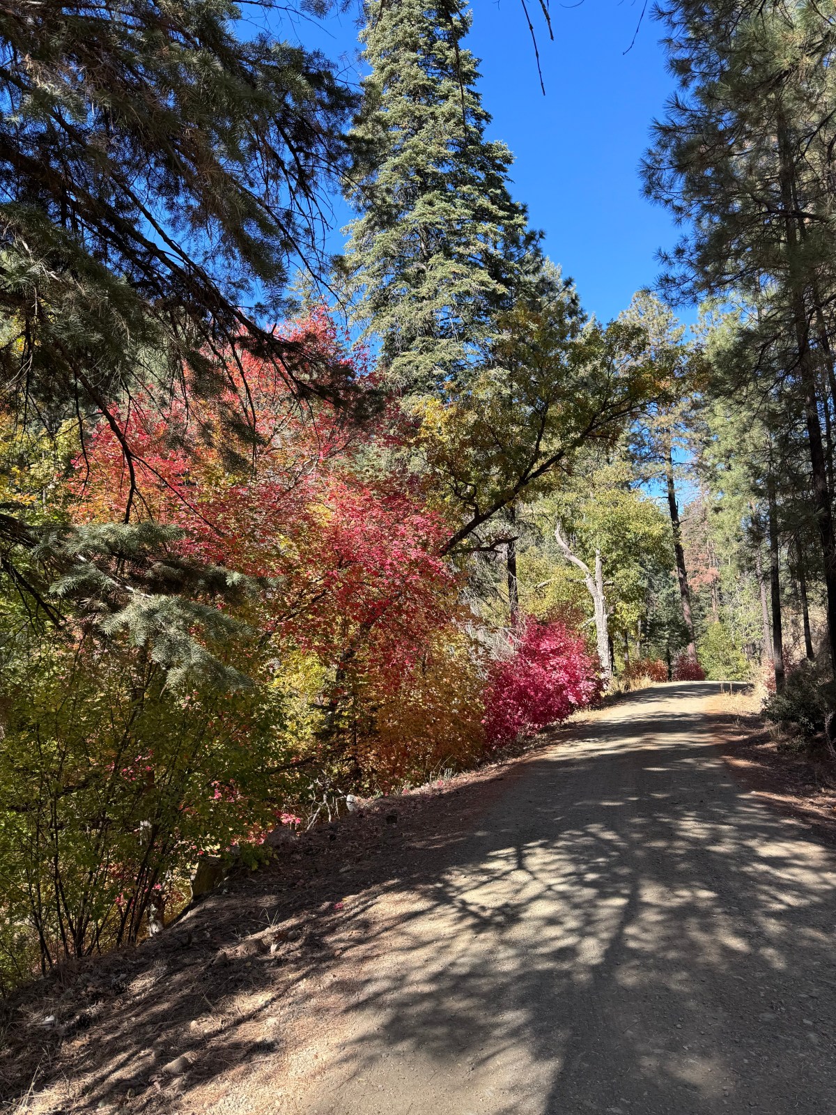
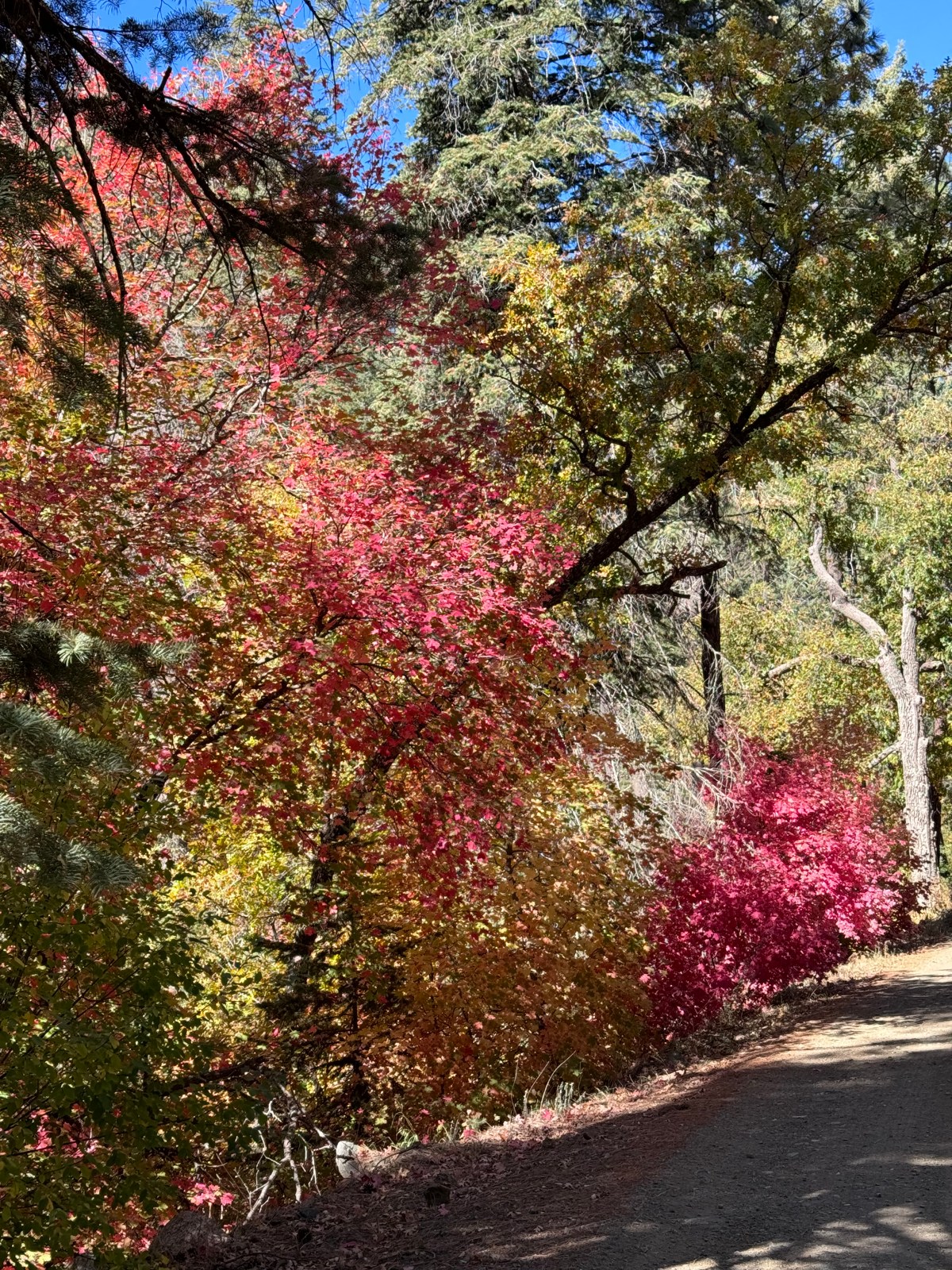
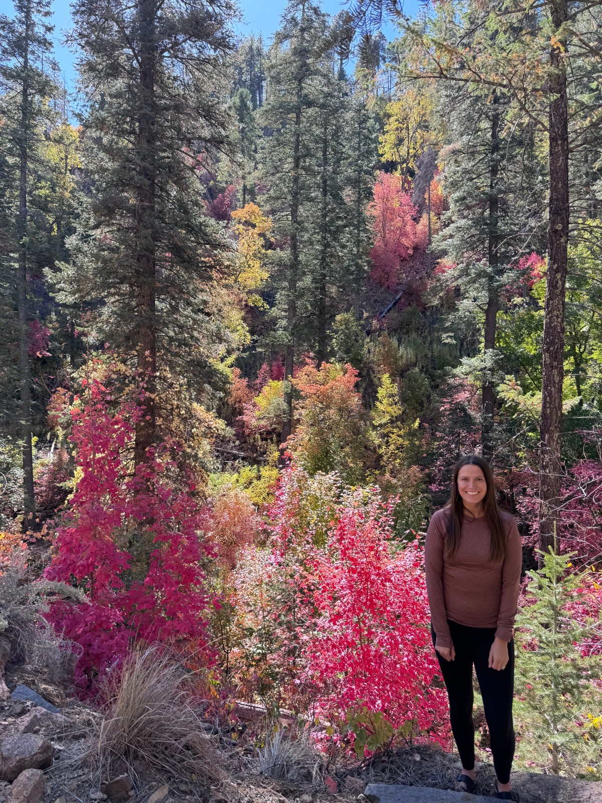
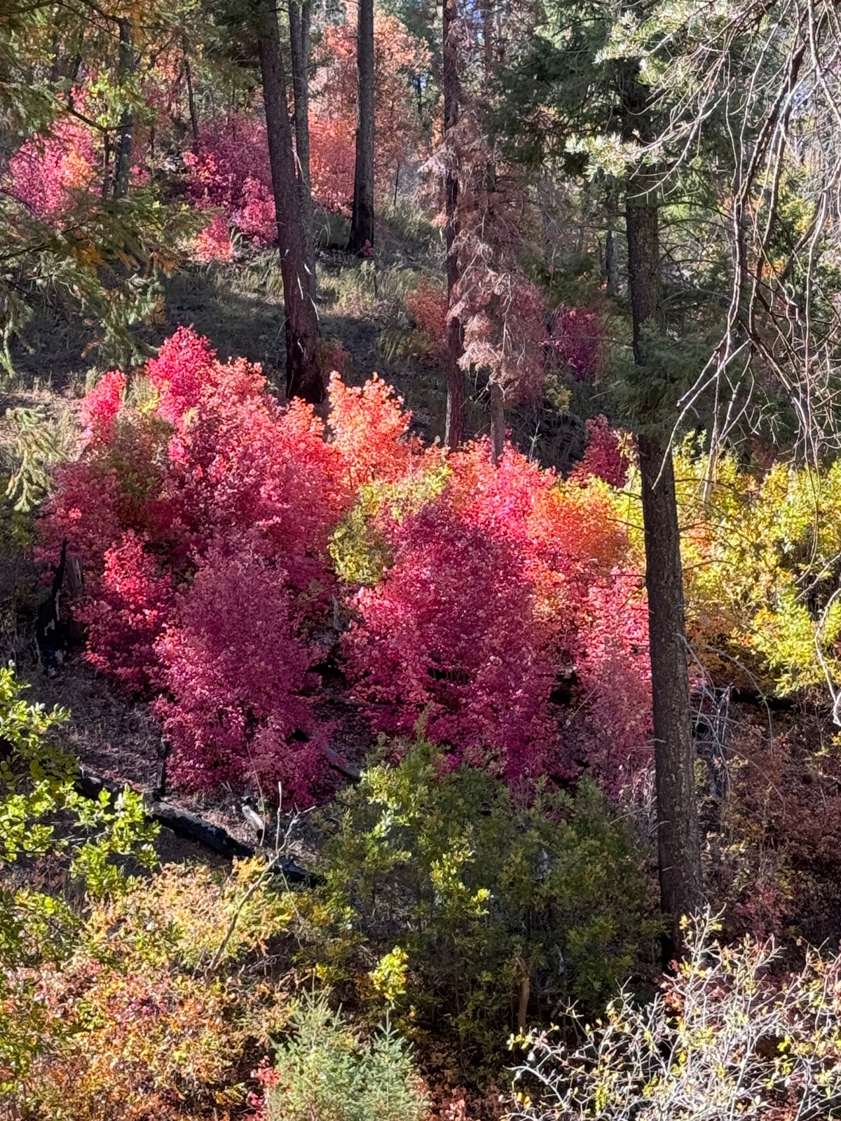
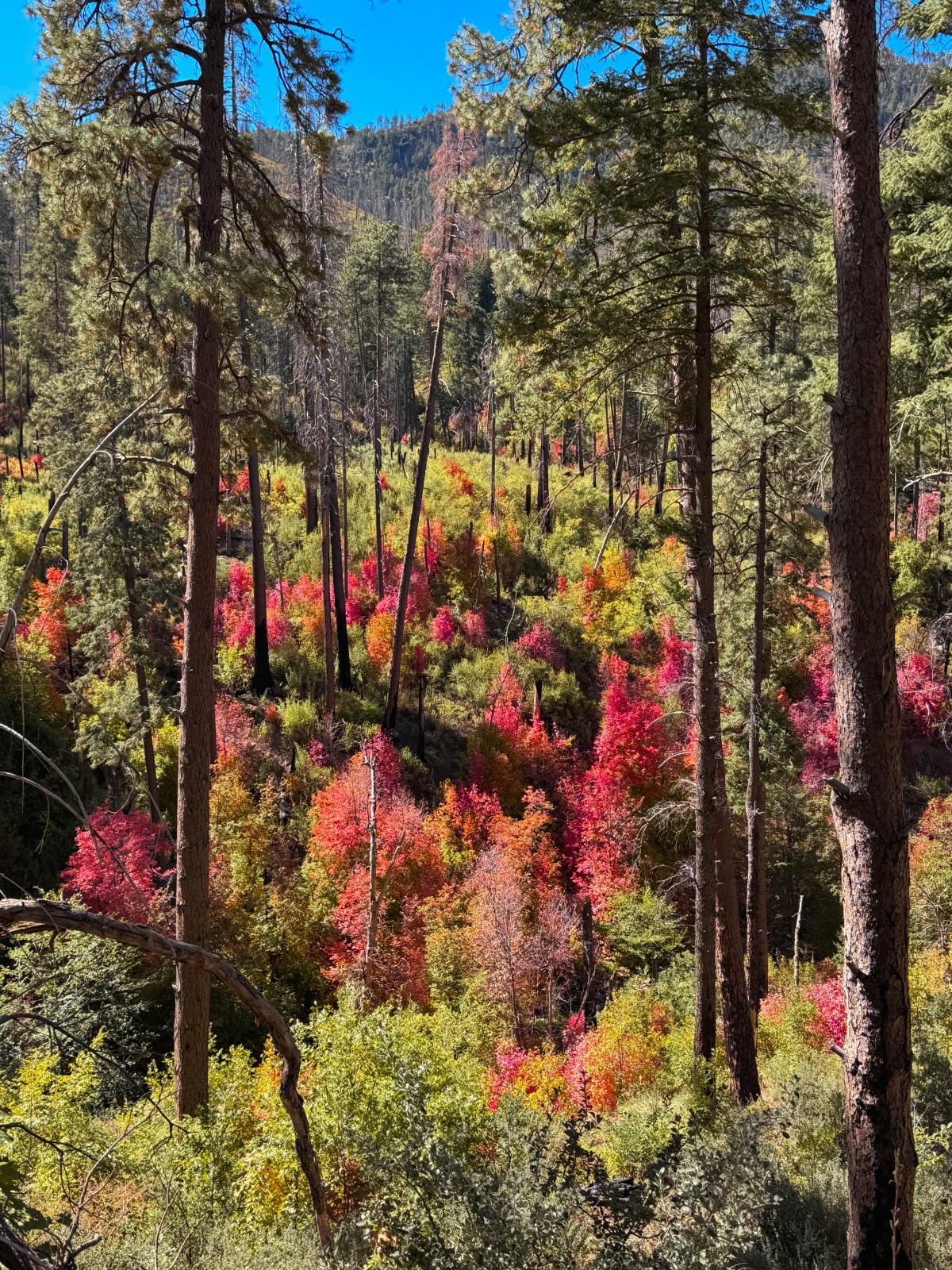
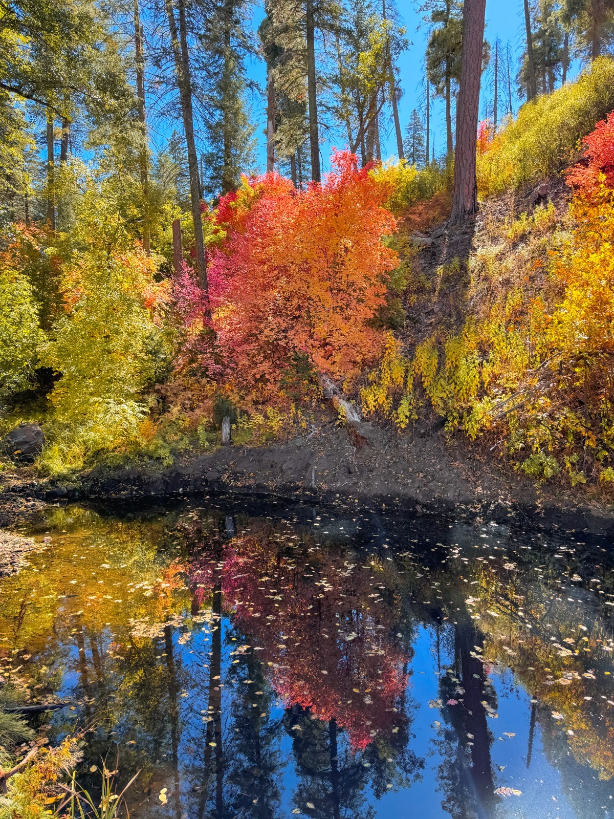
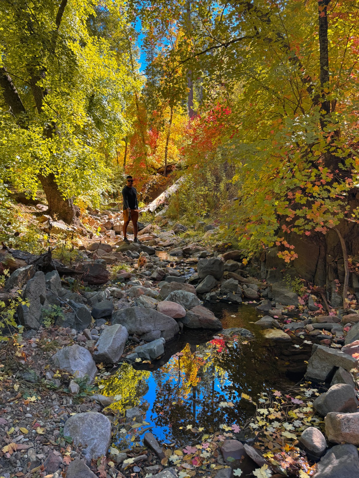
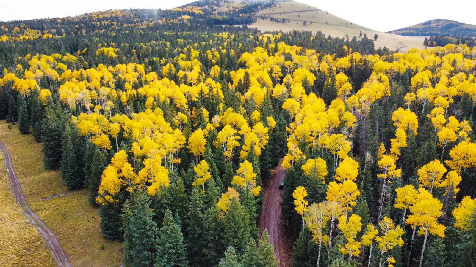
Arizona’s fall colors are a must-see, especially the stunning aspens and maples. These trees are connected, making them vulnerable to disease, so it’s crucial to practice Leave No Trace. Fall colors peak from late September in the north to early December in the south, adding vibrant hues to Arizona’s diverse landscapes.