Hike Wasson Peak: Best Trail in Saguaro National Park West
Saguaro National Park is split into two districts on either side of Tucson, and Wasson Peak is the crown jewel of the Tucson Mountain District in the west. At 4,688 feet, Wasson Peak is the highest point in this part of the park and one of the best summit hikes near Tucson. This challenging but rewarding trail winds through towering saguaro cacti, colorful desert wildflowers, and rugged mountain scenery before reaching panoramic views of the Sonoran Desert and Tucson below. If you are looking for the best hike in Saguaro National Park West, this is it.
Need to Know
This is the Sonoran Desert, home to many sharp and spiny plants, venomous reptiles and spiders, and larger wildlife like mountain lions, coyotes, and bighorn sheep. Pay careful attention to your surroundings and always hike snake aware. Additionally, this hike is through the Saguaro Wilderness within National Park boundaries. Only Non-Motorized and Non-Mechanized Activities are allowed, meaning NO mountain biking.
Please remember to practice the 7 Leave No Trace Principles when hiking and exploring. Pack out all trash and plan ahead. Check out our hiking tips for more information.
Wasson Peak Trailheads
While Hugh Norris Trail is the main route to the summit of Wasson Peak, there are multiple connecting trails and trailheads you can use to start your hike. This gives you a few options for hiking distances and route types. You can begin outside the park in Tucson Mountain County Park and connect to Hugh Norris Trail, creating either an out-and-back route or a loop.
If you prefer to start inside Saguaro National Park West, you can park at the Hugh Norris Trailhead or the Sendero Esperanza Trailhead. We chose Sendero Esperanza because it offers a nice middle-distance option and typically has good parking availability. This trailhead also has a picnic area, which makes it a great spot to relax after your hike.
Getting to Sendero Esperanza Trailhead
The easiest way to reach Sendero Esperanza Trailhead is by using a GPS or navigation app — simply type in “Sendero Esperanza Trailhead” and follow the directions. From Sandario Road on the west side of the park, turn onto Golden Gate Road and follow it to its end where you’ll find the parking area on the right.
Golden Gate Road is an unpaved but well-maintained graded road suitable for most passenger cars. Still, be mindful that conditions can change after heavy rain, so drive slowly and with caution. You can also connect to Golden Gate Road from Hohokam Road, but note that Hohokam Road becomes one-way after a certain point, so you cannot use it to return.
Quick Stats: Wasson Peak
Length:
7.8 miles recorded
Route Type:
Out and back
Elevation Gain:
1,732 ft recorded
Vaulted Toilets:
Yes
Hike to Wasson Peak
We really enjoyed our Wasson Peak hike starting from Sendero Esperanza Trailhead. We began our hike at 9 AM on a Saturday in mid January and were pleasantly surprised to have most of the trail to ourselves until we got closer to the summit.
The Sendero Esperanza Trail begins with about a mile of hiking through a sandy wash. The sand adds a little extra effort to each step, but it is not overly difficult to walk through. Make sure to pause and take in the views because this area is full of towering multi armed saguaros that make for stunning desert scenery.
After the wash, the trail begins to climb a series of well graded switchbacks. They are steep enough to get your heart rate up but not so strenuous that you need to stop frequently. As you ascend, the views get even better with sweeping panoramas of the saguaro filled desert.
After about 0.8 miles of climbing you reach the ridgeline where Sendero Esperanza Trail intersects with Hugh Norris Trail. From here follow Hugh Norris Trail toward the summit to continue your journey to the top of Wasson Peak.


Final Ascent to Wasson Peak
Once you reach the junction, make a left and follow Hugh Norris Trail east along the ridgeline. The trail continues to climb steadily as it follows the spine of the mountain. The views here are incredible, with endless saguaros, rugged mountains, and a sweeping desert landscape that seems to go on forever. It is one of the most scenic stretches of trail in Saguaro National Park West and a great spot to pause for photos.
About 2.4 miles from the start of the hike, Hugh Norris Trail begins a series of tight switchbacks as it climbs toward the summit. These switchbacks are steeper than the ones lower on the trail, but they are short and manageable. After finishing the switchbacks, it is about 0.3 miles to the top of Wasson Peak.
Overall, the hike is 3.9 miles one way from the Sendero Esperanza parking lot to the summit. Be sure to sign the summit register and take in the full 360-degree view. On a clear day you can even spot the telescope atop Kitt Peak in the distance.


The AZ Hikeaholics Top Gear Recommendations
Gear for the trail ranges from what’s in our pack to what’s on our back and feet. Here you’ll find what we trust and bring, including the essentials and what keeps us comfortable!

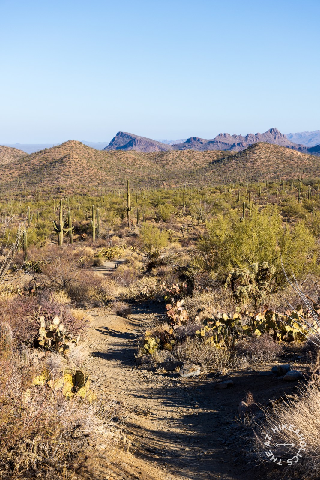
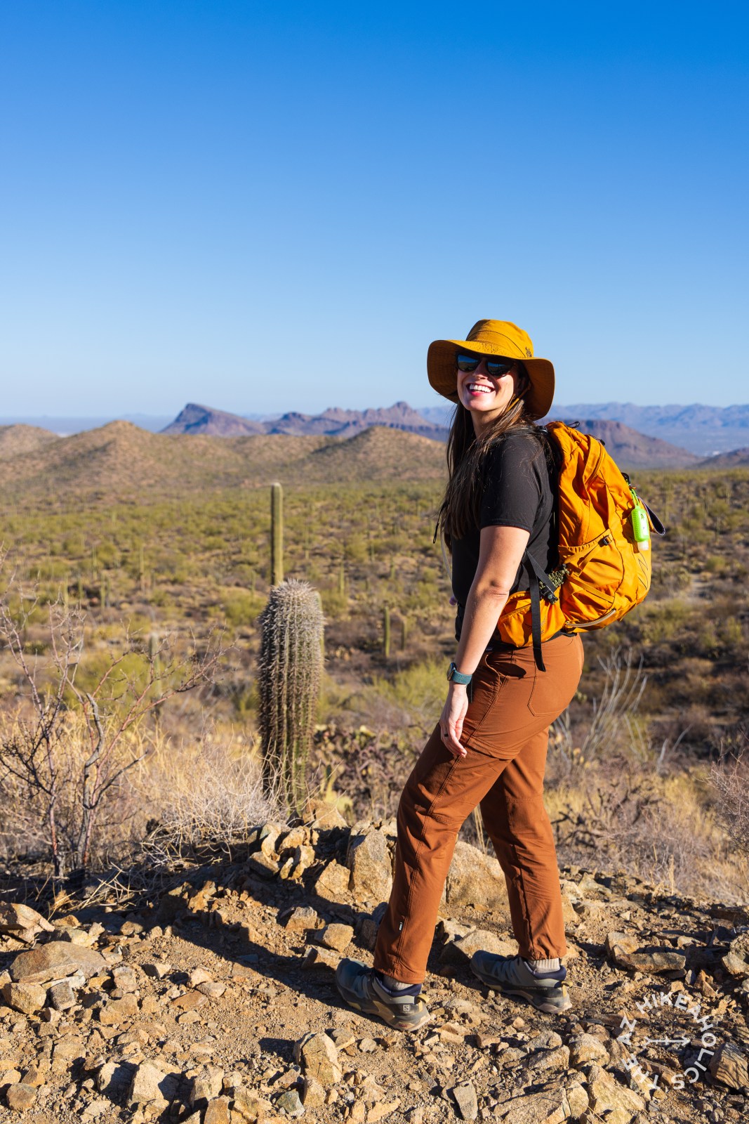
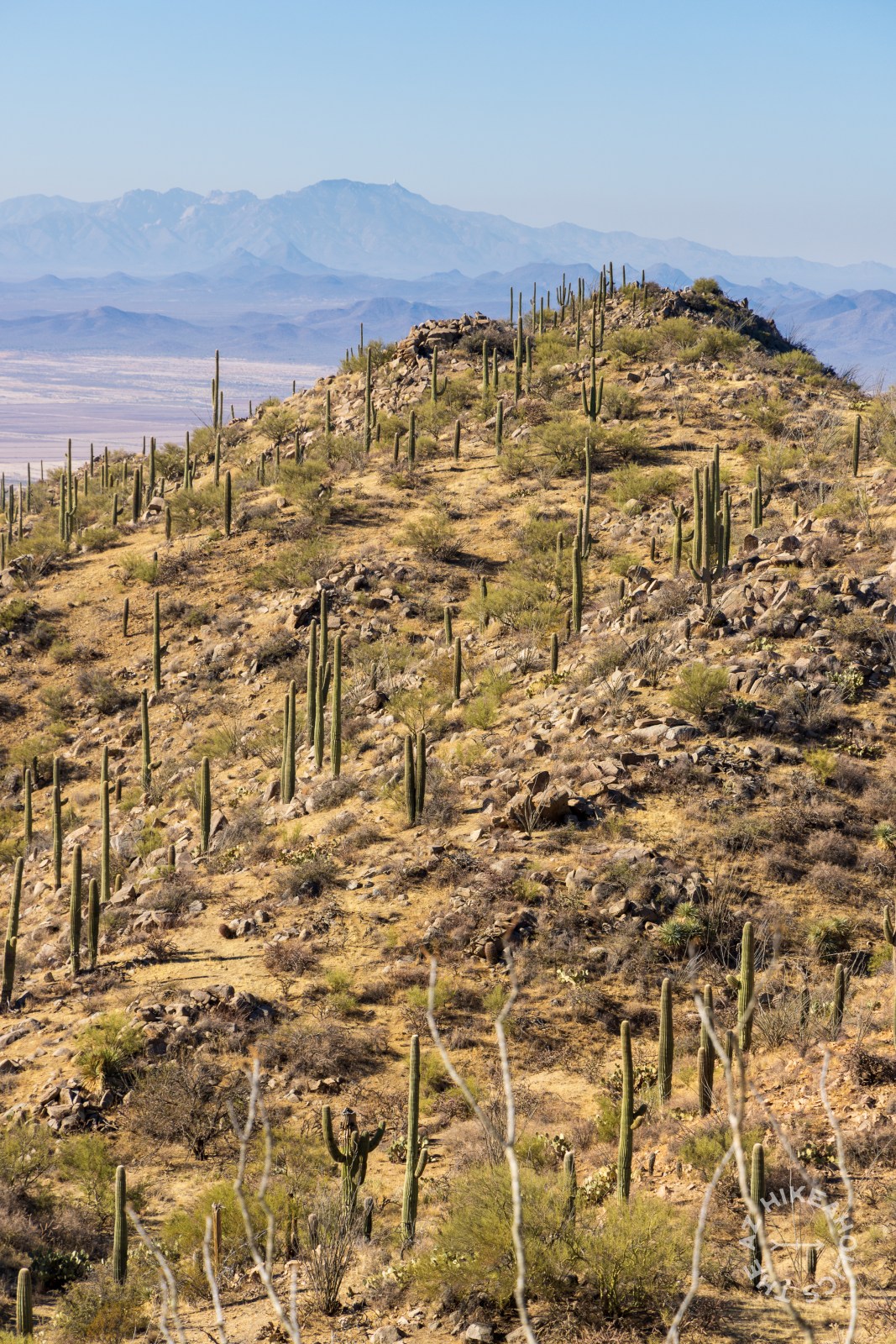
Ironwood Forest National Monument: Complete Visitor Guide
Ironwood Forest National Monument, established in 2000, spans 129,000 acres and protects unique flora like the ironwood tree and native wildlife. It features ancient Native American sites and stunning landscapes like the Ragged Top Mountains. Visitors can enjoy free dispersed camping but should practice Leave No Trace and be prepared for rough roads.

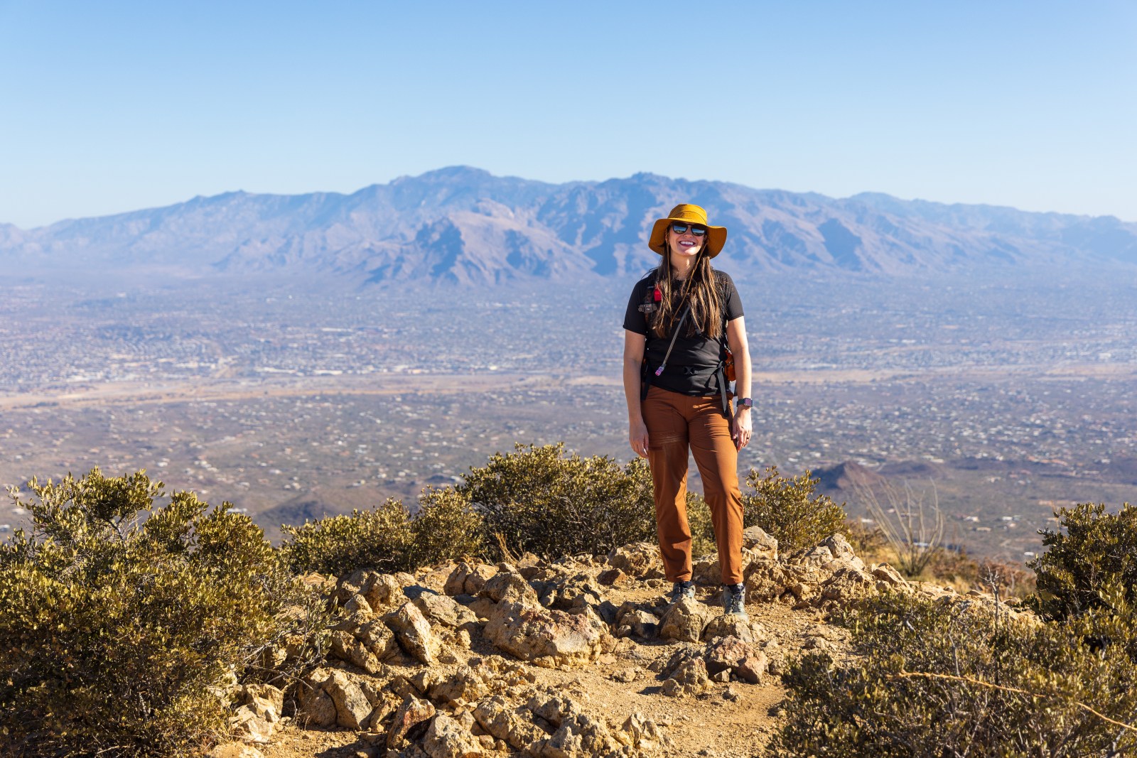
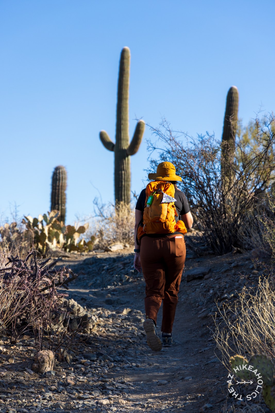
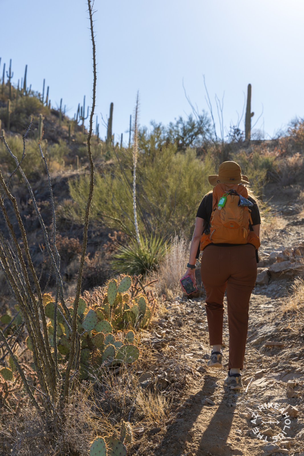
Best Hikes Near Tucson: Trails in the Desert and Sky Islands
Tucson, Arizona offers scenic desert and sky island hikes. Trails range from easy saguaro-filled paths to challenging mountain hikes. Remember to respect nature and follow trail guidelines. Notable hikes include Romero pools, Pusch Peak, Blackett’s Ridge, Lemmon Rock Lookout, Bajada Wash, Picacho Peak, and Mount Wrightson Summit.