Hiking Tom’s Thumb in Scottsdale
The Tom’s Thumb Trail is one of the most popular hikes in Scottsdale’s McDowell Sonoran Preserve. Known for its steep climb, sweeping desert views, and unique granite rock formations, this trail is a favorite for both locals and visitors. The challenging workout and iconic views make it one of the best hikes in Scottsdale, and with the right preparation, it’s a must-do for anyone exploring the Phoenix area. For more hikes in the Phoenix area check out our guide on Phoenix hikes here.
Quick Stats
Length:
4 miles
Route Type:
Out and back
Elevation Gain:
1,236 ft recorded
Vaulted Toilets:
Yes
Directions to Tom's Thumb Trailhead
Hours: The Tom’s Thumb Trailhead is open from sunrise to sunset, and the access gate adjusts based on daylight hours throughout the year. The gate will not let you in after sunset, but it will open to let you out.
Location: Tom’s Thumb is located in North Scottsdale within the McDowell Sonoran Preserve. It’s easy to reach from anywhere in the Phoenix valley using Apple Maps or Google Maps. From Happy Valley Road, turn onto Ranch Gate Road to access the trailhead.
Tip: If you plan to hike for sunset, you’ll still be able to exit the parking lot after dark, but don’t expect to get in once the gate has closed.
What to Expect Hiking Tom's Thumb Trail
The Tom’s Thumb Trail is a steep out-and-back hike that starts at Tom’s Thumb Trailhead and climbs steadily to the thumb itself, near the junction with Windgate Trail. Rated difficult on AllTrails, the hike features consistent switchbacks, rocky terrain, and a good workout for your legs.
The trail is well-marked, offering panoramic views of the southern McDowell Mountains, the valley below, and unique granite boulder formations. Near the top, the route flattens briefly before one final push around to the base of Tom’s Thumb. To reach the formation itself, you’ll need to scramble over some rocks, but it’s nothing technical.
Wildlife & Safety: Be cautious of rattlesnakes and other desert wildlife, especially in warmer months. If you’re planning a sunset hike, bring a headlamp or flashlight—the trail gets very dark after sundown.
Weather: Conditions vary dramatically by season. In cooler months, expect strong winds and chilly temps near the summit, while fall and spring bring warmer afternoons. Start early to avoid heat and crowds—by 7:30 am the trail is already busy in peak season.
Gear: Wear proper hiking shoes with good grip, as the steep downhill can be slippery. Always pack plenty of water—more than you think you’ll need. Check out our full gear guide here.


Other Hikes and Arizona Activities to Explore

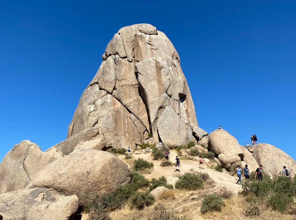
5 Best Hikes in the Superstition Mountains
This guide highlights the five best hiking trails in Arizona’s Superstition Mountains, showcasing stunning views, diverse terrains, and varying difficulties. It emphasizes outdoor ethics and provides specifics on each trail, including distance, elevation, and amenities. The trails cater to different experience levels, ensuring memorable adventures in the desert landscape.

Best Hikes in Arizona: Top Trails Across the State
Hiking in Arizona Arizona is one of the most beautiful states in the U.S., filled with some of the Southwest’s most iconic natural wonders. Here

3 Day Arizona Itinerary: Phoenix, Grand Canyon, and Sedona
If you’re visiting Arizona for the first time, start with exploring the Superstitions and Lost Dutchman State Park near Phoenix. Then, head to the Grand Canyon and Sedona for awe-inspiring natural wonders. On the third day, immerse yourself in art and culture at the Desert Botanical Garden and other city attractions in Phoenix.