Hike Across the Superstition Wilderness: Point-to-Point
The Peralta Trail to Canyon Lake route is a 15-mile hike across the heart of Arizona’s Superstition Wilderness in Tonto National Forest. This stunning traverse links multiple connecting trails to create one of the most rewarding point-to-point hikes near Phoenix. Most people complete the trek as a long day hike with a car shuttle, while others choose to turn it into an overnight backpacking trip. Below, we share how we planned our single-day hike across the Supes and what to expect along the way.
Quick Stats:
Length:
15 Miles
Route Type:
Point-To-Point
Elevation Gain:
2,273 ft
Vaulted Toilets:
Yes
Dog Friendly:
Yes - but not recommended
Fee:
No
Difficulty:
Hard
Water:
No reliable water sources
What is a Point-to-Point Hike?
A point-to-point hike starts at one trailhead and ends at a different location. Unlike a loop or out-and-back trail, you won’t return to where you started. Because of this, point-to-point hikes require some extra logistics, such as arranging transportation back to your starting point, setting up a car shuttle, or leaving a vehicle at the end of the route.
Logistics for a Point-to-Point Hike: Peralta Trail to Canyon Lake
One of the most important factors to plan for on a point-to-point hike is transportation. Since you don’t finish where you start, you’ll need to coordinate how to get back to your car. Options include leaving a vehicle at each end, arranging a drop-off and pick-up, or coordinating with friends who hike the opposite direction and swap keys at a meeting point. Doing this solo is possible but can be difficult.
For our hike, we parked at Peralta Trailhead and had Owen’s dad pick us up at the Boulder Canyon Trailhead, then drive us back to our car at Peralta. With no cell service on trail, we relied on our Garmin inReach Mini to check in with him and coordinate timing. He even joined us for the last few miles, which made the long day even more fun.
Because the route from Peralta Trail to Canyon Lake is over 15 miles, we also planned for food on trail. We brought our Jetboil to cook a quick Mountain House Adventure Meal and refuel at the halfway point, along with plenty of snacks:
Clif Bars
SaltStick electrolyte caps
Waffles
Energy gummies
If you’re curious about what we typically pack for long hikes, check out our hiking snacks and gear guide.
Hiking Peralta Trail to Boulder Trail
Before tackling this full point-to-point route, we had already hiked Peralta Trail to Fremont Saddle as an out-and-back, and explored Boulder Canyon Trail down to Boulder Creek and back. On this trip, we decided to connect the two and hike from Peralta Trailhead through to Boulder Canyon Trail, but the traverse can be done in either direction depending on your shuttle setup.
The Beginning: Peralta Trail 102
We began our hike on Peralta Trail #102 from the Peralta Trailhead just before 9 a.m. on January 8, 2022. The morning was overcast, and thanks to a wet December, the seasonal creek in Peralta Canyon was flowing—one of our favorite sounds in the desert, with mini waterfalls appearing along the way. After a steady 2.5-mile climb, we reached Fremont Saddle in about an hour, paused to enjoy the classic view of Weaver’s Needle, had a quick snack, and then continued down Peralta Trail toward the base of Weaver’s Needle.


The hike was full of stunning views at every turn. We picked up new perspectives of Weaver’s Needle, which is actually two spires but only appears that way from certain angles. Passing the Needle and moving deeper into the desert, we were once again struck by the beauty of the Superstition Wilderness. No matter how many times we hike here, the landscape never gets old.
Jagged cliffs and dramatic rock formations, born from ancient volcanic activity, anchor the skyline. Saguaro cacti rise above the desert floor, mixed with palo verde, cholla, and other native Sonoran Desert plants. Together they create a desert palette of earthy browns, greens, yellows, and on our day, bright blues from the sky and flowing springs.
Near the base of Black Top Mesa, the route joins Dutchman Trail 104. We followed Dutchman north through the creek bed and small canyon formed by Black Top Mesa and Palomino Mountain. Time on Dutchman is short, as it quickly meets Boulder Canyon Trail 103, where we continued toward our exit. If you want to finish at First Water Trailhead, stay on Dutchman Trail 104 instead of turning onto Boulder Canyon.


The Middle: Boulder Trail 103
Lunch Stop at Boulder Creek
Boulder Trail 103 follows Boulder Creek, a seasonal waterway lined with massive boulders. The name might not be the most original, but it fits perfectly. Around 1 p.m., roughly seven miles into the hike, we stopped near the creek to make lunch with our Jetboil and a Mountain House Adventure Meal. This was about the halfway point of our traverse, and it gave us a chance to use our Garmin inReach Mini to text Owen’s dad with our progress and location so he could time his pickup.
Creek Crossings and Cairns
After lunch we continued north, occasionally bushwhacking through overgrown sections of trail and pausing to scout the best creek crossings. Boulder Trail 103 crosses Boulder Creek many times, and the difficulty depends on water levels. Sometimes it’s an easy rock hop, but other times the crossings can be tricky. Keep an eye out for rock cairns marking the route. They are extremely helpful for staying on trail, and we often stop to rebuild any that have toppled to help the next hikers.
We stayed on Boulder Trail 103 all the way to its end near Canyon Lake. Along the way, we passed another hiker and his dog struggling with the high winter water levels. At one point, his dog slipped on the wet rocks and hurt a paw, but we didn’t realize it until later.
Climbing Out of Boulder Canyon
Past Battleship Mountain we met up with Owen’s dad, which was a relief after a long day knowing our ride was waiting. He turned around and hiked back out of Boulder Canyon with us. The final climb out felt much tougher after 11 miles on our feet, but we took it slow, stopping for water breaks and catching our breath. As we gained elevation, the desert spread out below us, glowing green in the winter light. The late afternoon sun added golden tones to the cliffs, and we paused at a scenic overlook to snap a few photos before finishing the hike.


The Ending: Canyon Lake
As we neared the end of the trail, the hiker with the injured dog caught up to us. He asked if we had a first aid kit. The dog had cut its paw on a creek crossing and needed it wrapped. We always carry a kit, so we helped bandage the paw. The poor pup was a champ. He limped along bravely with the wrap, and we stayed nearby to monitor him.
The trail here rolls through small hills and shifts quickly. Eventually the dog had enough and refused to keep going. He lay down on the trail in pain. It’s heartbreaking to see that happen, especially deep in the wilderness. The hiker had no choice but to carry his 60–70 pound dog. Owen even helped for part of the way.
By this point it was late in the afternoon and the sun was sinking. We still had an hour’s drive to get back to our car at Peralta. About a mile from the trail’s end we shared extra snacks with the hiker and gave him our phone number. Once cell service returned, we pressed on at our own pace. We finished at 5 p.m., just before sunset. By 6 p.m. we were back at our car at Peralta Trailhead in the dark.
Lessons Learned Hiking Peralta Trail to Canyon Lake
The good news: the hiker later texted us confirming that he and his dog made it out safely. The bad news: he learned some hard lessons on the trail that day. Hiking gear can get expensive, and not everything is essential, but there are certain basics that every hiker should always carry. Here’s what we pack in our bags for every hike and our breakdown of the 10 essentials you should never leave behind.
This hiker had set out without enough food and water, without a first aid kit, and wearing shoes that weren’t suited for the terrain. His Nike Huaraches lacked traction and stability, and once he had to carry his dog, it was clear how much his footwear made the task harder. Proper preparation makes all the difference in the Superstition Wilderness, where long mileage, creek crossings, and rugged desert terrain can quickly turn into serious challenges.


Other Hikes in the Superstitions

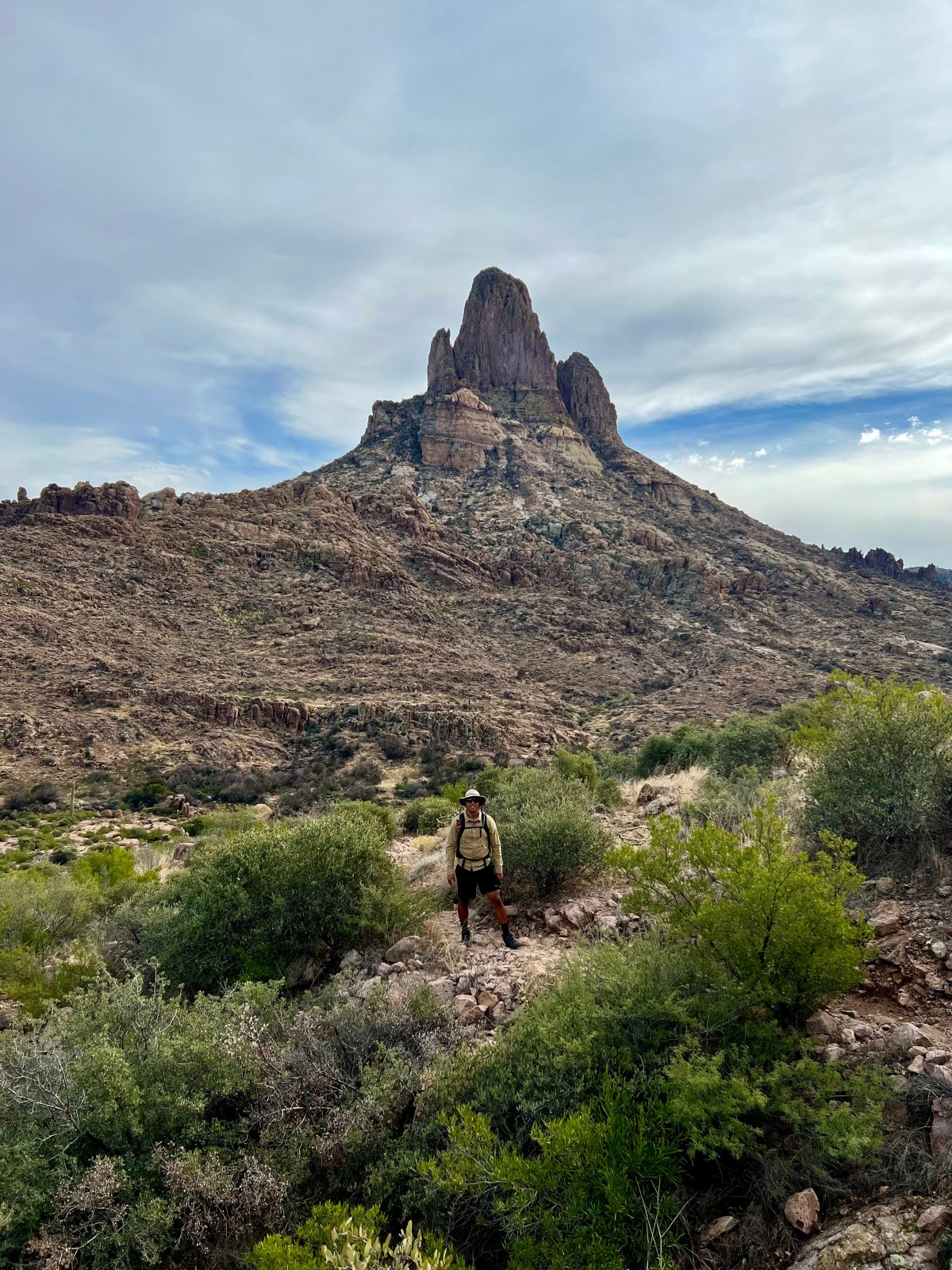
Hike Black Top Mesa: Superstition Wilderness
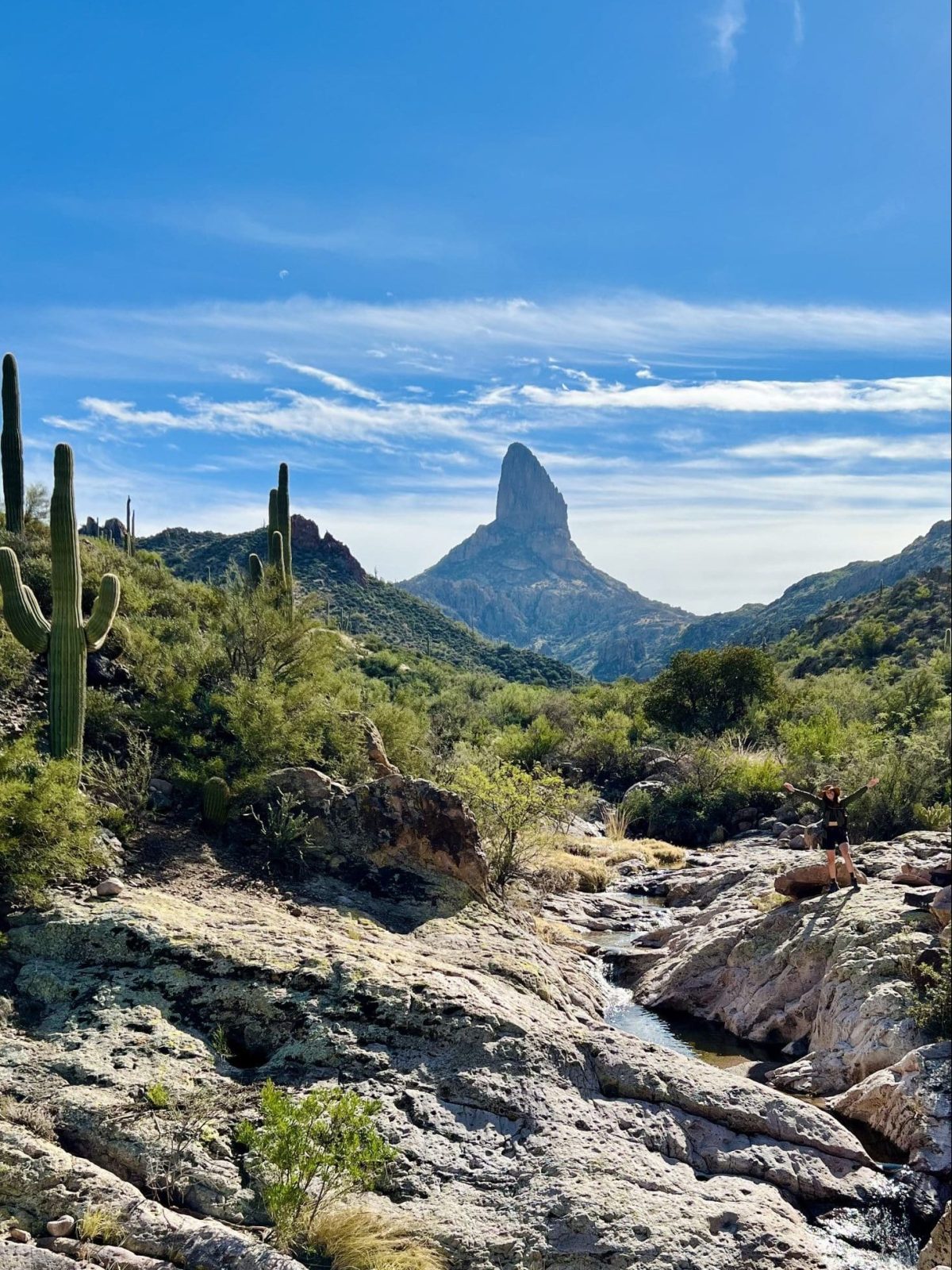
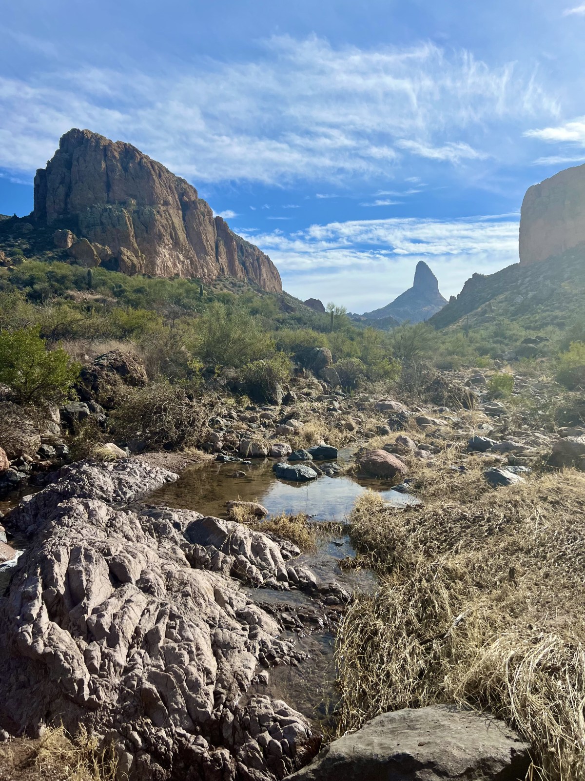
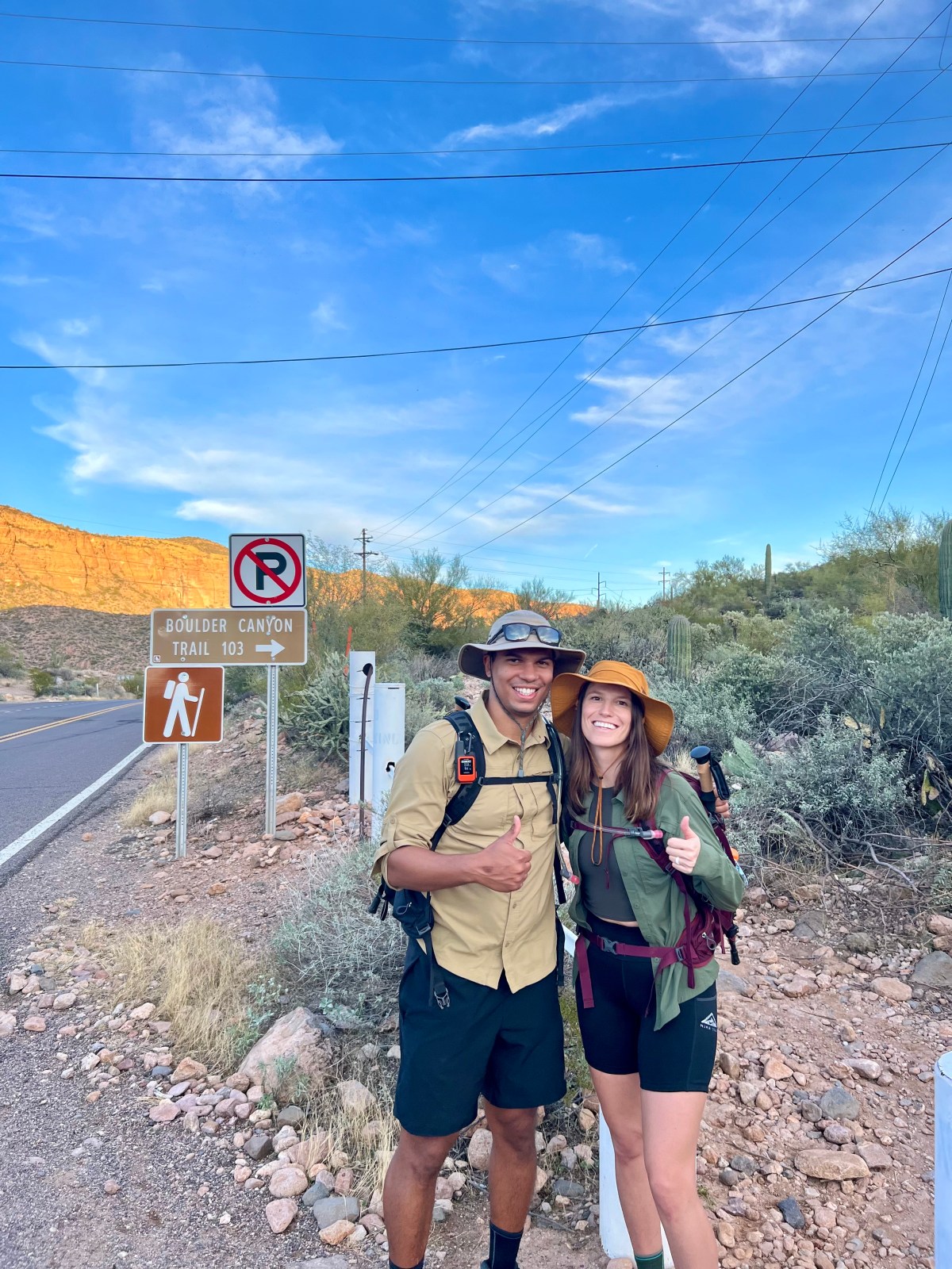
Black Top Mesa: Superstition Wilderness The trail to Black Top Mesa is a demanding and rewarding hike in the Superstition Wilderness of Tonto National Forest.

5 Best Hikes in the Superstition Mountains
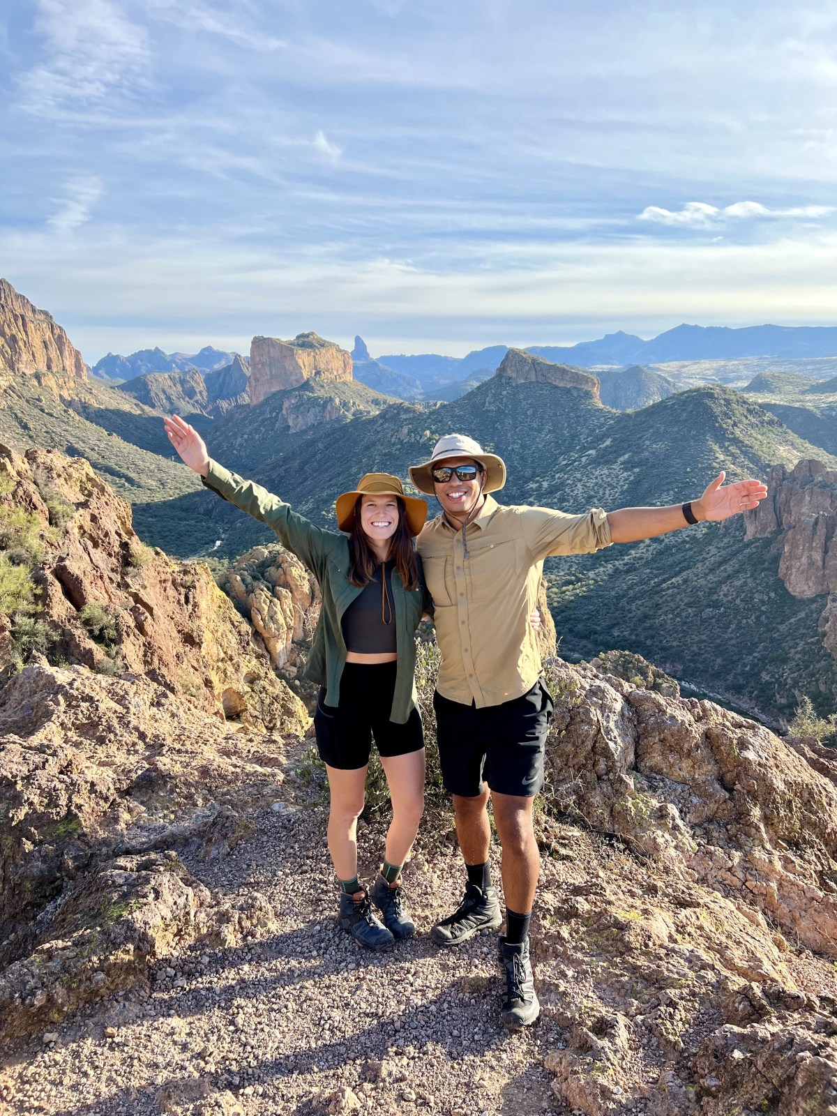
This guide highlights the five best hiking trails in Arizona’s Superstition Mountains, showcasing stunning views, diverse terrains, and varying difficulties. It emphasizes outdoor ethics and provides specifics on each trail, including distance, elevation, and amenities. The trails cater to different experience levels, ensuring memorable adventures in the desert landscape.

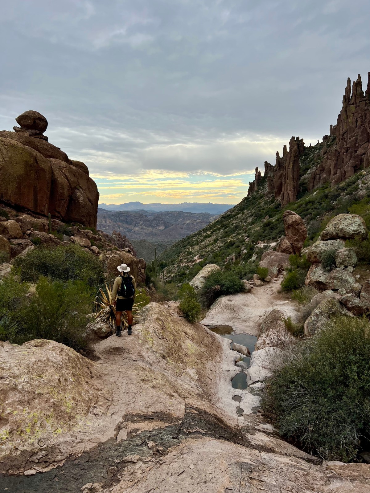
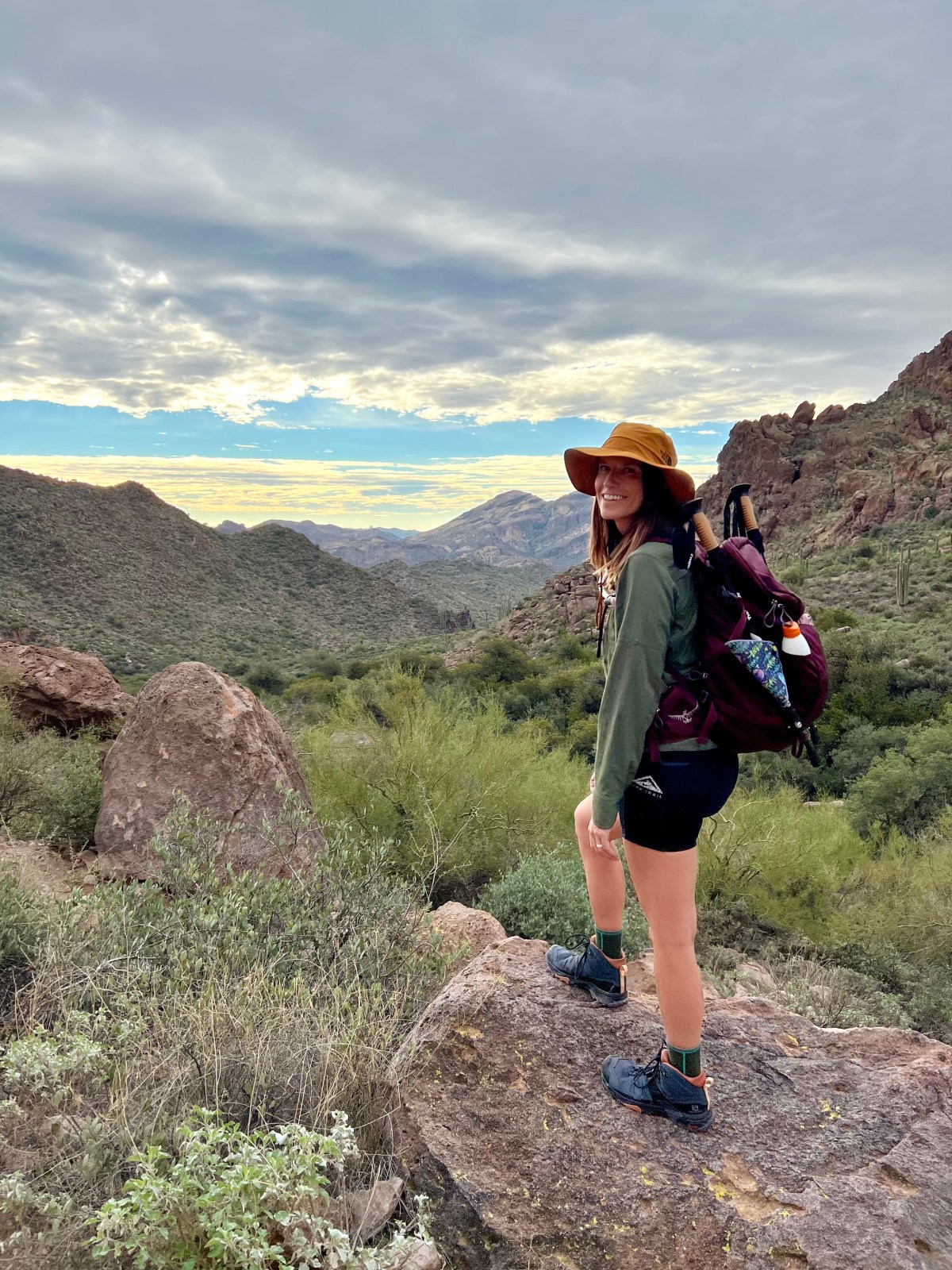
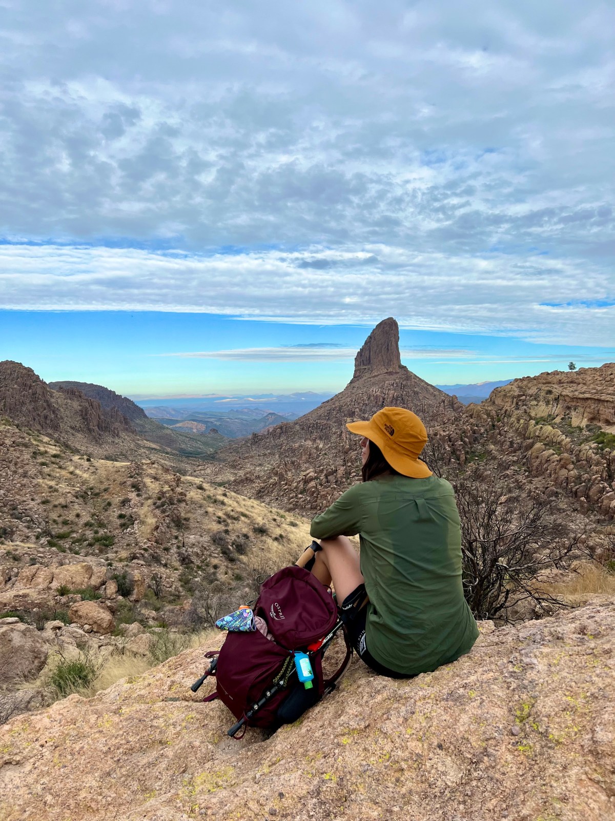
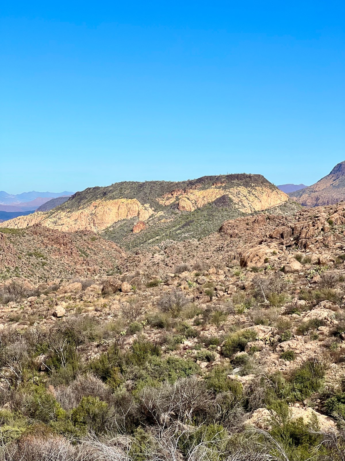
Superstition Ridgeline Trail: Superstition Mountains
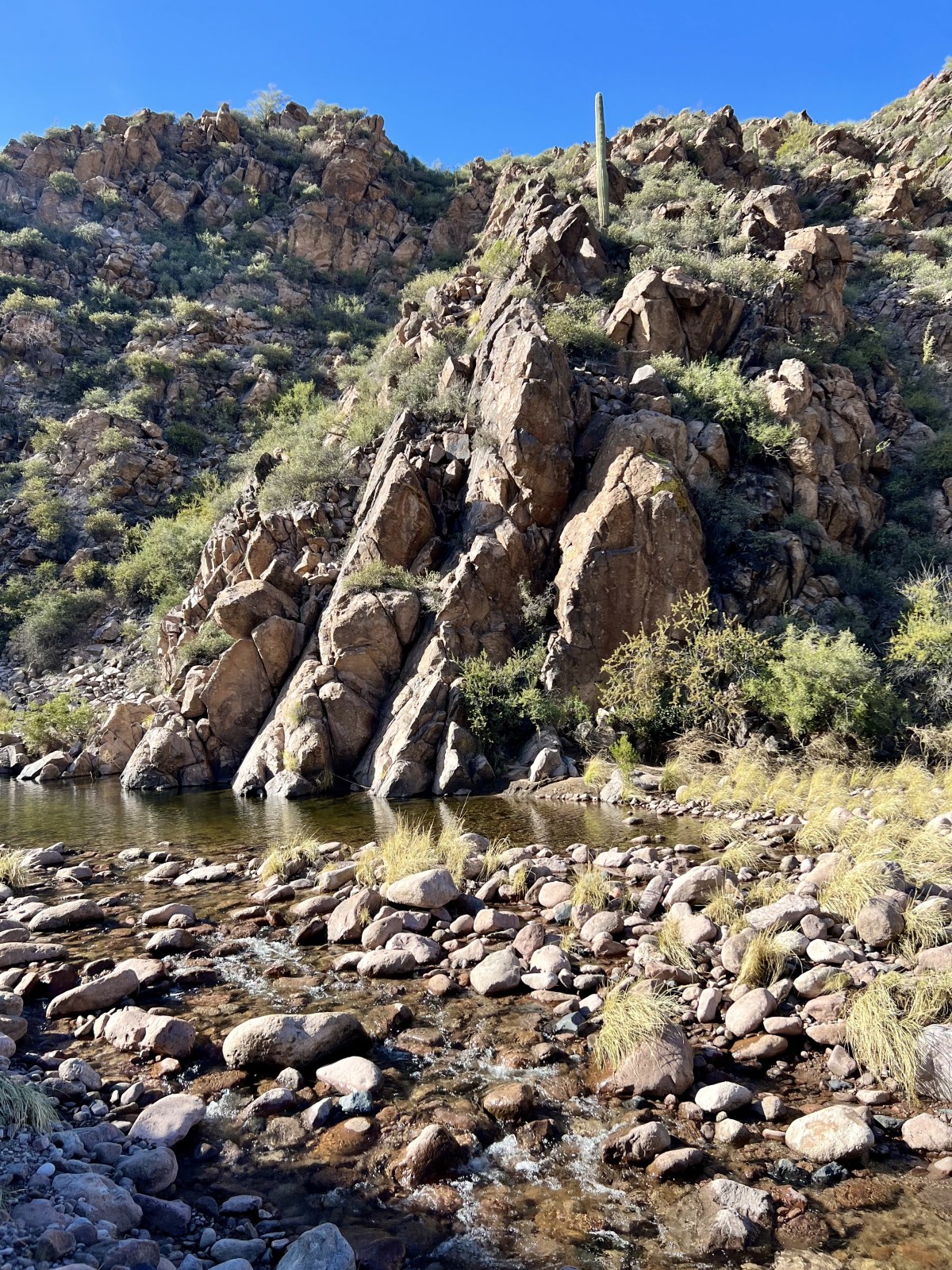
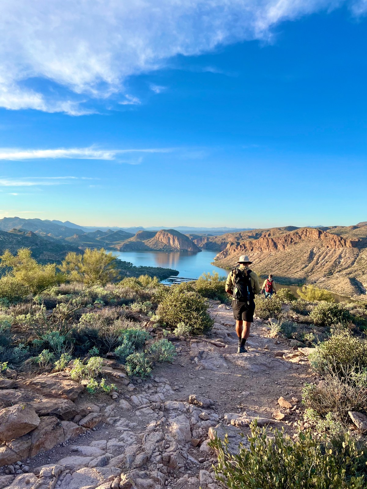
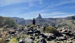
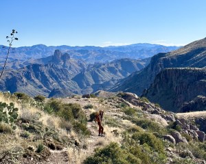
The Superstition Ridgeline Trail in Tonto National Forest is an unofficial but popular 11.25-mile hike with challenging sections and stunning views. It’s mostly exposed, so be prepared for little shade and some tricky scrambles. Don’t forget your hiking poles for the descent and watch out for wildlife!