


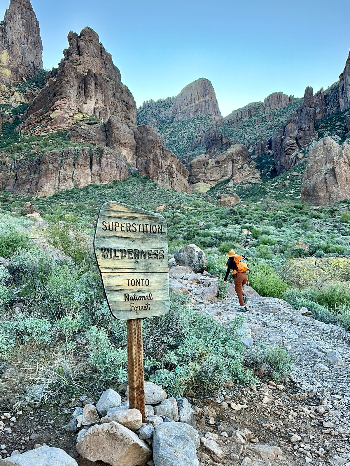


Hiking Essentials: Our 10 Must-Have Gear Picks for Every Hike
The Ten Hiking Essentials Outdoor exploration comes with risks, especially when venturing into remote or rugged areas. That’s why we always carry the ten hiking

Best Hiking Tank Tops for Women in 2026
Best Hiking Tank Tops for Women in 2026 I love a good cropped tank top! They are my go-to for hiking. But finding hiking tank

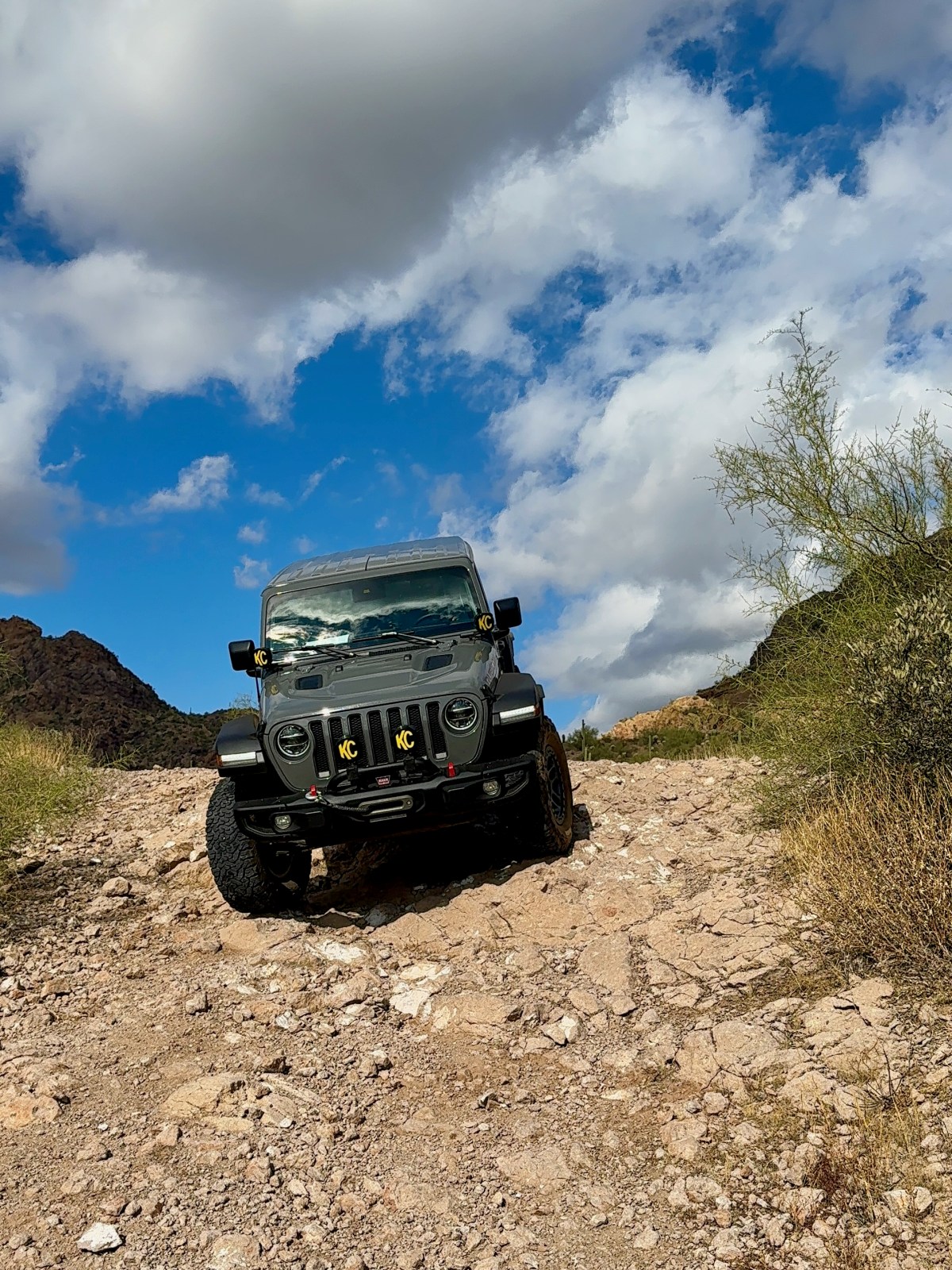
The AZ Hikeaholics Top Gear Recommendations
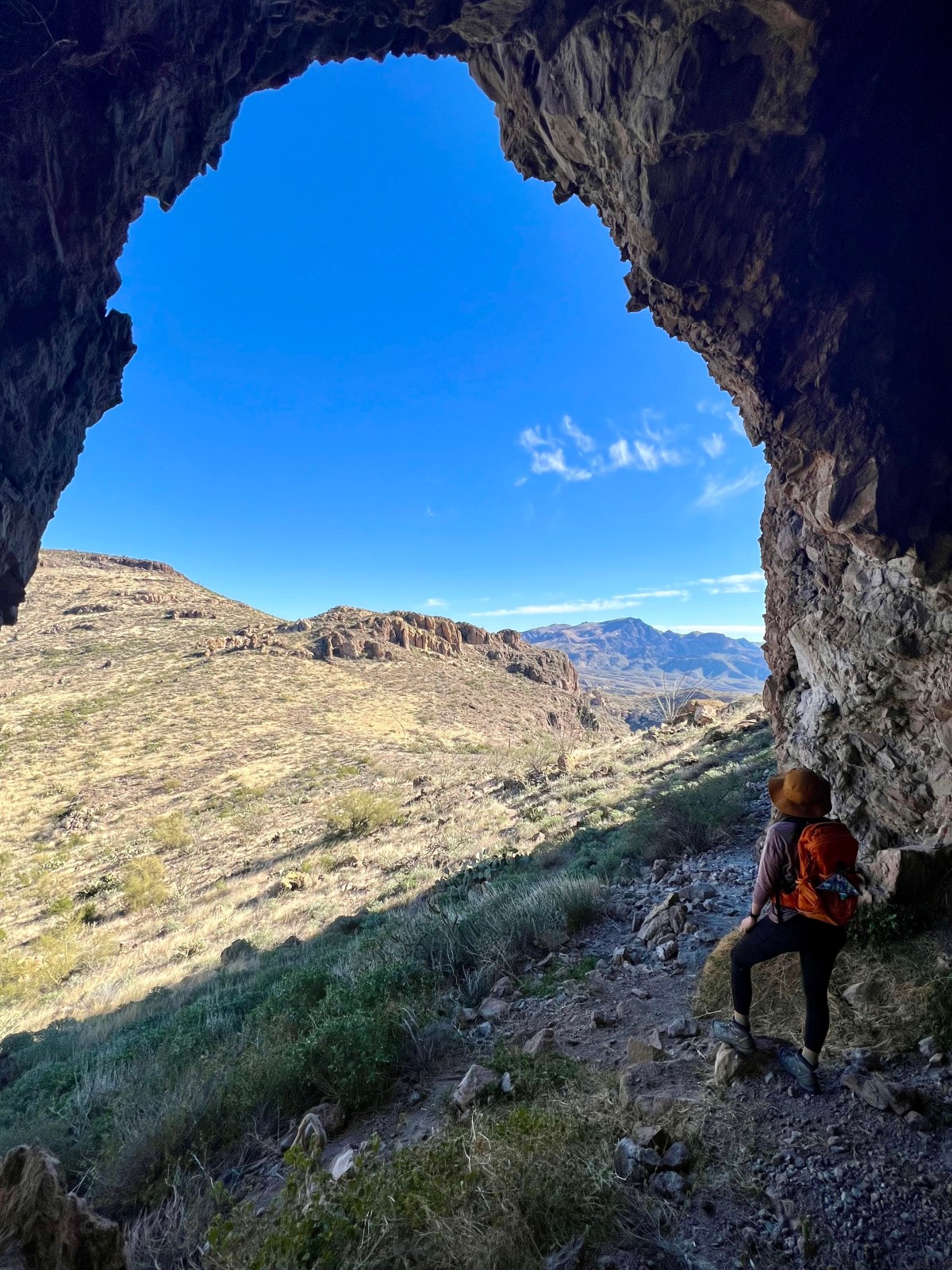
Gear for the trail ranges from what’s in our pack to what’s on our back and feet. Here you’ll find what we trust and bring, including the essentials and what keeps us comfortable!

How to Choose Hiking Boots (and Find the Best Pair for You)
If you’re shopping for hiking boots, consider your feet’s unique needs. Check the terrain and trail conditions where you will hike. Lauren’s favorites include Salomon X Ultra 4 Mid and Low for comfort, durability, and breathability. Owen swears by Salomon X Ultra 4 Mid for lightweight comfort and durability on tough terrain.

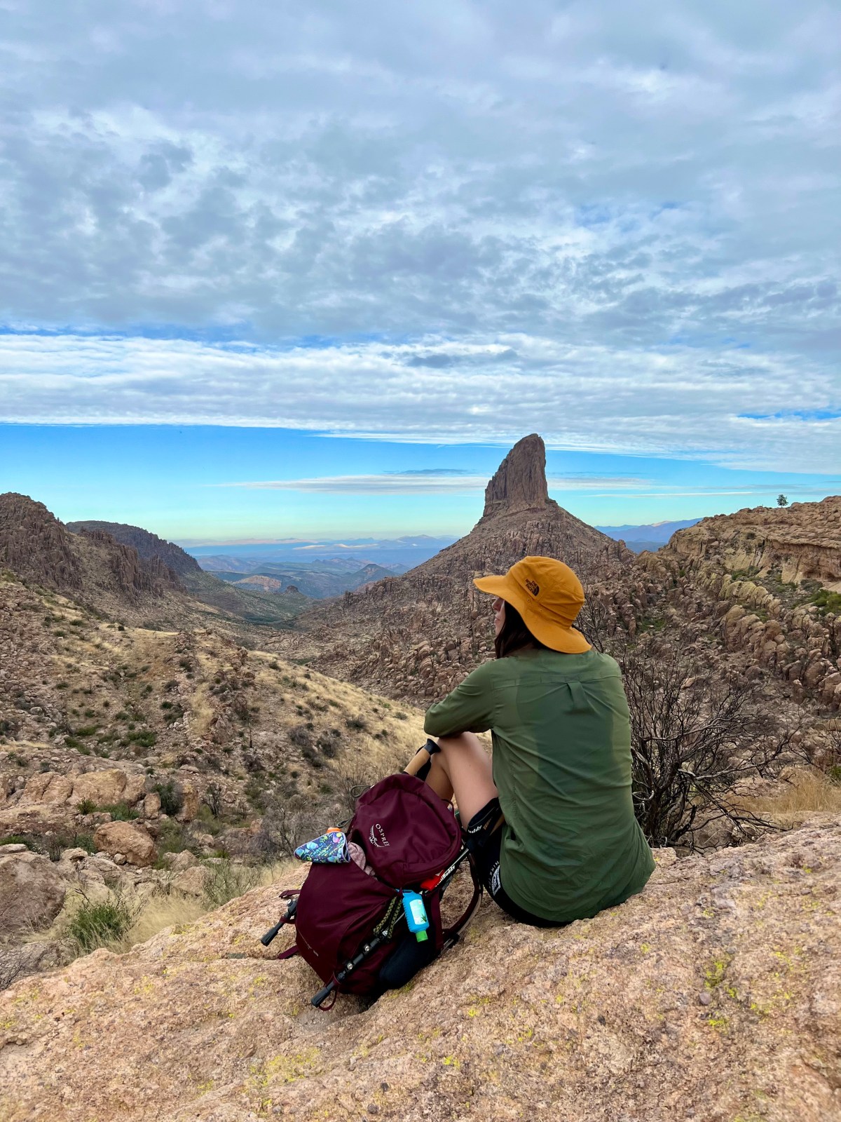
Women’s Summer Hiking Clothes (Trail-Tested Picks)
If you’re gearing up for warm weather hikes, this guide is golden! It highlights top women’s hiking clothes focused on comfort, durability, and sun protection. From quick-drying shorts to breathable tanks and sturdy hiking boots, everything has been personally tested. Check out these essentials to stay cool and comfy on the trail!

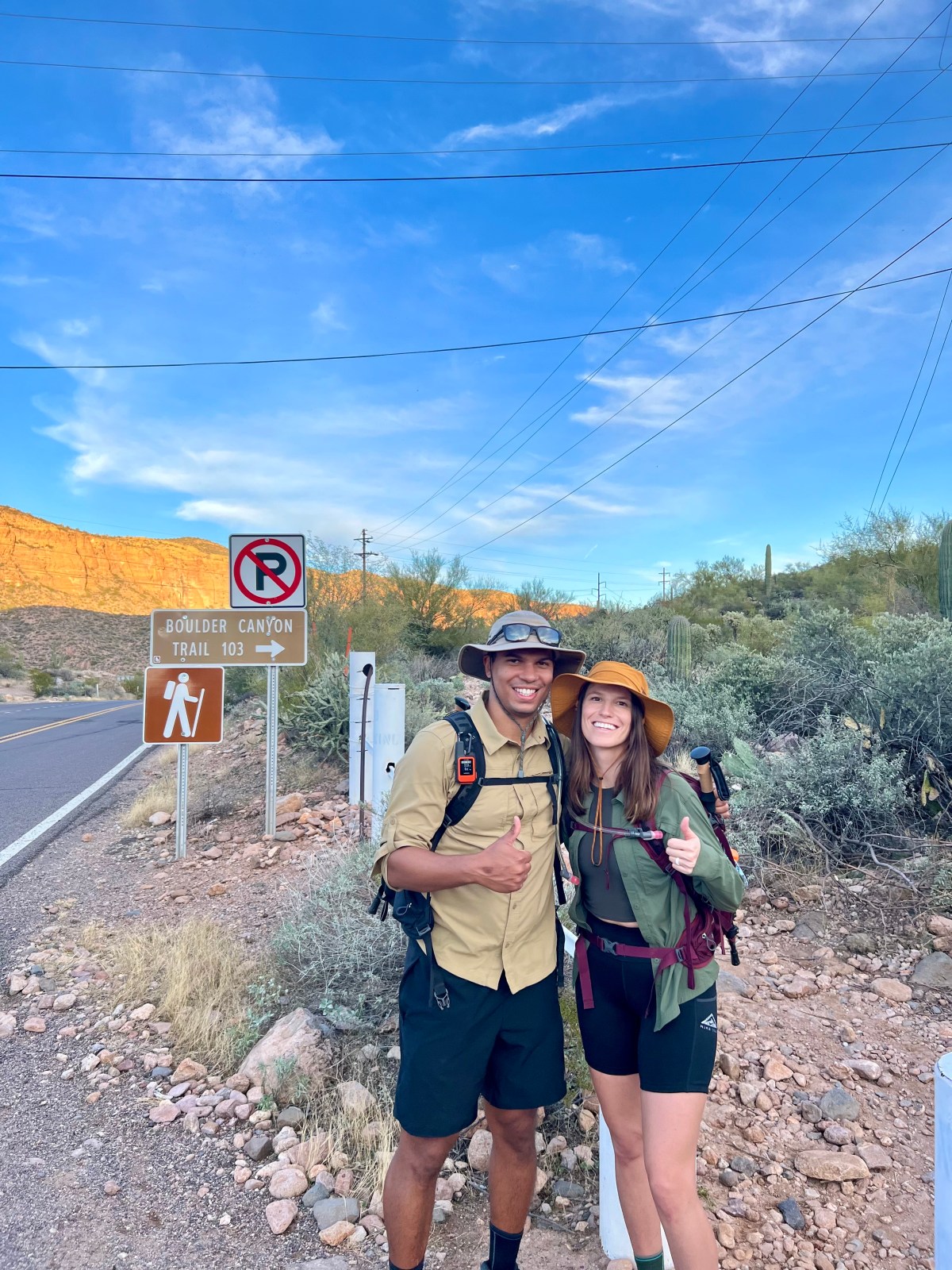
Men’s Summer Hiking Clothes: What to Wear on the Trail
What to Wear Hiking in Summer: Tested Men’s Gear Over the years, I’ve refined what I wear on the trail—especially as my hikes have become

